Filters: Tags: Granite (X)
568 results (49ms)|
Filters
Date Range
Extensions Types
Contacts
Categories Tag Types
|
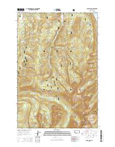
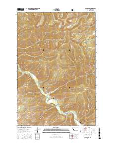
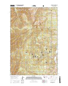
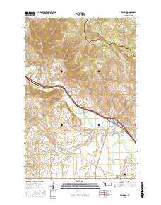
Layered GeoPDF 7.5 Minute Quadrangle Map. Layers of geospatial data include orthoimagery, roads, grids, geographic names, elevation contours, hydrography, and other selected map features.
Layered GeoPDF 7.5 Minute Quadrangle Map. Layers of geospatial data include orthoimagery, roads, grids, geographic names, elevation contours, hydrography, and other selected map features.
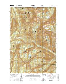
Layered GeoPDF 7.5 Minute Quadrangle Map. Layers of geospatial data include orthoimagery, roads, grids, geographic names, elevation contours, hydrography, and other selected map features.
Layered GeoPDF 7.5 Minute Quadrangle Map. Layers of geospatial data include orthoimagery, roads, grids, geographic names, elevation contours, hydrography, and other selected map features.
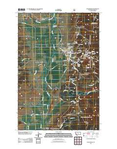
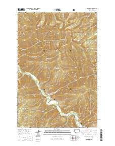
Layered geospatial PDF Map. Layers of geospatial data include orthoimagery, roads, grids, geographic names, elevation contours, hydrography, and other selected map features.
Layered geospatial PDF Map. Layers of geospatial data include orthoimagery, roads, grids, geographic names, elevation contours, hydrography, and other selected map features.
Layered geospatial PDF Map. Layers of geospatial data include orthoimagery, roads, grids, geographic names, elevation contours, hydrography, and other selected map features.
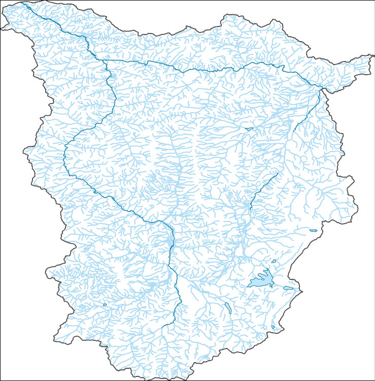
The National Hydrography Dataset (NHD) is a feature-based database that interconnects and uniquely identifies the stream segments or reaches that make up the nation's surface water drainage system. NHD data was originally developed at 1:100,000-scale and exists at that scale for the whole country. This high-resolution NHD, generally developed at 1:24,000/1:12,000 scale, adds detail to the original 1:100,000-scale NHD. (Data for Alaska, Puerto Rico and the Virgin Islands was developed at high-resolution, not 1:100,000 scale.) Local resolution NHD is being developed where partners and data exist. The NHD contains reach codes for networked features, flow direction, names, and centerline representations for areal water...
This is a geochemical data set from the reanalysis of 44 rock samples collected between 1966 and 1970, and 107 sediment samples collected in 1966 and 1967. These samples were collected by the U.S. Geological Survey for a study investigating the mineral resources of the Idaho Primitive Area (Cater et al., 1973). The samples are from the Lower Middle Fork of the Salmon River, including the tributaries of Big Creek, Camas Creek, Brush Creek, Wilson Creek, Waterfall Creek, Ship Island Creek, Reese Creek, Stoddard Creek, and Papoose Creek. The overall objective of this study is to characterize the regional impact of legacy mining for the Frank Church River of No Return Wilderness Area. Mary P. Rossillon (1981) explored...
Categories: Data;
Tags: Annie Creek,
Atomic absorption analysis,
Atomic emission spectroscopy,
Beaver Creek,
Big Creek,

The Watershed Boundary Dataset (WBD) is a comprehensive aggregated collection of hydrologic unit data consistent with the national criteria for delineation and resolution. It defines the areal extent of surface water drainage to a point except in coastal or lake front areas where there could be multiple outlets as stated by the "Federal Standards and Procedures for the National Watershed Boundary Dataset (WBD)" "Standard" (https://pubs.usgs.gov/tm/11/a3/). Watershed boundaries are determined solely upon science-based hydrologic principles, not favoring any administrative boundaries or special projects, nor particular program or agency. This dataset represents the hydrologic unit boundaries to the 12-digit (6th level)...
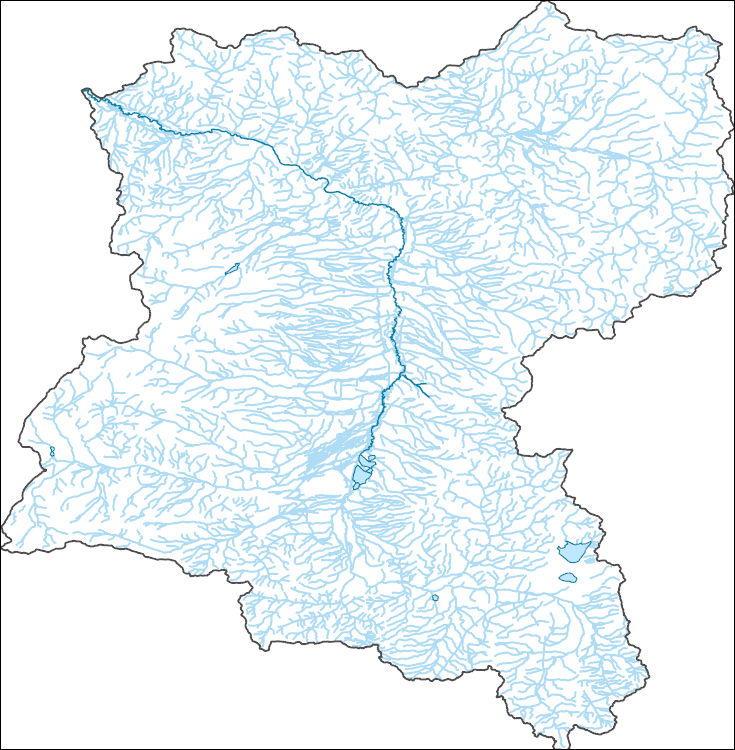
The National Hydrography Dataset (NHD) is a feature-based database that interconnects and uniquely identifies the stream segments or reaches that make up the nation's surface water drainage system. NHD data was originally developed at 1:100,000-scale and exists at that scale for the whole country. This high-resolution NHD, generally developed at 1:24,000/1:12,000 scale, adds detail to the original 1:100,000-scale NHD. (Data for Alaska, Puerto Rico and the Virgin Islands was developed at high-resolution, not 1:100,000 scale.) Local resolution NHD is being developed where partners and data exist. The NHD contains reach codes for networked features, flow direction, names, and centerline representations for areal water...
Core Research Center, core U730, from well operated by NURE (BENDIX FIELD ENGINEERING)Raw Properties from download, web scrape, MapServer, and Macrostrat API{"Lib Num": "U730", "API Num": null, "Operator": "NURE (BENDIX FIELD ENGINEERING)", "Well Name": "5 CM", "Field": "COPPER MOUNTAIN", "State": "WY", "County": "FREMONT", "Type": "FULL", "Photos": "F", "Thin Sec": "F", "Analysis": "F", "Latitude": "43.39941", "Longitude": "-107.88023", "coordinates_geohash": "9xeqchs5bkqh", "Source": "CENTER OF QUARTER SECTION", "Security Flag": "VIEWING ALLOWED, NO SAMPLING UNLESS APPROVED", "crc_collection_name": "core", "sb_parent_id": "4f4e49dae4b07f02db5e0486", "intervals": [{"Formation": "TEPEE TRAIL", "Age": "TERT", "Min...
Core Research Center, core U736, from well operated by NURE (ROCKY MTN ENERGY)Raw Properties from download, web scrape, MapServer, and Macrostrat API{"Lib Num": "U736", "API Num": null, "Operator": "NURE (ROCKY MTN ENERGY)", "Well Name": "28 MGCH", "Field": "COPPER MOUNTAIN", "State": "WY", "County": "FREMONT", "Type": "SPLIT", "Photos": "F", "Thin Sec": "F", "Analysis": "F", "Latitude": "43.40665", "Longitude": "-107.88023", "coordinates_geohash": "9xeqcjun06n1", "Source": "CENTER OF QUARTER SECTION", "Security Flag": "VIEWING ALLOWED, NO SAMPLING UNLESS APPROVED", "crc_collection_name": "core", "sb_parent_id": "4f4e49dae4b07f02db5e0486", "intervals": [{"Formation": "TEPEE TRAIL", "Age": "TERT", "Min Depth": "0",...
Core Research Center, core U898, from well operated by UNIVERSITY OF COLORADORaw Properties from download, web scrape, MapServer, and Macrostrat API{"Lib Num": "U898", "API Num": null, "Operator": "UNIVERSITY OF COLORADO", "Well Name": "ELK M-2", "Field": null, "State": "CO", "County": "PARK", "Type": "FULL", "Photos": "T", "Thin Sec": "F", "Analysis": "F", "Latitude": "39.29898", "Longitude": "-105.78381", "coordinates_geohash": "9wuz8f4t4sf5", "Source": "FROM STATE RECORDS", "Security Flag": "NO SPECIAL RESTRICTIONS", "crc_collection_name": "core", "sb_parent_id": "4f4e49dae4b07f02db5e0486", "intervals": [{"Formation": "PRE CAMBRIAN", "Age": "PRECAMBRIAN", "Min Depth": "1", "Max Depth": "57"}], "crcwc_url": "https://my.usgs.gov/crcwc/core/report/18119",...
Core Research Center, core A252, from well operated by FOREST OIL CORPRaw Properties from download, web scrape, MapServer, and Macrostrat API{"Lib Num": "A252", "API Num": "4902505423", "Operator": "FOREST OIL CORP", "Well Name": "43-22-12 GRIEVE UNIT", "Field": "GRIEVE", "State": "WY", "County": "NATRONA", "Type": "SLABBED", "Photos": "T", "Thin Sec": "T", "Analysis": "F", "Latitude": "42.73138", "Longitude": "-107.00236", "coordinates_geohash": "9xegj552269d", "Source": "FROM STATE RECORDS", "Security Flag": "NO SPECIAL RESTRICTIONS", "crc_collection_name": "core", "sb_parent_id": "4f4e49dae4b07f02db5e0486", "intervals": [{"Formation": "MUDDY", "Age": "CRET", "Min Depth": "7070", "Max Depth": "7085"}], "crcwc_url":...
Categories: Physical Item;
Tags: CRET,
MUDDY,
Oligocene,
White River Formation,
White River Formation,
Core Research Center, cutting CZ05607, from well operated by CALIFORNIA CO.Raw Properties from download, web scrape, MapServer, and Macrostrat API{"Lib Num": "CZ05607", "API Num": null, "Operator": "CALIFORNIA CO.", "Well Name": "4 CORE HOLE", "Field": null, "State": "WY", "County": "FREMONT", "Thin Sec": "F", "Analysis": "F", "Latitude": "42.51561", "Longitude": "-107.98169", "coordinates_geohash": "9xe1ygdpkk0h", "Source": "CENTER OF SECTION", "Min": "800", "Max": "1089", "Security Flag": null, "crc_collection_name": "cutting", "sb_parent_id": "4f4e49d8e4b07f02db5df2d2", "intervals": [{"Formation": null, "Age": null, "Min Depth": null, "Max Depth": null}], "crcwc_url": "https://my.usgs.gov/crcwc/cutting/report/17013",...
Categories: Physical Item;
Tags: Miocene,
Split Rock Formation,
Split Rock Formation,
chert,
conglomerate,
Core Research Center, cutting DZ15600, from well operated by CHANDLER & ASSOCRaw Properties from download, web scrape, MapServer, and Macrostrat API{"Lib Num": "DZ15600", "API Num": "4902120105", "Operator": "CHANDLER & ASSOC", "Well Name": "13-10 DOLAN", "Field": "WC", "State": "WY", "County": "LARAMIE", "Thin Sec": "F", "Analysis": "T", "Latitude": "41.10182", "Longitude": "-104.19436", "coordinates_geohash": "9xmcufrgrqw4", "Source": "FROM STATE RECORDS", "Min": "2040", "Max": "7820", "Security Flag": null, "crc_collection_name": "cutting", "sb_parent_id": "4f4e49d8e4b07f02db5df2d2", "intervals": [{"Formation": null, "Age": null, "Min Depth": null, "Max Depth": null}], "crcwc_url": "https://my.usgs.gov/crcwc/cutting/report/37178",...
Core Research Center, cutting CZ17490, from well operated by GULF OIL CO./CHEVRON USARaw Properties from download, web scrape, MapServer, and Macrostrat API{"Lib Num": "CZ17490", "API Num": "4903320176", "Operator": "GULF OIL CO./CHEVRON USA", "Well Name": "1-9-2D GRANITE RIDGE", "Field": "WC", "State": "WY", "County": "SHERIDAN", "Thin Sec": "F", "Analysis": "T", "Latitude": "44.58269", "Longitude": "-106.98021", "coordinates_geohash": "9xgvts52urv8", "Source": "FROM STATE RECORDS", "Min": "586", "Max": "15585", "Security Flag": null, "crc_collection_name": "cutting", "sb_parent_id": "4f4e49d8e4b07f02db5df2d2", "intervals": [{"Formation": null, "Age": null, "Min Depth": null, "Max Depth": null}], "crcwc_url": "https://my.usgs.gov/crcwc/cutting/report/29146",...
Core Research Center, core B072, from well operated by GALLAGHER VICTOR RRaw Properties from download, web scrape, MapServer, and Macrostrat API{"Lib Num": "B072", "API Num": "4901320662", "Operator": "GALLAGHER VICTOR R", "Well Name": "1 USA SIMS", "Field": "WILDCAT", "State": "WY", "County": "FREMONT", "Type": "SLABBED", "Photos": "T", "Thin Sec": "F", "Analysis": "T", "Latitude": "42.745", "Longitude": "-107.95026", "coordinates_geohash": "9xe5pt3p8ts1", "Source": "FROM STATE RECORDS", "Security Flag": "NO SPECIAL RESTRICTIONS", "crc_collection_name": "core", "sb_parent_id": "4f4e49dae4b07f02db5e0486", "intervals": [{"Formation": "TENSLEEP", "Age": "PENN", "Min Depth": "2141", "Max Depth": "2190"}], "crcwc_url":...
Categories: Physical Item;
Tags: Early Eocene,
PENN,
TENSLEEP,
Wind River Formation,
Wind River Formation,
Core Research Center, core U924, from well operated by DELHI TAYLOR OILRaw Properties from download, web scrape, MapServer, and Macrostrat API{"Lib Num": "U924", "API Num": null, "Operator": "DELHI TAYLOR OIL", "Well Name": "1-A CANE CREEK", "Field": "CANE CREEK", "State": "UT", "County": "GRAND", "Type": "FULL", "Photos": "F", "Thin Sec": "F", "Analysis": "F", "Latitude": "38.51245", "Longitude": "-109.66278", "coordinates_geohash": "9wf50dfp2108", "Source": "CENTER OF SECTION", "Security Flag": "VIEWING ALLOWED, NO SAMPLING UNLESS APPROVED", "crc_collection_name": "core", "sb_parent_id": "4f4e49dae4b07f02db5e0486", "intervals": [{"Formation": "UNKNOWN", "Age": "UNKN", "Min Depth": "30", "Max Depth": "50"}, {"Formation":...
Categories: Physical Item;
Tags: Cutler Formation,
Cutler Formation,
Lower Permian,
conglomerate,
felsite,
|

|
