Filters: Tags: Greenland (X)
98 results (89ms)|
Filters
Date Range
Extensions Types
Contacts
Categories Tag Types
|
Introduction This data release is a compilation of known landslides, debris flows, lahars, and outburst floods that generated seismic signals observable on existing seismic networks. The data release includes basic information about each event such as location, volume, area, and runout distances as well as information about seismic detections and the location of seismic data, photos, maps, GIS files, and links to papers, websites, and media reports about the event. Not all record types exist for each event, and the quality of the information varies from event to event. While the SQLite3 database (lsseis.db) is the native format of this database and preserves its relational structure, for the convenience of users,...
Categories: Data;
Types: Citation,
Downloadable,
Map Service,
OGC WFS Layer,
OGC WMS Layer,
Shapefile;
Tags: Alaska,
British Columbia,
California,
Canada,
Colorado,
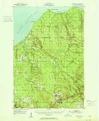
USGS Historical Quadrangle in GeoPDF.
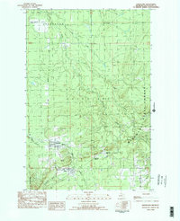
USGS Historical Quadrangle in GeoPDF.
Greenland. Iceberg in Wohlstenholme Fjord, northeast of Thule Air Force Base. June 1953.
Greenland. Iceberg in Wohlstenholme Fjord, northeast of Thule Air Force Base. August 1953.
This data set contains imagery from the National Agriculture Imagery Program (NAIP). The NAIP program is administered by USDA FSA and has been established to support two main FSA strategic goals centered on agricultural production. These are, increase stewardship of America's natural resources while enhancing the environment, and to ensure commodities are procured and distributed effectively and efficiently to increase food security. The NAIP program supports these goals by acquiring and providing ortho imagery that has been collected during the agricultural growing season in the U.S. The NAIP ortho imagery is tailored to meet FSA requirements and is a fundamental tool used to support FSA farm and conservation programs....
The Hydrologic Derivatives for Modeling and Analysis (HDMA) database provides comprehensive and consistent global coverage of raster and vector topographically derived layers. The HDMA includes five raster layers: digital elevation model (DEM) data, flow direction, flow accumulation, slope, and compound topographic index (CTI); and three vector layers: streams, catchment boundaries, and processing units. The coverage of the data is global (-180º, 180º, -90º, 90º) with the underlying DEM being a hybrid of three datasets: HydroSHEDS (Hydrological data and maps based on SHuttle Elevation Derivatives at multiple Scales), Global Multi-resolution Terrain Elevation Data 2010 (GMTED2010) and the Shuttle Radar Topography...
Greenland. Kames in Happy Valley. August 8, 1953.
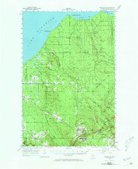
USGS Historical Quadrangle in GeoPDF.
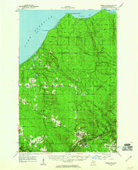
USGS Historical Quadrangle in GeoPDF.
Crystalline graphite is a primary material in lithium-ion battery anodes which are essential in moving towards green energy. Forecasts for 2040 anticipate an order of magnitude increase in graphite demand driven by sustainable development policies to reduce carbon emissions. Domestic production of graphite ceased in the 1980s after a steady decline post-World War I, meaning the United States relies on natural graphite imports from producers such as China or high-cost synthetic graphite. The current crystalline graphite flake model was released in 1992 and used 100 sites with graphite production. The updated grade and tonnage model uses 72 graphite sites with reports of flake graphite. The updated model implies economically...
This dataset contains the slope for Greenland from the Hydrologic Derivatives for Modeling and Analysis (HDMA) database. The HDMA database provides comprehensive and consistent global coverage of raster and vector topographically derived layers, including raster layers of digital elevation model (DEM) data, flow direction, flow accumulation, slope, and compound topographic index (CTI); and vector layers of streams and catchment boundaries. The coverage of the data is global (-180º, 180º, -90º, 90º) with the underlying DEM being a hybrid of three datasets: HydroSHEDS (Hydrological data and maps based on SHuttle Elevation Derivatives at multiple Scales), Global Multi-resolution Terrain Elevation Data 2010 (GMTED2010)...
|

|
