Filters: Tags: Greenlee (X)
508 results (95ms)|
Filters
Date Range
Types Contacts
Categories Tag Types
|
The No. 2 decline is shown in the foreground with headframe and hauling truck in the back.
Categories: Data;
Tags: 1980s,
Arizona,
Arthur Murphy,
Ash Peak metallic mineral dist.,
Black Beauty,
A view inside the EW tank house at the Morenci mine.
The truck shop at the Morenci mine showing the building with haul trucks and other vehicles.
A view of the Morenci smelter.
Categories: Data;
Tags: 1950s,
Arizona,
Arizona Copper Co. Smelter,
Clifton - 15 Min,
Clifton Smelter,
Two rigs for drilling blast holes in the pit at the Morenci mine.
A partial view of the Morenci open pit.
Categories: Data;
Tags: 1940s,
Arizona,
Arizona Copper Co. Smelter,
Clifton - 15 Min,
Clifton Smelter,
A view inside the EW tank house at the Morenci mine.
The smelter at Morenci in 1906.
Categories: Data;
Tags: 1900s,
Arizona,
Arizona Copper Co. Smelter,
Clifton - 15 Min,
Clifton Smelter,
The smelter at Morenci in the 1950s showing the mill, the town, and dumps.
Categories: Data;
Tags: 1950s,
Arizona,
Arizona Copper Co. Smelter,
Clifton - 15 Min,
Clifton Smelter,
This location is part of the Arizona Mineral Industry Location System (AzMILS), an inventory of mineral occurences, prospects and mine locations in Arizona. Greenlee141 is located in T7S R29E Sec 1 SE in the Ash Peak - 7.5 Min quad. This collection consists of various reports, maps, records and related materials acquired by the Arizona Department of Mines and Mineral Resources regarding mining properties in Arizona. Information was obtained by various means, including the property owners, exploration companies, consultants, verbal interviews, field visits, newspapers and publications. Some sections may be redacted for copyright. Please see the access statement.
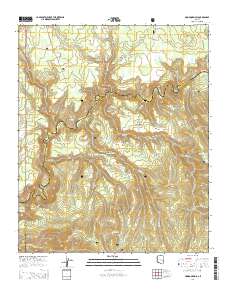
Layered GeoPDF 7.5 Minute Quadrangle Map. Layers of geospatial data include orthoimagery, roads, grids, geographic names, elevation contours, hydrography, and other selected map features.
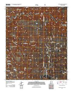
Layered GeoPDF 7.5 Minute Quadrangle Map. Layers of geospatial data include orthoimagery, roads, grids, geographic names, elevation contours, hydrography, and other selected map features.
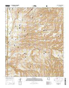
Layered GeoPDF 7.5 Minute Quadrangle Map. Layers of geospatial data include orthoimagery, roads, grids, geographic names, elevation contours, hydrography, and other selected map features.
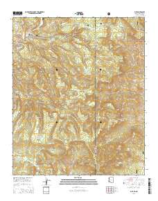
Layered GeoPDF 7.5 Minute Quadrangle Map. Layers of geospatial data include orthoimagery, roads, grids, geographic names, elevation contours, hydrography, and other selected map features.
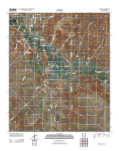
Layered GeoPDF 7.5 Minute Quadrangle Map. Layers of geospatial data include orthoimagery, roads, grids, geographic names, elevation contours, hydrography, and other selected map features.
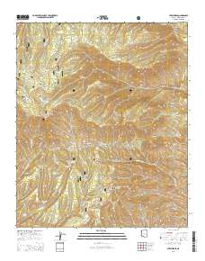
Layered GeoPDF 7.5 Minute Quadrangle Map. Layers of geospatial data include orthoimagery, roads, grids, geographic names, elevation contours, hydrography, and other selected map features.
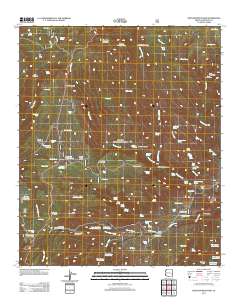
Layered GeoPDF 7.5 Minute Quadrangle Map. Layers of geospatial data include orthoimagery, roads, grids, geographic names, elevation contours, hydrography, and other selected map features.

The Geographic Names Information System (GNIS) is the Federal standard for geographic nomenclature. The U.S. Geological Survey developed the GNIS for the U.S. Board on Geographic Names, a Federal inter-agency body chartered by public law to maintain uniform feature name usage throughout the Government and to promulgate standard names to the public. The GNIS is the official repository of domestic geographic names data; the official vehicle for geographic names use by all departments of the Federal Government; and the source for applying geographic names to Federal electronic and printed products of all types.
The Geographic Names Information System (GNIS) is the Federal standard for geographic nomenclature. The U.S. Geological Survey developed the GNIS for the U.S. Board on Geographic Names, a Federal inter-agency body chartered by public law to maintain uniform feature name usage throughout the Government and to promulgate standard names to the public. The GNIS is the official repository of domestic geographic names data; the official vehicle for geographic names use by all departments of the Federal Government; and the source for applying geographic names to Federal electronic and printed products of all types.
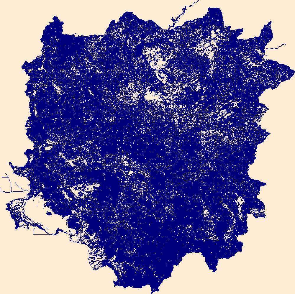
The National Hydrography Dataset (NHD) is a feature-based database that interconnects and uniquely identifies the stream segments or reaches that make up the nation's surface water drainage system. NHD data was originally developed at 1:100,000-scale and exists at that scale for the whole country. This high-resolution NHD, generally developed at 1:24,000/1:12,000 scale, adds detail to the original 1:100,000-scale NHD. (Data for Alaska, Puerto Rico and the Virgin Islands was developed at high-resolution, not 1:100,000 scale.) Local resolution NHD is being developed where partners and data exist. The NHD contains reach codes for networked features, flow direction, names, and centerline representations for areal water...
|

|
