Filters: Tags: Greenlee County (X)
221 results (135ms)|
Filters
|
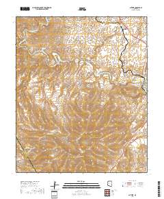
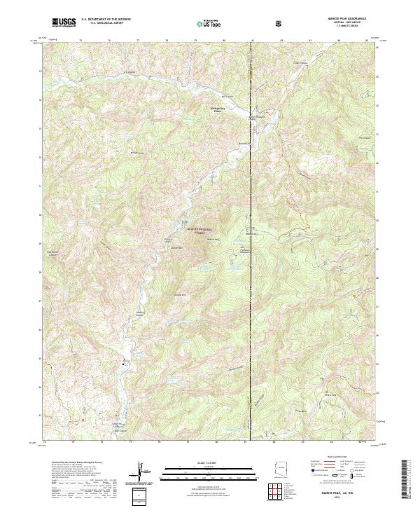
Layered geospatial PDF 7.5 Minute Quadrangle Map. Layers of geospatial data include orthoimagery, roads, grids, geographic names, elevation contours, hydrography, and other selected map features. This map is derived from GIS (geospatial information system) data. It represents a repackaging of GIS data in traditional map form, not creation of new information. The geospatial data in this map are from selected National Map data holdings and other government sources.

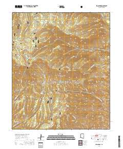
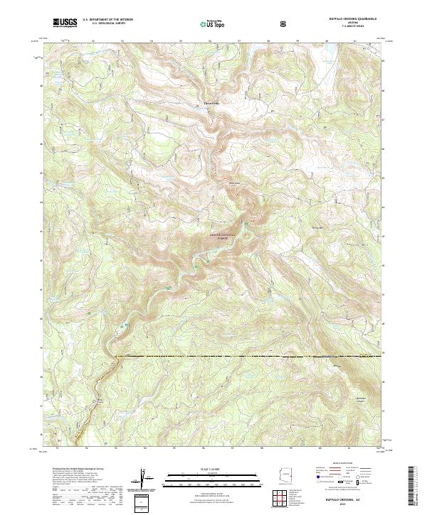
Layered geospatial PDF 7.5 Minute Quadrangle Map. Layers of geospatial data include orthoimagery, roads, grids, geographic names, elevation contours, hydrography, and other selected map features. This map is derived from GIS (geospatial information system) data. It represents a repackaging of GIS data in traditional map form, not creation of new information. The geospatial data in this map are from selected National Map data holdings and other government sources.
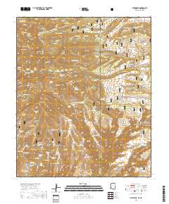
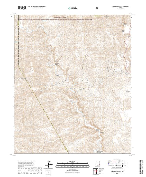
Layered geospatial PDF 7.5 Minute Quadrangle Map. Layers of geospatial data include orthoimagery, roads, grids, geographic names, elevation contours, hydrography, and other selected map features. This map is derived from GIS (geospatial information system) data. It represents a repackaging of GIS data in traditional map form, not creation of new information. The geospatial data in this map are from selected National Map data holdings and other government sources.
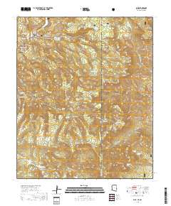
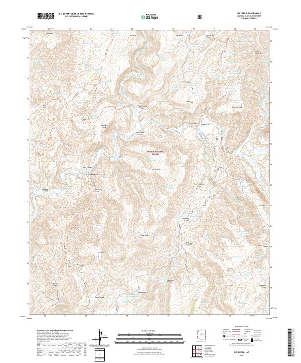
Layered geospatial PDF 7.5 Minute Quadrangle Map. Layers of geospatial data include orthoimagery, roads, grids, geographic names, elevation contours, hydrography, and other selected map features. This map is derived from GIS (geospatial information system) data. It represents a repackaging of GIS data in traditional map form, not creation of new information. The geospatial data in this map are from selected National Map data holdings and other government sources.
Layered geospatial PDF 7.5 Minute Quadrangle Map. Layers of geospatial data include orthoimagery, roads, grids, geographic names, elevation contours, hydrography, and other selected map features. This map is derived from GIS (geospatial information system) data. It represents a repackaging of GIS data in traditional map form, not creation of new information. The geospatial data in this map are from selected National Map data holdings and other government sources.
Layered geospatial PDF 7.5 Minute Quadrangle Map. Layers of geospatial data include orthoimagery, roads, grids, geographic names, elevation contours, hydrography, and other selected map features. This map is derived from GIS (geospatial information system) data. It represents a repackaging of GIS data in traditional map form, not creation of new information. The geospatial data in this map are from selected National Map data holdings and other government sources.
Layered geospatial PDF 7.5 Minute Quadrangle Map. Layers of geospatial data include orthoimagery, roads, grids, geographic names, elevation contours, hydrography, and other selected map features. This map is derived from GIS (geospatial information system) data. It represents a repackaging of GIS data in traditional map form, not creation of new information. The geospatial data in this map are from selected National Map data holdings and other government sources.
Layered geospatial PDF 7.5 Minute Quadrangle Map. Layers of geospatial data include orthoimagery, roads, grids, geographic names, elevation contours, hydrography, and other selected map features. This map is derived from GIS (geospatial information system) data. It represents a repackaging of GIS data in traditional map form, not creation of new information. The geospatial data in this map are from selected National Map data holdings and other government sources.
Layered geospatial PDF 7.5 Minute Quadrangle Map. Layers of geospatial data include orthoimagery, roads, grids, geographic names, elevation contours, hydrography, and other selected map features. This map is derived from GIS (geospatial information system) data. It represents a repackaging of GIS data in traditional map form, not creation of new information. The geospatial data in this map are from selected National Map data holdings and other government sources.
Heinrichs Geoexploration Co. Maps: Black Jack Anomoly, Magnetic Survey Line No. 7; 1 in. to 200 feet; 11 x 8 in.
ADMMR map collection: Sketch Map, Open Pit Mine and Plant Morenci, Arizona; 1 in. to 4000 feet; 9 x 11 in.
Categories: Data;
Tags: Abrasive, Garnet Andra,
Arizona,
Arizona Central,
Bon Ton,
Calcium, Limestone,
The 'Pinal Point Gold Prospect' file is part of the A. F. Budge Mining Ltd. Mining collection. A. F. Budge Mining Ltd., a British company owned by Tony Budge, controlled properties across several western U. S. states and northern Mexico. The company was active in Arizona during the 1980s and into the early 1990s. The collection consists of economic geologic information including maps, logs, reports and records. A few properties make up most of the collection: Vulture, United Verde Extension and Korn Kob.
Categories: Data;
Tags: 1980s,
Arizona,
Clifton - 15 Min,
Copper Mountain metallic mineral dist.,
Dataset,
ADMMR map collection: Level Maps and Sections, Luckie No. 2 Fluorspar Mine; 1 in. to 20 feet; 14 x 18 in.
ADMMR map collection: Luckie No. 1 Fluorspar Mine Level Map and Projections; 1 in. to 20 feet; 19 x 23 in.
The 'Ash Peak: Rehabilitation Plan' file is part of the A. F. Budge Mining Ltd. Mining collection. A. F. Budge Mining Ltd., a British company owned by Tony Budge, controlled properties across several western U. S. states and northern Mexico. The company was active in Arizona during the 1980s and into the early 1990s. The collection consists of economic geologic information including maps, logs, reports and records. A few properties make up most of the collection: Vulture, United Verde Extension and Korn Kob.
Categories: Data;
Tags: 1980s,
Arizona,
Arthur Murphy,
Ash Peak metallic mineral dist.,
Black Beauty,
ADMMR map collection: Daniel Camp Number 2 Fluorspar Claim Preliminary Geologic and Topographic Map; 1 in. to 100 feet; 24 x 19 in.
Categories: Data;
Tags: 1940s,
Arizona,
Arizona Eastern Fluorspar Corp,
Arizona Fluorspar,
Black Bird,
The 'Ash Peak: Ash Peak Economic Evaluation and Project Update' file is part of the A. F. Budge Mining Ltd. Mining collection. A. F. Budge Mining Ltd., a British company owned by Tony Budge, controlled properties across several western U. S. states and northern Mexico. The company was active in Arizona during the 1980s and into the early 1990s. The collection consists of economic geologic information including maps, logs, reports and records. A few properties make up most of the collection: Vulture, United Verde Extension and Korn Kob.
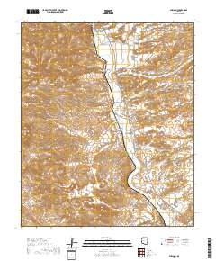
Layered geospatial PDF 7.5 Minute Quadrangle Map. Layers of geospatial data include orthoimagery, roads, grids, geographic names, elevation contours, hydrography, and other selected map features. This map is derived from GIS (geospatial information system) data. It represents a repackaging of GIS data in traditional map form, not creation of new information. The geospatial data in this map are from selected National Map data holdings and other government sources.
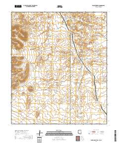
Layered geospatial PDF 7.5 Minute Quadrangle Map. Layers of geospatial data include orthoimagery, roads, grids, geographic names, elevation contours, hydrography, and other selected map features. This map is derived from GIS (geospatial information system) data. It represents a repackaging of GIS data in traditional map form, not creation of new information. The geospatial data in this map are from selected National Map data holdings and other government sources.
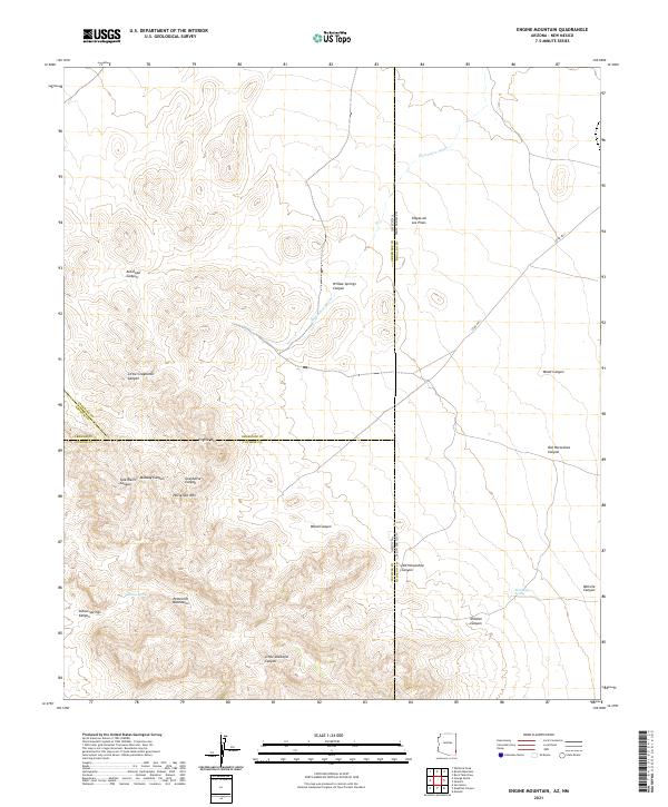
Layered geospatial PDF 7.5 Minute Quadrangle Map. Layers of geospatial data include orthoimagery, roads, grids, geographic names, elevation contours, hydrography, and other selected map features. This map is derived from GIS (geospatial information system) data. It represents a repackaging of GIS data in traditional map form, not creation of new information. The geospatial data in this map are from selected National Map data holdings and other government sources.
|

|
