Filters: Tags: Greenlee County (X)
221 results (54ms)|
Filters
|
Heinrichs Geoexploration Co. Maps: Essex-Morenci Claim Map; 1 in. to 400 feet; 25 x 26 in.
Heinrichs Geoexploration Co. Maps: Cuprite Prospect, Vertical Intensity Magnetic Map; 1 in. to 500 feet; 18 x 31 in.
A.F. Budge Mining Ltd. Maps: Essex-Morenci Section A2-A'2; 1 in. to 500 feet; 37 x 29 in.
Categories: Data;
Tags: 1970s,
Arizona,
Clifton - 15 Min,
Copper Mountain metallic mineral dist.,
Dataset,
Heinrichs Geoexploration Co. Maps: Cuprite Prospect Land Status; 1 in. to 480 feet; 21 x 29 in.
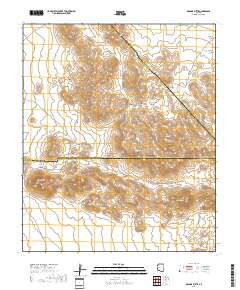
Layered geospatial PDF 7.5 Minute Quadrangle Map. Layers of geospatial data include orthoimagery, roads, grids, geographic names, elevation contours, hydrography, and other selected map features. This map is derived from GIS (geospatial information system) data. It represents a repackaging of GIS data in traditional map form, not creation of new information. The geospatial data in this map are from selected National Map data holdings and other government sources.
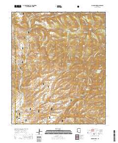
Layered geospatial PDF 7.5 Minute Quadrangle Map. Layers of geospatial data include orthoimagery, roads, grids, geographic names, elevation contours, hydrography, and other selected map features. This map is derived from GIS (geospatial information system) data. It represents a repackaging of GIS data in traditional map form, not creation of new information. The geospatial data in this map are from selected National Map data holdings and other government sources.
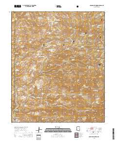
Layered geospatial PDF 7.5 Minute Quadrangle Map. Layers of geospatial data include orthoimagery, roads, grids, geographic names, elevation contours, hydrography, and other selected map features. This map is derived from GIS (geospatial information system) data. It represents a repackaging of GIS data in traditional map form, not creation of new information. The geospatial data in this map are from selected National Map data holdings and other government sources.
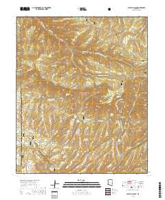
Layered geospatial PDF 7.5 Minute Quadrangle Map. Layers of geospatial data include orthoimagery, roads, grids, geographic names, elevation contours, hydrography, and other selected map features. This map is derived from GIS (geospatial information system) data. It represents a repackaging of GIS data in traditional map form, not creation of new information. The geospatial data in this map are from selected National Map data holdings and other government sources.
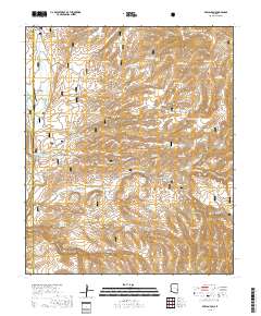
Layered geospatial PDF 7.5 Minute Quadrangle Map. Layers of geospatial data include orthoimagery, roads, grids, geographic names, elevation contours, hydrography, and other selected map features. This map is derived from GIS (geospatial information system) data. It represents a repackaging of GIS data in traditional map form, not creation of new information. The geospatial data in this map are from selected National Map data holdings and other government sources.
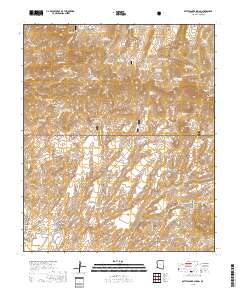
Layered geospatial PDF 7.5 Minute Quadrangle Map. Layers of geospatial data include orthoimagery, roads, grids, geographic names, elevation contours, hydrography, and other selected map features. This map is derived from GIS (geospatial information system) data. It represents a repackaging of GIS data in traditional map form, not creation of new information. The geospatial data in this map are from selected National Map data holdings and other government sources.
ADMMR map collection: Arrangement of Primary Hole in Bank - Morenci Mine; 11 x 8 in.
Categories: Data;
Tags: Abrasive, Garnet Andra,
Arizona,
Arizona Central,
Bon Ton,
Calcium, Limestone,
A.F. Budge Mining Ltd. Maps: Geologic Map of Cuprite Area; 1 in. to 2600 feet; 11 x 15 in.
Categories: Data;
Tags: Abrasive, Garnet Andra,
Arizona,
Arizona Central,
Bon Ton,
Calcium, Limestone,
Heinrichs Geoexploration Co. Maps: Cuprite Prospect, Topographic Map; 1 in. to 500 feet; 13 x 28 in.
Heinrichs Geoexploration Co. Maps: Cuprite Prospect, Gradient Array Location and Percent Frequency Effect Interpretation Plan; 1 in. to 500 feet; 19 x 31 in.
Heinrichs Geoexploration Co. Maps: Cuprite Prospect, Geochemical Sample Location Map; 1 in. to 500 feet; 17 x 31 in.
The 'Morenci Mining District, Dover Property' file is part of the Grover Heinrichs mining collection. Grover was the Vice President of Heinrichs GEOEXploration, located in Tucson, Arizona. The collection contains over 1,400 folders including economic geology reports, maps, photos, correspondence, drill logs and other related materials. The focus of much of the information is on the western United States, particularly Arizona, but the collection also includes files on mining activity throughout the United States, foreign countries, and 82 mineral commodities.
Categories: Data;
Tags: 1970s,
Arizona,
Clifton - 15 Min,
Copper Mountain metallic mineral dist.,
Copper Plate,
A.F. Budge Mining Ltd. Maps: Essex-Morenci Section C-C'; 1 in. to 500 feet; 37 x 15 in.
Categories: Data;
Tags: 1970s,
Arizona,
Clifton - 15 Min,
Copper Mountain metallic mineral dist.,
Dataset,
ADMMR map collection: Location of Morenci Mine Open-Pit Copper Mine; 11 x 9 in.
Categories: Data;
Tags: Abrasive, Garnet Andra,
Arizona,
Arizona Central,
Bon Ton,
Calcium, Limestone,
A.F. Budge Mining Ltd. Maps: Copper King Mountain-Colorado Gulch Area, Sheet No. 2 of 2; 1 in. to 400 feet; 23 x 26 in.
ADMMR map collection: Polly Anne Fluorspar Mine, Claim Map - 140 Acres; 1 in. to 500 feet; 11 x 8 in.
Categories: Data;
Tags: 1950s,
Arizona,
Daniels Camp Group,
Dataset,
Duncan area physiographic area,
|

|
