Filters: Tags: Guam (X)
1,329 results (55ms)|
Filters
Date Range
Extensions Types Contacts
Categories Tag Types
|

"USDA has purchased a Enterprise Premium license for this Orthoimagery dataset from DigitalGlobe, Inc. Any government, education, not-for-profit agency and public/individuals not engaged in using the "Product for Commercial Exploitation or Commercial Purposes" can use this licensed data. Use of this product for Commercial Purposes by a person/company/organization for a profit or fee is strictly prohibited. Please refer to the separately attached license from DigitalGlobe, Inc. for additional information. Digital orthoimagery combines the image characteristics of a digital image with the geometric qualities of a map. The primary dynamic digital orthophoto is a 60 centimeter ground resolution, image cast to the customer...

"The Island of Guam Government purchased a Enterprise Premium license for this Orthoimagery dataset from DigitalGlobe, Inc via Hokolele Imaging+Mapping, Waipahu, Hawaii. Any government, education, not-for-profit agency and public/individuals not engaged in using the "Product for Commercial Exploitation or Commercial Purposes" can use this licensed data. Use of this product for Commercial Purposes by a person/company/organization for a profit or fee is strictly prohibited. Please refer to the separately attached license from DigitalGlobe, Inc. for additional information. Digital orthoimagery combines the image characteristics of a digital image with the geometric qualities of a map. The primary dynamic digital orthophoto...

"USDA has purchased a Enterprise Premium license for this Orthoimagery dataset from DigitalGlobe, Inc. Any government, education, not-for-profit agency and public/individuals not engaged in using the "Product for Commercial Exploitation or Commercial Purposes" can use this licensed data. Use of this product for Commercial Purposes by a person/company/organization for a profit or fee is strictly prohibited. Please refer to the separately attached license from DigitalGlobe, Inc. for additional information. Digital orthoimagery combines the image characteristics of a digital image with the geometric qualities of a map. The primary dynamic digital orthophoto is a 60 centimeter ground resolution, image cast to the customer...

"USDA has purchased a Enterprise Premium license for this Orthoimagery dataset from DigitalGlobe, Inc. Any government, education, not-for-profit agency and public/individuals not engaged in using the "Product for Commercial Exploitation or Commercial Purposes" can use this licensed data. Use of this product for Commercial Purposes by a person/company/organization for a profit or fee is strictly prohibited. Please refer to the separately attached license from DigitalGlobe, Inc. for additional information. Digital orthoimagery combines the image characteristics of a digital image with the geometric qualities of a map. The primary dynamic digital orthophoto is a 60 centimeter ground resolution, image cast to the customer...

"USDA has purchased a Enterprise Premium license for this Orthoimagery dataset from DigitalGlobe, Inc. Any government, education, not-for-profit agency and public/individuals not engaged in using the "Product for Commercial Exploitation or Commercial Purposes" can use this licensed data. Use of this product for Commercial Purposes by a person/company/organization for a profit or fee is strictly prohibited. Please refer to the separately attached license from DigitalGlobe, Inc. for additional information. Digital orthoimagery combines the image characteristics of a digital image with the geometric qualities of a map. The primary dynamic digital orthophoto is a 60 centimeter ground resolution, image cast to the customer...

"USDA has purchased a Enterprise Premium license for this Orthoimagery dataset from DigitalGlobe, Inc. Any government, education, not-for-profit agency and public/individuals not engaged in using the "Product for Commercial Exploitation or Commercial Purposes" can use this licensed data. Use of this product for Commercial Purposes by a person/company/organization for a profit or fee is strictly prohibited. Please refer to the separately attached license from DigitalGlobe, Inc. for additional information. Digital orthoimagery combines the image characteristics of a digital image with the geometric qualities of a map. The primary dynamic digital orthophoto is a 60 centimeter ground resolution, image cast to the customer...

"USDA has purchased a Enterprise Premium license for this Orthoimagery dataset from DigitalGlobe, Inc. Any government, education, not-for-profit agency and public/individuals not engaged in using the "Product for Commercial Exploitation or Commercial Purposes" can use this licensed data. Use of this product for Commercial Purposes by a person/company/organization for a profit or fee is strictly prohibited. Please refer to the separately attached license from DigitalGlobe, Inc. for additional information. Digital orthoimagery combines the image characteristics of a digital image with the geometric qualities of a map. The primary dynamic digital orthophoto is a 60 centimeter ground resolution, image cast to the customer...

"USDA has purchased a Enterprise Premium license for this Orthoimagery dataset from DigitalGlobe, Inc. Any government, education, not-for-profit agency and public/individuals not engaged in using the "Product for Commercial Exploitation or Commercial Purposes" can use this licensed data. Use of this product for Commercial Purposes by a person/company/organization for a profit or fee is strictly prohibited. Please refer to the separately attached license from DigitalGlobe, Inc. for additional information. Digital orthoimagery combines the image characteristics of a digital image with the geometric qualities of a map. The primary dynamic digital orthophoto is a 60 centimeter ground resolution, image cast to the customer...

"The Island of Guam Government purchased a Enterprise Premium license for this Orthoimagery dataset from DigitalGlobe, Inc via Hokolele Imaging+Mapping, Waipahu, Hawaii. Any government, education, not-for-profit agency and public/individuals not engaged in using the "Product for Commercial Exploitation or Commercial Purposes" can use this licensed data. Use of this product for Commercial Purposes by a person/company/organization for a profit or fee is strictly prohibited. Please refer to the separately attached license from DigitalGlobe, Inc. for additional information. Digital orthoimagery combines the image characteristics of a digital image with the geometric qualities of a map. The primary dynamic digital orthophoto...

"USDA has purchased a Enterprise Premium license for this Orthoimagery dataset from DigitalGlobe, Inc. Any government, education, not-for-profit agency and public/individuals not engaged in using the "Product for Commercial Exploitation or Commercial Purposes" can use this licensed data. Use of this product for Commercial Purposes by a person/company/organization for a profit or fee is strictly prohibited. Please refer to the separately attached license from DigitalGlobe, Inc. for additional information. Digital orthoimagery combines the image characteristics of a digital image with the geometric qualities of a map. The primary dynamic digital orthophoto is a 60 centimeter ground resolution, image cast to the customer...

"The Island of Guam Government purchased a Enterprise Premium license for this Orthoimagery dataset from DigitalGlobe, Inc via Hokolele Imaging+Mapping, Waipahu, Hawaii. Any government, education, not-for-profit agency and public/individuals not engaged in using the "Product for Commercial Exploitation or Commercial Purposes" can use this licensed data. Use of this product for Commercial Purposes by a person/company/organization for a profit or fee is strictly prohibited. Please refer to the separately attached license from DigitalGlobe, Inc. for additional information. Digital orthoimagery combines the image characteristics of a digital image with the geometric qualities of a map. The primary dynamic digital orthophoto...

"The Island of Guam Government purchased a Enterprise Premium license for this Orthoimagery dataset from DigitalGlobe, Inc via Hokolele Imaging+Mapping, Waipahu, Hawaii. Any government, education, not-for-profit agency and public/individuals not engaged in using the "Product for Commercial Exploitation or Commercial Purposes" can use this licensed data. Use of this product for Commercial Purposes by a person/company/organization for a profit or fee is strictly prohibited. Please refer to the separately attached license from DigitalGlobe, Inc. for additional information. Digital orthoimagery combines the image characteristics of a digital image with the geometric qualities of a map. The primary dynamic digital orthophoto...

"USDA has purchased a Enterprise Premium license for this Orthoimagery dataset from DigitalGlobe, Inc. Any government, education, not-for-profit agency and public/individuals not engaged in using the "Product for Commercial Exploitation or Commercial Purposes" can use this licensed data. Use of this product for Commercial Purposes by a person/company/organization for a profit or fee is strictly prohibited. Please refer to the separately attached license from DigitalGlobe, Inc. for additional information. Digital orthoimagery combines the image characteristics of a digital image with the geometric qualities of a map. The primary dynamic digital orthophoto is a 60 centimeter ground resolution, image cast to the customer...

"The Island of Guam Government purchased a Enterprise Premium license for this Orthoimagery dataset from DigitalGlobe, Inc via Hokolele Imaging+Mapping, Waipahu, Hawaii. Any government, education, not-for-profit agency and public/individuals not engaged in using the "Product for Commercial Exploitation or Commercial Purposes" can use this licensed data. Use of this product for Commercial Purposes by a person/company/organization for a profit or fee is strictly prohibited. Please refer to the separately attached license from DigitalGlobe, Inc. for additional information. Digital orthoimagery combines the image characteristics of a digital image with the geometric qualities of a map. The primary dynamic digital orthophoto...

"USDA has purchased a Enterprise Premium license for this Orthoimagery dataset from DigitalGlobe, Inc. Any government, education, not-for-profit agency and public/individuals not engaged in using the "Product for Commercial Exploitation or Commercial Purposes" can use this licensed data. Use of this product for Commercial Purposes by a person/company/organization for a profit or fee is strictly prohibited. Please refer to the separately attached license from DigitalGlobe, Inc. for additional information. Digital orthoimagery combines the image characteristics of a digital image with the geometric qualities of a map. The primary dynamic digital orthophoto is a 60 centimeter ground resolution, image cast to the customer...
Near-surface site characteristics are critical for accurately modeling ground motion, which in turn influences seismic hazard analysis and design of critical infrastructure. Currently, there are many strong motion accelerometers within the Advanced National Seismic System (ANSS) that are missing this information. We use a Geographic Information Systems (GIS) based framework to intersect the site coordinates of approximately 5,500 ANSS accelerometers located throughout the United States and its territories with geology and velocity information. We consider: (1) surficial geology from digitized geologic maps (Horton, 2017; Wilson et al., 2015; Sherrod et al., 2007; Bawiec, 1999; Saucedo, 2005; Bedrossian et al., 2012;...
Categories: Data;
Types: Map Service,
OGC WFS Layer,
OGC WMS Layer,
OGC WMS Service;
Tags: ANSS,
Alabama,
American Samoa,
Arizona,
Arkansas,
This data represents the map extent for current and historical USGS topographic maps for the United States and Territories, including 1 X 2 Degree, 1 X 1 Degree, 30 X 60 Minute, 15 X 15 Minute, 7.5 X 7.5 Minute, and 3.75 X 3.75 Minute. The grid was generated using ESRI ArcInfo GIS software.
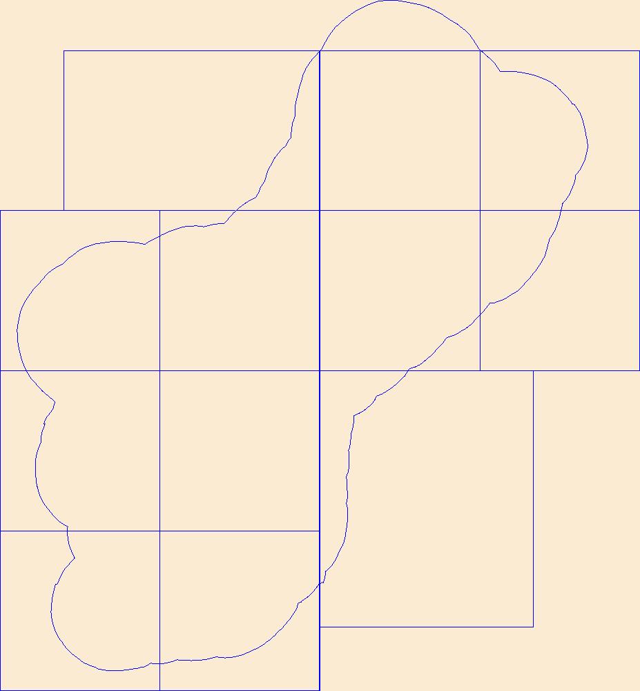
The hydrologic response units (HRUs) available here were used in the Precipitation Runoff Modeling System (PRMS) of southern Guam documented by Rosa and Hay (2017). A Geographic Information System (GIS) file for the HRUs is provided as a shapefile with attributes ParentHRU, Region, and RegionHRU identifying the numbering convention used in the PRMS_2016 southern Guam model parameter files and Rosa and Hay (2017) report. Hydrologic response units (HRUs) were delineating using the processing steps outlined in Viger and Leavesley (2007) and a 5-meter digital elevation model (DEM) derived by Johnson (2012) using the Joint Airborne LIDAR Bathymetry Technical Center of Expertise topobathy data (National Oceanic and Atmospheric...
Categories: Data;
Types: Downloadable,
Map Service,
OGC WFS Layer,
OGC WMS Layer,
Shapefile;
Tags: Guam,
hydrology,
mathematical modeling
|

|
