Filters: Tags: HI (X)
3,052 results (27ms)|
Filters
Date Range
Types (Less) Contacts (Less)
Categories (Less) Tag Types Tag Schemes
|

"USDA has purchased a Enterprise Premium license for this Orthoimagery dataset from DigitalGlobe, Inc. Any government, education, not-for-profit agency and public/individuals not engaged in using the "Product for Commercial Exploitation or Commercial Purposes" can use this licensed data. Use of this product for Commercial Purposes by a person/company/organization for a profit or fee is strictly prohibited. Please refer to the separately attached license from DigitalGlobe, Inc. for additional information. Digital orthoimagery combines the image characteristics of a digital image with the geometric qualities of a map. The primary dynamic digital orthophoto is a 60 centimeter ground resolution, image cast to the customer...

"USDA has purchased a Enterprise Premium license for this Orthoimagery dataset from DigitalGlobe, Inc. Any government, education, not-for-profit agency and public/individuals not engaged in using the "Product for Commercial Exploitation or Commercial Purposes" can use this licensed data. Use of this product for Commercial Purposes by a person/company/organization for a profit or fee is strictly prohibited. Please refer to the separately attached license from DigitalGlobe, Inc. for additional information. Digital orthoimagery combines the image characteristics of a digital image with the geometric qualities of a map. The primary dynamic digital orthophoto is a 60 centimeter ground resolution, image cast to the customer...

"USDA has purchased a Enterprise Premium license for this Orthoimagery dataset from DigitalGlobe, Inc. Any government, education, not-for-profit agency and public/individuals not engaged in using the "Product for Commercial Exploitation or Commercial Purposes" can use this licensed data. Use of this product for Commercial Purposes by a person/company/organization for a profit or fee is strictly prohibited. Please refer to the separately attached license from DigitalGlobe, Inc. for additional information. Digital orthoimagery combines the image characteristics of a digital image with the geometric qualities of a map. The primary dynamic digital orthophoto is a 60 centimeter ground resolution, image cast to the customer...
USGS Topo Map Vector Data (Vector) 49729 Wood Valley, Hawaii 20180208 for 7.5 x 7.5 minute Shapefile
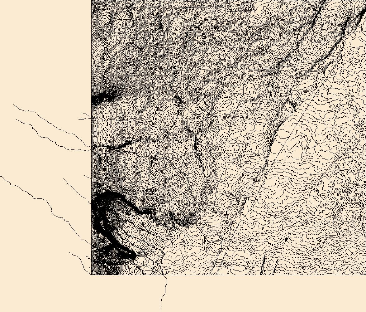
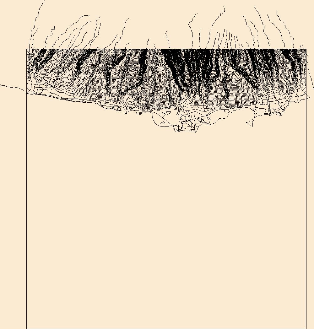
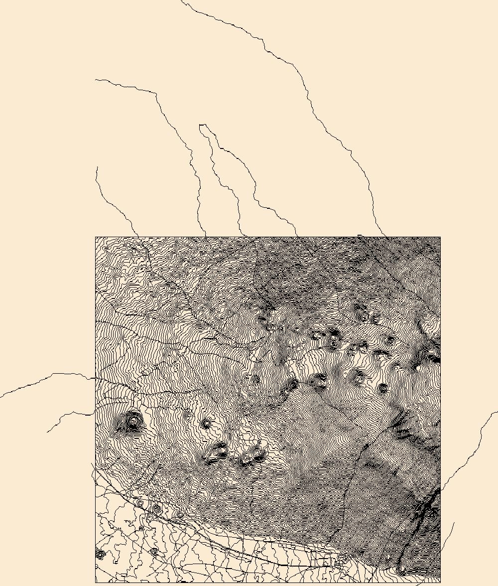
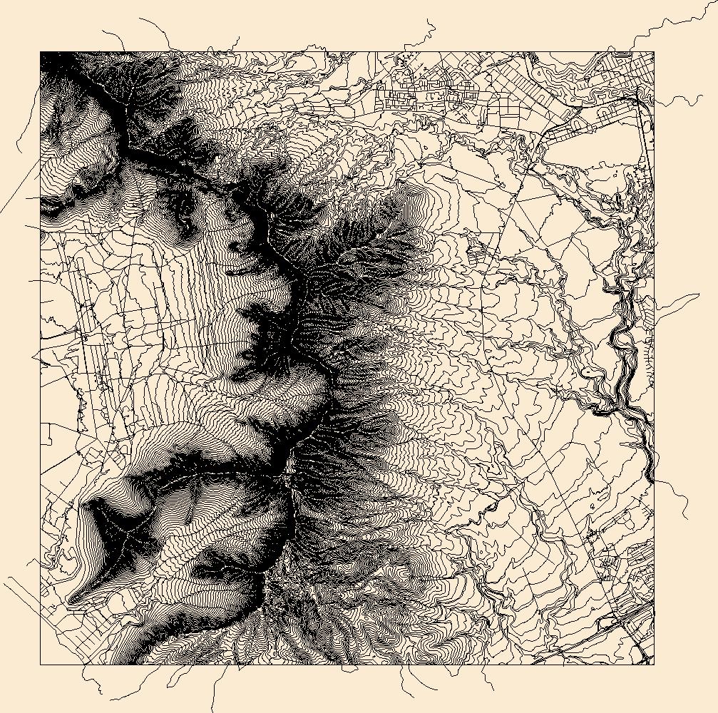
Layers of geospatial data include contours, boundaries, land cover, hydrography, roads, transportation, geographic names, structures, and other selected map features.
Layers of geospatial data include contours, boundaries, land cover, hydrography, roads, transportation, geographic names, structures, and other selected map features.

"USDA has purchased a Enterprise Premium license for this Orthoimagery dataset from DigitalGlobe, Inc. Any government, education, not-for-profit agency and public/individuals not engaged in using the "Product for Commercial Exploitation or Commercial Purposes" can use this licensed data. Use of this product for Commercial Purposes by a person/company/organization for a profit or fee is strictly prohibited. Please refer to the separately attached license from DigitalGlobe, Inc. for additional information. Digital orthoimagery combines the image characteristics of a digital image with the geometric qualities of a map. The primary dynamic digital orthophoto is a 60 centimeter ground resolution, image cast to the customer...

"USDA has purchased a Enterprise Premium license for this Orthoimagery dataset from DigitalGlobe, Inc. Any government, education, not-for-profit agency and public/individuals not engaged in using the "Product for Commercial Exploitation or Commercial Purposes" can use this licensed data. Use of this product for Commercial Purposes by a person/company/organization for a profit or fee is strictly prohibited. Please refer to the separately attached license from DigitalGlobe, Inc. for additional information. Digital orthoimagery combines the image characteristics of a digital image with the geometric qualities of a map. The primary dynamic digital orthophoto is a 60 centimeter ground resolution, image cast to the customer...

"USDA has purchased a Enterprise Premium license for this Orthoimagery dataset from DigitalGlobe, Inc. Any government, education, not-for-profit agency and public/individuals not engaged in using the "Product for Commercial Exploitation or Commercial Purposes" can use this licensed data. Use of this product for Commercial Purposes by a person/company/organization for a profit or fee is strictly prohibited. Please refer to the separately attached license from DigitalGlobe, Inc. for additional information. Digital orthoimagery combines the image characteristics of a digital image with the geometric qualities of a map. The primary dynamic digital orthophoto is a 50 centimeter ground resolution, image cast to the customer...

"USDA has purchased a Enterprise Premium license for this Orthoimagery dataset from DigitalGlobe, Inc. Any government, education, not-for-profit agency and public/individuals not engaged in using the "Product for Commercial Exploitation or Commercial Purposes" can use this licensed data. Use of this product for Commercial Purposes by a person/company/organization for a profit or fee is strictly prohibited. Please refer to the separately attached license from DigitalGlobe, Inc. for additional information. Digital orthoimagery combines the image characteristics of a digital image with the geometric qualities of a map. The primary dynamic digital orthophoto is a 60 centimeter ground resolution, image cast to the customer...

"USDA has purchased a Enterprise Premium license for this Orthoimagery dataset from DigitalGlobe, Inc. Any government, education, not-for-profit agency and public/individuals not engaged in using the "Product for Commercial Exploitation or Commercial Purposes" can use this licensed data. Use of this product for Commercial Purposes by a person/company/organization for a profit or fee is strictly prohibited. Please refer to the separately attached license from DigitalGlobe, Inc. for additional information. Digital orthoimagery combines the image characteristics of a digital image with the geometric qualities of a map. The primary dynamic digital orthophoto is a 60 centimeter ground resolution, image cast to the customer...
Layers of geospatial data include contours, boundaries, land cover, hydrography, roads, transportation, geographic names, structures, and other selected map features.

Layers of geospatial data include contours, boundaries, land cover, hydrography, roads, transportation, geographic names, structures, and other selected map features.

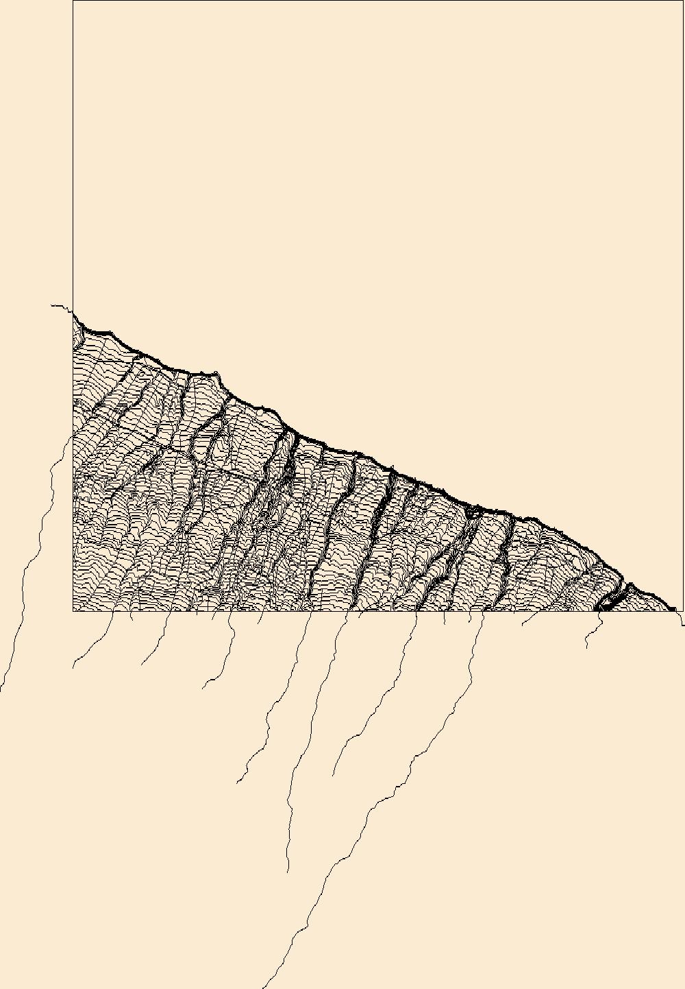
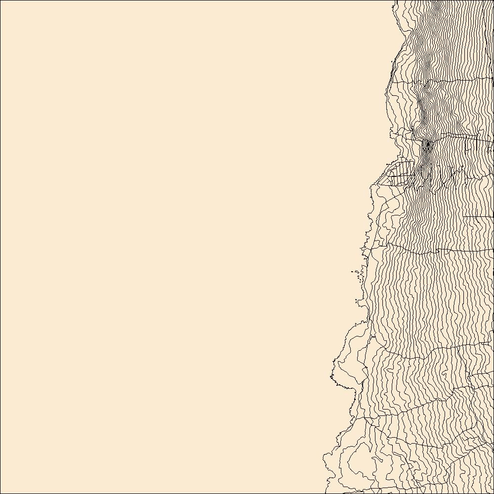
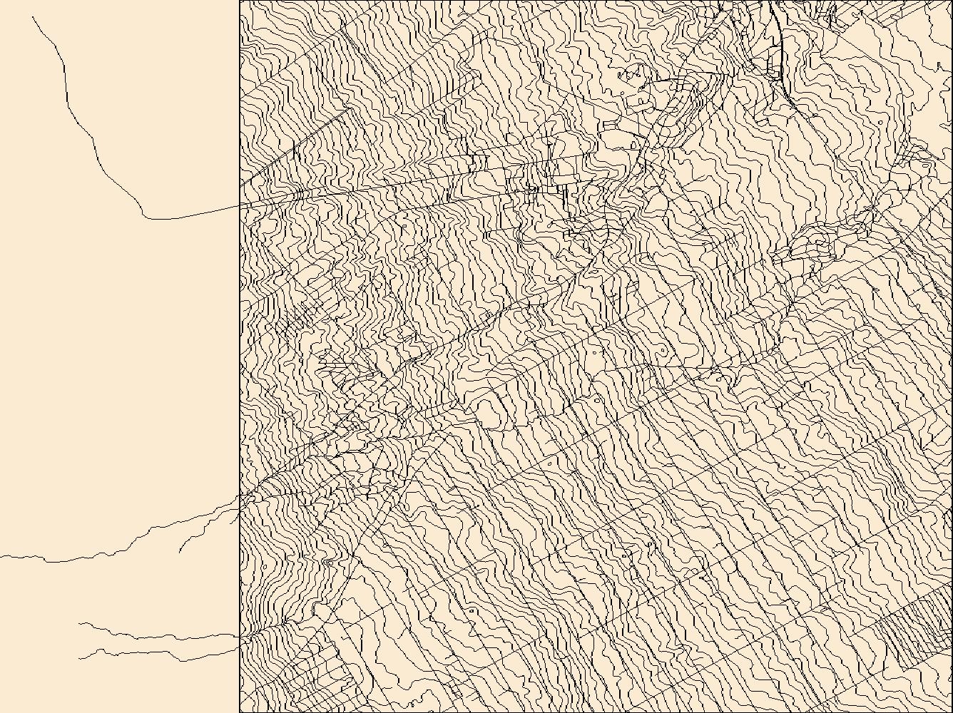
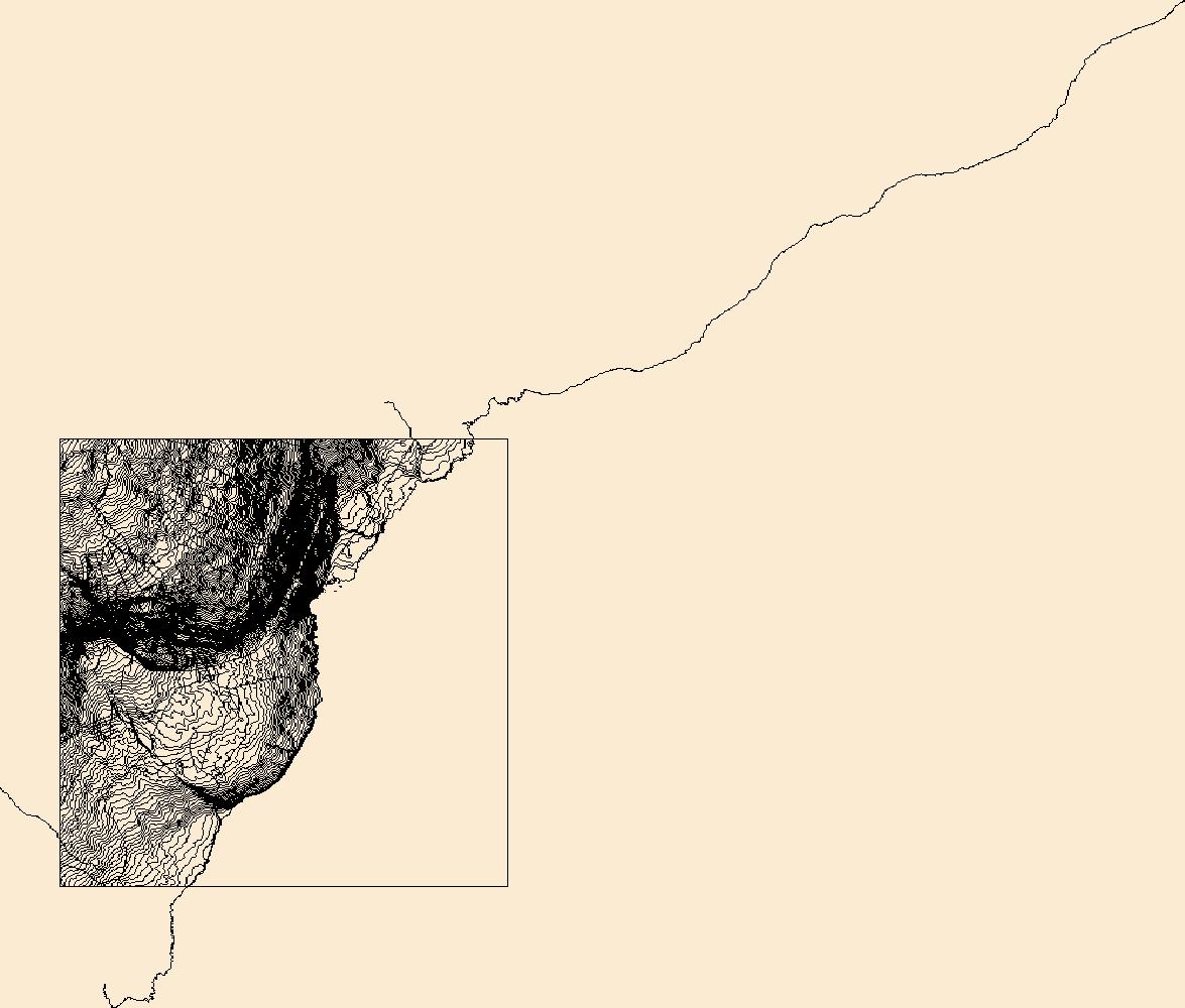
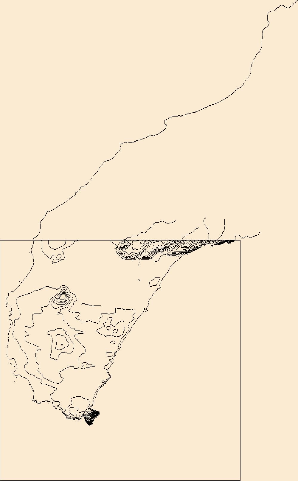
These vector contour lines are derived from the 3D Elevation Program using automated and semi-automated processes. They were created to support 1:24,000-scale topographic map products, but are also published in this GIS vector format. Contour intervals are assigned by 7.5-minute quadrangle, so this vector dataset is not visually seamless across quadrangle boundaries. The vector lines have elevation attributes (in feet above mean sea level on NAVD88), but this dataset does not carry line symbols or annotation.
Layers of geospatial data include contours, boundaries, land cover, hydrography, roads, transportation, geographic names, structures, and other selected map features.
Layers of geospatial data include contours, boundaries, land cover, hydrography, roads, transportation, geographic names, structures, and other selected map features.
Layers of geospatial data include contours, boundaries, land cover, hydrography, roads, transportation, geographic names, structures, and other selected map features.

Layers of geospatial data include contours, boundaries, land cover, hydrography, roads, transportation, geographic names, structures, and other selected map features.
Layers of geospatial data include contours, boundaries, land cover, hydrography, roads, transportation, geographic names, structures, and other selected map features.
Layers of geospatial data include contours, boundaries, land cover, hydrography, roads, transportation, geographic names, structures, and other selected map features.
Layers of geospatial data include contours, boundaries, land cover, hydrography, roads, transportation, geographic names, structures, and other selected map features.
|

|
