Filters: Tags: Harris County (X)
302 results (53ms)|
Filters
Date Range
Extensions Types Contacts
Categories Tag Types
|
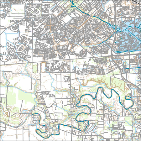
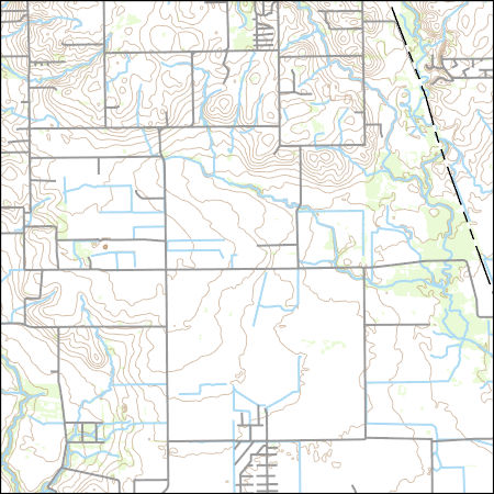
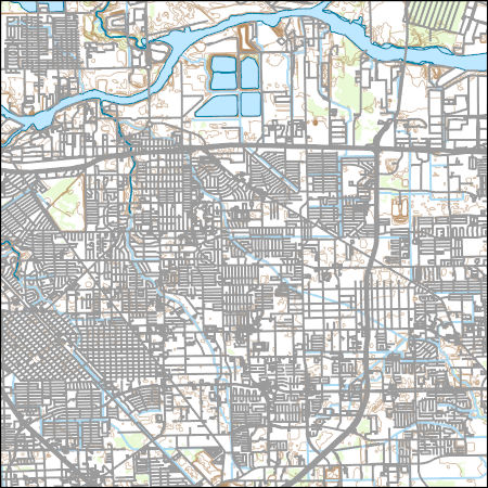
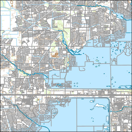
Layers of geospatial data include contours, boundaries, land cover, hydrography, roads, transportation, geographic names, structures, and other selected map features.
Types: Citation;
Tags: 7.5 x 7.5 minute,
7_5_Min,
Combined Vector,
Combined Vector,
Combined Vector,
Layers of geospatial data include contours, boundaries, land cover, hydrography, roads, transportation, geographic names, structures, and other selected map features.
Types: Citation;
Tags: 7.5 x 7.5 minute,
7_5_Min,
Combined Vector,
Combined Vector,
Combined Vector,
Layers of geospatial data include contours, boundaries, land cover, hydrography, roads, transportation, geographic names, structures, and other selected map features.
Layers of geospatial data include contours, boundaries, land cover, hydrography, roads, transportation, geographic names, structures, and other selected map features.
Layers of geospatial data include contours, boundaries, land cover, hydrography, roads, transportation, geographic names, structures, and other selected map features.

Layers of geospatial data include contours, boundaries, land cover, hydrography, roads, transportation, geographic names, structures, and other selected map features.
Types: Citation;
Tags: 7.5 x 7.5 minute,
7_5_Min,
Combined Vector,
Combined Vector,
Combined Vector,
In September 2022, the U.S. Geological Survey, in cooperation with the U.S. Environmental Protection Agency, collected groundwater-level elevation data and water-quality samples from monitoring wells at the Many Diversified Interests, Inc. Superfund Site in Houston, Texas to evaluate the status of groundwater contamination at this previously remediated site. The dataset includes groundwater-level elevations and field properties measured at 12 monitoring wells along with data from environmental and quality assurance and quality control water-quality samples collected at each well. Water-quality samples were analyzed for arsenic, manganese, molybdenum, benzo(a)pyrene, and petroleum hydrocarbons.
Types: Map Service,
OGC WFS Layer,
OGC WMS Layer,
OGC WMS Service;
Tags: Environmental Protection Agency,
Harris County,
Houston,
Superfund,
Texas,
Layers of geospatial data include contours, boundaries, land cover, hydrography, roads, transportation, geographic names, structures, and other selected map features.
Hurricane Harvey made landfall near Rockport, Texas on August 25 as a category 4 hurricane with wind gusts exceeding 150 miles per hour. As Harvey moved inland the forward motion of the storm slowed down and produced tremendous rainfall amounts to southeastern Texas and southwestern Louisiana. Historic flooding occurred in Texas and Louisiana as a result of the widespread, heavy rainfall over an 8-day period in Louisiana in August and September 2017. Following the storm event, U.S. Geological Survey (USGS) hydrographers recovered and documented 2,123 high-water marks in Texas, noting location and height of the water above land surface. Many of these high-water marks were used to create flood-inundation maps for...
Types: Map Service,
OGC WFS Layer,
OGC WMS Layer,
OGC WMS Service;
Tags: Caney,
Caney Creek,
Coldspring,
Conroe,
Cypress,
Layers of geospatial data include contours, boundaries, land cover, hydrography, roads, transportation, geographic names, structures, and other selected map features.
Layers of geospatial data include contours, boundaries, land cover, hydrography, roads, transportation, geographic names, structures, and other selected map features.
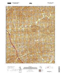
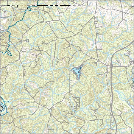
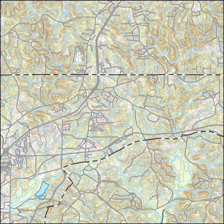
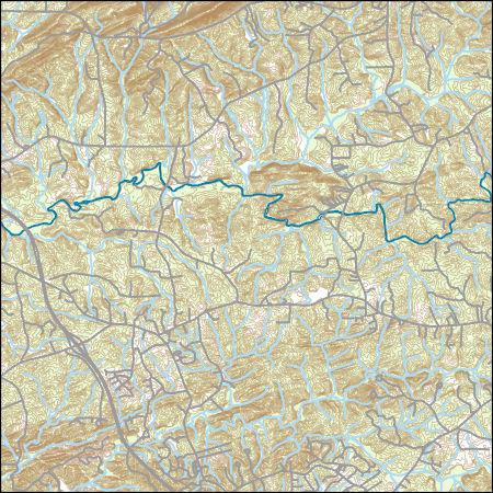
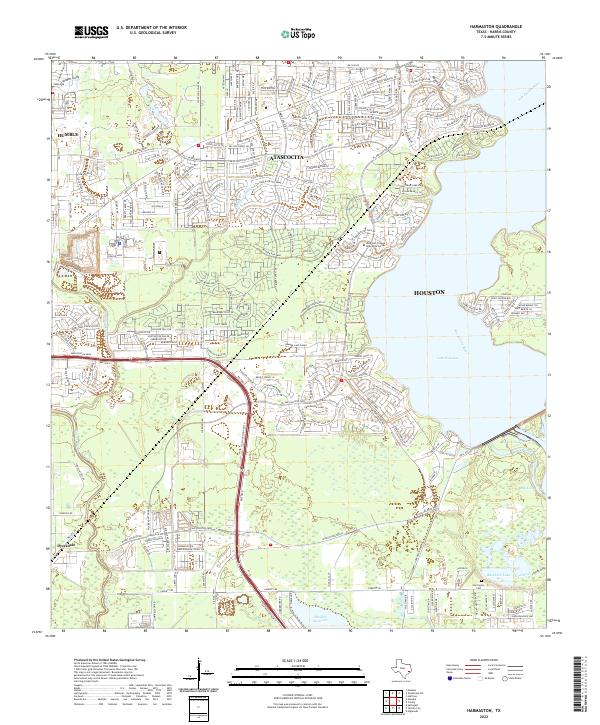
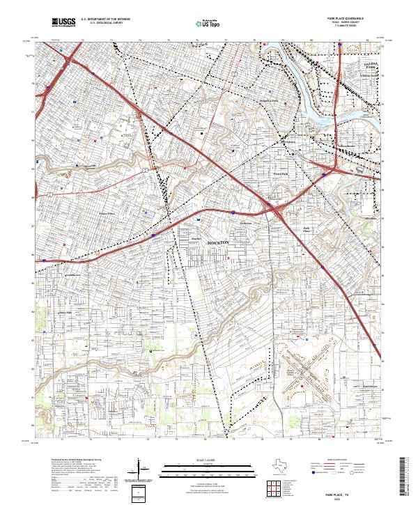
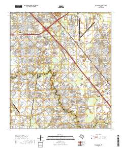
Layered geospatial PDF 7.5 Minute Quadrangle Map. Layers of geospatial data include orthoimagery, roads, grids, geographic names, elevation contours, hydrography, and other selected map features. This map is derived from GIS (geospatial information system) data. It represents a repackaging of GIS data in traditional map form, not creation of new information. The geospatial data in this map are from selected National Map data holdings and other government sources.
Layered geospatial PDF 7.5 Minute Quadrangle Map. Layers of geospatial data include orthoimagery, roads, grids, geographic names, elevation contours, hydrography, and other selected map features. This map is derived from GIS (geospatial information system) data. It represents a repackaging of GIS data in traditional map form, not creation of new information. The geospatial data in this map are from selected National Map data holdings and other government sources.
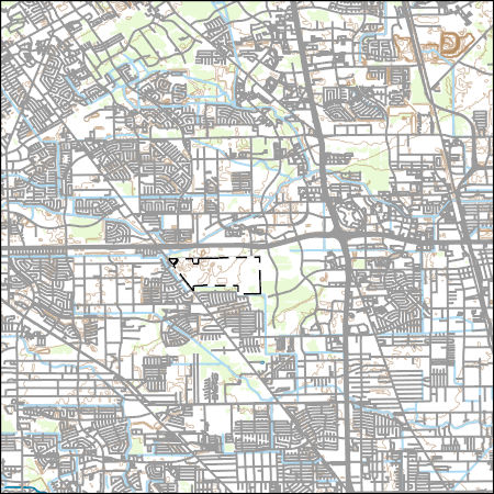
The Geneva Industries/Fuhrmann Energy Superfund Site in southeastern Houston, Texas was historically used as a site for petroleum exploration and petrochemical production and is currently (2023) inactive. Previous remedies to clean up the contaminated site included: excavation and off-site disposal of polychlorinated biphenyl-contaminated soils, capping of residual water on-site with a perimeter slurry wall, the recovery and treatment of trichloroethylene-contaminated groundwater, and institutional controls (Environmental Protection Agency, 2019). A conceptual site model (CSM) does not yet exist and is needed to (1) understand how site conditions have changed since earlier investigations; (2) reevaluate site contaminants...
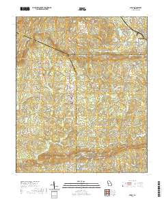
Layered geospatial PDF 7.5 Minute Quadrangle Map. Layers of geospatial data include orthoimagery, roads, grids, geographic names, elevation contours, hydrography, and other selected map features. This map is derived from GIS (geospatial information system) data. It represents a repackaging of GIS data in traditional map form, not creation of new information. The geospatial data in this map are from selected National Map data holdings and other government sources.
Layered geospatial PDF 7.5 Minute Quadrangle Map. Layers of geospatial data include orthoimagery, roads, grids, geographic names, elevation contours, hydrography, and other selected map features. This map is derived from GIS (geospatial information system) data. It represents a repackaging of GIS data in traditional map form, not creation of new information. The geospatial data in this map are from selected National Map data holdings and other government sources.
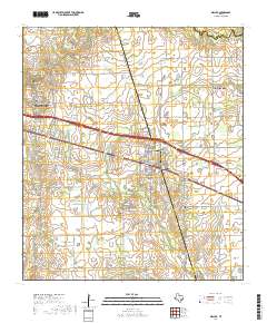
Layered geospatial PDF 7.5 Minute Quadrangle Map. Layers of geospatial data include orthoimagery, roads, grids, geographic names, elevation contours, hydrography, and other selected map features. This map is derived from GIS (geospatial information system) data. It represents a repackaging of GIS data in traditional map form, not creation of new information. The geospatial data in this map are from selected National Map data holdings and other government sources.
Layered geospatial PDF 7.5 Minute Quadrangle Map. Layers of geospatial data include orthoimagery, roads, grids, geographic names, elevation contours, hydrography, and other selected map features. This map is derived from GIS (geospatial information system) data. It represents a repackaging of GIS data in traditional map form, not creation of new information. The geospatial data in this map are from selected National Map data holdings and other government sources.
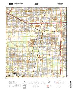
Layered geospatial PDF 7.5 Minute Quadrangle Map. Layers of geospatial data include orthoimagery, roads, grids, geographic names, elevation contours, hydrography, and other selected map features. This map is derived from GIS (geospatial information system) data. It represents a repackaging of GIS data in traditional map form, not creation of new information. The geospatial data in this map are from selected National Map data holdings and other government sources.

Layered geospatial PDF 7.5 Minute Quadrangle Map. Layers of geospatial data include orthoimagery, roads, grids, geographic names, elevation contours, hydrography, and other selected map features. This map is derived from GIS (geospatial information system) data. It represents a repackaging of GIS data in traditional map form, not creation of new information. The geospatial data in this map are from selected National Map data holdings and other government sources.
|

|
