Filters: Tags: Hydrologic Units (X) > Types: Citation (X)
6 results (19ms)|
Filters
Date Range
Extensions Types
Contacts
Categories Tag Types Tag Schemes
|
This layer represents the number of Tier 1 fish species known to occur in each HUC10 watershed in the state, according to data available in CPW’s fish database as of December 2014. There are 25 fish species on the Tier 1 SGCN list; a maximum of eight different species occur in the same watershed. This map is an indicator of species richness only; it does not consider relative habitat quality, or population metrics such as density or abundance, across watersheds.
Categories: Data;
Types: Citation,
Downloadable,
Map Service,
OGC WFS Layer,
OGC WMS Layer,
Shapefile;
Tags: Basin,
HUC,
HUC12,
Hydrologic Unit Code,
Hydrologic Units,

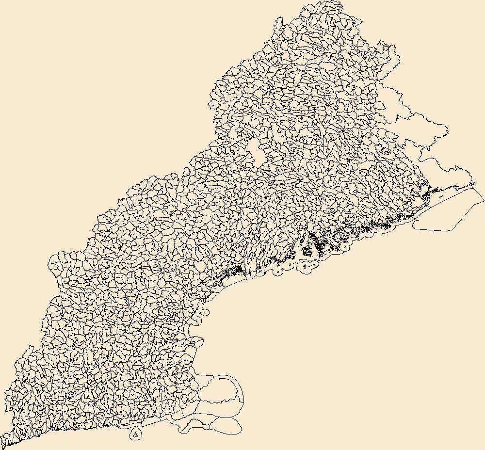
The National Hydrography Dataset (NHD) is a feature-based database that interconnects and uniquely identifies the stream segments or reaches that make up the nation's surface water drainage system. NHD data was originally developed at 1:100,000-scale and exists at that scale for the whole country. This high-resolution NHD, generally developed at 1:24,000/1:12,000 scale, adds detail to the original 1:100,000-scale NHD. (Data for Alaska, Puerto Rico and the Virgin Islands was developed at high-resolution, not 1:100,000 scale.) Local resolution NHD is being developed where partners and data exist. The NHD contains reach codes for networked features, flow direction, names, and centerline representations for areal water...
Categories: Data;
Types: Citation;
Tags: Administrative watershed units,
Area of Complex Channels,
Area to be submerged,
Basin,
Bay/Inlet,
The Watershed Boundary Dataset (WBD) is a comprehensive aggregated collection of hydrologic unit data consistent with the national criteria for delineation and resolution. It defines the areal extent of surface water drainage to a point except in coastal or lake front areas where there could be multiple outlets as stated by the "Federal Standards and Procedures for the National Watershed Boundary Dataset (WBD)" "Standard" (https://pubs.usgs.gov/tm/11/a3/). Watershed boundaries are determined solely upon science-based hydrologic principles, not favoring any administrative boundaries or special projects, nor particular program or agency. This dataset represents the hydrologic unit boundaries to the 12-digit (6th level)...

The Watershed Boundary Dataset (WBD) from The National Map (TNM) defines the perimeter of drainage areas formed by the terrain and other landscape characteristics. The drainage areas are nested within each other so that a large drainage area, such as the Upper Mississippi River, will be composed of multiple smaller drainage areas, such as the Wisconsin River. Each of these smaller areas can further be subdivided into smaller and smaller drainage areas. The WBD uses six different levels in this hierarchy, with the smallest averaging about 30,000 acres. The WBD is made up of polygons nested into six levels of data respectively defined by Regions, Subregions, Basins, Subbasins, Watersheds, and Subwatersheds. For additional...
Types: Citation;
Tags: Administrative watershed units,
Administrative watershed units,
Basin,
Basin,
Boundaries,
This file contains the boundary for the Lahontan cutthroat trout (LCT) Geographic Management Units (GMU). The USDA Watershed boundary dataset was used to delineate the GMU boundary.
Aquatic Ecological Focus Areas were based on The Nature Conservancy’s priority streams and by the Special Aquatic Life Use streams defined by the Kansas Department of Health and Environment, with some exclusions based on expert opinion. The selected streams were buffered by 100 m; 12-digit HUCs that intersect the buffers comprise the EFAs.
Categories: Data;
Types: Citation,
Downloadable,
Map Service,
OGC WFS Layer,
OGC WMS Layer,
Shapefile;
Tags: Basin,
HUC,
Hydrologic Unit Code,
Hydrologic Units,
Region,
|

|
