Filters: Tags: Imagery (X)
913 results (93ms)|
Filters
Date Range
Extensions Types Contacts
Categories Tag Types
|

These data are orthorectified radar intensity images (ORI) derived from interferometric synthetic aperture radar (ifsar) data. An ORI is a high-resolution image derived from ifsar which has geometric distortions removed. Unlike optical imagery, ifsar can be collected in cloudy conditions. The USGS performs minimal quality assurance and no reprocessing of the ORI data. USGS distributes the ORI data as received from the contractors, partners or contributing entities.

These data are orthorectified radar intensity images (ORI) derived from interferometric synthetic aperture radar (ifsar) data. An ORI is a high-resolution image derived from ifsar which has geometric distortions removed. Unlike optical imagery, ifsar can be collected in cloudy conditions. The USGS performs minimal quality assurance and no reprocessing of the ORI data. USGS distributes the ORI data as received from the contractors, partners or contributing entities.

These data are orthorectified radar intensity images (ORI) derived from interferometric synthetic aperture radar (ifsar) data. An ORI is a high-resolution image derived from ifsar which has geometric distortions removed. Unlike optical imagery, ifsar can be collected in cloudy conditions. The USGS performs minimal quality assurance and no reprocessing of the ORI data. USGS distributes the ORI data as received from the contractors, partners or contributing entities.
Geophysical and geological survey data were collected off Town Neck Beach in Sandwich, Massachusetts, in May and July 2016. Approximately 130 linear kilometers of subbottom (seismic-reflection) and 234-kilohertz interferometric sonar (bathymetric and backscatter) data were collected along with sediment samples, sea floor photographs, and (or) video at 26 sites within the geophysical survey area. Sediment grab samples were collected at 19 of the 26 sampling sites and video and (or) photographic imagery of the sea floor were taken at all 26 sites. These survey data are used to characterize the sea floor by identifying sediment-texture, seabed morphology, and underlying geologic structure and stratigraphy. Data collected...
Categories: Data;
Tags: Atlantic Ocean,
CMGP,
Cape Cod,
Cape Cod Bay,
Coastal and Marine Geology Program,

These data are orthorectified radar intensity images (ORI) derived from interferometric synthetic aperture radar (ifsar) data. An ORI is a high-resolution image derived from ifsar which has geometric distortions removed. Unlike optical imagery, ifsar can be collected in cloudy conditions. The USGS performs minimal quality assurance and no reprocessing of the ORI data. USGS distributes the ORI data as received from the contractors, partners or contributing entities.
The dataset represents the work of multiple states and Federal agencies as part of the US Gap Analysis and LandFire programs. Multi-season satellite imagery (Landsat ETM+) from 1999-2001 were used in conjunction with digital elevation model (DEM) derived datasets (e.g. elevation, landform) to model natural and semi-natural vegetation. The minimum mapping unit for this dataset is approximately 1 acre. Landcover classes are drawn from NatureServe's Ecological System concept. Five-hundred and fourty-four land cover classes composed of 12 cultural and 532 Natural/Semi-natural types are described. Land cover classes were mapped with a variety of techniques including decision tree classifiers, terrian modeling, inductive...
The dataset represents the work of multiple states and Federal agencies as part of the US Gap Analysis and LandFire programs. Multi-season satellite imagery (Landsat ETM+) from 1999-2001 were used in conjunction with digital elevation model (DEM) derived datasets (e.g. elevation, landform) to model natural and semi-natural vegetation. The minimum mapping unit for this dataset is approximately 1 acre. Landcover classes are drawn from NatureServe's Ecological System concept. Five-hundred and fourty-four land cover classes composed of 12 cultural and 532 Natural/Semi-natural types are described. Land cover classes were mapped with a variety of techniques including decision tree classifiers, terrian modeling, inductive...
The LANDFIRE existing vegetation layers describe the following elements of existing vegetation for each LANDFIRE mapping zone: existing vegetation type, existing vegetation canopy cover, and existing vegetation height. Vegetation is mapped using predictive landscape models based on extensive field reference data, satellite imagery, biophysical gradient layers, and classification and regression trees.DATA SUMMARY: The existing vegetation type (EVT) data layer represents the current distribution of the terrestrial ecological systems classification developed by NatureServe for the western Hemisphere (http://www.natureserve.org/publications/usEcologicalsystems.jsp). A terrestrial ecological system is defined as a group...
LANDFIRE disturbance data are developed to provide temporal and spatial information related to landscape change for determining vegetation transitions over time and for making subsequent updates to LANDFIRE vegetation, fuel and other data. Disturbance data include attributes associated with disturbance year, type, and severity. These data are developed through use of Landsat satellite imagery, local agency derived disturbance polygons, and other ancillary data. DATA SUMMARY: The disturbance data are developed through a multistep process. Inputs to this process include; Landsat imagery and derived NBR (normalized burn ratio) data; polygon data developed by local agencies for the LANDFIRE Refresh effort; fire data...
Broad-scale alterations of historical fire regimes and vegetation dynamics have occurred in many landscapes in the U.S. through the combined influence of land management practices, fire exclusion, ungulate herbivory, insect and disease outbreaks, climate change, and invasion of non-native plant species. The LANDFIRE Project produces maps of simulated historical fire regimes and vegetation conditions using the LANDSUM landscape succession and disturbance dynamics model. The LANDFIRE Project also produces maps of current vegetation and measurements of current vegetation departure from simulated historical reference conditions. These maps support fire and landscape management planning outlined in the goals of the National...
Broad-scale alterations of historical fire regimes and vegetation dynamics have occurred in many landscapes in the U.S. through the combined influence of land management practices, fire exclusion, ungulate herbivory, insect and disease outbreaks, climate change, and invasion of non-native plant species. The LANDFIRE Project produces maps of simulated historical fire regimes and vegetation conditions using the LANDSUM landscape succession and disturbance dynamics model. The LANDFIRE Project also produces maps of current vegetation and measurements of current vegetation departure from simulated historical reference conditions. These maps support fire and landscape management planning outlined in the goals of the National...
The LANDFIRE vegetation layers describe the following elements of existing and potential vegetation for each LANDFIRE mapping zone: environmental site potentials, biophysical settings, existing vegetation types, canopy cover, and vegetation height. Vegetation is mapped using predictive landscape models based on extensive field reference data, satellite imagery, biophysical gradient layers, and classification and regression trees.DATA SUMMARYThe biophysical settings (BpS) data layer represents the vegetation that may have been dominant on the landscape prior to Euro-American settlement and is based on both the current biophysical environment and an approximation of the historical disturbance regime. It is a refinement...
Some of the CYR rasters intentionally do not align or have the same extent. These rasters were not snapped to a common raster per the authors' discretion. Please review selected rasters prior to use. These varying alignments are a result of the use of differing source data sets and all products derived from them. We recommend that users snap or align rasters as best suits their own projects. - The National Land Cover Database 2011 land cover layer for Alaska was produced through a cooperative project conducted by the Multi-Resolution Land Characteristics (MRLC) Consortium. The MRLC Consortium is a partnership of federal agencies (www.mrlc.gov), consisting of the U.S. Geological Survey (USGS), the National Oceanic...
Level 1A Raw Image Data from SPOT 5 and SPOT 4 satellite. These images were used to create the orthoimages for the product GeoBase Orthoimage 2005-2010. Images of Raw Imagery GeoBase 2005-2010 product are raster digital date coming from SPOT 4 and SPOT 5 satellites that contain a panchromatic band with 10 meter pixels and four multispectral bands with 20 meter pixels. These images were used to produce the orthoimages of the GeoBase Orthoimage 2005-2010 product. These images are not georeferenced. The main objective of the project is to produce a complete set of raw images covering Canada's landmass over a five-year period, from May 2005 to October 2010. The goal is also to promote the use of geomatics and education...
The High Resolution National Hydrography Dataset Plus (NHDPlus HR) is an integrated set of geospatial data layers, including the best available National Hydrography Dataset (NHD), the 10-meter 3D Elevation Program Digital Elevation Model (3DEP DEM), and the National Watershed Boundary Dataset (WBD). The NHDPlus HR combines the NHD, 3DEP DEMs, and WBD to create a stream network with linear referencing, feature naming, "value added attributes" (VAAs), elevation-derived catchments, and other features for hydrologic data analysis. The stream network with linear referencing is a system of data relationships applied to hydrographic systems so that one stream reach "flows" into another and "events" can be tied to and traced...
The High Resolution National Hydrography Dataset Plus (NHDPlus HR) is an integrated set of geospatial data layers, including the best available National Hydrography Dataset (NHD), the 10-meter 3D Elevation Program Digital Elevation Model (3DEP DEM), and the National Watershed Boundary Dataset (WBD). The NHDPlus HR combines the NHD, 3DEP DEMs, and WBD to create a stream network with linear referencing, feature naming, "value added attributes" (VAAs), elevation-derived catchments, and other features for hydrologic data analysis. The stream network with linear referencing is a system of data relationships applied to hydrographic systems so that one stream reach "flows" into another and "events" can be tied to and traced...
The High Resolution National Hydrography Dataset Plus (NHDPlus HR) is an integrated set of geospatial data layers, including the best available National Hydrography Dataset (NHD), the 10-meter 3D Elevation Program Digital Elevation Model (3DEP DEM), and the National Watershed Boundary Dataset (WBD). The NHDPlus HR combines the NHD, 3DEP DEMs, and WBD to create a stream network with linear referencing, feature naming, "value added attributes" (VAAs), elevation-derived catchments, and other features for hydrologic data analysis. The stream network with linear referencing is a system of data relationships applied to hydrographic systems so that one stream reach "flows" into another and "events" can be tied to and traced...
The High Resolution National Hydrography Dataset Plus (NHDPlus HR) is an integrated set of geospatial data layers, including the best available National Hydrography Dataset (NHD), the 10-meter 3D Elevation Program Digital Elevation Model (3DEP DEM), and the National Watershed Boundary Dataset (WBD). The NHDPlus HR combines the NHD, 3DEP DEMs, and WBD to create a stream network with linear referencing, feature naming, "value added attributes" (VAAs), elevation-derived catchments, and other features for hydrologic data analysis. The stream network with linear referencing is a system of data relationships applied to hydrographic systems so that one stream reach "flows" into another and "events" can be tied to and traced...
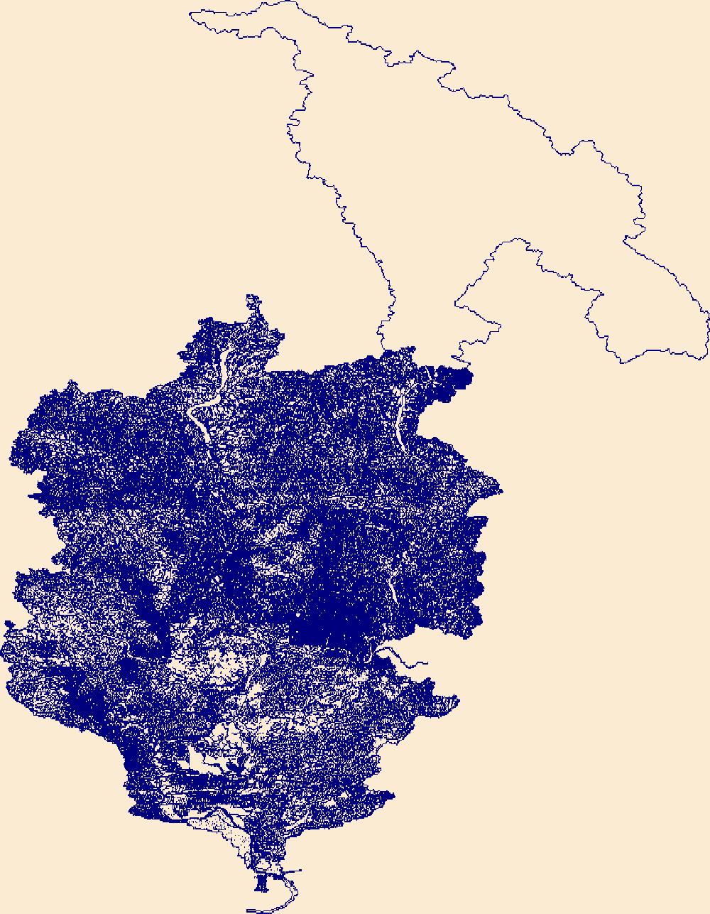
The High Resolution National Hydrography Dataset Plus (NHDPlus HR) is an integrated set of geospatial data layers, including the best available National Hydrography Dataset (NHD), the 10-meter 3D Elevation Program Digital Elevation Model (3DEP DEM), and the National Watershed Boundary Dataset (WBD). The NHDPlus HR combines the NHD, 3DEP DEMs, and WBD to create a stream network with linear referencing, feature naming, "value added attributes" (VAAs), elevation-derived catchments, and other features for hydrologic data analysis. The stream network with linear referencing is a system of data relationships applied to hydrographic systems so that one stream reach "flows" into another and "events" can be tied to and traced...
|

|