Filters
Date Range
Contacts
Tag Types
Tag Schemes
|

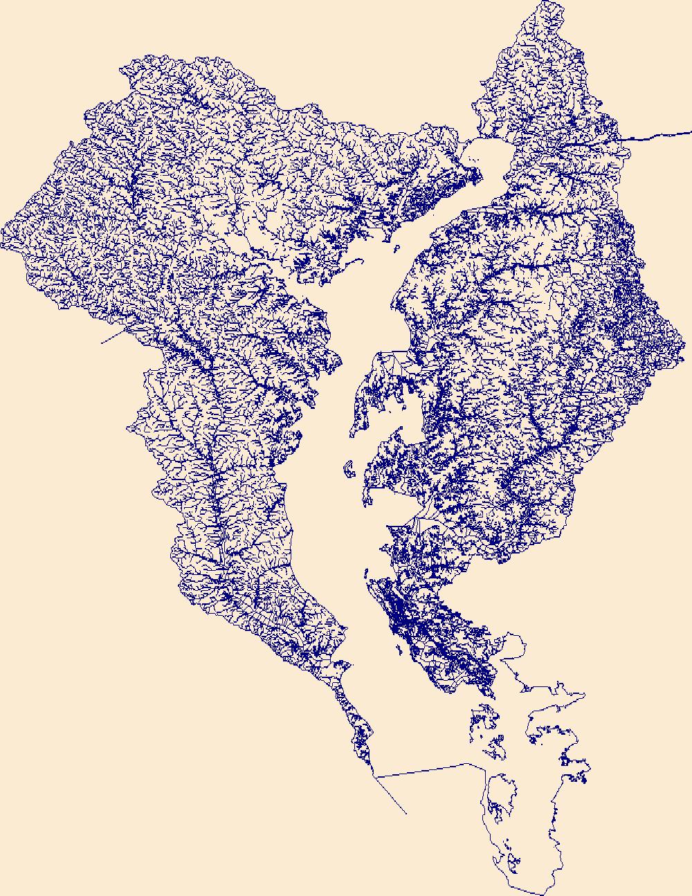
The High Resolution National Hydrography Dataset Plus (NHDPlus HR) is an integrated set of geospatial data layers, including the best available National Hydrography Dataset (NHD), the 10-meter 3D Elevation Program Digital Elevation Model (3DEP DEM), and the National Watershed Boundary Dataset (WBD). The NHDPlus HR combines the NHD, 3DEP DEMs, and WBD to create a stream network with linear referencing, feature naming, "value added attributes" (VAAs), elevation-derived catchments, and other features for hydrologic data analysis. The stream network with linear referencing is a system of data relationships applied to hydrographic systems so that one stream reach "flows" into another and "events" can be tied to and traced...
Tags: Bailey County,
Borden County,
Castro County,
Chaves County,
Cochran County, All tags...
Crosby County,
Curry County,
Dawson County,
Dickens County,
Downloadable Data,
FileGDB,
FileGDB 10.1,
Fisher County,
Floyd County,
Garza County,
HU-4 Subregion,
HU-4 Subregion,
HU4_1205,
Hale County,
Haskell County,
Hockley County,
Hydrography,
Jones County,
Kent County,
King County,
Lamb County,
Lubbock County,
Lynn County,
NHDPlus HR Rasters,
NHDPlus High Resolution (NHDPlus HR),
NM,
National Hydrography Dataset (NHD),
National Hydrography Dataset Plus High Resolution (NHDPlus HR),
National Hydrography Dataset Plus High Resolution (NHDPlus HR) Current,
New Mexico,
Parmer County,
Roosevelt County,
Scurry County,
Stonewall County,
Swisher County,
TX,
Terry County,
Texas,
US,
United States,
base maps,
cartography,
catchments,
channels,
digital elevation models,
drainage basins,
earth sciences,
elevation,
environment,
geographic information systems,
geoscientific,
geospatial analysis,
hydrographic datasets,
hydrographic features,
hydrology,
imagery,
inland waters,
lakes,
land surface characteristics,
reservoirs,
river reaches,
rivers,
streamflow,
streamflow data,
streams,
topography,
water bodies,
water quality,
water resources,
watersheds, Fewer tags

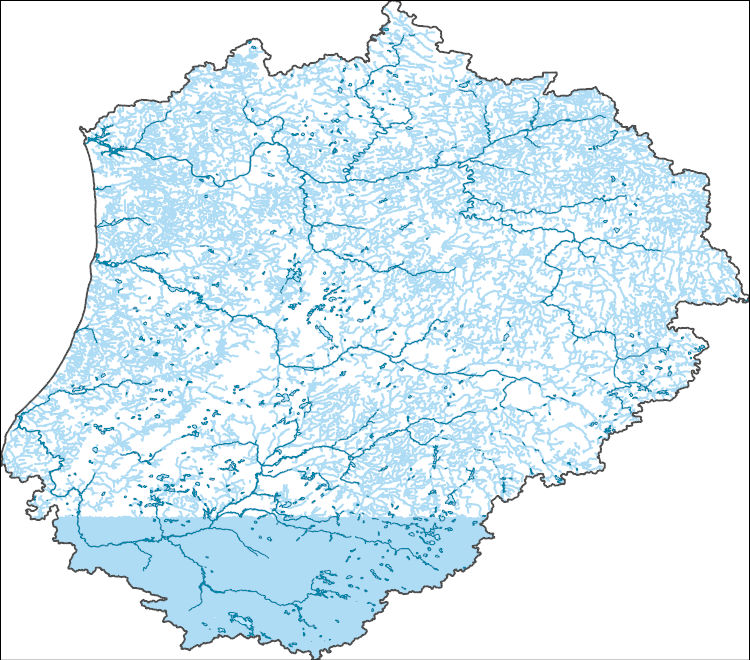
The High Resolution National Hydrography Dataset Plus (NHDPlus HR) is an integrated set of geospatial data layers, including the National Hydrography Dataset (NHD), National Watershed Boundary Dataset (WBD), and 3D Elevation Program Digital Elevation Model (3DEP DEM). The NHDPlus HR combines the NHD, 3DEP DEMs, and WBD to a data suite that includes the NHD stream network with linear referencing functionality, the WBD hydrologic units, elevation-derived catchment areas for each stream segment, "value added attributes" (VAAs), and other features that enhance hydrologic data analysis and routing.
Tags: 4-digit hydrologic unit,
Berkshire County,
CT,
Columbia County,
Connecticut, All tags...
Downloadable Data,
Dutchess County,
Fairfield County,
FileGDB,
HU-4 Subregion,
HU4,
HU4_0110,
Hampden County,
Hartford County,
Hydrography,
Kent County,
Litchfield County,
MA,
Massachusetts,
Middlesex County,
NHDPlus HR Rasters,
NHDPlus High Resolution (NHDPlus HR),
NY,
National Hydrography Dataset (NHD),
National Hydrography Dataset Plus High Resolution (NHDPlus HR),
National Hydrography Dataset Plus High Resolution (NHDPlus HR) Current,
New Haven County,
New London County,
New York,
Providence County,
Putnam County,
RI,
Rhode Island,
Tolland County,
US,
United States,
Washington County,
Westchester County,
Windham County,
Worcester County,
base maps,
cartography,
catchments,
channels,
digital elevation models,
drainage basins,
earthsciences,
environment,
geographic information systems,
geoscientificInformation,
geospatial analysis,
hydrographic datasets,
hydrographic features,
hydrology,
inlandWaters,
lakes,
land surface characteristics,
reservoirs,
river reaches,
rivers,
streamflow,
streamflow data,
streams,
surface water quality,
topography,
water resources,
waterbodies,
watersheds, Fewer tags

The High Resolution National Hydrography Dataset Plus (NHDPlus HR) is an integrated set of geospatial data layers, including the National Hydrography Dataset (NHD), National Watershed Boundary Dataset (WBD), and 3D Elevation Program Digital Elevation Model (3DEP DEM). The NHDPlus HR combines the NHD, 3DEP DEMs, and WBD to a data suite that includes the NHD stream network with linear referencing functionality, the WBD hydrologic units, elevation-derived catchment areas for each stream segment, "value added attributes" (VAAs), and other features that enhance hydrologic data analysis and routing.
Tags: 4-digit hydrologic unit,
Accomack County,
Albemarle County,
Alleghany County,
Amelia County, All tags...
Amherst County,
Appomattox County,
Augusta County,
Bath County,
Bedford County,
Botetourt County,
Buckingham County,
Buena Vista County,
Campbell County,
Caroline County,
Charles City County,
Charlotte County,
Charlottesville County,
Chesapeake County,
Chesterfield County,
Colonial Heights County,
Covington County,
Craig County,
Culpeper County,
Cumberland County,
DE,
Delaware,
Dinwiddie County,
Dorchester County,
Downloadable Data,
Essex County,
Fauquier County,
FileGDB,
Fluvanna County,
Fredericksburg County,
Giles County,
Gloucester County,
Goochland County,
Greenbrier County,
Greene County,
HU-4 Subregion,
HU4,
HU4_0208,
Hampton County,
Hanover County,
Henrico County,
Highland County,
Hopewell County,
Hydrography,
Isle of Wight County,
James City County,
Kent County,
King George County,
King William County,
King and Queen County,
Lancaster County,
Lexington County,
Louisa County,
Lunenburg County,
Lynchburg County,
MD,
Madison County,
Maryland,
Mathews County,
Middlesex County,
Monroe County,
Montgomery County,
NHDPlus HR Rasters,
NHDPlus High Resolution (NHDPlus HR),
National Hydrography Dataset (NHD),
National Hydrography Dataset Plus High Resolution (NHDPlus HR),
National Hydrography Dataset Plus High Resolution (NHDPlus HR) Current,
Nelson County,
New Kent County,
Newport News County,
Norfolk County,
Northampton County,
Northumberland County,
Nottoway County,
Orange County,
Page County,
Pendleton County,
Petersburg County,
Pocahontas County,
Poquoson County,
Portsmouth County,
Powhatan County,
Prince Edward County,
Prince George County,
Rappahannock County,
Richmond County,
Roanoke County,
Rockbridge County,
Rockingham County,
Somerset County,
Spotsylvania County,
St. Mary's County,
Stafford County,
Suffolk County,
Surry County,
Sussex County,
US,
United States,
VA,
Virginia,
Virginia Beach County,
WV,
Warren County,
West Virginia,
Westmoreland County,
Wicomico County,
Williamsburg County,
Worcester County,
York County,
base maps,
cartography,
catchments,
channels,
digital elevation models,
drainage basins,
earthsciences,
environment,
geographic information systems,
geoscientificInformation,
geospatial analysis,
hydrographic datasets,
hydrographic features,
hydrology,
inlandWaters,
lakes,
land surface characteristics,
reservoirs,
river reaches,
rivers,
streamflow,
streamflow data,
streams,
surface water quality,
topography,
water resources,
waterbodies,
watersheds, Fewer tags

The High Resolution National Hydrography Dataset Plus (NHDPlus HR) is an integrated set of geospatial data layers, including the National Hydrography Dataset (NHD), National Watershed Boundary Dataset (WBD), and 3D Elevation Program Digital Elevation Model (3DEP DEM). The NHDPlus HR combines the NHD, 3DEP DEMs, and WBD to a data suite that includes the NHD stream network with linear referencing functionality, the WBD hydrologic units, elevation-derived catchment areas for each stream segment, "value added attributes" (VAAs), and other features that enhance hydrologic data analysis and routing.
Tags: 4-digit hydrologic unit,
Accomack County,
Atlantic County,
Berks County,
Broome County, All tags...
Bucks County,
Burlington County,
Camden County,
Cape May County,
Carbon County,
Cecil County,
Chenango County,
Chester County,
Cumberland County,
DE,
Delaware,
Delaware County,
Downloadable Data,
FileGDB,
Gloucester County,
Greene County,
HU-4 Subregion,
HU4,
HU4_0204,
Hunterdon County,
Hydrography,
Kent County,
Lackawanna County,
Lancaster County,
Lebanon County,
Lehigh County,
Luzerne County,
MD,
Maryland,
Mercer County,
Monmouth County,
Monroe County,
Montgomery County,
Morris County,
NHDPlus HR Rasters,
NHDPlus High Resolution (NHDPlus HR),
NJ,
NY,
National Hydrography Dataset (NHD),
National Hydrography Dataset Plus High Resolution (NHDPlus HR),
National Hydrography Dataset Plus High Resolution (NHDPlus HR) Current,
New Castle County,
New Jersey,
New York,
Northampton County,
Ocean County,
Orange County,
PA,
Pennsylvania,
Philadelphia County,
Pike County,
Queens County,
Salem County,
Schoharie County,
Schuylkill County,
Sullivan County,
Sussex County,
US,
Ulster County,
United States,
VA,
Virginia,
Virginia Beach County,
Warren County,
Wayne County,
Worcester County,
base maps,
cartography,
catchments,
channels,
digital elevation models,
drainage basins,
earthsciences,
environment,
geographic information systems,
geoscientificInformation,
geospatial analysis,
hydrographic datasets,
hydrographic features,
hydrology,
inlandWaters,
lakes,
land surface characteristics,
reservoirs,
river reaches,
rivers,
streamflow,
streamflow data,
streams,
surface water quality,
topography,
water resources,
waterbodies,
watersheds, Fewer tags
The High Resolution National Hydrography Dataset Plus (NHDPlus HR) is an integrated set of geospatial data layers, including the National Hydrography Dataset (NHD), National Watershed Boundary Dataset (WBD), and 3D Elevation Program Digital Elevation Model (3DEP DEM). The NHDPlus HR combines the NHD, 3DEP DEMs, and WBD to a data suite that includes the NHD stream network with linear referencing functionality, the WBD hydrologic units, elevation-derived catchment areas for each stream segment, "value added attributes" (VAAs), and other features that enhance hydrologic data analysis and routing.
Tags: 4-digit hydrologic unit,
Anne Arundel County,
Baltimore County,
Calvert County,
Caroline County, All tags...
Carroll County,
Cecil County,
Charles County,
Chester County,
DE,
Delaware,
Dorchester County,
Downloadable Data,
FileGDB,
Frederick County,
HU-4 Subregion,
HU4,
HU4_0206,
Harford County,
Howard County,
Hydrography,
Kent County,
MD,
Maryland,
Montgomery County,
NHDPlus HR Rasters,
NHDPlus High Resolution (NHDPlus HR),
National Hydrography Dataset (NHD),
National Hydrography Dataset Plus High Resolution (NHDPlus HR),
National Hydrography Dataset Plus High Resolution (NHDPlus HR) Current,
New Castle County,
PA,
Pennsylvania,
Prince George's County,
Queen Anne's County,
Somerset County,
St. Mary's County,
Talbot County,
US,
United States,
York County,
base maps,
cartography,
catchments,
channels,
digital elevation models,
drainage basins,
earthsciences,
environment,
geographic information systems,
geoscientificInformation,
geospatial analysis,
hydrographic datasets,
hydrographic features,
hydrology,
inlandWaters,
lakes,
land surface characteristics,
reservoirs,
river reaches,
rivers,
streamflow,
streamflow data,
streams,
surface water quality,
topography,
water resources,
waterbodies,
watersheds, Fewer tags
The High Resolution National Hydrography Dataset Plus (NHDPlus HR) is an integrated set of geospatial data layers, including the best available National Hydrography Dataset (NHD), the 10-meter 3D Elevation Program Digital Elevation Model (3DEP DEM), and the National Watershed Boundary Dataset (WBD). The NHDPlus HR combines the NHD, 3DEP DEMs, and WBD to create a stream network with linear referencing, feature naming, "value added attributes" (VAAs), elevation-derived catchments, and other features for hydrologic data analysis. The stream network with linear referencing is a system of data relationships applied to hydrographic systems so that one stream reach "flows" into another and "events" can be tied to and traced...
Tags: Allegan County,
Barry County,
Berrien County,
Branch County,
Calhoun County, All tags...
Cass County,
Clinton County,
DeKalb County,
Downloadable Data,
Eaton County,
Elkhart County,
FileGDB,
FileGDB 10.1,
Gratiot County,
HU-4 Subregion,
HU-4 Subregion,
HU4_0405,
Hillsdale County,
Hydrography,
IN,
Indiana,
Ingham County,
Ionia County,
Isabella County,
Jackson County,
Kalamazoo County,
Kent County,
Kosciusko County,
LaGrange County,
Livingston County,
MI,
Mecosta County,
Michigan,
Montcalm County,
Muskegon County,
NHDPlus HR Rasters,
NHDPlus High Resolution (NHDPlus HR),
National Hydrography Dataset (NHD),
National Hydrography Dataset Plus High Resolution (NHDPlus HR),
National Hydrography Dataset Plus High Resolution (NHDPlus HR) Current,
Newaygo County,
Noble County,
Ottawa County,
Shiawassee County,
St. Joseph County,
St. Joseph County,
Steuben County,
US,
United States,
Van Buren County,
Washtenaw County,
Whitley County,
base maps,
cartography,
catchments,
channels,
digital elevation models,
drainage basins,
earth sciences,
elevation,
environment,
geographic information systems,
geoscientific,
geospatial analysis,
hydrographic datasets,
hydrographic features,
hydrology,
imagery,
inland waters,
lakes,
land surface characteristics,
reservoirs,
river reaches,
rivers,
streamflow,
streamflow data,
streams,
topography,
water bodies,
water quality,
water resources,
watersheds, Fewer tags
|
|

