Filters: Tags: Kentland, IN (X)
5 results (28ms)|
Filters
Contacts
(Less)
|
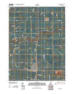
Layered GeoPDF 7.5 Minute Quadrangle Map. Layers of geospatial data include orthoimagery, roads, grids, geographic names, elevation contours, hydrography, and other selected map features.
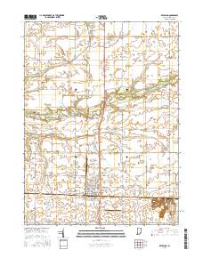
Layered geospatial PDF Map. Layers of geospatial data include orthoimagery, roads, grids, geographic names, elevation contours, hydrography, and other selected map features.
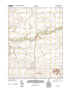
Layered GeoPDF 7.5 Minute Quadrangle Map. Layers of geospatial data include orthoimagery, roads, grids, geographic names, elevation contours, hydrography, and other selected map features.
A comprehensive study of water quality in two streams was conducted in the Midwestern United States in 1999 to 2003. The Iroquois River and Sugar Creek, located in northwestern Indiana and northeastern Illinois have been heavily impacted by agricultural land use and contain relatively high concentrations of inorganic nitrogen, primarily as nitrate. As part of that study, samples were collected and analyzed for dissolved methane and nitrous oxide concentrations to determine greenhouse gas (GHG) concentrations in the streams and the relation of GHG concentrations to concentrations of other inorganic nitrogen species in the water. These data are the results of that study. The data include GHG and nutrient samples collected...
Categories: Data,
Data Release - Revised;
Tags: Kentland, IN,
USGS Science Data Catalog (SDC),
biogeochemical processes,
greenhouse gas,
nutrient content,
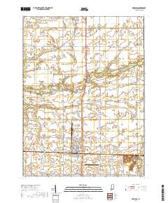
Layered geospatial PDF 7.5 Minute Quadrangle Map. Layers of geospatial data include orthoimagery, roads, grids, geographic names, elevation contours, hydrography, and other selected map features. This map is derived from GIS (geospatial information system) data. It represents a repackaging of GIS data in traditional map form, not creation of new information. The geospatial data in this map are from selected National Map data holdings and other government sources.
|

|
