Filters: Tags: Livingston County (X) > Date Range: {"choice":"month"} (X)
3 results (10ms)|
Filters
Date Types (for Date Range)
Types Contacts
Categories Tag Types
|
Background: A sequence of gently dipping carbonate bedrock - the Bertie Formation, Akron Dolostone, and Onondaga Limestone crop out along a 2- to5-mile wide band in western and central New York. These bedrock units trend east-west for 250 miles across the State and form extensive carbonate-bedrock aquifers which transmit and yield water from solution-enlarged fractures, bedding planes, and other openings (Olcott, 1995). Bedding planes or sub-horizontal fractures typically are the most enlarged and important water conduits. Karstic features such as sinkholes, swallets, solution channels, and caverns can locally transmit large amounts of surface water into the ground where the groundwater can move quickly and over...
Categories: Data,
Project;
Types: Downloadable,
Map Service,
OGC WFS Layer,
OGC WMS Layer,
Shapefile;
Tags: Aquifer Mapping,
Aquifer Mapping,
Aquifer Mapping,
Basin & Hydrogeologic Characterization,
Basin & Hydrogeologic Characterization,
Problem - Roof collapses in the Retsof salt mine near Geneseo N.Y. in March and April of 1994 propagated upward through overlying bedrock, forming a 600-ft-long rubble zone or chimney that connected the mine to a glacial aquifer system and created sinkholes at land surface. Fresh water from the glacial aquifers flowed downward into the mine until the mine was completely flooded in January 1996. The mine opening is predicted to slowly close over a period of several hundred years, with most of the subsidence occurring before 2070. As the mine opening closes, about 40 percent of the brine will be displaced from the mine and migrate upward through the rubble chimney. Continuing monitoring of chloride concentrations...
Categories: Data,
Project;
Types: Downloadable,
Map Service,
OGC WFS Layer,
OGC WMS Layer,
Shapefile;
Tags: Completed,
Contaminants, Emerging,
Contaminants, Emerging,
Contaminants, emerging,
Cooperative Water Program,

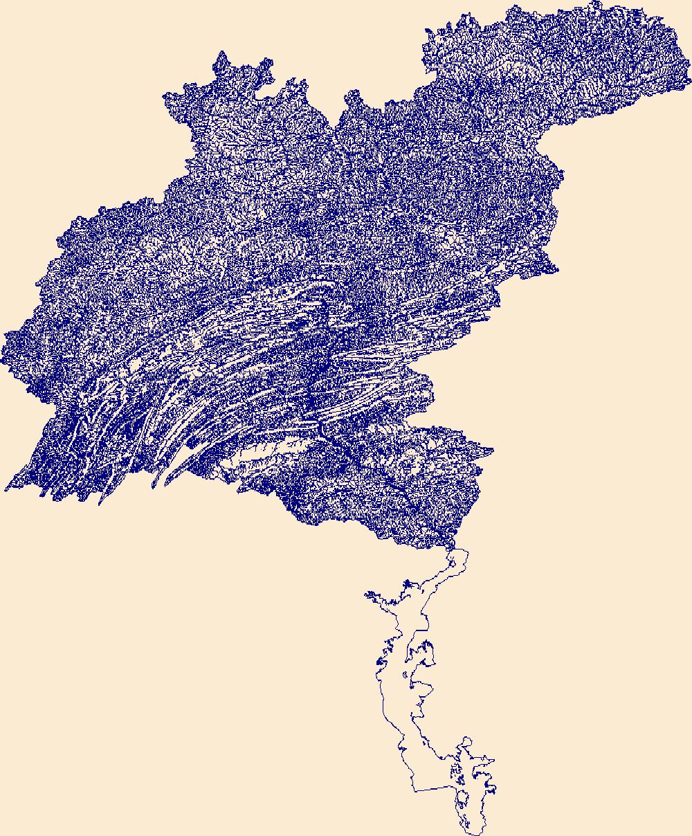
The High Resolution National Hydrography Dataset Plus (NHDPlus HR) is an integrated set of geospatial data layers, including the National Hydrography Dataset (NHD), National Watershed Boundary Dataset (WBD), and 3D Elevation Program Digital Elevation Model (3DEP DEM). The NHDPlus HR combines the NHD, 3DEP DEMs, and WBD to a data suite that includes the NHD stream network with linear referencing functionality, the WBD hydrologic units, elevation-derived catchment areas for each stream segment, "value added attributes" (VAAs), and other features that enhance hydrologic data analysis and routing.
|

|