Filters: Tags: Marcellus (X) > partyWithName: U.S. Geological Survey (X)
12 results (98ms)|
Filters
Date Range
Contacts
Tag Types Tag Schemes |
In 2012, catchments were generated in the Delaware River Basin for 8-digit HUCs in the areas underlain by the Marcellus Shale (all of 02040101, 02040102, 02040103, 02040104; and headwater areas of 02040106 and 02040203) based on the National Hydrography Dataset (NHD) Strahler first- and second-order streams. There were areas that did not have a catchment generated so another methodology needed to be used in an attempt to fill in the 'gap areas'. A 900-cell, flow accumulation raster generated for the Pennsylvania StreamStats application was used as a surrogate stream layer with the same Strahler ordering system applied to help fill in the 'gap areas'. Points were manually placed at the downstream end of the Strahler...
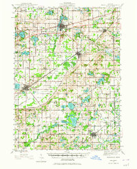
USGS Historical Quadrangle in GeoPDF.

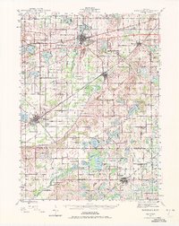
USGS Historical Quadrangle in GeoPDF.
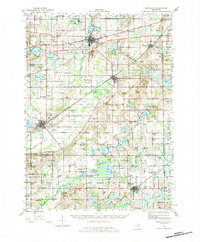
USGS Historical Quadrangle in GeoPDF.
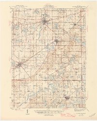
USGS Historical Quadrangle in GeoPDF.
USGS Historical Quadrangle in GeoPDF.

USGS Historical Quadrangle in GeoPDF.
USGS Historical Quadrangle in GeoPDF.
USGS Historical Quadrangle in GeoPDF.

USGS Historical Quadrangle in GeoPDF.

USGS Historical Quadrangle in GeoPDF.
USGS Historical Quadrangle in GeoPDF.
|

|
