Filters
Date Range
Contacts
Tag Types
Tag Schemes
|
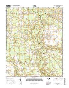
Layered geospatial PDF Map. Layers of geospatial data include orthoimagery, roads, grids, geographic names, elevation contours, hydrography, and other selected map features.
Tags: 7.5 x 7.5 minute,
Beaufort,
Downloadable Data,
EarthCover,
GeoPDF, All tags...
Imagery and Base Maps,
Leggetts Crossroads, NC,
Map,
Martin,
North Carolina,
Pitt,
Public Land Survey System,
U.S. National Grid,
US,
US Topo,
US Topo Historical,
United States,
boundary,
contour,
geographic names,
hydrography,
imageryBaseMapsEarthCover,
orthoimage,
structures,
topographic,
transportation,
woodland, Fewer tags
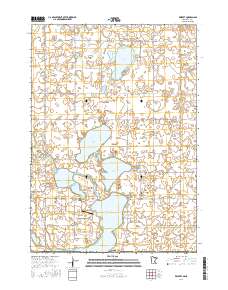
Layered geospatial PDF Map. Layers of geospatial data include orthoimagery, roads, grids, geographic names, elevation contours, hydrography, and other selected map features.
Tags: 7.5 x 7.5 minute,
Downloadable Data,
EarthCover,
Emmet,
GeoPDF, All tags...
Imagery and Base Maps,
Iowa,
Map,
Martin,
Minnesota,
Public Land Survey System,
U.S. National Grid,
US,
US Topo,
US Topo Historical,
United States,
Wilbert, MN-IA,
boundary,
contour,
geographic names,
hydrography,
imageryBaseMapsEarthCover,
orthoimage,
structures,
topographic,
transportation,
woodland, Fewer tags
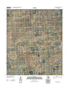
Layered GeoPDF 7.5 Minute Quadrangle Map. Layers of geospatial data include orthoimagery, roads, grids, geographic names, elevation contours, hydrography, and other selected map features.
Tags: 7.5 x 7.5 minute,
Downloadable Data,
EarthCover,
GeoPDF,
Imagery and Base Maps, All tags...
Lenorah West, TX,
Map,
Martin,
Public Land Survey System,
Texas,
U.S. National Grid,
US,
US Topo,
US Topo Historical,
United States,
boundary,
contour,
geographic names,
hydrography,
imageryBaseMapsEarthCover,
orthoimage,
structures,
topographic,
transportation,
woodland, Fewer tags
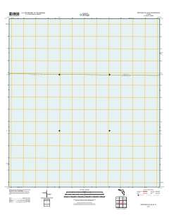
Layered GeoPDF 7.5 Minute Quadrangle Map. Layers of geospatial data include orthoimagery, roads, grids, geographic names, elevation contours, hydrography, and other selected map features.
Tags: 7.5 x 7.5 minute,
Downloadable Data,
EarthCover,
Florida,
GeoPDF, All tags...
Imagery and Base Maps,
Map,
Martin,
Palm Beach,
Port Mayaca OE W, FL,
U.S. National Grid,
US,
US Topo,
US Topo Historical,
United States,
contour,
geographic names,
hydrography,
imageryBaseMapsEarthCover,
orthoimage,
structures,
topographic,
transportation, Fewer tags
Layered GeoPDF 7.5 Minute Quadrangle Map. Layers of geospatial data include orthoimagery, roads, grids, geographic names, elevation contours, hydrography, and other selected map features.
Tags: 7.5 x 7.5 minute,
Dawson,
Downloadable Data,
EarthCover,
GeoPDF, All tags...
Imagery and Base Maps,
Map,
Martin,
Patricia, TX,
Texas,
U.S. National Grid,
US,
US Topo,
US Topo Historical,
United States,
contour,
geographic names,
hydrography,
orthoimage,
topographic,
transportation, Fewer tags
Layered GeoPDF 7.5 Minute Quadrangle Map. Layers of geospatial data include orthoimagery, roads, grids, geographic names, elevation contours, hydrography, and other selected map features.
Tags: 7.5 x 7.5 minute,
Downloadable Data,
EarthCover,
GeoPDF,
Howard, All tags...
Imagery and Base Maps,
Map,
Martin,
Natural Dam Lake, TX,
Public Land Survey System,
Texas,
U.S. National Grid,
US,
US Topo,
US Topo Historical,
United States,
boundary,
contour,
geographic names,
hydrography,
imageryBaseMapsEarthCover,
orthoimage,
structures,
topographic,
transportation,
woodland, Fewer tags
Layered GeoPDF 7.5 Minute Quadrangle Map. Layers of geospatial data include orthoimagery, roads, grids, geographic names, elevation contours, hydrography, and other selected map features.
Tags: 7.5 x 7.5 minute,
Downloadable Data,
EarthCover,
Florida,
GeoPDF, All tags...
Imagery and Base Maps,
Map,
Martin,
Public Land Survey System,
Saint Lucie Inlet, FL,
U.S. National Grid,
US,
US Topo,
US Topo Historical,
United States,
boundary,
contour,
geographic names,
hydrography,
imageryBaseMapsEarthCover,
orthoimage,
structures,
topographic,
transportation,
woodland, Fewer tags
Layered GeoPDF 7.5 Minute Quadrangle Map. Layers of geospatial data include orthoimagery, roads, grids, geographic names, elevation contours, hydrography, and other selected map features.
Tags: 7.5 x 7.5 minute,
Ackerly, TX,
Borden,
Dawson,
Downloadable Data, All tags...
EarthCover,
GeoPDF,
Howard,
Imagery and Base Maps,
Map,
Martin,
Public Land Survey System,
Texas,
U.S. National Grid,
US,
US Topo,
US Topo Historical,
United States,
boundary,
contour,
geographic names,
hydrography,
imageryBaseMapsEarthCover,
orthoimage,
structures,
topographic,
transportation,
woodland, Fewer tags
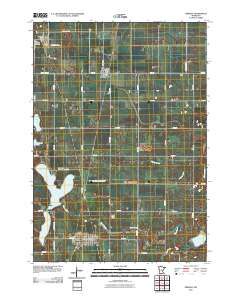
Layered GeoPDF 7.5 Minute Quadrangle Map. Layers of geospatial data include orthoimagery, roads, grids, geographic names, elevation contours, hydrography, and other selected map features.
Tags: 7.5 x 7.5 minute,
Downloadable Data,
EarthCover,
GeoPDF,
Imagery and Base Maps, All tags...
Map,
Martin,
Minnesota,
Trimont, MN,
U.S. National Grid,
US,
US Topo,
US Topo Historical,
United States,
Watonwan,
contour,
geographic names,
hydrography,
imageryBaseMapsEarthCover,
orthoimage,
topographic,
transportation, Fewer tags
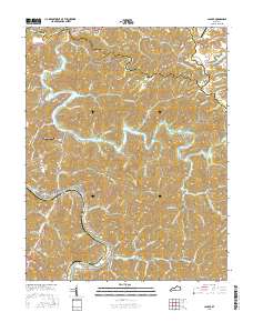
Layered GeoPDF 7.5 Minute Quadrangle Map. Layers of geospatial data include orthoimagery, roads, grids, geographic names, elevation contours, hydrography, and other selected map features.
Tags: 7.5 x 7.5 minute,
Downloadable Data,
EarthCover,
Floyd,
GeoPDF, All tags...
Imagery and Base Maps,
Johnson,
Kentucky,
Lancer, KY,
Map,
Martin,
Public Land Survey System,
U.S. National Grid,
US,
US Topo,
US Topo Historical,
United States,
boundary,
contour,
geographic names,
hydrography,
imageryBaseMapsEarthCover,
orthoimage,
structures,
topographic,
transportation,
woodland, Fewer tags
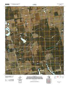
Layered GeoPDF 7.5 Minute Quadrangle Map. Layers of geospatial data include orthoimagery, roads, grids, geographic names, elevation contours, hydrography, and other selected map features.
Tags: 7.5 x 7.5 minute,
Downloadable Data,
EarthCover,
GeoPDF,
Howard, All tags...
Imagery and Base Maps,
Knott SW, TX,
Map,
Martin,
Texas,
U.S. National Grid,
US,
US Topo,
US Topo Historical,
United States,
contour,
geographic names,
hydrography,
orthoimage,
topographic,
transportation, Fewer tags
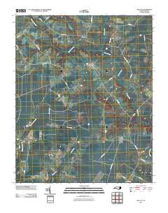
Layered GeoPDF 7.5 Minute Quadrangle Map. Layers of geospatial data include orthoimagery, roads, grids, geographic names, elevation contours, hydrography, and other selected map features.
Tags: 7.5 x 7.5 minute,
Downloadable Data,
EarthCover,
Edgecombe,
GeoPDF, All tags...
Imagery and Base Maps,
Map,
Martin,
North Carolina,
Oak City, NC,
U.S. National Grid,
US,
US Topo,
US Topo Historical,
United States,
contour,
geographic names,
hydrography,
imageryBaseMapsEarthCover,
orthoimage,
topographic,
transportation, Fewer tags
Layered GeoPDF 7.5 Minute Quadrangle Map. Layers of geospatial data include orthoimagery, roads, grids, geographic names, elevation contours, hydrography, and other selected map features.
Tags: 7.5 x 7.5 minute,
Downloadable Data,
EarthCover,
GeoPDF,
Imagery and Base Maps, All tags...
Inez, KY,
Johnson,
Kentucky,
Map,
Martin,
U.S. National Grid,
US,
US Topo,
US Topo Historical,
United States,
contour,
geographic names,
hydrography,
orthoimage,
topographic,
transportation, Fewer tags
Layered GeoPDF 7.5 Minute Quadrangle Map. Layers of geospatial data include orthoimagery, roads, grids, geographic names, elevation contours, hydrography, and other selected map features.
Tags: 7.5 x 7.5 minute,
Downloadable Data,
EarthCover,
Floyd,
GeoPDF, All tags...
Imagery and Base Maps,
Kentucky,
Map,
Martin,
Pike,
Public Land Survey System,
Thomas, KY,
U.S. National Grid,
US,
US Topo,
US Topo Historical,
United States,
boundary,
contour,
geographic names,
hydrography,
imageryBaseMapsEarthCover,
orthoimage,
structures,
topographic,
transportation,
woodland, Fewer tags
Layered GeoPDF 7.5 Minute Quadrangle Map. Layers of geospatial data include orthoimagery, roads, grids, geographic names, elevation contours, hydrography, and other selected map features.
Tags: 7.5 x 7.5 minute,
Downloadable Data,
EarthCover,
GeoPDF,
Imagery and Base Maps, All tags...
Kentucky,
Map,
Martin,
Pike,
Public Land Survey System,
U.S. National Grid,
US,
US Topo,
US Topo Historical,
United States,
Varney, KY,
boundary,
contour,
geographic names,
hydrography,
imageryBaseMapsEarthCover,
orthoimage,
structures,
topographic,
transportation,
woodland, Fewer tags
Layered GeoPDF 7.5 Minute Quadrangle Map. Layers of geospatial data include orthoimagery, roads, grids, geographic names, elevation contours, hydrography, and other selected map features.
Tags: 7.5 x 7.5 minute,
Downloadable Data,
EarthCover,
Florida,
GeoPDF, All tags...
Glades,
Imagery and Base Maps,
Map,
Martin,
Okeechobee,
Okeechobee SE, FL,
Public Land Survey System,
U.S. National Grid,
US,
US Topo,
US Topo Historical,
United States,
boundary,
contour,
geographic names,
hydrography,
imageryBaseMapsEarthCover,
orthoimage,
structures,
topographic,
transportation,
woodland, Fewer tags
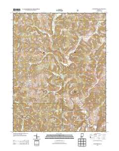
Layered GeoPDF 7.5 Minute Quadrangle Map. Layers of geospatial data include orthoimagery, roads, grids, geographic names, elevation contours, hydrography, and other selected map features.
Tags: 7.5 x 7.5 minute,
Downloadable Data,
EarthCover,
GeoPDF,
Greene, All tags...
Imagery and Base Maps,
Indiana,
Lawrence,
Map,
Martin,
Monroe,
Owensburg, IN,
Public Land Survey System,
U.S. National Grid,
US,
US Topo,
US Topo Historical,
United States,
boundary,
contour,
geographic names,
hydrography,
imageryBaseMapsEarthCover,
orthoimage,
structures,
topographic,
transportation,
woodland, Fewer tags
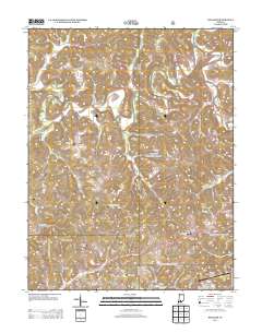
Layered GeoPDF 7.5 Minute Quadrangle Map. Layers of geospatial data include orthoimagery, roads, grids, geographic names, elevation contours, hydrography, and other selected map features.
Tags: 7.5 x 7.5 minute,
Downloadable Data,
Dubois,
EarthCover,
GeoPDF, All tags...
Hillham, IN,
Imagery and Base Maps,
Indiana,
Map,
Martin,
Orange,
Public Land Survey System,
U.S. National Grid,
US,
US Topo,
US Topo Historical,
United States,
boundary,
contour,
geographic names,
hydrography,
imageryBaseMapsEarthCover,
orthoimage,
structures,
topographic,
transportation,
woodland, Fewer tags
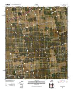
Layered GeoPDF 7.5 Minute Quadrangle Map. Layers of geospatial data include orthoimagery, roads, grids, geographic names, elevation contours, hydrography, and other selected map features.
Tags: 7.5 x 7.5 minute,
Downloadable Data,
EarthCover,
GeoPDF,
Imagery and Base Maps, All tags...
Map,
Martin,
Midland,
Stanton SE, TX,
Texas,
U.S. National Grid,
US,
US Topo,
US Topo Historical,
United States,
contour,
geographic names,
hydrography,
orthoimage,
topographic,
transportation, Fewer tags
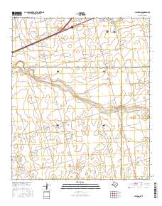
Layered GeoPDF 7.5 Minute Quadrangle Map. Layers of geospatial data include orthoimagery, roads, grids, geographic names, elevation contours, hydrography, and other selected map features.
Tags: 7.5 x 7.5 minute,
Downloadable Data,
EarthCover,
GeoPDF,
Glasscock, All tags...
Imagery and Base Maps,
Map,
Martin,
Midland,
Public Land Survey System,
Stanton SE, TX,
Texas,
U.S. National Grid,
US,
US Topo,
US Topo Historical,
United States,
boundary,
contour,
geographic names,
hydrography,
imageryBaseMapsEarthCover,
orthoimage,
structures,
topographic,
transportation,
woodland, Fewer tags
|
|