Filters: Tags: Maui County (X) > Date Range: {"choice":"year"} (X)
16 results (111ms)|
Filters
Date Types (for Date Range)
Contacts
Categories Tag Types Tag Schemes |
This portion of the data release presents a bathymetric point cloud from an unoccupied aerial system (UAS) survey of the coral reef off Waiakane, Molokai, Hawaii, on 24 June 2018. The point cloud has been corrected for the effects of refraction using the techniques described in Dietrich (2017a). The point cloud was created from structure-from-motion (SfM) processing of aerial imagery collected using a UAS with a Ricoh GR II digital camera fitted with a circular polarizing filter. During the survey, a pressure sensor was deployed in the survey area to gain an accurate measurement of the water surface elevation (WSE). After a preliminary dense point cloud was derived from SfM processing, the WSE was used to calculate...
This portion of the data release presents a bathymetric digital surface model (DSM) from an unoccupied aerial system (UAS) survey of the coral reef off Waiakane, Molokai, Hawaii, on 24 June 2018. The DSM has a horizontal resolution of 10 centimeters per pixel and has been corrected for the effects of refraction using the techniques described in Dietrich (2017a). The DSM was created from structure-from-motion (SfM) processing of aerial imagery collected using a UAS with a Ricoh GR II digital camera fitted with a circular polarizing filter. During the survey, a pressure sensor was deployed in the survey area to derive an accurate measurement of the mean water surface elevation (WSE). After a preliminary dense point...

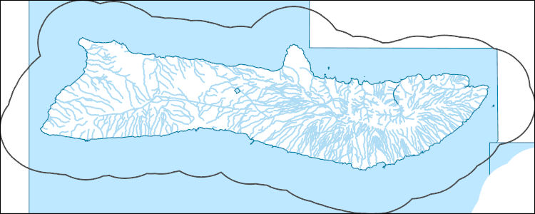
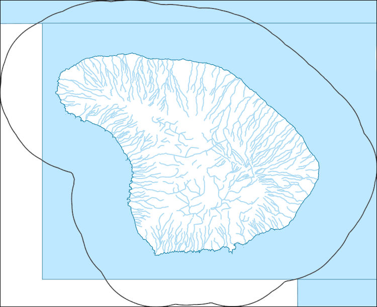
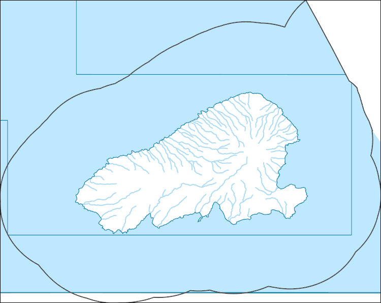
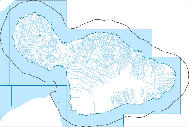
The High Resolution National Hydrography Dataset Plus (NHDPlus HR) is an integrated set of geospatial data layers, including the best available National Hydrography Dataset (NHD), the 10-meter 3D Elevation Program Digital Elevation Model (3DEP DEM), and the National Watershed Boundary Dataset (WBD). The NHDPlus HR combines the NHD, 3DEP DEMs, and WBD to create a stream network with linear referencing, feature naming, "value added attributes" (VAAs), elevation-derived catchments, and other features for hydrologic data analysis. The stream network with linear referencing is a system of data relationships applied to hydrographic systems so that one stream reach "flows" into another and "events" can be tied to and traced...

The High Resolution National Hydrography Dataset Plus (NHDPlus HR) is an integrated set of geospatial data layers, including the best available National Hydrography Dataset (NHD), the 10-meter 3D Elevation Program Digital Elevation Model (3DEP DEM), and the National Watershed Boundary Dataset (WBD). The NHDPlus HR combines the NHD, 3DEP DEMs, and WBD to create a stream network with linear referencing, feature naming, "value added attributes" (VAAs), elevation-derived catchments, and other features for hydrologic data analysis. The stream network with linear referencing is a system of data relationships applied to hydrographic systems so that one stream reach "flows" into another and "events" can be tied to and traced...

The High Resolution National Hydrography Dataset Plus (NHDPlus HR) is an integrated set of geospatial data layers, including the best available National Hydrography Dataset (NHD), the 10-meter 3D Elevation Program Digital Elevation Model (3DEP DEM), and the National Watershed Boundary Dataset (WBD). The NHDPlus HR combines the NHD, 3DEP DEMs, and WBD to create a stream network with linear referencing, feature naming, "value added attributes" (VAAs), elevation-derived catchments, and other features for hydrologic data analysis. The stream network with linear referencing is a system of data relationships applied to hydrographic systems so that one stream reach "flows" into another and "events" can be tied to and traced...

The High Resolution National Hydrography Dataset Plus (NHDPlus HR) is an integrated set of geospatial data layers, including the best available National Hydrography Dataset (NHD), the 10-meter 3D Elevation Program Digital Elevation Model (3DEP DEM), and the National Watershed Boundary Dataset (WBD). The NHDPlus HR combines the NHD, 3DEP DEMs, and WBD to create a stream network with linear referencing, feature naming, "value added attributes" (VAAs), elevation-derived catchments, and other features for hydrologic data analysis. The stream network with linear referencing is a system of data relationships applied to hydrographic systems so that one stream reach "flows" into another and "events" can be tied to and traced...
Multi-species recovery planning can be a challenging natural resource management task. In collaboration with state and federal agencies, and botanical and technical experts, we developed and tested a multi-step optimization process to assist in identifying the minimum climate resilient habitat for the recovery of multiple threatened, endangered, and at-risk plant species across east Maui. The list of plant species used during this project, and number of planning units required to recover each species, are included.
Multi-species recovery planning can be a challenging natural resource management task. In collaboration with state and federal agencies, and botanical and technical experts, we developed and tested a multi-step optimization process to assist in identifying the minimum climate resilient habitat for the recovery of multiple threatened, endangered, and at-risk plant species across east Maui, Hawaiʻi. Data include the underlying land-use configuration file, predictive climate models, list of plant species and number of populations to recover/protect, habitat and forest bird distribution information, presence of fencing, land management status, and naming protocol file. We identified a suite of potential conservation...
Time series data of wave height and water surface elevation were acquired at ten locations for 75 days south of Lahaina, off of the west coast of the island of Maui, Hawaii, in support of a study on the coastal circulation patterns and the transformation of surface waves over the coral reefs. The relative placement of sensors on the reefs were as follows: MAU17TP1 and MAU17LA1 – middle fore reef MAU17TP2 and MAU17LA2 – upper fore reef MAU17TP3 and MAU17LA3 – outer reef flat MAU17TP4 and MAU17LA4 – middle reef flat MAU17TP5 and MAU17LA5 – inner reef flat
East Maui, Hawaiʻi optimization of climate resilient habitat for native plant species recovery, 2021
Multi-species recovery planning can be a challenging natural resource management task. In collaboration with state and federal agencies, and botanical and technical experts, we developed and tested a multi-step optimization process to assist in identifying the minimum climate resilient habitat for the recovery of multiple threatened, endangered, and at-risk plant species across east Maui. Data include the underlying land-use configuration file, predictive climate models, list of plant species and number of populations to recover/protect, habitat and forest bird distribution information, presence of fencing, land management status, and naming protocol file. We identified a suite of potential conservation footprints...
Fog has been demonstrated to support plant growth, survival and ecosystem maintenance spanning rainfall and elevation gradients across the world. Persistent fog and strong winds on high mountain slopes in Hawaiʻi create a unique ecological environment. We collected stem diameter measurements of three native plant species at Nakula Natural Area Reserve, Maui, during 2016-2019 and numerous environmental variables to examine how rain, fog and soil moisture influence plant water deficit and growth. We also collected seedling growth and survival data within plots where grass was removed, and control plots (no grass removal), to assess if and how grass removal influenced seedling growth and soil moisture.
This portion of the data release presents a high-resolution orthomosaic image of the coral reef off Waiakane, Molokai, Hawaii. The orthomosaic has a resolution of 2.5 centimeters (cm) per pixel and was derived from structure-from-motion (SfM) processing of aerial imagery collected with an unoccupied aerial system (UAS) on 24 June 2018. The raw imagery used to create the orthomosaic was acquired using a UAS fitted with a Ricoh GR II digital camera featuring a global shutter. The UAS was flown on pre-programmed autonomous flight lines spaced to provide approximately 75 percent overlap between images from adjacent lines. The UAS was flown at an approximate altitude of 100 meters above ground level (AGL), resulting...
This portion of the data release presents raw aerial imagery collected during an unoccupied aerial system (UAS) survey of the coral reef off Waiakane, Molokai, Hawaii, on 24 June 2018. The imagery was acquired using a Department of Interior-owned 3DR Solo quadcopter fitted with a Ricoh GR II digital camera featuring a global shutter. The camera was mounted in a nadir orientation using a fixed mount. Before each flight, the camera’s digital ISO, aperture, and shutter speed were adjusted for ambient light conditions. The UAS was flown on pre-programmed autonomous flight lines spaced to provide approximately 75 percent overlap between images from adjacent lines. The UAS was flown at an approximate altitude of 100 meters...
Multi-species recovery planning can be a challenging natural resource management task. In collaboration with state and federal agencies, and botanical and technical experts, we developed and tested a multi-step optimization process to assist in identifying the minimum climate resilient habitat for the recovery of multiple threatened, endangered, and at-risk plant species across east Maui. The dataset presented here includes all metrics used to consider selection of units for the spatial optimization.
This portion of the data release presents the locations of the temporary ground control points (GCPs) used for the structure-from-motion (SfM) processing of the imagery collected during an unoccupied aerial system (UAS) survey of the coral reef off Waiakane, Molokai, Hawaii, on 24 June 2018. Twenty temporary ground control points (GCPs) were distributed throughout the survey area to establish survey control. The GCPs consisted of: nine submerged targets consisting of small (80 centimeter X 80 centimeter) square tarps with black-and-white cross patterns anchored to the shallow (less than 1.5 meters deep) seafloor using 0.9 kilogram fishing weights; nine sub-aerial targets consisting of orange plastic five-gallon...
Categories: Data;
Tags: Bathymetry and Elevation,
CHMRP,
Coastal and Marine Hazards and Resources Program,
Kalohi Channel,
Maui County,
Time series data of water surface elevation, wave height, and water column currents and temperature were acquired at seven locations for 86 days off of Waiakane on the south coast of the island of Molokai, Hawaii, in support of a study on the coastal circulation patterns and the transformation of surface waves over the coral reefs. The relative placement of sensors on the reef were as follows: MKK18C01 – offshore MKK18C02 and MKK18C09 – fore reef MKK18C18 – reef crest MKK18C20 – outer reef flat MKK18C22 – middle reef flat MKK18C22 – inner reef flat
|

|