Filters: Tags: Miami-Dade County (X)
154 results (99ms)|
Filters
Date Range
Extensions Types
Contacts
Categories Tag Types Tag Schemes |
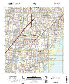
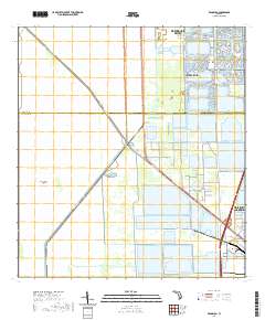
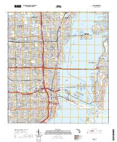
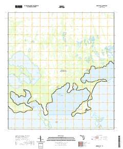
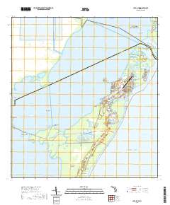
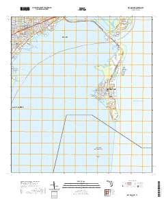
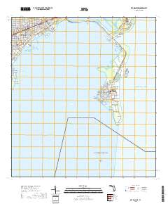
Layered geospatial PDF 7.5 Minute Quadrangle Map. Layers of geospatial data include orthoimagery, roads, grids, geographic names, elevation contours, hydrography, and other selected map features. This map is derived from GIS (geospatial information system) data. It represents a repackaging of GIS data in traditional map form, not creation of new information. The geospatial data in this map are from selected National Map data holdings and other government sources.
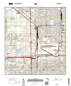
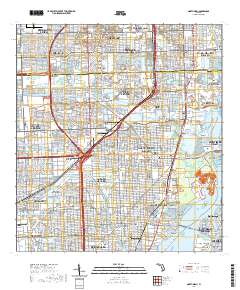
Layered geospatial PDF 7.5 Minute Quadrangle Map. Layers of geospatial data include orthoimagery, roads, grids, geographic names, elevation contours, hydrography, and other selected map features. This map is derived from GIS (geospatial information system) data. It represents a repackaging of GIS data in traditional map form, not creation of new information. The geospatial data in this map are from selected National Map data holdings and other government sources.
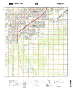
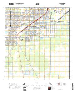
Layered geospatial PDF 7.5 Minute Quadrangle Map. Layers of geospatial data include orthoimagery, roads, grids, geographic names, elevation contours, hydrography, and other selected map features. This map is derived from GIS (geospatial information system) data. It represents a repackaging of GIS data in traditional map form, not creation of new information. The geospatial data in this map are from selected National Map data holdings and other government sources.
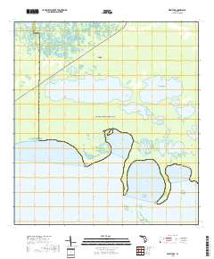
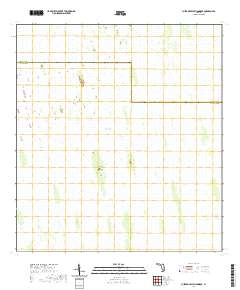
Layered geospatial PDF 7.5 Minute Quadrangle Map. Layers of geospatial data include orthoimagery, roads, grids, geographic names, elevation contours, hydrography, and other selected map features. This map is derived from GIS (geospatial information system) data. It represents a repackaging of GIS data in traditional map form, not creation of new information. The geospatial data in this map are from selected National Map data holdings and other government sources.
Layered geospatial PDF 7.5 Minute Quadrangle Map. Layers of geospatial data include orthoimagery, roads, grids, geographic names, elevation contours, hydrography, and other selected map features. This map is derived from GIS (geospatial information system) data. It represents a repackaging of GIS data in traditional map form, not creation of new information. The geospatial data in this map are from selected National Map data holdings and other government sources.
Layered geospatial PDF 7.5 Minute Quadrangle Map. Layers of geospatial data include orthoimagery, roads, grids, geographic names, elevation contours, hydrography, and other selected map features. This map is derived from GIS (geospatial information system) data. It represents a repackaging of GIS data in traditional map form, not creation of new information. The geospatial data in this map are from selected National Map data holdings and other government sources.
Layered geospatial PDF 7.5 Minute Quadrangle Map. Layers of geospatial data include orthoimagery, roads, grids, geographic names, elevation contours, hydrography, and other selected map features. This map is derived from GIS (geospatial information system) data. It represents a repackaging of GIS data in traditional map form, not creation of new information. The geospatial data in this map are from selected National Map data holdings and other government sources.
Layered geospatial PDF 7.5 Minute Quadrangle Map. Layers of geospatial data include orthoimagery, roads, grids, geographic names, elevation contours, hydrography, and other selected map features. This map is derived from GIS (geospatial information system) data. It represents a repackaging of GIS data in traditional map form, not creation of new information. The geospatial data in this map are from selected National Map data holdings and other government sources.
U.S. Geological Survey, in cooperation with Miami-Dade County, performed a sequential, aquifer stress test from August 15 to October 12, 2011, on the Floridan aquifer system at the North District Wastewater Treatment Plant, in Miami-Dade County, Florida. Miami-Dade County stressed the Floridan aquifer system with four municipal injection wells at the North District Wastewater Treatment Plant. Injection wells IW–1, IW–3, and IW–4 stressed the aquifer system with injection of as much as 1.8 cubic meters of effluent per second. Injection well IW–2 stressed the aquifer system with pressure release from the injection zone, caused by reverse flow of as much as 0.04 cubic meters of formation fluid mixed with effluent...
This data release provides flooding extent polygons based on wave-driven total water levels for the coral lined coast of Florida and the Commonwealth of Puerto Rico. The wave and sea-level conditions were then propagated using the XBeach over 100-m spaced shore-normal transects modified to account for base and post-storm scenarios. In situ observations following hurricanes Irma and Maria were used to create classifications of impact level to reefs where 0 = no impact, 0 - 0.05 = minor impact, 0.05 - 0.15 = moderate impact, and 0.15 - 1.00 = major impact. Categories were converted into numeric values of 0, 1, 2, and 3 that corresponded with the none, minor, moderate, and major damage category, respectively. These...
Synthetic seismograms provide a means to calibrate (groundtruth) seismic-reflection profiles to specific subsurface stratigraphic features observed in one-dimensional core and geophysical log data acquired from wells. Independently, Walker Marine Geophysical Company and Geokinetics Incorporated used velocity data from 14 borehole-compensated sonic logs as input for specialized geophysical software to generate 14 synthetic seismograms. Velocity data from the sonic logs were converted to a synthetic seismic trace using synthetic-seismogram production software, reproduced either 5 or 8 times, and placed side-by-side to resemble a seismic-reflection profile. For each well, the synthetic seismogram was used to relate...
The data set consists of text files used to create the synthetic seismogram - City of Fort Lauderdale, FTL-I5, (IW-5), Broward County, Florida.
Categories: Data;
Types: Citation;
Tags: Broward County,
Miami-Dade County,
USA,
United States,
data preservation,
Statistical analyses and maps representing mean, high, and low water-level conditions in the surface water and groundwater of Miami-Dade County were made by the U.S. Geological Survey, in cooperation with the Miami-Dade County Department of Regulatory and Economic Resources, to help inform decisions necessary for urban planning and development. Sixteen maps were created that show contours of (1) the mean of daily water levels at each site during October and May for the 2000-2009 water years; (2) the 25th, 50th, and 75th percentiles of the daily water levels at each site during October and May and for all months during 2000-2009; and (3) the differences between mean October and May water levels, as well as the differences...
Categories: Data;
Types: Downloadable,
Map Service,
OGC WFS Layer,
OGC WMS Layer,
Shapefile;
Tags: Biscayne Bay,
Biscayne aquifer,
Florida,
Florida Bay,
Miami-Dade County,
Time series electromagnetic induction-log (TSEMIL) datasets are collected from polyvinyl chloride (PVC) cased or uncased monitoring wells to evaluate changes in water conductivity over time. TSEMIL datasets consist of a series of individual electromagnetic induction logs collected at a frequency of months or years that have been compiled into a dataset by eliminating small uniform offsets in bulk conductivity between logs likely caused by minor variations in calibration. At depths where water conductivity is not changing through time, each log is typically within about ±15 mS/m of the median of the dataset at any given depth, which is within the stated repeatability specifications of the probe (Mount Sopris Instrument...
Layered geospatial PDF 7.5 Minute Quadrangle Map. Layers of geospatial data include orthoimagery, roads, grids, geographic names, elevation contours, hydrography, and other selected map features. This map is derived from GIS (geospatial information system) data. It represents a repackaging of GIS data in traditional map form, not creation of new information. The geospatial data in this map are from selected National Map data holdings and other government sources.
Layered geospatial PDF 7.5 Minute Quadrangle Map. Layers of geospatial data include orthoimagery, roads, grids, geographic names, elevation contours, hydrography, and other selected map features. This map is derived from GIS (geospatial information system) data. It represents a repackaging of GIS data in traditional map form, not creation of new information. The geospatial data in this map are from selected National Map data holdings and other government sources.
Layered geospatial PDF 7.5 Minute Quadrangle Map. Layers of geospatial data include orthoimagery, roads, grids, geographic names, elevation contours, hydrography, and other selected map features. This map is derived from GIS (geospatial information system) data. It represents a repackaging of GIS data in traditional map form, not creation of new information. The geospatial data in this map are from selected National Map data holdings and other government sources.
Layered geospatial PDF 7.5 Minute Quadrangle Map. Layers of geospatial data include orthoimagery, roads, grids, geographic names, elevation contours, hydrography, and other selected map features. This map is derived from GIS (geospatial information system) data. It represents a repackaging of GIS data in traditional map form, not creation of new information. The geospatial data in this map are from selected National Map data holdings and other government sources.
Layered geospatial PDF 7.5 Minute Quadrangle Map. Layers of geospatial data include orthoimagery, roads, grids, geographic names, elevation contours, hydrography, and other selected map features. This map is derived from GIS (geospatial information system) data. It represents a repackaging of GIS data in traditional map form, not creation of new information. The geospatial data in this map are from selected National Map data holdings and other government sources.
The primary goal of the Comprehensive Everglades Restoration Plan is to restore natural water flow through the Everglades. An approach known as decompartmentalization, which involves the removal of levees, canals, and other barriers to flow, has been suggested to aid in the restoration. In the region known as Water Conservation Area 3 (WCA-3), the L-67A and L-67C canals and levees, which bisect WCA-3 into WCA-3A to the north and WCA-3B to the south, are major barriers to natural flow. A test project for the decompartmentalization of WCA-3 has been initiated through the WCA-3 Decompartmentalization and Sheetflow Enhancement Physical Model (DPM). This flow-release test involves reconnecting WCA-3A and WCA-3B through...
Categories: Data;
Tags: Hydrology,
Hydrology,
Miami-Dade County,
The Everglades,
USGS Science Data Catalog (SDC),
|

|
