Filters: Tags: Miami-Dade County (X)
154 results (65ms)|
Filters
Date Range
Extensions Types
Contacts
Categories Tag Types Tag Schemes |
This data release presents projected flooding extent polygon (flood masks) shapefiles based on wave-driven total water levels for the State Florida (the Florida Peninsula and the Florida Keys). There are 12 associated flood mask shapefiles: one for each of four nearshore wave energy return periods (rp; 10-, 50-, 100-, and 500-years), the current scenario (base) and each of the degradation scenarios (Mean Elevation and Mean Erosion). These data accompany: Storlazzi, C.D., Reguero, B.G., Yates, K.K., Cumming, K.A., Cole, A.D., Shope, J.A., Gaido L., C., Zawada, D.G., Arsenault, S.R., Fehr, Z.W., Nickel, B.A., and Beck, M.W., 2021, Rigorously valuing the impact of projected coral reef degradation on coastal hazard...
The U.S. Geological Survey (USGS), in cooperation with Miami-Dade County, mapped the approximate inland extent of saltwater intrusion in eastern Miami-Dade County in 2018. This approximation required acquisition and compilation of relevant data collected by the organizations: Florida Department of Environmental Protection (FDEP), Florida Keys Aqueduct Authority (FKAA), Florida Power & Light Company (FPL), MacVicar Consulting Inc., Miami-Dade County Regulatory and Economic Resources (MD-RER), the South Florida Water Management District (SFWMD), and the USGS. Data from the selected monitoring wells were entered into a geographic information system (GIS) for analysis and mapping. The approximate saltwater interface...
Statistical analyses and maps representing mean, high, and low water-level conditions in the surface water and groundwater of Miami-Dade County were made by the U.S. Geological Survey, in cooperation with the Miami-Dade County Department of Regulatory and Economic Resources, to help inform decisions necessary for urban planning and development. Sixteen maps were created that show contours of (1) the mean of daily water levels at each site during October and May for the 2000-2009 water years; (2) the 25th, 50th, and 75th percentiles of the daily water levels at each site during October and May and for all months during 2000-2009; and (3) the differences between mean October and May water levels, as well as the differences...
Categories: Data;
Types: Downloadable,
Map Service,
OGC WFS Layer,
OGC WMS Layer,
Shapefile;
Tags: Biscayne Bay,
Biscayne aquifer,
Florida,
Florida Bay,
Miami-Dade County,
Statistical analyses and maps representing mean, high, and low water-level conditions in the surface water and groundwater of Miami-Dade County were made by the U.S. Geological Survey, in cooperation with the Miami-Dade County Department of Regulatory and Economic Resources, to help inform decisions necessary for urban planning and development. Sixteen maps were created that show contours of (1) the mean of daily water levels at each site during October and May for the 2000-2009 water years; (2) the 25th, 50th, and 75th percentiles of the daily water levels at each site during October and May and for all months during 2000-2009; and (3) the differences between mean October and May water levels, as well as the differences...
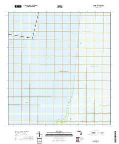
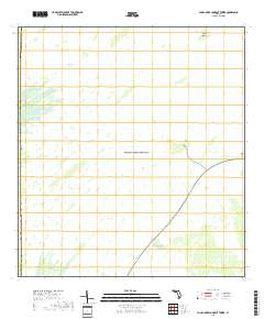
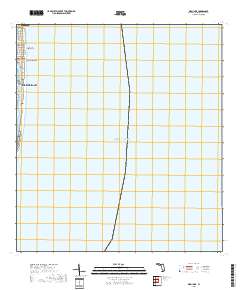
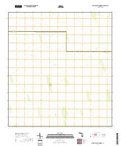
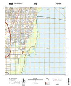
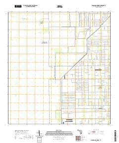
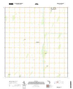
Layered geospatial PDF 7.5 Minute Quadrangle Map. Layers of geospatial data include orthoimagery, roads, grids, geographic names, elevation contours, hydrography, and other selected map features. This map is derived from GIS (geospatial information system) data. It represents a repackaging of GIS data in traditional map form, not creation of new information. The geospatial data in this map are from selected National Map data holdings and other government sources.
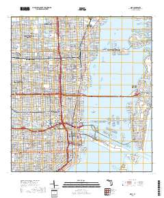
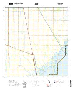
Layered geospatial PDF 7.5 Minute Quadrangle Map. Layers of geospatial data include orthoimagery, roads, grids, geographic names, elevation contours, hydrography, and other selected map features. This map is derived from GIS (geospatial information system) data. It represents a repackaging of GIS data in traditional map form, not creation of new information. The geospatial data in this map are from selected National Map data holdings and other government sources.
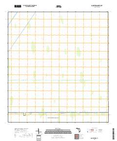
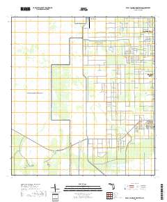
Layered geospatial PDF 7.5 Minute Quadrangle Map. Layers of geospatial data include orthoimagery, roads, grids, geographic names, elevation contours, hydrography, and other selected map features. This map is derived from GIS (geospatial information system) data. It represents a repackaging of GIS data in traditional map form, not creation of new information. The geospatial data in this map are from selected National Map data holdings and other government sources.
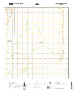
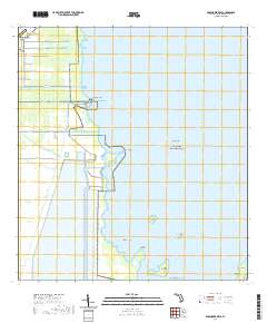
Layered geospatial PDF 7.5 Minute Quadrangle Map. Layers of geospatial data include orthoimagery, roads, grids, geographic names, elevation contours, hydrography, and other selected map features. This map is derived from GIS (geospatial information system) data. It represents a repackaging of GIS data in traditional map form, not creation of new information. The geospatial data in this map are from selected National Map data holdings and other government sources.
Layered geospatial PDF 7.5 Minute Quadrangle Map. Layers of geospatial data include orthoimagery, roads, grids, geographic names, elevation contours, hydrography, and other selected map features. This map is derived from GIS (geospatial information system) data. It represents a repackaging of GIS data in traditional map form, not creation of new information. The geospatial data in this map are from selected National Map data holdings and other government sources.
Layered geospatial PDF 7.5 Minute Quadrangle Map. Layers of geospatial data include orthoimagery, roads, grids, geographic names, elevation contours, hydrography, and other selected map features. This map is derived from GIS (geospatial information system) data. It represents a repackaging of GIS data in traditional map form, not creation of new information. The geospatial data in this map are from selected National Map data holdings and other government sources.
Layered geospatial PDF 7.5 Minute Quadrangle Map. Layers of geospatial data include orthoimagery, roads, grids, geographic names, elevation contours, hydrography, and other selected map features. This map is derived from GIS (geospatial information system) data. It represents a repackaging of GIS data in traditional map form, not creation of new information. The geospatial data in this map are from selected National Map data holdings and other government sources.
Layered geospatial PDF 7.5 Minute Quadrangle Map. Layers of geospatial data include orthoimagery, roads, grids, geographic names, elevation contours, hydrography, and other selected map features. This map is derived from GIS (geospatial information system) data. It represents a repackaging of GIS data in traditional map form, not creation of new information. The geospatial data in this map are from selected National Map data holdings and other government sources.
Layered geospatial PDF 7.5 Minute Quadrangle Map. Layers of geospatial data include orthoimagery, roads, grids, geographic names, elevation contours, hydrography, and other selected map features. This map is derived from GIS (geospatial information system) data. It represents a repackaging of GIS data in traditional map form, not creation of new information. The geospatial data in this map are from selected National Map data holdings and other government sources.
Layered geospatial PDF 7.5 Minute Quadrangle Map. Layers of geospatial data include orthoimagery, roads, grids, geographic names, elevation contours, hydrography, and other selected map features. This map is derived from GIS (geospatial information system) data. It represents a repackaging of GIS data in traditional map form, not creation of new information. The geospatial data in this map are from selected National Map data holdings and other government sources.

A three-dimensional, surface-water/groundwater model (MODFLOW-NWT with the Surface-Water Routing Process) was developed to the predict the effects of groundwater pumpage on canal leakage and regional groundwater flow in urban portions of Miami-Dade County, Florida. The model was calibrated by using observation data collected from 1997 through 2004. The model calibration was verified using observation data collected from 2005 through 2010. The model is designed to simulate surface-water stage and discharge in the managed canal system and dynamic canal leakage to the Biscayne aquifer as well as seepage to the canal from the aquifer. The model was used to evaluate the effect of increased groundwater pumpage and (or)...
Statistics of daily water levels recorded during the 1990—2009 water years used to create maps of the water table in Miami-Dade County, Florida. [USGS, U.S. Geological Survey; All data adjusted to the North American Vertical Datum of 1988 (NAVD 88). Latitude and longitude are in decimal degrees. See appendix 8 for index map]
Categories: Data;
Types: Citation;
Tags: Biscayne Bay,
Biscayne aquifer,
Contours,
Florida,
Inland Waters,
Time series electromagnetic-induction log (TSEMIL) datasets are collected from PVC cased or uncased monitoring wells to evaluate changes in water conductivity over time. TSEMIL datasets consist of a series of individual electromagnetic-induction logs collected at a frequency of months or years that have been compiled into a dataset by eliminating small uniform offsets in bulk conductivity between logs likely caused by minor variations in calibration. At depths where water conductivity is not changing through time, each log is typically within about ±15 mS/m of the median of the dataset at any given depth, which is within the stated repeatability specifications of the probe (Mount Sopris Instrument Co., Inc.,...
Categories: Data;
Types: Citation;
Tags: Biscayne Bay,
Biscayne aquifer,
Broward County,
Bulk conductivity,
Florida,
Layered geospatial PDF 7.5 Minute Quadrangle Map. Layers of geospatial data include orthoimagery, roads, grids, geographic names, elevation contours, hydrography, and other selected map features. This map is derived from GIS (geospatial information system) data. It represents a repackaging of GIS data in traditional map form, not creation of new information. The geospatial data in this map are from selected National Map data holdings and other government sources.
Layered geospatial PDF 7.5 Minute Quadrangle Map. Layers of geospatial data include orthoimagery, roads, grids, geographic names, elevation contours, hydrography, and other selected map features. This map is derived from GIS (geospatial information system) data. It represents a repackaging of GIS data in traditional map form, not creation of new information. The geospatial data in this map are from selected National Map data holdings and other government sources.
Layered geospatial PDF 7.5 Minute Quadrangle Map. Layers of geospatial data include orthoimagery, roads, grids, geographic names, elevation contours, hydrography, and other selected map features. This map is derived from GIS (geospatial information system) data. It represents a repackaging of GIS data in traditional map form, not creation of new information. The geospatial data in this map are from selected National Map data holdings and other government sources.
|

|
