Filters: Tags: Minnesota (X) > Date Range: {"choice":"year"} (X) > Types: Citation (X)
14 results (18ms)|
Filters
Date Types (for Date Range)
Types
Contacts
Categories Tag Types
|

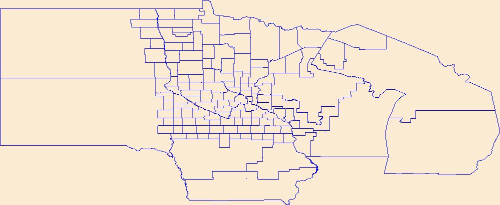
Layers of geospatial data include contours, boundaries, land cover, hydrography, roads, transportation, geographic names, structures, and other selected map features.
Types: Citation;
Tags: 7.5 x 7.5 minute,
7_5_Min,
Combined Vector,
Combined Vector,
Combined Vector,
Geospatial data is comprised of government boundaries.

Layers of geospatial data include contours, boundaries, land cover, hydrography, roads, transportation, geographic names, structures, and other selected map features.
Comprehensive wetland inventories are an essential tool for wetland management, but developing and maintaining an inventory is expensive and technically challenging. Funding for these efforts has also been problematic. Here we describe a large-area application of a semi-automated processused to update a wetland inventory for east-central Minnesota. The original inventory for this area was the product of a laborintensive, manual photo-interpretation process. The present application incorporated high resolution, multi-spectral imagery from multiple seasons; high resolution elevation data derived from lidar; satellite radar imagery; and other GIS data. Map production combined image segmentation and random forest classification...
Categories: Data,
Publication;
Types: Citation,
Map Service,
OGC WFS Layer,
OGC WMS Layer,
OGC WMS Service;
Tags: 2010,
2010,
2011,
2011,
2012,
This CSV file contains 21 dam metrics representing stream fragmentation and flow alteration for nearly 2.3 million stream reaches in the conterminous USA. Dam metrics fall into four main categories: segment-based, count and density, distance-based, and cumulative reservoir storage (described below). These data were developed using spatially verified large dam locations (n=49,468) primarily from the National Anthropogenic Barrier Dataset (NABD) that were spatially linked to the National Hydrography Dataset Plus version 1 (NHDPlusV1). These dam metrics have been summarized using the unique identifier field native to the NHDPlusV1 (COMID) which can be used to join this table to spatial layers and data tables of the...
Categories: Data;
Types: Citation;
Tags: 2015 National Assessment,
2015 National Assessment,
2015 National Assessment,
Alabama,
Arizona,
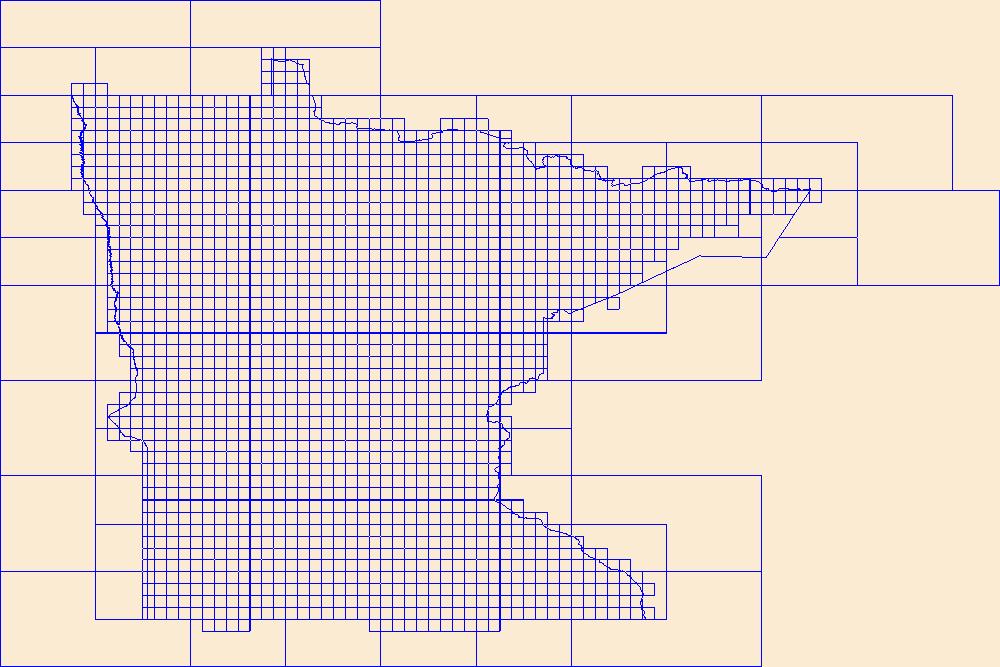
This data represents the map extent for current and historical USGS topographic maps for the United States and Territories, including 1 X 2 Degree, 1 X 1 Degree, 30 X 60 Minute, 15 X 15 Minute, 7.5 X 7.5 Minute, and 3.75 X 3.75 Minute. The grid was generated using ESRI ArcInfo GIS software.
Chronic Wasting Disease distribution in the United States by state and county (ver. 2.0, April 2024)
Chronic Wasting Disease (CWD) is a fatal, contagious, neuro-degenerative disease affecting multiple members of the Family Cervidae. First detected in 1967, the disease has, as of April 2024, been documented in free-ranging and/or captive cervid populations in 33 states, five Canadian provinces, the Republic of South Korea, Norway, Sweden, and Finland. The data provided here contains information on the known, available, documented distribution of CWD in the United States that is current as of the publication date. The USGS National Wildlife Health Center (NWHC) tracks changes to the known distribution of CWD in the form of a map (available on the NWHC website at https://www.usgs.gov/centers/nwhc/science/expanding-distribution-chronic-wasting-disease....
Categories: Data,
Data Release - Revised;
Types: Citation;
Tags: Alabama,
Alaska,
American Samoa,
Arizona,
Arkansas,

Layers of geospatial data include contours, boundaries, land cover, hydrography, roads, transportation, geographic names, structures, and other selected map features.
Types: Citation;
Tags: 7.5 x 7.5 minute,
7_5_Min,
Combined Vector,
Combined Vector,
Combined Vector,

Layers of geospatial data include contours, boundaries, land cover, hydrography, roads, transportation, geographic names, structures, and other selected map features.
Types: Citation;
Tags: 7.5 x 7.5 minute,
7_5_Min,
Combined Vector,
Combined Vector,
Combined Vector,
Layers of geospatial data include contours, boundaries, land cover, hydrography, roads, transportation, geographic names, structures, and other selected map features.
MARIS is an internet-based information sharing network that allows multiple states to provide a common set of variables via a single web interface. MARIS is not a “dataset” but rather links specific content of multiple states’ datasets. MARIS does not capture all of the information from a state’s aquatic dataset – only a subset of data collected as part of aquatic species sampling surveys. The MARIS structure was developed by a consortium of state fish and wildlife agencies and implemented through contracts with various universities. In the past, federal agency partners have provided the core funding for developing and implementing MARIS as well as broad guidance on the content of the system. In 2014 the U.S. Geological...
Categories: Data;
Types: ArcGIS REST Map Service,
ArcGIS Service Definition,
Citation,
Downloadable,
Map Service;
Tags: Abundance (organisms),
Alabama,
Arkansas,
Biological Data,
Biological sampling,
Layers of geospatial data include contours, boundaries, land cover, hydrography, roads, transportation, geographic names, structures, and other selected map features.
Types: Citation;
Tags: 7.5 x 7.5 minute,
7_5_Min,
Combined Vector,
Combined Vector,
Combined Vector,
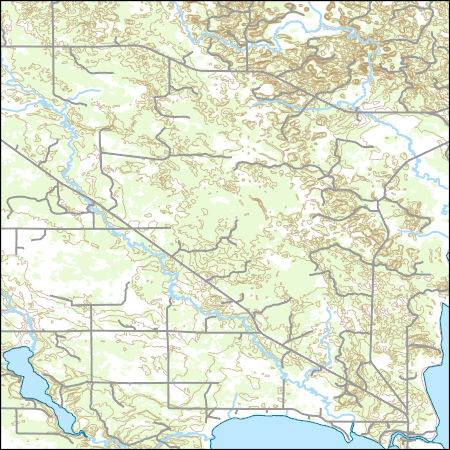
Layers of geospatial data include contours, boundaries, land cover, hydrography, roads, transportation, geographic names, structures, and other selected map features.
Types: Citation;
Tags: 7.5 x 7.5 minute,
7_5_Min,
Combined Vector,
Combined Vector,
Combined Vector,
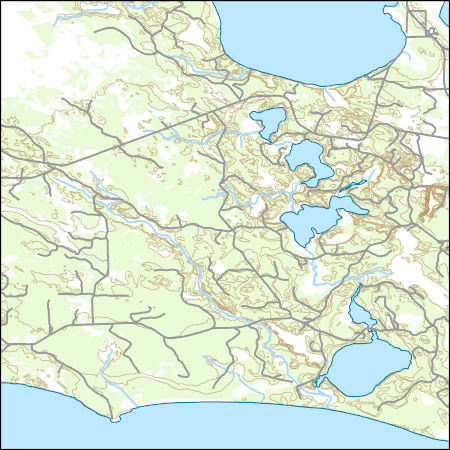
Layers of geospatial data include contours, boundaries, land cover, hydrography, roads, transportation, geographic names, structures, and other selected map features.
Types: Citation;
Tags: 7.5 x 7.5 minute,
7_5_Min,
Combined Vector,
Combined Vector,
Combined Vector,
|

|
