Filters: Tags: Mississippi (X) > Date Range: {"choice":"month"} (X)
10 results (49ms)|
Filters
Date Types (for Date Range)
Contacts
Categories Tag Types Tag Schemes |
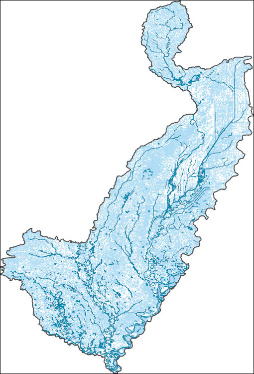
The High Resolution National Hydrography Dataset Plus (NHDPlus HR) is an integrated set of geospatial data layers, including the best available National Hydrography Dataset (NHD), the 10-meter 3D Elevation Program Digital Elevation Model (3DEP DEM), and the National Watershed Boundary Dataset (WBD). The NHDPlus HR combines the NHD, 3DEP DEMs, and WBD to create a stream network with linear referencing, feature naming, "value added attributes" (VAAs), elevation-derived catchments, and other features for hydrologic data analysis. The stream network with linear referencing is a system of data relationships applied to hydrographic systems so that one stream reach "flows" into another and "events" can be tied to and traced...
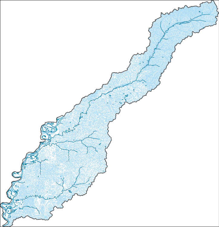
The High Resolution National Hydrography Dataset Plus (NHDPlus HR) is an integrated set of geospatial data layers, including the best available National Hydrography Dataset (NHD), the 10-meter 3D Elevation Program Digital Elevation Model (3DEP DEM), and the National Watershed Boundary Dataset (WBD). The NHDPlus HR combines the NHD, 3DEP DEMs, and WBD to create a stream network with linear referencing, feature naming, "value added attributes" (VAAs), elevation-derived catchments, and other features for hydrologic data analysis. The stream network with linear referencing is a system of data relationships applied to hydrographic systems so that one stream reach "flows" into another and "events" can be tied to and traced...
Note: this data release is currently being revised and is temporarily unavailable. This data release is a compilation of the locations of airborne geophysical surveys in the United States. The inventory documents public airborne geophysical surveys primarily flown by or contracted by the USGS from 1943 to present. In addition, surveys from the State of Alaska, Department of Natural Resources, Division of Geological and Geophysical Surveys (DGGS): Airborne GeophysWeb, the Bureau of Land Management, the Department of Energy and other state agencies have also been included. The surveys have contributed to studies under USGS programs including Water, Geologic Mapping, Minerals, Energy, Environmental Health, Ecosystems,...
Categories: Data,
Data Release - Under Revision;
Types: ArcGIS REST Map Service,
ArcGIS Service Definition,
Downloadable,
Map Service;
Tags: Alabama,
Alaska,
Arizona,
Arkansas,
California,
Chronic Wasting Disease distribution in the United States by state and county (ver. 2.0, April 2024)
Chronic Wasting Disease (CWD) is a fatal, contagious, neuro-degenerative disease affecting multiple members of the Family Cervidae. First detected in 1967, the disease has, as of April 2024, been documented in free-ranging and/or captive cervid populations in 33 states, five Canadian provinces, the Republic of South Korea, Norway, Sweden, and Finland. The data provided here contains information on the known, available, documented distribution of CWD in the United States that is current as of the publication date. The USGS National Wildlife Health Center (NWHC) tracks changes to the known distribution of CWD in the form of a map (available on the NWHC website at https://www.usgs.gov/centers/nwhc/science/expanding-distribution-chronic-wasting-disease....
Categories: Data,
Data Release - Revised;
Types: Citation;
Tags: Alabama,
Alaska,
American Samoa,
Arizona,
Arkansas,
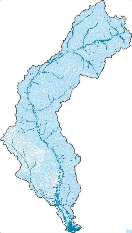
The High Resolution National Hydrography Dataset Plus (NHDPlus HR) is an integrated set of geospatial data layers, including the best available National Hydrography Dataset (NHD), the 10-meter 3D Elevation Program Digital Elevation Model (3DEP DEM), and the National Watershed Boundary Dataset (WBD). The NHDPlus HR combines the NHD, 3DEP DEMs, and WBD to create a stream network with linear referencing, feature naming, "value added attributes" (VAAs), elevation-derived catchments, and other features for hydrologic data analysis. The stream network with linear referencing is a system of data relationships applied to hydrographic systems so that one stream reach "flows" into another and "events" can be tied to and traced...
This dataset contains site information and results of flood-frequency analysis for 139 urban streamflow gaging stations (streamgages) operated by the U.S. Geological Survey (USGS) in Tennessee and parts of Alabama, Georgia, Mississippi, North Carolina, and South Carolina. Developed imperviousness in the basins, based on the 2011 National Land Cover Database, was at least 10 percent (Homer and others, 2015). Drainage areas of the streamgage basins ranged from 0.15 - 161 square miles. Annual peak-flow data from the 1947 - 2022 water years were used in the study (U.S. Geological Survey, 2024). Peak-flow (.pkf), specification (.psf), output (.PRT), and export (.EXP) files from flood-frequency analysis in USGS PeakFQ...
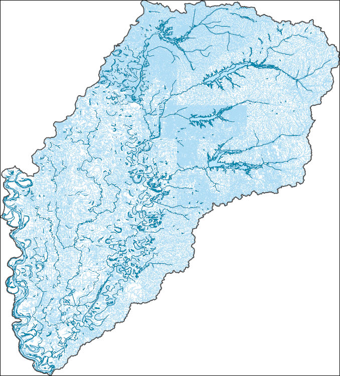
The High Resolution National Hydrography Dataset Plus (NHDPlus HR) is an integrated set of geospatial data layers, including the best available National Hydrography Dataset (NHD), the 10-meter 3D Elevation Program Digital Elevation Model (3DEP DEM), and the National Watershed Boundary Dataset (WBD). The NHDPlus HR combines the NHD, 3DEP DEMs, and WBD to create a stream network with linear referencing, feature naming, "value added attributes" (VAAs), elevation-derived catchments, and other features for hydrologic data analysis. The stream network with linear referencing is a system of data relationships applied to hydrographic systems so that one stream reach "flows" into another and "events" can be tied to and traced...
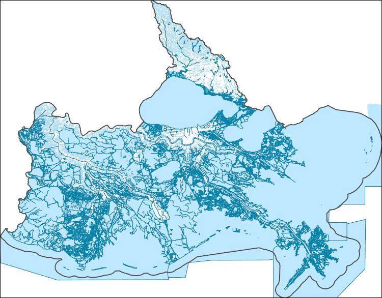
The High Resolution National Hydrography Dataset Plus (NHDPlus HR) is an integrated set of geospatial data layers, including the best available National Hydrography Dataset (NHD), the 10-meter 3D Elevation Program Digital Elevation Model (3DEP DEM), and the National Watershed Boundary Dataset (WBD). The NHDPlus HR combines the NHD, 3DEP DEMs, and WBD to create a stream network with linear referencing, feature naming, "value added attributes" (VAAs), elevation-derived catchments, and other features for hydrologic data analysis. The stream network with linear referencing is a system of data relationships applied to hydrographic systems so that one stream reach "flows" into another and "events" can be tied to and traced...
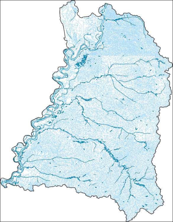
The High Resolution National Hydrography Dataset Plus (NHDPlus HR) is an integrated set of geospatial data layers, including the best available National Hydrography Dataset (NHD), the 10-meter 3D Elevation Program Digital Elevation Model (3DEP DEM), and the National Watershed Boundary Dataset (WBD). The NHDPlus HR combines the NHD, 3DEP DEMs, and WBD to create a stream network with linear referencing, feature naming, "value added attributes" (VAAs), elevation-derived catchments, and other features for hydrologic data analysis. The stream network with linear referencing is a system of data relationships applied to hydrographic systems so that one stream reach "flows" into another and "events" can be tied to and traced...
The raw data files within the “Airborne electromagnetic, magnetic, and radiometric surveys of the Mississippi Alluvial Plain and Chicot Aquifer System, March 2018 and May - August 2021: Minimally Processed (Raw) Data” child item are broken up according to the three main objectives of these surveys: River surveys along the thalweg of major rivers within the MAP and the Chicot Aquifer extents; Levee surveys along the Mississippi and Arkansas rivers from Cairo, IL to Baton Rouge, LA and northwest from the confluence of the Mississippi and Arkansas rivers to Pine Bluff, AR; and gridded products mainly focused on gravel bars within the Mississippi River from Helena, MS to the confluence with the Arkansas River. The...
Categories: Data;
Tags: Arkansas,
Arkansas River,
Bayou Lacassine,
Bayou Teche,
Big Sunflower River,
|

|