Filters: Tags: National (X)
129 results (51ms)|
Filters
Date Range
Extensions
Types
Contacts
Categories Tag Types Tag Schemes
|
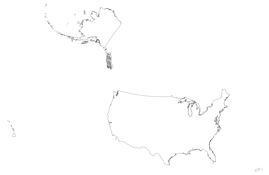
This map layer portrays the boundaries of the United States, Puerto Rico, and the U.S. Virgin Islands. The map layer was created by extracting county polygon features from the 2006 Census TIGER/Line files produced by the U.S. Census Bureau. These files were then merged into a single file and the county and State boundaries were dissolved, leaving the national boundary. This is a revised version of the July 2012 map layer.
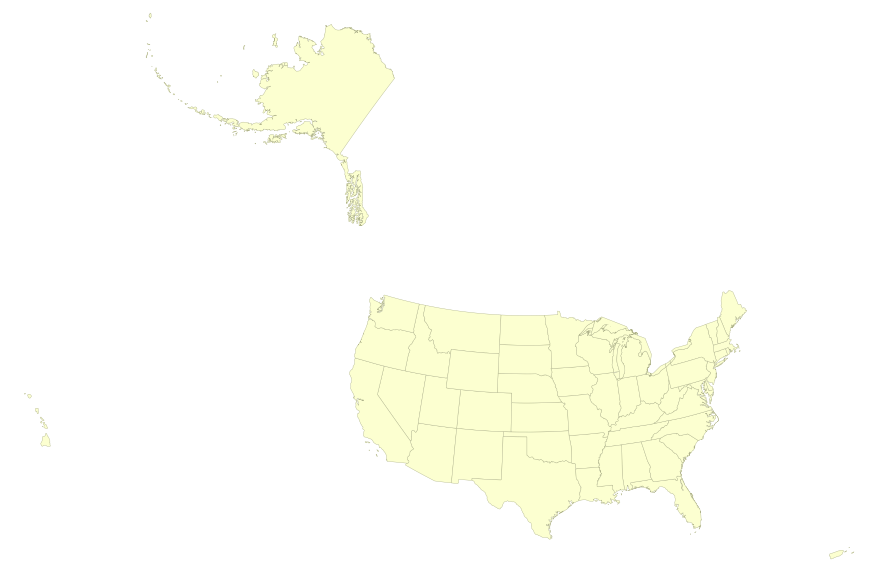
This map layer portrays the State boundaries of the United States, Puerto Rico, and the U.S. Virgin Islands. The map layer was created by extracting county polygon features from the CENSUS 2006 TIGER/Line files produced by the U.S. Census Bureau. These files were then merged into a single file and county boundaries within States were removed. This is a revised version of the July 2012 map layer.
This paper introduces the special issue on Strategic Choices for Renewable Energy Investment, which is a collection of best papers presented at an international research conference held in St. Gallen (Switzerland) in February 2010. Substantial private investment is needed if public policy objectives to increase the share of renewable energy and prevent dangerous anthropogenic climate change are to be achieved. The aim of this paper, and the entire special issue, is to draw scholarly attention to the processes underlying strategic choices for renewable energy investment, and how they are influenced by energy policy. We disentangle the role of risk-return perceptions, portfolio effects and path dependence in explaining...
Categories: Publication;
Types: Citation;
Tags: Evaluating,
Strategic planning,
energy,
environmental,
impact,
In 1998, the Florida Fish and Wildlife Conservation Commission's (FWC) Fisheries Independent Monitoring (FIM) program began a long-term monitoring effort of key reef fish populations in the Florida Keys National Marine Sanctuary. This effort was aimed at evaluating the relative abundance, size structure, and habitat utilization of specific reef fish species that are targeted by commercial and recreational fisheries.; Smith, S.G., et al. 2011, Multispecies survey design for assessing reef-fish stocks, spatially explicit management performance, and ecosystem condition. Fisheries Research 109(2011)25-41; Brandt, M.E., et. al. 2009, A Cooperative Multi-agency Reef Fish Monitoring Protocol for the Florida Keys Coral...
Categories: Data;
Types: NetCDF OPeNDAP Service;
Tags: Florida Keys National Marine Sanctuaries Reef Fish Monitoring,
array,
array-data,
basis,
basisOfRecord,
USNG is standard that established a nationally consistent grid reference system. It provides a seamless plane coordinate system across jurisdictional boundaries and map scales; it enables precise position referencing with GPS, web map portals, and hardcopy maps. USNG enables a practical system of geoaddresses and a universal map index. This data resides in the GCS 1983 coordinate system and is most suitable for viewing over North America. For more information please visit http://www.fgdc.gov/usng
This dataset contains values that specify different types of exclusion/inclusion for OHV use. This was generated by attaching an attribute to the CBI PAD-US v1.1.
Types: Map Service,
OGC WFS Layer,
OGC WMS Layer,
OGC WMS Service;
Tags: English,
GIS,
US,
map,
national,
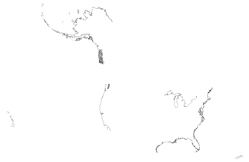
This map layer includes Global Map data showing the coastline of the United States, Puerto Rico, and the U.S. Virgin Islands. The United States shoreline of the Great Lakes is also included. The data are a modified version of the National Atlas of the United States 1:1,000,000-Scale Coastline of the United States.
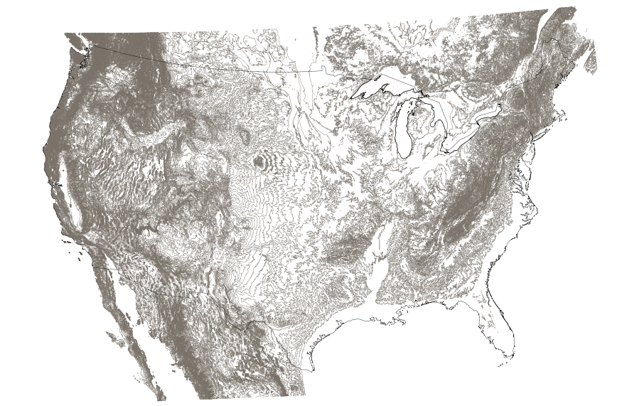
This map layer shows elevation contour lines for the conterminous United States. The map layer was derived from the 100-meter resolution elevation data set which is published by the National Atlas of the United States, and is in the same Albers Equal-area Conic projection as that source data set. Contour intervals match the steps used in the National Atlas Color-Sliced Elevation data sets. Contours were adjusted so that they are in the proper relationship to National Atlas 1:1,000,000-scale lakes, reservoirs, and wide (double-line) streams.

This map layer shows Indian lands of the United States. For the most part, only areas of 320 acres or more are included; some smaller areas deemed to be important or significant are also included. Federally-administered lands within a reservation are included for continuity; these may or may not be considered part of the reservation and are simply described with their feature type and the administrating Federal agency. Some established Indian lands which are larger than 320 acres are not included in this map layer because their boundaries were not available from the owning or administering agency.

This dataset depicts Critical Plant Habitat for sensitive species on the Klamath National Forest. Excerpt from Forest Plan: Klamath National Forest Land and Resource Management Plan July 1995 Management Area 5 - Special Habitat Calochortus persistens (Siskiyou mariposa lily) Description This 100-acre area consists of dry rocky outcroppings within the westside mixed conifer forest. The habitat for this State-listed Rare perennial species has been managed since 1982 under guidelines developed by the Forest in a species management guide. No other populations of this plant are known to exist on the Forest. Management Goals Maintain the currently known, and any newly discovered, Calochortus population's habitat in an...
The accuracy of hydraulic fracturing stress measurements depends strongly on an accurate interpretation of the fluid pressures recorded during the tests. However, a variety of factors can lead to indistinct instantaneous shut-in or fracture reopening pressures which contributes to uncertainties in the data interpretation. A complex hydrofrac data set from a 1.5 km deep wellbore at Moodus, Connecticut is used here to discuss an interactive system for analysis of pressure, injection rate and accumulated volume as well as the pressurization rate and stiffness of the hydraulic system at various stages of the experiment. The hydraulic fracturing data presented here require a particularly careful inspection of the pressure...
Categories: Publication;
Types: Citation;
Tags: International,
U.S.,
economic,
energy,
interdependency,
These layers represent the Public Land Survey System (PLSS) polygonal data that were joined to Rights-of-Way (ROW) tabular data queried from LR2000 on the highest resolution legal land description available. It contains the merged PLSS intersected feature class containing all aliquot parts for the LR2000 query dissolved on case serial numbers. LR2000 data without corresponding PLSS data will not yield geospatial data. Each of the four map layers represent 'AUTHORIZED', 'PENDING', 'CLOSED', & 'EXPIRED' case dispositions. The Not Matched Table show the unmatched records from the LR2000 to PLSS process described in the "ROW Data Processing Report". LR2000 data without corresponding legal land description PLSS data...

The High Resolution National Hydrography Dataset Plus (NHDPlus HR) is an integrated set of geospatial data layers, including the National Hydrography Dataset (NHD), National Watershed Boundary Dataset (WBD), and 3D Elevation Program Digital Elevation Model (3DEP DEM). The NHDPlus HR combines the NHD, 3DEP DEMs, and WBD to a data suite that includes the NHD stream network with linear referencing functionality, the WBD hydrologic units, elevation-derived catchment areas for each stream segment, "value added attributes" (VAAs), and other features that enhance hydrologic data analysis and routing.
In 1998, the Florida Fish and Wildlife Conservation Commission's (FWC) Fisheries Independent Monitoring (FIM) program began a long-term monitoring effort of key reef fish populations in the Florida Keys National Marine Sanctuary. This effort was aimed at evaluating the relative abundance, size structure, and habitat utilization of specific reef fish species that are targeted by commercial and recreational fisheries.; Smith, S.G., et al. 2011, Multispecies survey design for assessing reef-fish stocks, spatially explicit management performance, and ecosystem condition. Fisheries Research 109(2011)25-41; Brandt, M.E., et. al. 2009, A Cooperative Multi-agency Reef Fish Monitoring Protocol for the Florida Keys Coral...
Categories: Data;
Types: NetCDF OPeNDAP Service;
Tags: Florida Keys National Marine Sanctuaries Reef Fish Monitoring,
array,
array-data,
basis,
basisOfRecord,
The Geographic Names Information System (GNIS) is the Federal standard for geographic nomenclature. The U.S. Geological Survey developed the GNIS for the U.S. Board on Geographic Names, a Federal inter-agency body chartered by public law to maintain uniform feature name usage throughout the Government and to promulgate standard names to the public. The GNIS is the official repository of domestic geographic names data; the official vehicle for geographic names use by all departments of the Federal Government; and the source for applying geographic names to Federal electronic and printed products of all types.
NPS is transforming the way park resource information is managed and delivered to parks, partners, and the public. IRMA (Integrated Resource Management Applications) is the name given to the project that has guided this transformation, and to the web portal that is its end result. View or download the IRMA project brief (.pdf). IRMA is a portfolio of tools and applications, and the beginnings of a "one-stop" for data and information on park-related resources. From IRMA you can search for, view, and download documents, reports, publications, data sets, and park species lists. You can get information on park visitor numbers, park projects, and apply for a park research permit. Park staff can navigate to certain internal...
Categories: Data;
Types: ArcGIS REST Map Service,
Map Service,
OGC WFS Layer,
OGC WMS Layer,
OGC WMS Service;
Tags: Chihuahuan Desert,
English,
GIS,
Madrean,
Mojave Desert,
The LANDFIRE Data Distribution Site is the geospatial data gateway to search, browse, and download LANDFIRE data. The Data Distribution Site directs you to the LANDFIRE Viewer, where you can view the 30-meter resolution layers, metadata, and descriptions. This viewer provides assorted tools allowing the ability to interact and manipulate any data displayed within the viewer. Data extents are defined by dragging an extent or defining coordinates. All LANDFIRE data are free and available to everyone. The default download is an ESRI grid raster format with attributes and includes metadata in a zipped file. Options to specify different data formats and projections are available through the viewer's Modify Data Request...
Categories: Data;
Types: ArcGIS REST Map Service,
ArcGIS Service Definition,
Downloadable,
Map Service,
OGC WFS Layer,
OGC WMS Layer,
OGC WMS Service;
Tags: English,
GIS,
US,
agriculture,
development,
|

|
