Filters: Tags: Natrona County (X) > Date Range: {"choice":"year"} (X)
11 results (83ms)|
Filters
Date Types (for Date Range)
Types
Contacts
Categories Tag Types Tag Schemes |
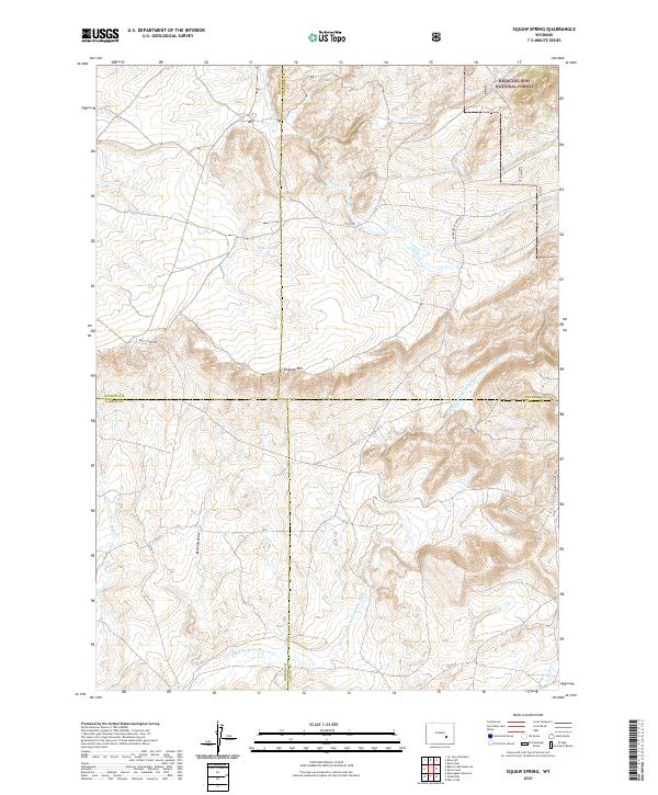
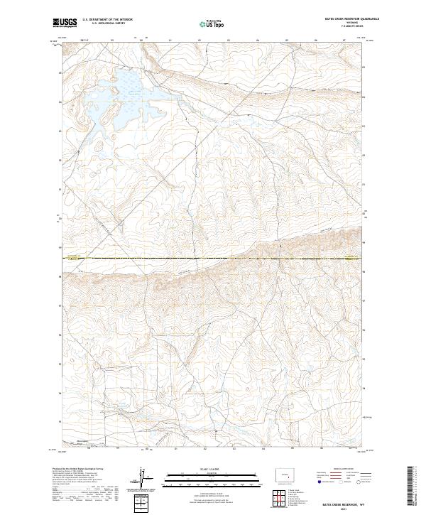
Layered geospatial PDF 7.5 Minute Quadrangle Map. Layers of geospatial data include orthoimagery, roads, grids, geographic names, elevation contours, hydrography, and other selected map features. This map is derived from GIS (geospatial information system) data. It represents a repackaging of GIS data in traditional map form, not creation of new information. The geospatial data in this map are from selected National Map data holdings and other government sources.
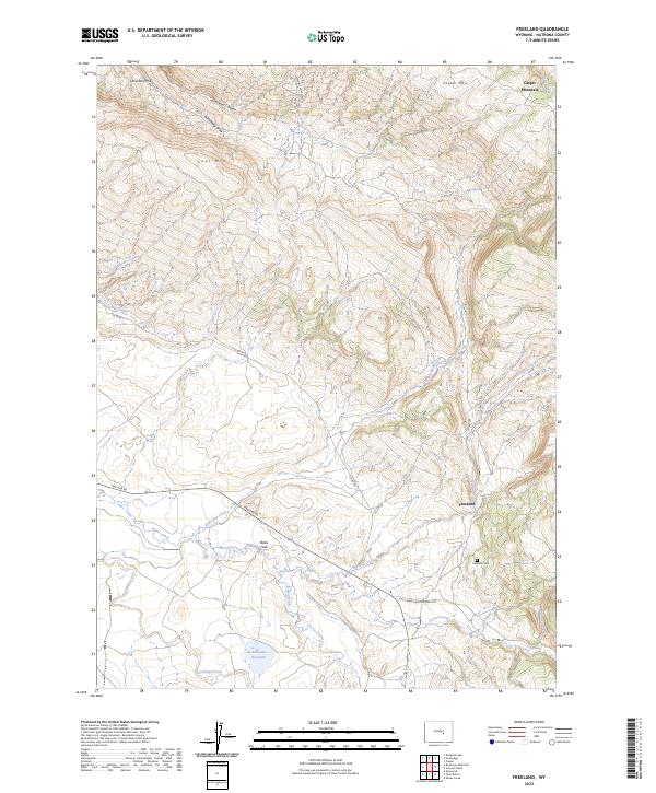
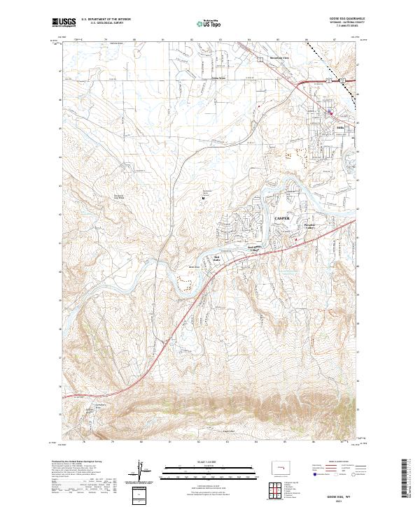
Layered geospatial PDF 7.5 Minute Quadrangle Map. Layers of geospatial data include orthoimagery, roads, grids, geographic names, elevation contours, hydrography, and other selected map features. This map is derived from GIS (geospatial information system) data. It represents a repackaging of GIS data in traditional map form, not creation of new information. The geospatial data in this map are from selected National Map data holdings and other government sources.
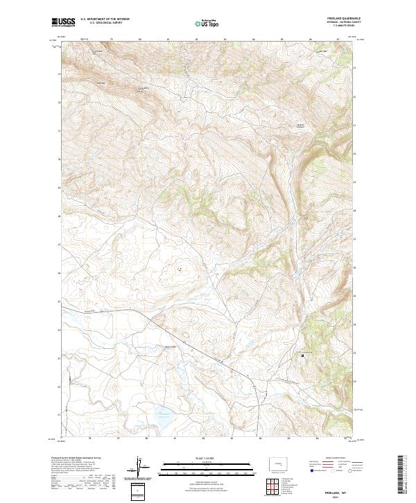
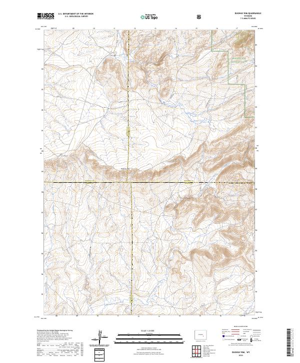
Layered geospatial PDF 7.5 Minute Quadrangle Map. Layers of geospatial data include orthoimagery, roads, grids, geographic names, elevation contours, hydrography, and other selected map features. This map is derived from GIS (geospatial information system) data. It represents a repackaging of GIS data in traditional map form, not creation of new information. The geospatial data in this map are from selected National Map data holdings and other government sources.
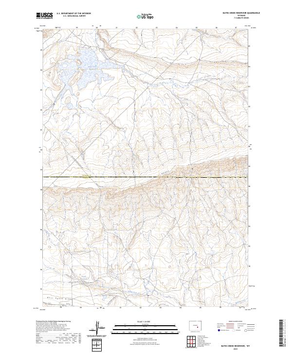
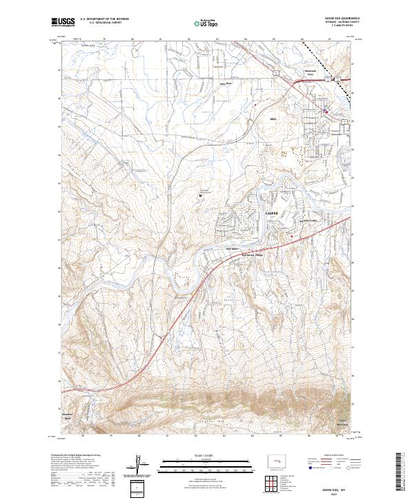
Layered geospatial PDF 7.5 Minute Quadrangle Map. Layers of geospatial data include orthoimagery, roads, grids, geographic names, elevation contours, hydrography, and other selected map features. This map is derived from GIS (geospatial information system) data. It represents a repackaging of GIS data in traditional map form, not creation of new information. The geospatial data in this map are from selected National Map data holdings and other government sources.
Layered geospatial PDF 7.5 Minute Quadrangle Map. Layers of geospatial data include orthoimagery, roads, grids, geographic names, elevation contours, hydrography, and other selected map features. This map is derived from GIS (geospatial information system) data. It represents a repackaging of GIS data in traditional map form, not creation of new information. The geospatial data in this map are from selected National Map data holdings and other government sources.
This data release provides digital flight line data for a high-resolution radiometric survey over the South Pass-Granite Mountains region in central Wyoming. The airborne survey was funded by the state of Wyoming, designed by the Wyoming State Geological Survey (WSGS), and contracted by the USGS. The survey is aligned with the Earth Mapping Resources Initiative and was designed to meet complementary needs related to geologic mapping and characterization of mineral resource potential. A total of 47,973.8 line km of radiometric data were acquired over an area of 8639 km2. Data were collected from a helicopter flown at a nominal terrain clearance of 100 meters (m) above topography along N-S flight lines spaced at 200...
Categories: Data;
Types: Downloadable,
GeoTIFF,
Map Service,
Raster;
Tags: AASG,
Aeroradiometric survey,
Airborne geophysical survey,
Alkali Creek,
Association of State Geologists,
Layered geospatial PDF 7.5 Minute Quadrangle Map. Layers of geospatial data include orthoimagery, roads, grids, geographic names, elevation contours, hydrography, and other selected map features. This map is derived from GIS (geospatial information system) data. It represents a repackaging of GIS data in traditional map form, not creation of new information. The geospatial data in this map are from selected National Map data holdings and other government sources.
Layered geospatial PDF 7.5 Minute Quadrangle Map. Layers of geospatial data include orthoimagery, roads, grids, geographic names, elevation contours, hydrography, and other selected map features. This map is derived from GIS (geospatial information system) data. It represents a repackaging of GIS data in traditional map form, not creation of new information. The geospatial data in this map are from selected National Map data holdings and other government sources.
Layered geospatial PDF 7.5 Minute Quadrangle Map. Layers of geospatial data include orthoimagery, roads, grids, geographic names, elevation contours, hydrography, and other selected map features. This map is derived from GIS (geospatial information system) data. It represents a repackaging of GIS data in traditional map form, not creation of new information. The geospatial data in this map are from selected National Map data holdings and other government sources.
This data release provides digital flight line data for a high-resolution airborne magnetic and radiometric survey over the South Pass-Granite Mountains region in central Wyoming. The airborne survey was funded by the state of Wyoming, designed by the Wyoming State Geological Survey (WSGS), and contracted by the USGS. The survey is aligned with the Earth Mapping Resources Initiative and was designed to meet complementary needs related to geologic mapping and characterization of mineral resource potential. A total of 47,973.8 line km of magnetic and radiometric data were acquired over an area of 8639 km. Data were collected from a helicopter flown at a nominal terrain clearance of 100 meters (m) above topography...
Categories: Data;
Types: Downloadable,
Map Service,
OGC WFS Layer,
OGC WMS Layer,
Shapefile;
Tags: AASG,
Aeromagnetic survey,
Aeroradiometric survey,
Airborne geophysical survey,
Alkali Creek,
This data release provides digital flight line data for a high-resolution airborne magnetic survey over the South Pass-Granite Mountains region in central Wyoming. The airborne survey was funded by the state of Wyoming, designed by the Wyoming State Geological Survey (WSGS), and contracted by the USGS. The survey is aligned with the Earth Mapping Resources Initiative and was designed to meet complementary needs related to geologic mapping and characterization of mineral resource potential. A total of 47,973.8 line km of magnetic and radiometric data were acquired over an area of 8639 km2. Data were collected from a helicopter flown at a nominal terrain clearance of 100 meters (m) above topography along N-S flight...
Categories: Data;
Types: Downloadable,
GeoTIFF,
Map Service,
Raster;
Tags: AASG,
Aeromagnetic survey,
Airborne geophysical survey,
Alkali Creek,
Association of State Geologists,
|

|
