Filters: Tags: Nebraska (X) > Date Range: {"choice":"year"} (X)
686 results (84ms)|
Filters
Date Types (for Date Range)
Types
Contacts
Categories
Tag Types
|
This dataset is a file of contour lines representing the estimated altitude of the water table in western Sarpy County. This dataset was developed as part of a cooperative study between the Papillion-Missouri River Natural Resources District (PMRNRD) and USGS which began in 2017. The goal of this study was to develop a hydrogeologic visualization model of western Sarpy County using GeoScene3D. In 2016, the PMRNRD contracted airborne electromagnetic surveys (AEM) of the area to be completed to better understand the stratigraphy and hydrogeology of the western Sarpy County area. The PMRNRD determined that they wanted to incorporate the AEM data into a visualization tool that would allow PMRNRD staff to easily interact...
Layers of geospatial data include contours, boundaries, land cover, hydrography, roads, transportation, geographic names, structures, and other selected map features.
The High Plains aquifer extends from approximately 32 to 44 degrees north latitude and 96 degrees 30 minutes to 106 degrees west longitude. The aquifer underlies about 175,000 square miles in parts of Colorado, Kansas, Nebraska, New Mexico, Oklahoma, South Dakota, Texas, and Wyoming. This digital dataset consists of a raster of water-level changes for the High Plains aquifer, predevelopment (about 1950) to 2019. It was created using water-level measurements from 2,741 wells measured in both the predevelopment period (about 1950) and in 2019, the latest available static water level measured in 2015 to 2018 from 71 wells in New Mexico and using other published information on water-level change in areas with few water-level...
Effective monitoring and prediction of flood and drought events requires an improved understanding of how and why surface-water expansion and contraction in response to climate varies across space. This paper sought to (1) quantify how interannual patterns of surface-water expansion and contraction vary spatially across the Prairie Pothole Region (PPR) and adjacent Northern Prairie (NP) in the United States, and (2) explore how landscape characteristics influence the relationship between climate inputs and surface-water dynamics. Due to differences in glacial history, the PPR and NP show distinct patterns in regards to drainage development and wetland density, together providing a diversity of conditions to examine...
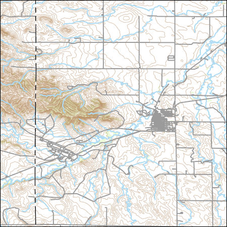
Layered geospatial PDF 7.5 Minute Quadrangle Map. Layers of geospatial data include orthoimagery, roads, grids, geographic names, elevation contours, hydrography, and other selected map features. This map is derived from GIS (geospatial information system) data. It represents a repackaging of GIS data in traditional map form, not creation of new information. The geospatial data in this map are from selected National Map data holdings and other government sources.

The Watershed Boundary Dataset (WBD) is a comprehensive aggregated collection of hydrologic unit data consistent with the national criteria for delineation and resolution. It defines the areal extent of surface water drainage to a point except in coastal or lake front areas where there could be multiple outlets as stated by the "Federal Standards and Procedures for the National Watershed Boundary Dataset (WBD)" "Standard" (https://pubs.usgs.gov/tm/11/a3/). Watershed boundaries are determined solely upon science-based hydrologic principles, not favoring any administrative boundaries or special projects, nor particular program or agency. This dataset represents the hydrologic unit boundaries to the 12-digit (6th level)...
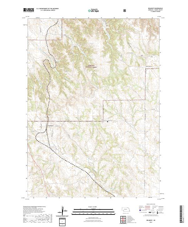
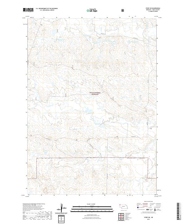
Layered geospatial PDF 7.5 Minute Quadrangle Map. Layers of geospatial data include orthoimagery, roads, grids, geographic names, elevation contours, hydrography, and other selected map features. This map is derived from GIS (geospatial information system) data. It represents a repackaging of GIS data in traditional map form, not creation of new information. The geospatial data in this map are from selected National Map data holdings and other government sources.
These data were released prior to the October 1, 2016 effective date for the USGS’s policy dictating the review, approval, and release of scientific data as referenced in USGS Survey Manual Chapter 502.8 Fundamental Science Practices: Review and Approval of Scientific Data for Release. This digital spatial data set consists of the aquifer base elevation contours (50-foot contour interval) for part of the High Plains aquifer in the central United States. This subset of the High Plains aquifer covers the Republican River Basin in Nebraska, Kansas, and Colorado upstream from the streamflow station on the Republican River near Hardy, Nebraska, near the Kansas/Nebraska border. In Nebraska, the digitized contours extend...

These data were released prior to the October 1, 2016 effective date for the USGS’s policy dictating the review, approval, and release of scientific data as referenced in USGS Survey Manual Chapter 502.8 Fundamental Science Practices: Review and Approval of Scientific Data for Release. This raster data set represents specific-yield ranges in the High Plains aquifer of the United States. The High Plains aquifer underlies 112.6 million acres (176,000 square miles) in parts of eight States: Colorado, Kansas, Nebraska, New Mexico, Oklahoma, South Dakota, Texas, and Wyoming. Specific yield ranges from near zero to 30 percent (Gutentag and others, 1984). This data set was generated in ESRI ArcInfo Workstation Version...

These data were released prior to the October 1, 2016 effective date for the USGS’s policy dictating the review, approval, and release of scientific data as referenced in USGS Survey Manual Chapter 502.8 Fundamental Science Practices: Review and Approval of Scientific Data for Release. The High Plains aquifer extends from south of 32 degrees to almost 44 degrees north latitude and from 96 degrees 30 minutes to 104 degrees west longitude. The aquifer underlies about 175,000 square miles in parts of Colorado, Kansas, Nebraska, New Mexico, Oklahoma, South Dakota, Texas, and Wyoming. This dataset consists of a raster of water-level changes for the High Plains aquifer, predevelopment (about 1950) to 2011. This digital...
These data were released prior to the October 1, 2016 effective date for the USGS’s policy dictating the review, approval, and release of scientific data as referenced in USGS Survey Manual Chapter 502.8 Fundamental Science Practices: Review and Approval of Scientific Data for Release. This point data set contains streamflow-measurement sites in the Elkhorn and Loup River basins and selected streamflow-measurement sites in the Niobrara and Platte River basins in north-central Nebraska. At these 531 sites, flows ranging from no flow to 2,600 cubic feet per second were measured or observed during November 8 to 21, 2006. Measurements were made by several different methods, including current meters, flumes, and acoustic...
These data were released prior to the October 1, 2016 effective date for the USGS’s policy dictating the review, approval, and release of scientific data as referenced in USGS Survey Manual Chapter 502.8 Fundamental Science Practices: Review and Approval of Scientific Data for Release. The U.S. Geological Survey, in cooperation with the North Platte Natural Resources District, used two surface geophysical techniques, capacitively coupled and direct-current continuous resistivity profiling, to map near-surface lithologies beneath the Interstate and Tri-State Canals in the spring and summer of 2004. This coverage represents the average electrical resistivity of sediments within the upper 8 meters below selected parts...

These data were released prior to the October 1, 2016 effective date for the USGS’s policy dictating the review, approval, and release of scientific data as referenced in USGS Survey Manual Chapter 502.8 Fundamental Science Practices: Review and Approval of Scientific Data for Release. Estimates of area and aerial extent of land-use categories are an essential component for computing the water budget of the High Plains aquifer. These raster land-use land class data represent yearly simulated future land use for the High Plains from 2009 to 2050 These data were developed using the FOREcasting SCEnarios (FORE-SCE) of future land cover model (Sohl and others, 2007; Sohl and Sayler 2008) for two (A2 and B2) of the...

These data were released prior to the October 1, 2016 effective date for the USGS’s policy dictating the review, approval, and release of scientific data as referenced in USGS Survey Manual Chapter 502.8 Fundamental Science Practices: Review and Approval of Scientific Data for Release. Estimates of land use categories are an essential component for computing the water budget of the High Plains aquifer. These raster land-use data represent yearly estimated land use for the High Plains from 1949 to 2008. These data were developed using the FOREcasting SCEnarios of future land cover (FORE-SCE) model (Sohl and others, 2007) and then processed using a Geographic Information System (GIS). The GIS software used to process...

These data were released prior to the October 1, 2016 effective date for the USGS’s policy dictating the review, approval, and release of scientific data as referenced in USGS Survey Manual Chapter 502.8 Fundamental Science Practices: Review and Approval of Scientific Data for Release. The U.S. Geological Survey and its partners have collaborated to complete airborne geophysical surveys for areas of the North and South Platte River valleys and Lodgepole Creek in western Nebraska. The objective of the surveys was to map the aquifers and bedrock topography of selected areas to help improve the understanding of groundwater-surface-water relationships to be used in water management decisions. Frequency-domain (2008...
These data were released prior to the October 1, 2016 effective date for the USGS’s policy dictating the review, approval, and release of scientific data as referenced in USGS Survey Manual Chapter 502.8 Fundamental Science Practices: Review and Approval of Scientific Data for Release. This arc and point data set contains streamflow-measurement sites and reaches indicating streamflow gain or loss under base-flow conditions along Republican River tributaries in Dundy and Chase Counties, Nebraska during October 6 to 8, 1975 (U.S. Geological Survey, 1977). The streamflow measurements were made to obtain data on ground-water/surface-water interaction. Flow was observed visually to be zero, was measured, or was estimated...
These data were released prior to the October 1, 2016 effective date for the USGS’s policy dictating the review, approval, and release of scientific data as referenced in USGS Survey Manual Chapter 502.8 Fundamental Science Practices: Review and Approval of Scientific Data for Release. This arc and point data set contains streamflow-measurement sites and reaches indicating streamflow gain or loss under base-flow conditions along Republican River tributaries in Nebraska during April 28 to May 1, 1980 (U.S. Geological Survey, 1981). The streamflow measurements were made to obtain data on ground-water/surface-water interaction. Flow was observed visually to be zero, was measured, or was estimated at 147 sites. The...

These data were released prior to the October 1, 2016 effective date for the USGS’s policy dictating the review, approval, and release of scientific data as referenced in USGS Survey Manual Chapter 502.8 Fundamental Science Practices: Review and Approval of Scientific Data for Release. This raster data set represents water-level change in the High Plains aquifer of the United States from 2005 to 2009, in feet. The High Plains aquifer underlies 112.6 million acres (176,000 square miles) in parts of eight States: Colorado, Kansas, Nebraska, New Mexico, Oklahoma, South Dakota, Texas, and Wyoming. The aquifer's saturated thickness ranges from near zero to about 1,200 feet (Weeks and Gutentag, 1981). Water-level declines...

The Geographic Names Information System (GNIS) is the Federal standard for geographic nomenclature. The U.S. Geological Survey developed the GNIS for the U.S. Board on Geographic Names, a Federal inter-agency body chartered by public law to maintain uniform feature name usage throughout the Government and to promulgate standard names to the public. The GNIS is the official repository of domestic geographic names data; the official vehicle for geographic names use by all departments of the Federal Government; and the source for applying geographic names to Federal electronic and printed products of all types.

These data were released prior to the October 1, 2016 effective date for the USGS’s policy dictating the review, approval, and release of scientific data as referenced in USGS Survey Manual Chapter 502.8 Fundamental Science Practices: Review and Approval of Scientific Data for Release. Baseflow is the portion of streamflow derived from groundwater flow. It is an important component of the groundwater budget, and can be estimated using known total streamflow at given points through time. Daily streamflow data was collected from 25 streamflow gaging stations across the northern High Plains Groundwater Availability Study (NHPGAS) area from the National Water Information System (NWIS) and the Nebraska Department of...
|

|
