Filters
Contacts
(Less)
-
U.S. Geological Survey
-
Ciembronowicz, Kate T.
-
Cross, VeeAnn A.
-
Halley, Robert B.
-
Hammar-Klose, Erika S.
-
Hine, Al C.
-
Jarrett, Bret D.
-
Locker, Stan D.
-
Naar, Dave F.
-
Twichell, David C.
-
U.S. Geological Survey
-
Ernest A Crider
-
U.S. Geological Survey - ScienceBase
-
Ryan C Rowland
-
Florence Bascom Geoscience Center
-
Core Science Systems
-
E. Allen Crider Jr.
-
USGS
-
Gregory K Boughton
-
Zachary H Bowen
-
Robert E Weems
-
Anna B Wilson
-
Annika W Walters
-
Mark W Carter
-
Utah Water Science Center
-
Pete G Chirico
-
Geneva W Chong
-
Patrick J Anderson
-
Earl M Lemon Jr.
-
Timothy J Assal
-
Steven L Garman
-
Matthew J Kauffman
-
Timothy T Bartos
-
Natalie Latysh
-
John E Solder
-
Marie K Dematatis
-
Alexander R Miller
-
Cynthia P Melcher
-
Kirk A Miller
-
Edward M Olexa
-
Benjamin (Contractor) R Weinmann
-
Laura R H Biewick
-
Anderson, Zachary W.
-
Anna D Chalfoun
-
Beard, L. Sue
-
Cameron L Aldridge
-
Cheryl A Eddy-Miller
-
Christopher Huber
-
Collin G Homer
-
Covington, Harry R.
-
More...
|
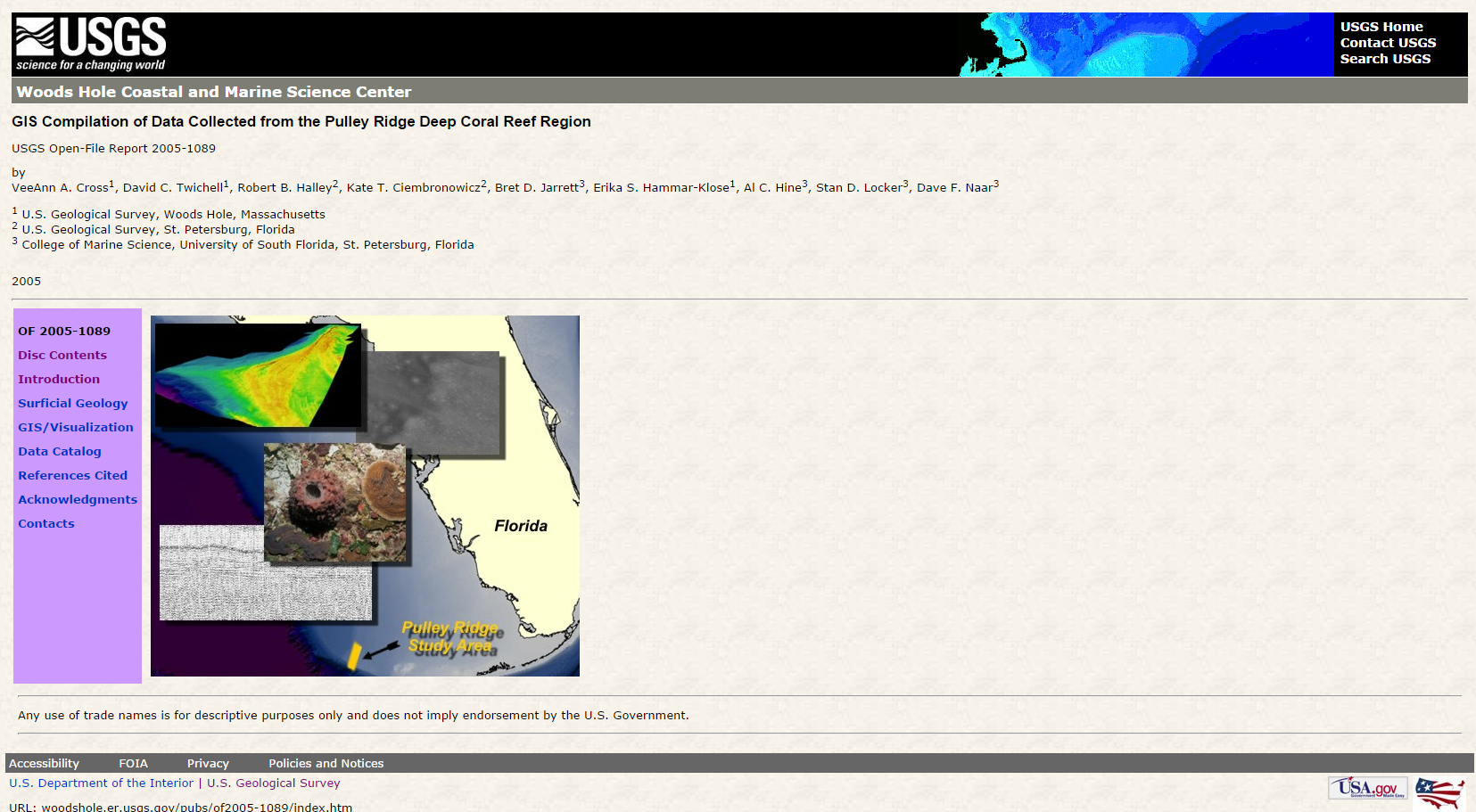
This database portrays the surface and shallow subsurface geology of the greater Charleston, S.C. region east of 80°30′ west and south of 33°15′ north. The region covers the entirety of Charleston County and portions of Berkeley, Colleton, Dorchester, and Georgetown Counties. Units locally exposed at the surface range in age from middle Eocene to Holocene, but most of the area is covered by Quaternary interglacial deposits. These are, from oldest to youngest, the Okefenokee, Waccamaw(?), Penholoway, Ladson, Ten Mile Hill, and Wando Formations and the Silver Bluff beds. Two cross sections (not included in the database), one running southeast from Harleyville to the coastline on James Island and the other running...
Tags: Adam Run fault,
Ashepoo River,
Ashley Formation,
Ashley River,
Ashley River fault, All tags...
Atlantic Ocean,
Awendaw,
Back River,
Berkeley County,
Bethera,
Bull Harbor,
Captain Sams Inlet,
Cenozoic,
Chandler Bridge Formation,
Charleston,
Charleston County,
Charleston Harbor,
Charleston fault,
Clark Sound,
College Park,
Colleton County,
Cooper River,
Coosaw River,
Copahee Sound,
Cordesville,
Cottageville,
Daniel Island beds (informal),
Dawho River,
Dorchester,
Dorchester County,
East Branch Cooper River,
Economic Geology,
Edisto Beach,
Edisto Formation,
Edisto Island,
Edisto River,
Eocene,
Esterville Minim Creek Canal,
Folly Beach,
Folly River,
Fort Moultrie,
Fort Sumter,
Fort Wagner,
Four Hole Swamp,
Francis Marion National Forest,
Geomorphology,
Givhans,
Goose Creek Limestone,
Goose Creek Reservoir,
Hamlin Sound,
Harleyville,
Harleyville Formation,
Hollywood,
Holocene,
Huger,
Huttos Lake,
Intracoastal Waterway,
Island of Palms,
Jacksonboro,
Jedburg,
Johns Island,
Kiawah River,
Ladson,
Ladson Formation,
Lake Francis,
Lake Merkel,
Lake Moultrie,
Lincolnville,
Marine Geology,
Marks Head Formation,
Meggett,
Miocene,
Moncks Corner,
Neogene,
North Charleston,
North Edisto River,
North Santee,
North Santee River,
Okefenokee Formation,
Oligocene,
Open-File Report,
Paleogene,
Parachucla Formation,
Parkers Ferry Formation,
Penholoway Formation,
Phanerozoic,
Pinopolis,
Pleistocene,
Pliocene,
Quaternary,
Ravenel,
Raysor Formation,
Ridgeville,
Saint Helena Sound,
Santee Limestone,
Seabrook Island,
Sedimentology,
Shulerville,
Silver Bluff beds,
South Edisto River,
South Santee River,
Stono Inlet,
Stono River,
Stratigraphy,
Summerville,
Summerville fault,
Tail Race Canal,
Ten Mile Hill Formation,
Tertiary,
Tibwin,
Toogoodoo Creek,
Tupelo Bay Formation Cross Member,
Tupelo Bay Formation Pregnall Member,
USGS Science Data Catalog (SDC),
Waccamaw(?) Formation,
Wadmalaw,
Wadmalaw River,
Wando,
Wando Formation,
West Branch Cooper River,
Whiteville,
Woodstock fault,
alluvial terrace,
alluvium,
beach sand,
bedrock geologic units,
biostratigraphy,
carbonate rock,
cartography,
clay deposits,
clay or mud,
climatologyMeteorologyAtmosphere,
colluvium,
earth sciences,
earthquakes,
economic geology,
environment,
fault zones,
faults,
flood plain,
geography,
geologic contacts,
geologic history,
geologic maps,
geologic processes,
geology,
geomorphology,
geoscientificInformation,
geospatial datasets,
gravel,
gravel deposits,
human impacts,
lake or marine sediment,
limestone,
lithostratigraphy,
maps and atlases,
marine geology,
mud flat,
natural rock formations,
nonmetallic mineral resources,
peat,
rocks and deposits,
sand,
sand deposits,
sedimentary rocks,
sedimentation,
sedimentology,
silt,
stratigraphy,
structural geology,
structure contours,
study areas,
surficial geologic units,
terrace,
time periods,
unconformities,
unconsolidated deposits,
unconsolidated material, Fewer tags
Soil gas methane and combustible gas concentrations collected from oil and gas well pad locations in Utah. Soil gas samples were measured on site and/or collected for later analysis as described in supporting documentation. Multiple sample locations around well head and depths within the soil profile are available for select sites. Supporting documents provide information of sample collection protocol and data quality assurance.
Categories: Data;
Types: Map Service,
OGC WFS Layer,
OGC WMS Layer,
OGC WMS Service;
Tags: Big Flat,
Big Indian North,
Big Indian South,
Big Valley,
Bluebell, All tags...
Bonanza,
Buck Canyon,
Carbon,
Clay Basin,
Clear Creek,
Daggett,
Duchesne,
Emery,
Fence Canyon,
Grand,
Hell Roaring,
Hell's Hole,
Horseshoe Bend,
Land,
Lisbon,
Long Canyon,
Love,
Natural Buttes,
Nine Mile Canyon,
North America,
North and Central America,
Open-File Report,
Pariette Bench,
Park Road,
Peters Point,
Pine Springs,
Randlett,
Red Wash,
Rock House,
San Juan,
South Pine Ridge,
USGS Science Data Catalog (SDC),
Uintah,
Undesignated,
United States,
United States,
Utah,
Utah,
Walker Hollow,
White River,
Wildcat,
Wonsits Valley,
air,
air pollution,
air quality,
airshed,
arid lands,
aromatic hydrocarbons,
atmospheric chemistry,
atmospheric sciences,
carbon cycle,
chemistry,
dispersion,
disturbed soils,
drained conditions,
energy resources,
energy use and consumption,
environmental quality,
environmental science,
flooded conditions,
fossil fuels,
fuels,
gas chromatography,
gas exchange,
gases,
geochemistry,
global carbon budget,
global methane budget,
greenhouse gases,
hydrocarbons,
interagency programs,
land management,
mass flow,
methane,
mineral resources,
natural gas,
nonrenewable resources,
oil field soils,
oil fields,
oil shale,
partnerships,
petroleum,
point source pollution,
pollution,
poorly drained soils,
public lands,
reclaimed soils,
saturated conditions,
sediment contamination,
soil,
soil air,
soil chemistry,
soil pollution,
soil science,
soil sciences,
soil water,
soil-atmosphere interactions,
transect sampling,
unsaturated conditions,
vadose zone, Fewer tags
This is the seventh report produced by the U.S. Geological Survey (USGS) for the Wyoming Landscape Conservation Initiative (WLCI) to detail annual activities conducted by the USGS for addressing specific management needs identified by WLCI partners. In FY2014, there were 26 projects, including a new one that was completed, two others that were also completed, and several that entered new phases or directions. The 26 projects fall into several categories: (1) synthesizing and analyzing existing data to identify current conditions on the landscape and using the data to develop models for projecting past and future landscape conditions; (2) monitoring indicators of ecosystem conditions and the effectiveness of on-the-ground...
The database for the Preliminary Geologic Map of the Cherry Hill Quadrangle, Dinwiddie, Sussex, and Greensville Counties, Virginia geographically straddles the Coastal Plain and Piedmont Provinces along the Tidewater Fall Line. Rocks of the eastern Piedmont Roanoke Rapids terrane crop out in the western part of the quadrangle and consist of greenschist- to amphibolite-facies Neoproterozoic felsic to intermediate metavolcanic rocks, some of which contain flattened quartz phenocrysts and are locally isoclinally folded; greenstone that is locally primary layered; and intrusive metadiorite and metagabbro, much of which has been altered to amphibolite. Most of these rocks are strongly foliated and jointed. Greenschist-facies...
Tags: Alluvial terrace,
Alluvium,
Amphibolite,
Aplite,
Atlantic coastal plain, All tags...
Bacons Castle Formation,
Black Branch,
Cambrian,
Cataclasite,
Cherry Hill,
Chesapeake Group,
Clastic rock,
Clay or mud,
Coarse-grained mixed clastic rock,
Colluvium,
De Witt pluton,
Devonian,
Dinwiddie County,
Dinwiddie terrane,
Double Branch Creek,
Economic Geology,
Felsic metavolcanic rock,
Gabbroid,
Geochemistry,
Geomorphology,
Granite,
Granitoid,
Gravel,
Greenstone,
Greenville County,
Hardwood Creek,
Harris Swamp,
Holocene,
Horsepen Branch,
Intermediate metavolcanic rock,
Lake or marine sediment,
Landslide,
Manlove Branch,
Mayes Pond,
Mesozoic,
Metamorphic rock,
Metasedimentary rock,
Metavolcanic rock,
Mica schist,
Millrun Branch,
Mineral Resources,
Miocene,
Mixed volcanic/clastic rock,
Mylonite,
Neogene,
Neoproterozoic,
Nottoway River,
Nottoway River fault zone,
Open-File Report,
Paleozoic,
Pegmatite,
Pennsylvanian,
Pleistocene,
Pliocene,
Plutonic rock,
Quartzite,
Quaternary,
Rita Branch,
Roanoke Rapids terrane,
Rocky Branch,
Sand,
Sandstone,
Sappony Creek,
Schist,
Sedimentology,
Silurian,
Smith Branch,
Spring Meadow Branch,
Stewart Branch,
Stratigraphy,
Structural Geology,
Sussex County,
Terrace,
USGS Science Data Catalog (SDC),
Unconsolidated material,
Virginia,
bedrock geologic units,
building stone resources,
deformation (geologic),
earth characteristics,
earth sciences,
environment,
fault zones,
faulting (geologic),
faults,
foliation (geologic),
fracture (geologic),
gabbro,
geochemistry,
geologic contacts,
geologic history,
geologic maps,
geologic structure,
geology,
geoscientificInformation,
geospatial datasets,
gravel deposits,
igneous rocks,
lineation (geologic),
lithostratigraphy,
maps and atlases,
metallic mineral resources,
metamorphic rocks,
metamorphism (geological),
mine sites,
mineral resources,
natural resources,
natural rock formations,
petrology,
plutonic rocks,
rocks and deposits,
sand deposits,
sedimentary rocks,
sedimentology,
silt,
stratigraphy,
structural geology,
study areas,
surficial geologic units,
unconsolidated deposits,
volcanic rocks, Fewer tags
|
|