Filters: Tags: Pershing County (X) > Date Range: {"choice":"year"} (X)
14 results (17ms)|
Filters
Date Types (for Date Range)
Contacts
Categories Tag Types Tag Schemes |
A three-dimensional groundwater flow model using MODFLOW-NWT was developed to evaluate historical and potential stream capture in the lower Humboldt River Basin, Nevada. The Humboldt River Basin is the only river basin that is contained entirely within the state of Nevada. The effect of groundwater pumping on the Humboldt River is not well understood. Tools are needed to determine stream capture and manage groundwater pumping in the Humboldt River Basin. Previous work has demonstrated that the river’s surface-water resource is sensitive to groundwater withdrawals, which have steadily increased since the 1950s for agriculture, municipal, and mining uses. A numerical groundwater flow model was developed for the purpose...
Categories: Data Release - Revised;
Types: Map Service,
OGC WFS Layer,
OGC WMS Layer,
OGC WMS Service;
Tags: Capture,
Groundwater Model,
Humboldt River Basin watershed,
Hydrology,
InlandWaters,

The High Resolution National Hydrography Dataset Plus (NHDPlus HR) is an integrated set of geospatial data layers, including the National Hydrography Dataset (NHD), National Watershed Boundary Dataset (WBD), and 3D Elevation Program Digital Elevation Model (3DEP DEM). The NHDPlus HR combines the NHD, 3DEP DEMs, and WBD to a data suite that includes the NHD stream network with linear referencing functionality, the WBD hydrologic units, elevation-derived catchment areas for each stream segment, "value added attributes" (VAAs), and other features that enhance hydrologic data analysis and routing.

These data were released prior to the October 1, 2016 effective date for the USGS’s policy dictating the review, approval, and release of scientific data as referenced in USGS Survey Manual Chapter 502.8 Fundamental Science Practices: Review and Approval of Scientific Data for Release. With increasing population growth and land-use change, urban communities in the desert southwest are progressively looking to remote basins to supplement existing water supplies. Recent applications for groundwater appropriations from Dixie Valley, Nevada, a primarily undeveloped basin neighboring the Carson Desert to the east, have prompted a reevaluation of the quantity of naturally discharging groundwater. The objective of this...

The High Resolution National Hydrography Dataset Plus (NHDPlus HR) is an integrated set of geospatial data layers, including the National Hydrography Dataset (NHD), National Watershed Boundary Dataset (WBD), and 3D Elevation Program Digital Elevation Model (3DEP DEM). The NHDPlus HR combines the NHD, 3DEP DEMs, and WBD to a data suite that includes the NHD stream network with linear referencing functionality, the WBD hydrologic units, elevation-derived catchment areas for each stream segment, "value added attributes" (VAAs), and other features that enhance hydrologic data analysis and routing.
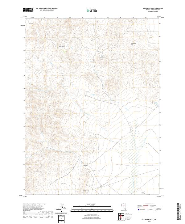
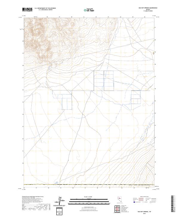
Layered geospatial PDF 7.5 Minute Quadrangle Map. Layers of geospatial data include orthoimagery, roads, grids, geographic names, elevation contours, hydrography, and other selected map features. This map is derived from GIS (geospatial information system) data. It represents a repackaging of GIS data in traditional map form, not creation of new information. The geospatial data in this map are from selected National Map data holdings and other government sources.
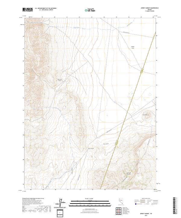
Layered geospatial PDF 7.5 Minute Quadrangle Map. Layers of geospatial data include orthoimagery, roads, grids, geographic names, elevation contours, hydrography, and other selected map features. This map is derived from GIS (geospatial information system) data. It represents a repackaging of GIS data in traditional map form, not creation of new information. The geospatial data in this map are from selected National Map data holdings and other government sources.

These data were released prior to the October 1, 2016 effective date for the USGS’s policy dictating the review, approval, and release of scientific data as referenced in USGS Survey Manual Chapter 502.8 Fundamental Science Practices: Review and Approval of Scientific Data for Release. With increasing population growth and land-use change, urban communities in the desert southwest are progressively looking to remote basins to supplement existing water supplies. Recent applications for groundwater appropriations from Dixie Valley, Nevada, a primarily undeveloped basin neighboring the Carson Desert to the east, have prompted a reevaluation of the quantity of naturally discharging groundwater.The objective of this...
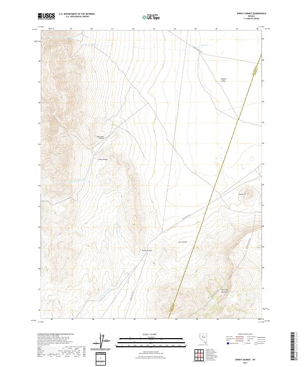
Layered geospatial PDF 7.5 Minute Quadrangle Map. Layers of geospatial data include orthoimagery, roads, grids, geographic names, elevation contours, hydrography, and other selected map features. This map is derived from GIS (geospatial information system) data. It represents a repackaging of GIS data in traditional map form, not creation of new information. The geospatial data in this map are from selected National Map data holdings and other government sources.

The High Resolution National Hydrography Dataset Plus (NHDPlus HR) is an integrated set of geospatial data layers, including the National Hydrography Dataset (NHD), National Watershed Boundary Dataset (WBD), and 3D Elevation Program Digital Elevation Model (3DEP DEM). The NHDPlus HR combines the NHD, 3DEP DEMs, and WBD to a data suite that includes the NHD stream network with linear referencing functionality, the WBD hydrologic units, elevation-derived catchment areas for each stream segment, "value added attributes" (VAAs), and other features that enhance hydrologic data analysis and routing.
This USGS data release represents data from the following publication: Plume, R.W., and Ponce, S.A., 1999, Hydrogeologic framework and ground-water levels, 1982 and 1996, middle Humboldt River basin, north-central Nevada: U.S. Geological Survey Water-Resources Investigations Report 98-4209, 2 plates, https://doi.org/10.3133/wri984209.

These data were released prior to the October 1, 2016 effective date for the USGS’s policy dictating the review, approval, and release of scientific data as referenced in USGS Survey Manual Chapter 502.8 Fundamental Science Practices: Review and Approval of Scientific Data for Release. With increasing population growth and land-use change, urban communities in the desert southwest are progressively looking to remote basins to supplement existing water supplies. Recent applications for groundwater appropriations from Dixie Valley, Nevada, a primarily undeveloped basin neighboring the Carson Desert to the east, have prompted a reevaluation of the quantity of naturally discharging groundwater.The objective of this...
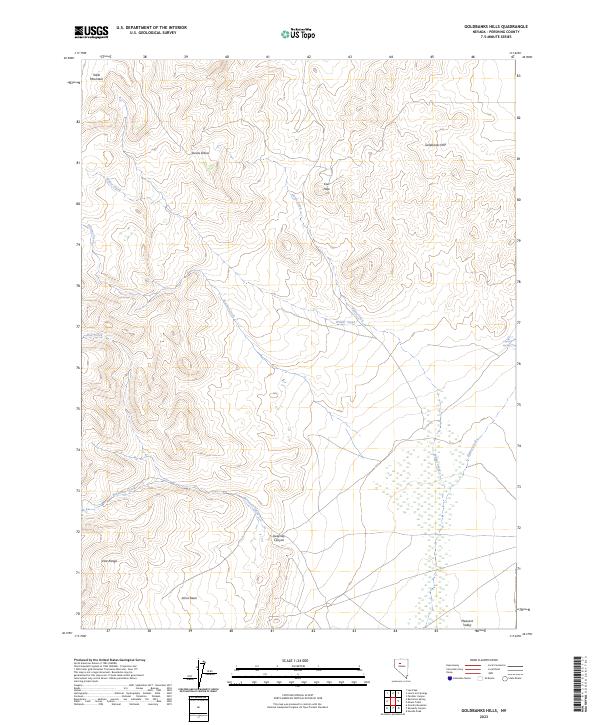
Layered geospatial PDF 7.5 Minute Quadrangle Map. Layers of geospatial data include orthoimagery, roads, grids, geographic names, elevation contours, hydrography, and other selected map features. This map is derived from GIS (geospatial information system) data. It represents a repackaging of GIS data in traditional map form, not creation of new information. The geospatial data in this map are from selected National Map data holdings and other government sources.
Layered geospatial PDF 7.5 Minute Quadrangle Map. Layers of geospatial data include orthoimagery, roads, grids, geographic names, elevation contours, hydrography, and other selected map features. This map is derived from GIS (geospatial information system) data. It represents a repackaging of GIS data in traditional map form, not creation of new information. The geospatial data in this map are from selected National Map data holdings and other government sources.
This data release contains depth-to-groundwater, water withdrawal, and analyses associated with multiple aquifer tests conducted between March 2017 and April 2018 in Lovelock, NV. Seven slug tests, one single-well pumping test, and two multi-well pumping tests were conducted to evaluate properties of the Lahontan clays and silts, fluvial deposits, and coarser, water-bearing deposits of the Younger Alluvium. Data and analyses are presented in folders named according to type of test and aquifer analyzed, as described in the larger work.
|

|
