Filters: Tags: Pinal County (X)
917 results (80ms)|
Filters
Date Range
Contacts
Categories Tag Types
|
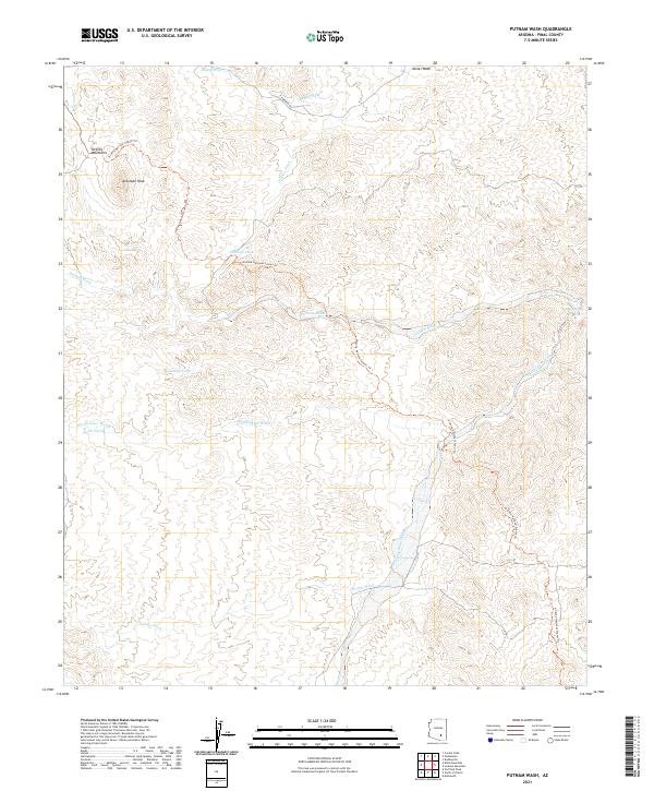
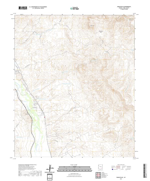
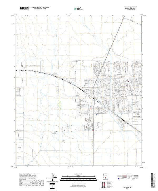
Layered geospatial PDF 7.5 Minute Quadrangle Map. Layers of geospatial data include orthoimagery, roads, grids, geographic names, elevation contours, hydrography, and other selected map features. This map is derived from GIS (geospatial information system) data. It represents a repackaging of GIS data in traditional map form, not creation of new information. The geospatial data in this map are from selected National Map data holdings and other government sources.
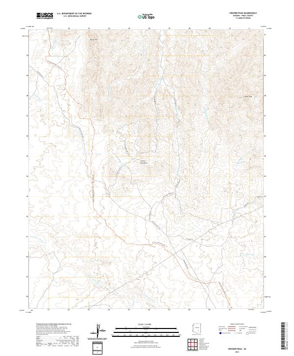
Layered geospatial PDF 7.5 Minute Quadrangle Map. Layers of geospatial data include orthoimagery, roads, grids, geographic names, elevation contours, hydrography, and other selected map features. This map is derived from GIS (geospatial information system) data. It represents a repackaging of GIS data in traditional map form, not creation of new information. The geospatial data in this map are from selected National Map data holdings and other government sources.
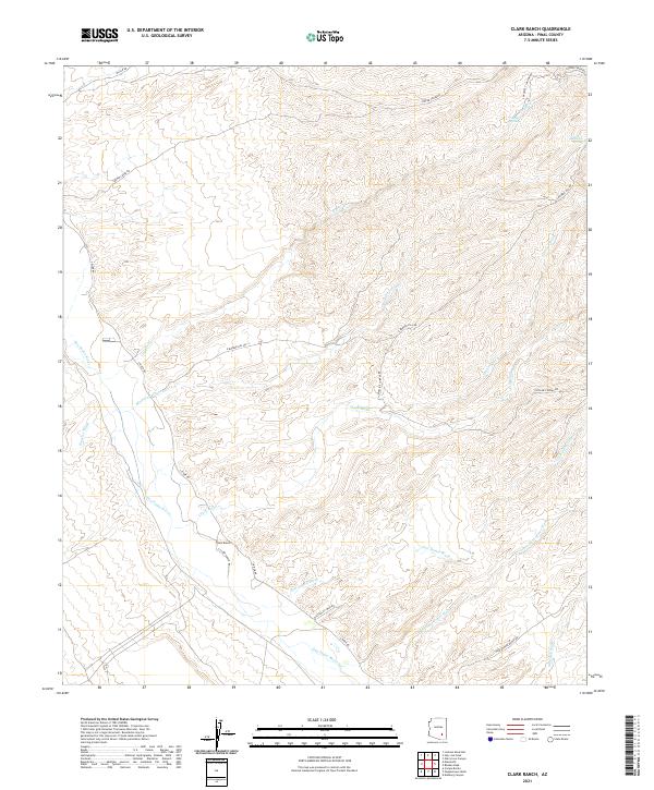
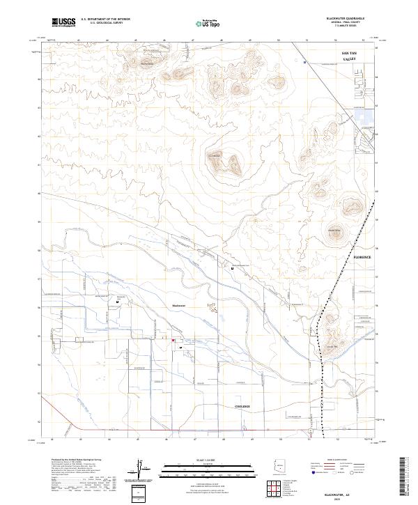
Layered geospatial PDF 7.5 Minute Quadrangle Map. Layers of geospatial data include orthoimagery, roads, grids, geographic names, elevation contours, hydrography, and other selected map features. This map is derived from GIS (geospatial information system) data. It represents a repackaging of GIS data in traditional map form, not creation of new information. The geospatial data in this map are from selected National Map data holdings and other government sources.
Layered geospatial PDF 7.5 Minute Quadrangle Map. Layers of geospatial data include orthoimagery, roads, grids, geographic names, elevation contours, hydrography, and other selected map features. This map is derived from GIS (geospatial information system) data. It represents a repackaging of GIS data in traditional map form, not creation of new information. The geospatial data in this map are from selected National Map data holdings and other government sources.
Layered geospatial PDF 7.5 Minute Quadrangle Map. Layers of geospatial data include orthoimagery, roads, grids, geographic names, elevation contours, hydrography, and other selected map features. This map is derived from GIS (geospatial information system) data. It represents a repackaging of GIS data in traditional map form, not creation of new information. The geospatial data in this map are from selected National Map data holdings and other government sources.
Layered geospatial PDF 7.5 Minute Quadrangle Map. Layers of geospatial data include orthoimagery, roads, grids, geographic names, elevation contours, hydrography, and other selected map features. This map is derived from GIS (geospatial information system) data. It represents a repackaging of GIS data in traditional map form, not creation of new information. The geospatial data in this map are from selected National Map data holdings and other government sources.
Layered geospatial PDF 7.5 Minute Quadrangle Map. Layers of geospatial data include orthoimagery, roads, grids, geographic names, elevation contours, hydrography, and other selected map features. This map is derived from GIS (geospatial information system) data. It represents a repackaging of GIS data in traditional map form, not creation of new information. The geospatial data in this map are from selected National Map data holdings and other government sources.
Layered geospatial PDF 7.5 Minute Quadrangle Map. Layers of geospatial data include orthoimagery, roads, grids, geographic names, elevation contours, hydrography, and other selected map features. This map is derived from GIS (geospatial information system) data. It represents a repackaging of GIS data in traditional map form, not creation of new information. The geospatial data in this map are from selected National Map data holdings and other government sources.
Layered geospatial PDF 7.5 Minute Quadrangle Map. Layers of geospatial data include orthoimagery, roads, grids, geographic names, elevation contours, hydrography, and other selected map features. This map is derived from GIS (geospatial information system) data. It represents a repackaging of GIS data in traditional map form, not creation of new information. The geospatial data in this map are from selected National Map data holdings and other government sources.
Layered geospatial PDF 7.5 Minute Quadrangle Map. Layers of geospatial data include orthoimagery, roads, grids, geographic names, elevation contours, hydrography, and other selected map features. This map is derived from GIS (geospatial information system) data. It represents a repackaging of GIS data in traditional map form, not creation of new information. The geospatial data in this map are from selected National Map data holdings and other government sources.
Layered geospatial PDF 7.5 Minute Quadrangle Map. Layers of geospatial data include orthoimagery, roads, grids, geographic names, elevation contours, hydrography, and other selected map features. This map is derived from GIS (geospatial information system) data. It represents a repackaging of GIS data in traditional map form, not creation of new information. The geospatial data in this map are from selected National Map data holdings and other government sources.
Heinrichs Geoexploration Co. Maps: Purcell, Sec. 3, 4, 9 and 10 Sheet 2 of 11; 1 in. to 400 feet; 36 x 38 in.
Heinrichs Geoexploration Co. Maps: Purcell, Sec. 3, 4, 9 and 10 Sheet 1 of 11; 1 in. to 400 feet; 37 x 31 in.
ADMMR map collection: Columbia-Silver Bell, Geologic Map No. 2 Adit, LV.(3240); 1 in. to 30 feet; 41 x 23 in.
Categories: Data;
Tags: 1980s,
Arizona,
Dataset,
Dripping Springs Mts. physiographic area,
Hagen Claims,
ADMMR map collection: Columbia-Silver Bell, Sample-Assay Map No. 3 Adit, LV.(3130); 1 in. to 30 feet; 41 x 23 in.
Categories: Data;
Tags: 1980s,
Arizona,
Dataset,
Dripping Springs Mts. physiographic area,
Hagen Claims,
ADMMR map collection: Reward Mine Assay Section Map Hole 5; 1 in. to 50 feet; 36 x 17 in.
ADMMR map collection: Adjust Group, Drift and Raise Plan with Samples; 24 x 19 in.
ADMMR map collection: Reward-Zinc Geologic Map; 1 in. to 100 feet; 40 x 30 in.
ADMMR map collection: Columbia-Silver Bell, Ore Reserve Map 4th Level (3070); 1 in. to 30 feet; 41 x 23 in.
Categories: Data;
Tags: 1980s,
Arizona,
Dataset,
Dripping Springs Mts. physiographic area,
Hagen Claims,
ADMMR map collection: Columbia-Silver Bell, Blocks A-E; 8 x 12 in.
Categories: Data;
Tags: Arizona,
Dataset,
Dripping Springs Mts. physiographic area,
Hagen Claims,
Hot Tamale Peak - 7.5 Min,
|

|
