Filters: Tags: Pondera County (X) > Date Range: {"choice":"year"} (X)
2 results (70ms)|
Filters
Date Types (for Date Range)
Categories Tag Types Tag Schemes |
In 2019, the U.S. Geological Survey (USGS), in cooperation with the Blackfeet Water Department, initiated a multi-year hydrologic investigation of the Blackfeet Indian Reservation. The investigation was designed to increase understanding of the water resources of the Blackfeet Indian Reservation including Birch Creek which forms the southern boundary of the reservation. Streamflow is controlled in the headwaters of Birch Creek through the outflow from Swift Reservoir at Swift Dam. The data included in this data release was provided by the Pondera County Canal and Reservoir Company (PCCRC) and includes Swift Reservoir outflow daily streamflow values and daily streamflow values for three downstream diversions from...
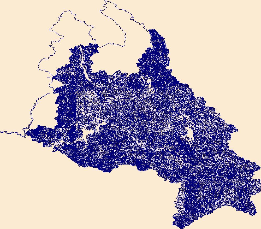
The High Resolution National Hydrography Dataset Plus (NHDPlus HR) is an integrated set of geospatial data layers, including the best available National Hydrography Dataset (NHD), the 10-meter 3D Elevation Program Digital Elevation Model (3DEP DEM), and the National Watershed Boundary Dataset (WBD). The NHDPlus HR combines the NHD, 3DEP DEMs, and WBD to create a stream network with linear referencing, feature naming, "value added attributes" (VAAs), elevation-derived catchments, and other features for hydrologic data analysis. The stream network with linear referencing is a system of data relationships applied to hydrographic systems so that one stream reach "flows" into another and "events" can be tied to and traced...
|

|
