Filters
Date Types (for Date Range)
Types
Contacts
Categories
Tag Types
Tag Schemes
|

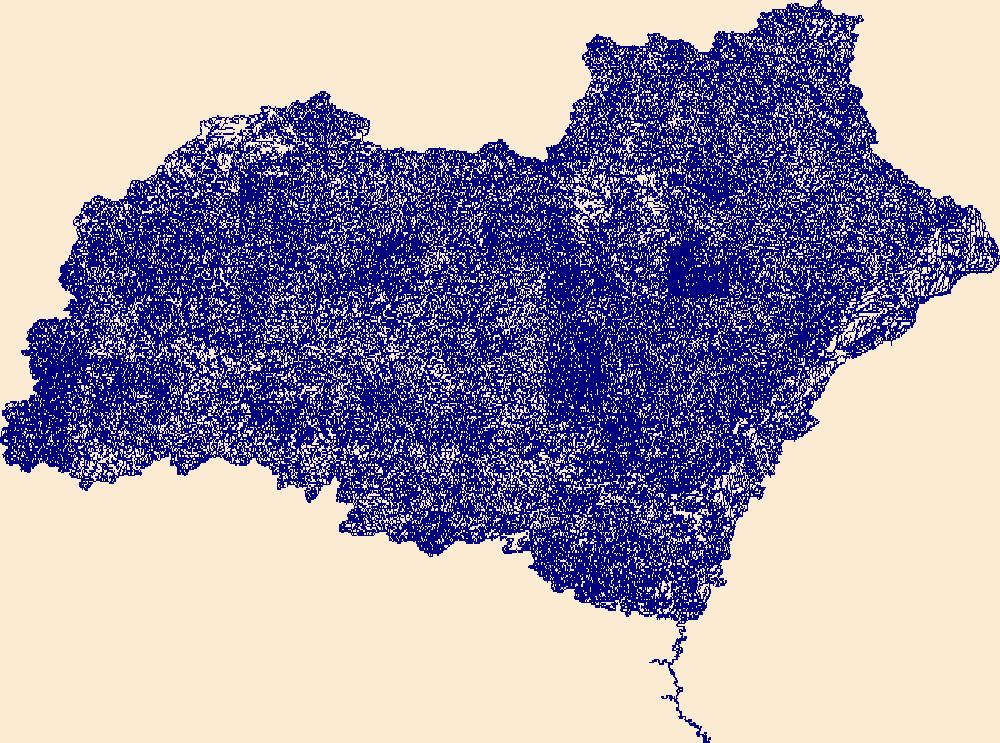
The High Resolution National Hydrography Dataset Plus (NHDPlus HR) is an integrated set of geospatial data layers, including the best available National Hydrography Dataset (NHD), the 10-meter 3D Elevation Program Digital Elevation Model (3DEP DEM), and the National Watershed Boundary Dataset (WBD). The NHDPlus HR combines the NHD, 3DEP DEMs, and WBD to create a stream network with linear referencing, feature naming, "value added attributes" (VAAs), elevation-derived catchments, and other features for hydrologic data analysis. The stream network with linear referencing is a system of data relationships applied to hydrographic systems so that one stream reach "flows" into another and "events" can be tied to and traced...
Tags: AR,
Arkansas,
Barry County,
Baxter County,
Benton County, All tags...
Boone County,
Butler County,
Carroll County,
Carter County,
Christian County,
Clay County,
Cleburne County,
Conway County,
Crawford County,
Dent County,
Douglas County,
Downloadable Data,
FileGDB,
FileGDB 10.1,
Franklin County,
Fulton County,
Greene County,
Greene County,
HU-4 Subregion,
HU-4 Subregion,
HU4_1101,
Howell County,
Hydrography,
Independence County,
Iron County,
Izard County,
Jackson County,
Lawrence County,
Lawrence County,
MO,
Madison County,
Marion County,
Missouri,
NHDPlus HR Rasters,
NHDPlus High Resolution (NHDPlus HR),
National Hydrography Dataset (NHD),
National Hydrography Dataset Plus High Resolution (NHDPlus HR),
National Hydrography Dataset Plus High Resolution (NHDPlus HR) Current,
Newton County,
Oregon County,
Ozark County,
Pope County,
Randolph County,
Reynolds County,
Ripley County,
Searcy County,
Shannon County,
Sharp County,
Stone County,
Stone County,
Taney County,
Texas County,
US,
United States,
Van Buren County,
Washington County,
Wayne County,
Webster County,
White County,
Woodruff County,
Wright County,
base maps,
cartography,
catchments,
channels,
digital elevation models,
drainage basins,
earth sciences,
elevation,
environment,
geographic information systems,
geoscientific,
geospatial analysis,
hydrographic datasets,
hydrographic features,
hydrology,
imagery,
inland waters,
lakes,
land surface characteristics,
reservoirs,
river reaches,
rivers,
streamflow,
streamflow data,
streams,
topography,
water bodies,
water quality,
water resources,
watersheds, Fewer tags

Field crews from Northern Prairie Wildlife Research Center from 1991-1993 in Stutsman County, North Dakota and Pope and Stevens Counties, Minnesota, gathered nest success and fledgling data from nests found within Conservation Reserve Program fields and Waterfowl Production Areas. This dataset includes nesting observations of bird species found within these two field types. The dataset includes genus and species, vegetation height, distance to edge and perch, host nesting and fledgling variables, and parasitic nesting and fledgling variables.
Categories: Data;
Types: Map Service,
OGC WFS Layer,
OGC WMS Layer,
OGC WMS Service;
Tags: Conservation Reserve Program,
Ecology,
Minnesota,
North Dakota,
Pope County, All tags...
Stevens County,
Stutsman County,
USGS Science Data Catalog (SDC),
Waterfowl Production Area,
biota,
grassland ecosystems,
migratory species,
nest success,
productivity, Fewer tags

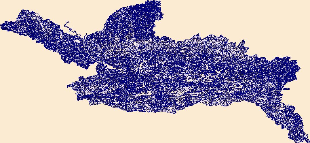
The High Resolution National Hydrography Dataset Plus (NHDPlus HR) is an integrated set of geospatial data layers, including the best available National Hydrography Dataset (NHD), the 10-meter 3D Elevation Program Digital Elevation Model (3DEP DEM), and the National Watershed Boundary Dataset (WBD). The NHDPlus HR combines the NHD, 3DEP DEMs, and WBD to create a stream network with linear referencing, feature naming, "value added attributes" (VAAs), elevation-derived catchments, and other features for hydrologic data analysis. The stream network with linear referencing is a system of data relationships applied to hydrographic systems so that one stream reach "flows" into another and "events" can be tied to and traced...
Tags: AR,
Adair County,
Arkansas,
Benton County,
Cherokee County, All tags...
Cleburne County,
Conway County,
Crawford County,
Creek County,
Delaware County,
Downloadable Data,
Faulkner County,
FileGDB,
FileGDB 10.1,
Franklin County,
Garland County,
Grant County,
HU-4 Subregion,
HU-4 Subregion,
HU4_1111,
Haskell County,
Hydrography,
Jefferson County,
Johnson County,
Latimer County,
Le Flore County,
Logan County,
Lonoke County,
Madison County,
McIntosh County,
Montgomery County,
Muskogee County,
NHDPlus HR Rasters,
NHDPlus High Resolution (NHDPlus HR),
National Hydrography Dataset (NHD),
National Hydrography Dataset Plus High Resolution (NHDPlus HR),
National Hydrography Dataset Plus High Resolution (NHDPlus HR) Current,
Newton County,
OK,
Oklahoma,
Okmulgee County,
Osage County,
Perry County,
Pittsburg County,
Polk County,
Pope County,
Pulaski County,
Saline County,
Scott County,
Searcy County,
Sebastian County,
Sequoyah County,
Tulsa County,
US,
United States,
Van Buren County,
Wagoner County,
Washington County,
White County,
Yell County,
base maps,
cartography,
catchments,
channels,
digital elevation models,
drainage basins,
earth sciences,
elevation,
environment,
geographic information systems,
geoscientific,
geospatial analysis,
hydrographic datasets,
hydrographic features,
hydrology,
imagery,
inland waters,
lakes,
land surface characteristics,
reservoirs,
river reaches,
rivers,
streamflow,
streamflow data,
streams,
topography,
water bodies,
water quality,
water resources,
watersheds, Fewer tags

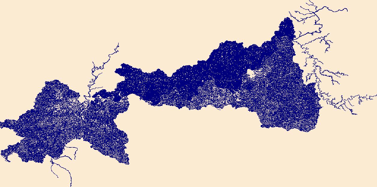
The High Resolution National Hydrography Dataset Plus (NHDPlus HR) is an integrated set of geospatial data layers, including the best available National Hydrography Dataset (NHD), the 10-meter 3D Elevation Program Digital Elevation Model (3DEP DEM), and the National Watershed Boundary Dataset (WBD). The NHDPlus HR combines the NHD, 3DEP DEMs, and WBD to create a stream network with linear referencing, feature naming, "value added attributes" (VAAs), elevation-derived catchments, and other features for hydrologic data analysis. The stream network with linear referencing is a system of data relationships applied to hydrographic systems so that one stream reach "flows" into another and "events" can be tied to and traced...
Tags: Alexander County,
Anderson County,
Ballard County,
Boyle County,
Breckinridge County, All tags...
Bullitt County,
Caldwell County,
Carroll County,
Casey County,
Christian County,
Clark County,
Crawford County,
Crittenden County,
Daviess County,
Downloadable Data,
Dubois County,
FileGDB,
FileGDB 10.1,
Floyd County,
Franklin County,
Gallatin County,
Gibson County,
Green County,
HU-4 Subregion,
HU-4 Subregion,
HU4_0514,
Hamilton County,
Hancock County,
Hardin County,
Hardin County,
Harrison County,
Henderson County,
Henry County,
Hopkins County,
Hydrography,
IL,
IN,
Illinois,
Indiana,
Jefferson County,
Jefferson County,
Johnson County,
KY,
Kentucky,
Larue County,
Livingston County,
Marion County,
Massac County,
McCracken County,
Meade County,
Mercer County,
NHDPlus HR Rasters,
NHDPlus High Resolution (NHDPlus HR),
National Hydrography Dataset (NHD),
National Hydrography Dataset Plus High Resolution (NHDPlus HR),
National Hydrography Dataset Plus High Resolution (NHDPlus HR) Current,
Nelson County,
Oldham County,
Orange County,
Perry County,
Pike County,
Pope County,
Posey County,
Pulaski County,
Ripley County,
Saline County,
Scott County,
Shelby County,
Spencer County,
Spencer County,
Switzerland County,
Taylor County,
Trimble County,
US,
Union County,
Union County,
United States,
Vanderburgh County,
Warrick County,
Washington County,
Washington County,
Webster County,
White County,
Williamson County,
base maps,
cartography,
catchments,
channels,
digital elevation models,
drainage basins,
earth sciences,
elevation,
environment,
geographic information systems,
geoscientific,
geospatial analysis,
hydrographic datasets,
hydrographic features,
hydrology,
imagery,
inland waters,
lakes,
land surface characteristics,
reservoirs,
river reaches,
rivers,
streamflow,
streamflow data,
streams,
topography,
water bodies,
water quality,
water resources,
watersheds, Fewer tags
|
|


