Filters: Tags: Porter County (X) > Types: Citation (X)
33 results (104ms)|
Filters
Date Range
Types Contacts
Categories Tag Types Tag Schemes |
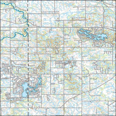
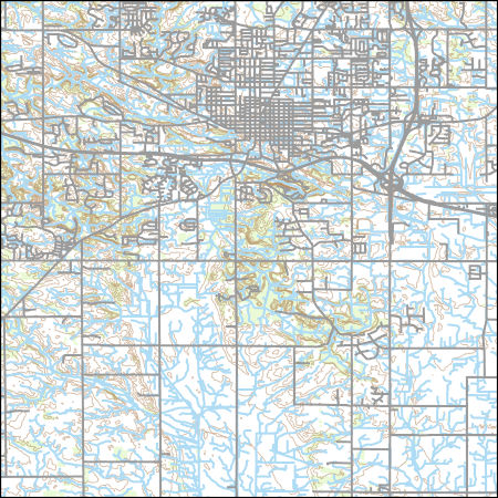
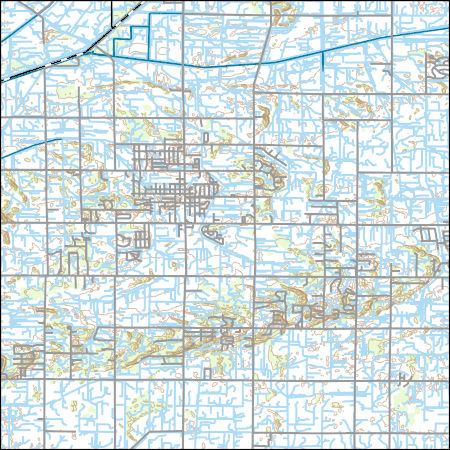
Layers of geospatial data include contours, boundaries, land cover, hydrography, roads, transportation, geographic names, structures, and other selected map features.
Types: Citation;
Tags: 7.5 x 7.5 minute,
7_5_Min,
Combined Vector,
Combined Vector,
Combined Vector,
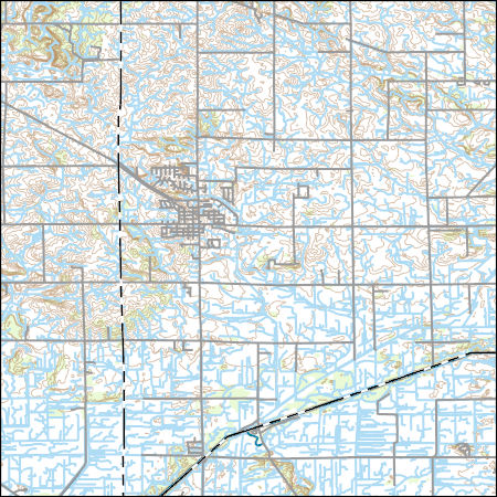
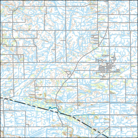
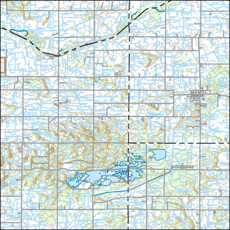
Layers of geospatial data include contours, boundaries, land cover, hydrography, roads, transportation, geographic names, structures, and other selected map features.
Types: Citation;
Tags: 7.5 x 7.5 minute,
7_5_Min,
Combined Vector,
Combined Vector,
Combined Vector,
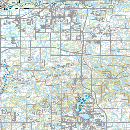
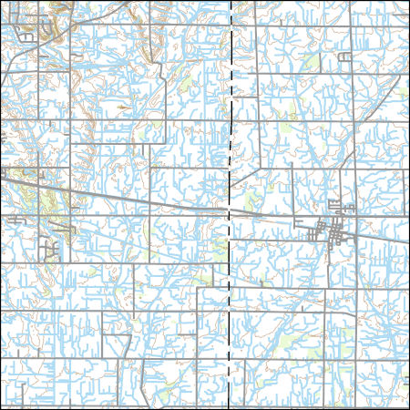
Layers of geospatial data include contours, boundaries, land cover, hydrography, roads, transportation, geographic names, structures, and other selected map features.
Types: Citation;
Tags: 7.5 x 7.5 minute,
7_5_Min,
Combined Vector,
Combined Vector,
Combined Vector,

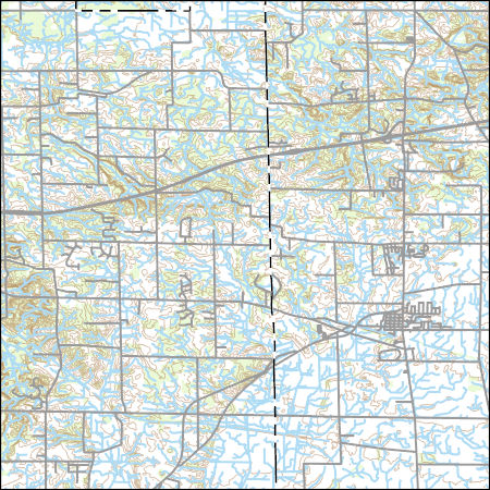
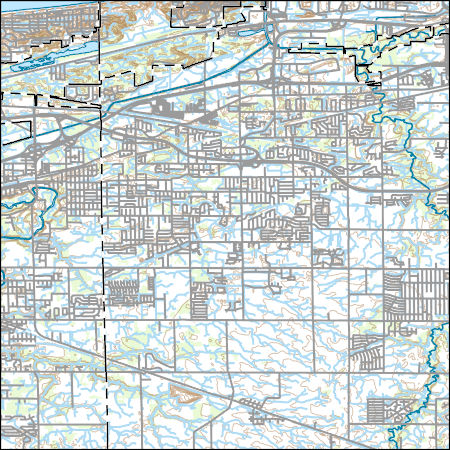
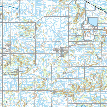
Layers of geospatial data include contours, boundaries, land cover, hydrography, roads, transportation, geographic names, structures, and other selected map features.
Types: Citation;
Tags: 7.5 x 7.5 minute,
7_5_Min,
Combined Vector,
Combined Vector,
Combined Vector,
Layers of geospatial data include contours, boundaries, land cover, hydrography, roads, transportation, geographic names, structures, and other selected map features.
Types: Citation;
Tags: 7.5 x 7.5 minute,
7_5_Min,
Combined Vector,
Combined Vector,
Combined Vector,
Layers of geospatial data include contours, boundaries, land cover, hydrography, roads, transportation, geographic names, structures, and other selected map features.
Types: Citation;
Tags: 7.5 x 7.5 minute,
7_5_Min,
Combined Vector,
Combined Vector,
Combined Vector,

Layers of geospatial data include contours, boundaries, land cover, hydrography, roads, transportation, geographic names, structures, and other selected map features.
Types: Citation;
Tags: 7.5 x 7.5 minute,
7_5_Min,
Combined Vector,
Combined Vector,
Combined Vector,
Layers of geospatial data include contours, boundaries, land cover, hydrography, roads, transportation, geographic names, structures, and other selected map features.
Types: Citation;
Tags: 7.5 x 7.5 minute,
7_5_Min,
Combined Vector,
Combined Vector,
Combined Vector,
Layers of geospatial data include contours, boundaries, land cover, hydrography, roads, transportation, geographic names, structures, and other selected map features.
Types: Citation;
Tags: 7.5 x 7.5 minute,
7_5_Min,
Combined Vector,
Combined Vector,
Combined Vector,
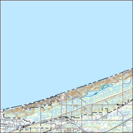
The US Army Corps of Engineers (USACE) is evaluating the placement of dredged material in the nearshore areas of Lake Michigan as a means to replenish sand at selected beaches. In order to elucidate the physical processes in the nearshore environment that transport and distribute sand to the beach, the USACE-Chicago District and the US Geological Survey (USGS) developed a plan for a beach replenishment study on Lake Michigan near Burns Harbor/Ogden Dunes, Indiana. In support of this effort, a backpack-mounted Trimble Ag132 RTK-dGPS was used for two surveys of beach topography (August 9, 2016, and October 11, 2016) in the study area.
Categories: Data;
Types: Citation;
Tags: Burns Harbor,
GPS measurement,
Indiana,
Lake Michigan,
Ogden Dunes,
The US Army Corps of Engineers (USACE) is evaluating the placement of dredged material in the nearshore areas of Lake Michigan as a means to replenish sand at selected beaches. In order to elucidate the physical processes in the nearshore environment that transport and distribute sand to the beach, the USACE-Chicago District and the US Geological Survey (USGS) developed a plan for a beach nourishment study on Lake Michigan near Burns Harbor/Ogden Dunes, Indiana. In support of this effort, the USGS deployed an upward-profiling acoustic Doppler current profiler (ADCP) to the Burns Harbor/Ogden Dunes study area to collect wave and current data. The ADCP was located at the following World Geodetic System 1984 (WGS84)...
Categories: Data;
Types: Citation;
Tags: Burns Harbor,
Indiana,
Lake Michigan,
Ogden Dunes,
Portage, IN,
Layers of geospatial data include contours, boundaries, land cover, hydrography, roads, transportation, geographic names, structures, and other selected map features.
Types: Citation;
Tags: 7.5 x 7.5 minute,
7_5_Min,
Combined Vector,
Combined Vector,
Combined Vector,

Layers of geospatial data include contours, boundaries, land cover, hydrography, roads, transportation, geographic names, structures, and other selected map features.
Types: Citation;
Tags: 7.5 x 7.5 minute,
7_5_Min,
Combined Vector,
Combined Vector,
Combined Vector,
Layers of geospatial data include contours, boundaries, land cover, hydrography, roads, transportation, geographic names, structures, and other selected map features.
Types: Citation;
Tags: 7.5 x 7.5 minute,
7_5_Min,
Combined Vector,
Combined Vector,
Combined Vector,
Layers of geospatial data include contours, boundaries, land cover, hydrography, roads, transportation, geographic names, structures, and other selected map features.
Types: Citation;
Tags: 7.5 x 7.5 minute,
7_5_Min,
Combined Vector,
Combined Vector,
Combined Vector,
Layers of geospatial data include contours, boundaries, land cover, hydrography, roads, transportation, geographic names, structures, and other selected map features.
Types: Citation;
Tags: 7.5 x 7.5 minute,
7_5_Min,
Combined Vector,
Combined Vector,
Combined Vector,
Layers of geospatial data include contours, boundaries, land cover, hydrography, roads, transportation, geographic names, structures, and other selected map features.
Types: Citation;
Tags: 7.5 x 7.5 minute,
7_5_Min,
Combined Vector,
Combined Vector,
Combined Vector,
An investigation was completed by the U.S. Geological Survey in cooperation with the Indiana Office of Community and Rural Affairs that found 1,132 transportation and utility assets in Indiana are vulnerable to fluvial erosion hazards due to close proximity to actively migrating streams. Locations of transportation assets (bridges, roadways, and railroad lines) and selected utility assets (high-capacity overhead power-transmission lines, underground pipelines, water treatment facilities, and in-channel dams) were determined using aerial imagery hosted by the Google Earth platform. Identified assets were aggregated by stream reach, county, and class. The contents of this data release include (1) a comma-delimited...
Categories: Data;
Types: Citation,
Map Service,
OGC WFS Layer,
OGC WMS Layer,
OGC WMS Service;
Tags: Adams County,
Allen County,
Bartholomew County,
Benton County,
Blackford County,
The US Army Corps of Engineers (USACE) is evaluating the placement of dredged material in the nearshore areas of Lake Michigan as a means to replenish sand at selected beaches. In order to elucidate the physical processes in the nearshore environment that transport and distribute sand to the beach, the USACE-Chicago District and the US Geological Survey (USGS) developed a plan for a beach nourishment study on Lake Michigan near Burns Harbor/Ogden Dunes, Indiana. As part of this plan, the USGS conducted hydrodynamic and bathymetric surveys of the study area before and after placement of dredged material in the nearshore zone. The planned placement of dredge material in the study area occurred between June 15, 2016...
Layers of geospatial data include contours, boundaries, land cover, hydrography, roads, transportation, geographic names, structures, and other selected map features.
Types: Citation;
Tags: 7.5 x 7.5 minute,
7_5_Min,
Combined Vector,
Combined Vector,
Combined Vector,
|

|
