Filters: Tags: Porter County (X)
85 results (50ms)|
Filters
Date Range
Types Contacts
Categories Tag Types Tag Schemes |
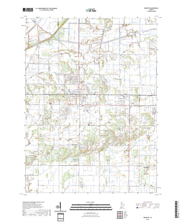
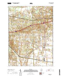
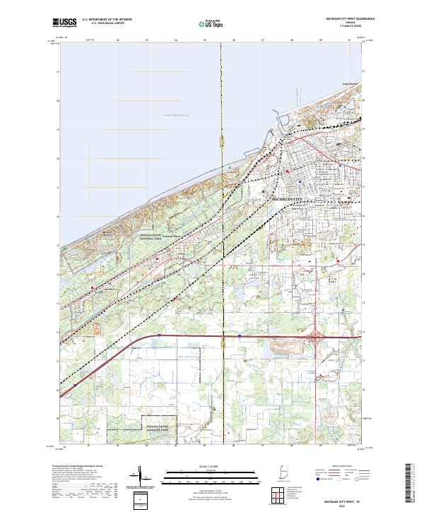
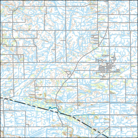
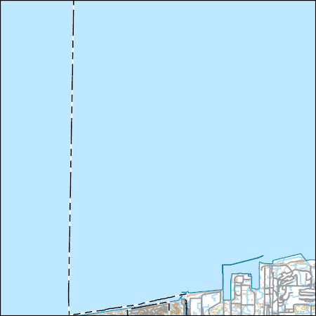
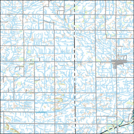
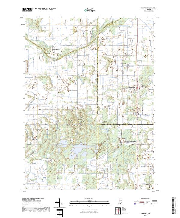
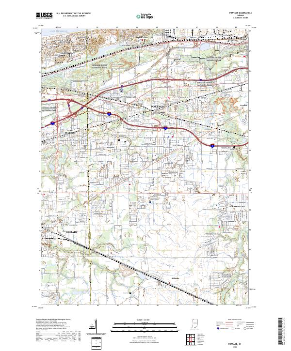
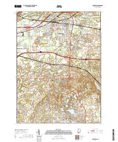
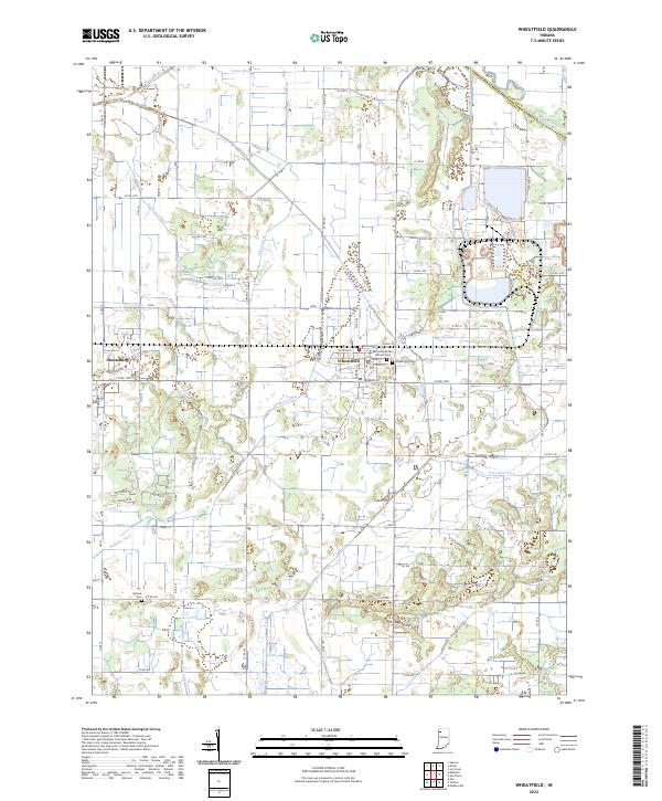
Layered geospatial PDF 7.5 Minute Quadrangle Map. Layers of geospatial data include orthoimagery, roads, grids, geographic names, elevation contours, hydrography, and other selected map features. This map is derived from GIS (geospatial information system) data. It represents a repackaging of GIS data in traditional map form, not creation of new information. The geospatial data in this map are from selected National Map data holdings and other government sources.

The High Resolution National Hydrography Dataset Plus (NHDPlus HR) is an integrated set of geospatial data layers, including the best available National Hydrography Dataset (NHD), the 10-meter 3D Elevation Program Digital Elevation Model (3DEP DEM), and the National Watershed Boundary Dataset (WBD). The NHDPlus HR combines the NHD, 3DEP DEMs, and WBD to create a stream network with linear referencing, feature naming, "value added attributes" (VAAs), elevation-derived catchments, and other features for hydrologic data analysis. The stream network with linear referencing is a system of data relationships applied to hydrographic systems so that one stream reach "flows" into another and "events" can be tied to and traced...
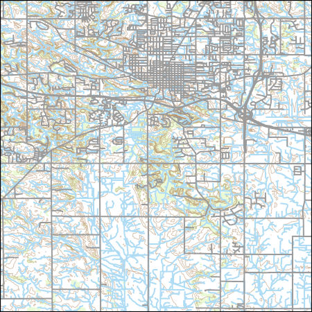
Layers of geospatial data include contours, boundaries, land cover, hydrography, roads, transportation, geographic names, structures, and other selected map features.
Types: Citation;
Tags: 7.5 x 7.5 minute,
7_5_Min,
Combined Vector,
Combined Vector,
Combined Vector,
Layered geospatial PDF 7.5 Minute Quadrangle Map. Layers of geospatial data include orthoimagery, roads, grids, geographic names, elevation contours, hydrography, and other selected map features. This map is derived from GIS (geospatial information system) data. It represents a repackaging of GIS data in traditional map form, not creation of new information. The geospatial data in this map are from selected National Map data holdings and other government sources.
Layered geospatial PDF 7.5 Minute Quadrangle Map. Layers of geospatial data include orthoimagery, roads, grids, geographic names, elevation contours, hydrography, and other selected map features. This map is derived from GIS (geospatial information system) data. It represents a repackaging of GIS data in traditional map form, not creation of new information. The geospatial data in this map are from selected National Map data holdings and other government sources.

Layers of geospatial data include contours, boundaries, land cover, hydrography, roads, transportation, geographic names, structures, and other selected map features.
Types: Citation;
Tags: 7.5 x 7.5 minute,
7_5_Min,
Combined Vector,
Combined Vector,
Combined Vector,
Layers of geospatial data include contours, boundaries, land cover, hydrography, roads, transportation, geographic names, structures, and other selected map features.
Types: Citation;
Tags: 7.5 x 7.5 minute,
7_5_Min,
Combined Vector,
Combined Vector,
Combined Vector,
Layers of geospatial data include contours, boundaries, land cover, hydrography, roads, transportation, geographic names, structures, and other selected map features.
Types: Citation;
Tags: 7.5 x 7.5 minute,
7_5_Min,
Combined Vector,
Combined Vector,
Combined Vector,
Layered geospatial PDF 7.5 Minute Quadrangle Map. Layers of geospatial data include orthoimagery, roads, grids, geographic names, elevation contours, hydrography, and other selected map features. This map is derived from GIS (geospatial information system) data. It represents a repackaging of GIS data in traditional map form, not creation of new information. The geospatial data in this map are from selected National Map data holdings and other government sources.
Layered geospatial PDF 7.5 Minute Quadrangle Map. Layers of geospatial data include orthoimagery, roads, grids, geographic names, elevation contours, hydrography, and other selected map features. This map is derived from GIS (geospatial information system) data. It represents a repackaging of GIS data in traditional map form, not creation of new information. The geospatial data in this map are from selected National Map data holdings and other government sources.
The geographic information system (GIS) format spatial data set of vegetation for Indiana Dunes National Lakeshore (INDU) was created by the U.S. Geological Survey (USGS)-National Park Service (NPS) Vegetation Mapping Program (VMP). The INDU covers an area of approximately 37,050 ha (15,000 acres), and includes approximately 15 miles of Lake Michigan shoreline. Indiana Dunes National Lakeshore is divided into seven units (East Unit, West Unit, Calumet Prairie, Heron Rookery, Hobart Prairie Grove, Hoosier Prairie, and Pinhook Bog). The map classification scheme used to create the vegetation data set is designed to represent local plant communities at the finest level possible using the National Vegetation Classification...
Layers of geospatial data include contours, boundaries, land cover, hydrography, roads, transportation, geographic names, structures, and other selected map features.
Types: Citation;
Tags: 7.5 x 7.5 minute,
7_5_Min,
Combined Vector,
Combined Vector,
Combined Vector,
Layered geospatial PDF 7.5 Minute Quadrangle Map. Layers of geospatial data include orthoimagery, roads, grids, geographic names, elevation contours, hydrography, and other selected map features. This map is derived from GIS (geospatial information system) data. It represents a repackaging of GIS data in traditional map form, not creation of new information. The geospatial data in this map are from selected National Map data holdings and other government sources.
Layered geospatial PDF 7.5 Minute Quadrangle Map. Layers of geospatial data include orthoimagery, roads, grids, geographic names, elevation contours, hydrography, and other selected map features. This map is derived from GIS (geospatial information system) data. It represents a repackaging of GIS data in traditional map form, not creation of new information. The geospatial data in this map are from selected National Map data holdings and other government sources.
Layered geospatial PDF 7.5 Minute Quadrangle Map. Layers of geospatial data include orthoimagery, roads, grids, geographic names, elevation contours, hydrography, and other selected map features. This map is derived from GIS (geospatial information system) data. It represents a repackaging of GIS data in traditional map form, not creation of new information. The geospatial data in this map are from selected National Map data holdings and other government sources.
Layered geospatial PDF 7.5 Minute Quadrangle Map. Layers of geospatial data include orthoimagery, roads, grids, geographic names, elevation contours, hydrography, and other selected map features. This map is derived from GIS (geospatial information system) data. It represents a repackaging of GIS data in traditional map form, not creation of new information. The geospatial data in this map are from selected National Map data holdings and other government sources.
Potential Wetland Extent Along the Kankakee River Between USGS Gaging Stations 05515500 and 05518000
The Wetland Reserve Program (WRP) is a voluntary program administered by the NRCS. It provides technical and financial assistance to private landowners and Tribes to restore, protect, and enhance wetlands in exchange for retiring eligible land from agriculture. For a site to be a wetland eligible for restoration, it must be in a zone with sustained or frequent flooding for a period of 7 consecutive days on average at least once every 2 years (a value termed the 7MQ2). This study calculated the 7MQ2 flows for all the U.S. Geological Survey streamgages within the selected study reaches. These flows were related to the stage discharge tables for each streamgage and a corresponding elevation was determined. By use of...
The US Army Corps of Engineers (USACE) is evaluating the placement of dredged material in the nearshore areas of Lake Michigan as a means to replenish sand at selected beaches. In order to elucidate the physical processes in the nearshore environment that transport and distribute sand to the beach, the USACE-Chicago District and the US Geological Survey (USGS) developed a plan for a beach replenishment study on Lake Michigan near Burns Harbor/Ogden Dunes, Indiana. In support of this effort, a backpack-mounted Trimble Ag132 RTK-dGPS was used for two surveys of beach topography (August 9, 2016, and October 11, 2016) in the study area.
Categories: Data;
Types: Citation;
Tags: Burns Harbor,
GPS measurement,
Indiana,
Lake Michigan,
Ogden Dunes,
The US Army Corps of Engineers (USACE) is evaluating the placement of dredged material in the nearshore areas of Lake Michigan as a means to replenish sand at selected beaches. In order to elucidate the physical processes in the nearshore environment that transport and distribute sand to the beach, the USACE-Chicago District and the US Geological Survey (USGS) developed a plan for a beach nourishment study on Lake Michigan near Burns Harbor/Ogden Dunes, Indiana. In support of this effort, the USGS deployed an upward-profiling acoustic Doppler current profiler (ADCP) to the Burns Harbor/Ogden Dunes study area to collect wave and current data. The ADCP was located at the following World Geodetic System 1984 (WGS84)...
Categories: Data;
Types: Citation;
Tags: Burns Harbor,
Indiana,
Lake Michigan,
Ogden Dunes,
Portage, IN,
Layered geospatial PDF 7.5 Minute Quadrangle Map. Layers of geospatial data include orthoimagery, roads, grids, geographic names, elevation contours, hydrography, and other selected map features. This map is derived from GIS (geospatial information system) data. It represents a repackaging of GIS data in traditional map form, not creation of new information. The geospatial data in this map are from selected National Map data holdings and other government sources.
|

|
