Filters: Tags: Region (X) > Types: Citation (X)
12 results (17ms)|
Filters
Date Range
Extensions Types
Contacts
Categories Tag Types Tag Schemes |
An area encompassing all the National Forest System lands within the Greater Yellowstone Ecosystem (GYE) administered by an administrative unit. The area encompasses private lands, other governmental agency lands, and may contain National Forest System lands within the proclaimed boundaries of another administrative unit. All National Forest System lands fall within one and only one Administrative Forest Area.
This layer represents the number of Tier 1 fish species known to occur in each HUC10 watershed in the state, according to data available in CPW’s fish database as of December 2014. There are 25 fish species on the Tier 1 SGCN list; a maximum of eight different species occur in the same watershed. This map is an indicator of species richness only; it does not consider relative habitat quality, or population metrics such as density or abundance, across watersheds.
Categories: Data;
Types: Citation,
Downloadable,
Map Service,
OGC WFS Layer,
OGC WMS Layer,
Shapefile;
Tags: Basin,
HUC,
HUC12,
Hydrologic Unit Code,
Hydrologic Units,

The USGS National Hydrography Dataset (NHD) service from The National Map (TNM) is a comprehensive set of digital spatial data that encodes information about naturally occurring and constructed bodies of surface water (lakes, ponds, and reservoirs), paths through which water flows (canals, ditches, streams, and rivers), and related entities such as point features (springs, wells, stream gages, and dams). The information encoded about these features includes classification and other characteristics, delineation, geographic name, position and related measures, a "reach code" through which other information can be related to the NHD, and the direction of water flow. The network of reach codes delineating water and...
The distribution and abundance of the greater sage-grouse (Centrocercus urophasianus) have declined dramatically, and as a result the species has become the focus of conservation efforts. We conducted a range-wide genetic survey of the species which included 46 populations and over 1000 individuals using both mitochondrial sequence data and data from seven nuclear microsatellites. Nested clade and STRUCTURE analyses revealed that, in general, the greater sage-grouse populations follow an isolation-by-distance model of restricted gene flow. This suggests that movements of the greater sage-grouse are typically among neighbouring populations and not across the species, range. This may have important implications if...
Categories: Publication;
Types: Citation,
Journal Citation;
Tags: Colorado,
Molecular Ecology,
allele frequency data,
centrocercus,
cladistic analysis,

The National Hydrography Dataset (NHD) is a feature-based database that interconnects and uniquely identifies the stream segments or reaches that make up the nation's surface water drainage system. NHD data was originally developed at 1:100,000-scale and exists at that scale for the whole country. This high-resolution NHD, generally developed at 1:24,000/1:12,000 scale, adds detail to the original 1:100,000-scale NHD. (Data for Alaska, Puerto Rico and the Virgin Islands was developed at high-resolution, not 1:100,000 scale.) Local resolution NHD is being developed where partners and data exist. The NHD contains reach codes for networked features, flow direction, names, and centerline representations for areal water...
Categories: Data;
Types: Citation;
Tags: Administrative watershed units,
Area of Complex Channels,
Area to be submerged,
Basin,
Bay/Inlet,
In order to step up its efforts in reducing climate change, the European Commission (hereafter: the Commission) has launched in June 2000 its European climate change program (hereafter: ECCP). This wide-ranging stakeholder consultation aimed at identifying and developing all elements necessary for a European climate change strategy. The ECCP formally came to a close in April 2003. This paper analyses the inner workings of ECCP, and how ECCP has delivered with regard to its objectives. Special attention is paid to ECCP's Working Group 1, "Flexible Mechanisms", which developed the foundations for the European emission trading scheme (hereafter: EU ETS). The paper draws on documents published on the Commission's ECCP...
Categories: Publication;
Types: Citation;
Tags: Asia-Pacific,
Evaluating,
approach,
energy,
energy security,
This paper formulates an input-output method for determining the distributional consequences of energy development projects. The method is oriented to the conditions appearing in many contemporary development settings where large resident populations and other factors are likely to inhibit boomtown scenarios. An analysis of geothermal energy development in Imperial County, California, is presented. The results indicate that personal income inequality is likely to increase by several percentage points as measured by the Gini coefficient. The sensitivity of the results is examined with respect to important factors such as labor supply elasticities, preferential employment of local residents, and the concentration...
Categories: Publication;
Types: Citation;
Tags: Modern,
analysis,
development,
distribution,
energy,

The High Resolution National Hydrography Dataset Plus (NHDPlus HR) is an integrated datset of geospatial data layers, including the most current National Hydrography Dataset (NHD), the 10-meter 3D Elevation Program Digital Elevation Model (3DEP DEM), and the National Watershed Boundary Dataset (WBD). The NHDPlus HR combines the NHD, 3DEP DEMs, and WBD to create a stream network with linear referencing, feature naming, "value added attributes" (VAAs), elevation-derived catchments, and other features for hydrologic data analysis. The stream network with linear referencing is a system of data relationships applied to hydrographic systems so that one stream reach "flows" into another and "events" can be tied to and...
Types: Citation;
Tags: Administrative watershed units,
Area of Complex Channels,
Area to be submerged,
Basin,
Bay/Inlet,

The Watershed Boundary Dataset (WBD) is a comprehensive aggregated collection of hydrologic unit data consistent with the national criteria for delineation and resolution. It defines the areal extent of surface water drainage to a point except in coastal or lake front areas where there could be multiple outlets as stated by the "Federal Standards and Procedures for the National Watershed Boundary Dataset (WBD)" "Standard" (https://pubs.usgs.gov/tm/11/a3/). Watershed boundaries are determined solely upon science-based hydrologic principles, not favoring any administrative boundaries or special projects, nor particular program or agency. This dataset represents the hydrologic unit boundaries to the 12-digit (6th level)...
The Watershed Boundary Dataset (WBD) is a comprehensive aggregated collection of hydrologic unit data consistent with the national criteria for delineation and resolution. It defines the areal extent of surface water drainage to a point except in coastal or lake front areas where there could be multiple outlets as stated by the "Federal Standards and Procedures for the National Watershed Boundary Dataset (WBD)" "Standard" (https://pubs.usgs.gov/tm/11/a3/). Watershed boundaries are determined solely upon science-based hydrologic principles, not favoring any administrative boundaries or special projects, nor particular program or agency. This dataset represents the hydrologic unit boundaries to the 12-digit (6th level)...

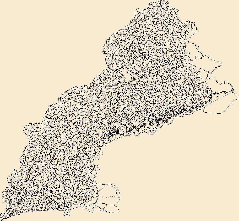
The Watershed Boundary Dataset (WBD) from The National Map (TNM) defines the perimeter of drainage areas formed by the terrain and other landscape characteristics. The drainage areas are nested within each other so that a large drainage area, such as the Upper Mississippi River, will be composed of multiple smaller drainage areas, such as the Wisconsin River. Each of these smaller areas can further be subdivided into smaller and smaller drainage areas. The WBD uses six different levels in this hierarchy, with the smallest averaging about 30,000 acres. The WBD is made up of polygons nested into six levels of data respectively defined by Regions, Subregions, Basins, Subbasins, Watersheds, and Subwatersheds. For additional...
Types: Citation;
Tags: Administrative watershed units,
Administrative watershed units,
Basin,
Basin,
Boundaries,
Aquatic Ecological Focus Areas were based on The Nature Conservancy’s priority streams and by the Special Aquatic Life Use streams defined by the Kansas Department of Health and Environment, with some exclusions based on expert opinion. The selected streams were buffered by 100 m; 12-digit HUCs that intersect the buffers comprise the EFAs.
Categories: Data;
Types: Citation,
Downloadable,
Map Service,
OGC WFS Layer,
OGC WMS Layer,
Shapefile;
Tags: Basin,
HUC,
Hydrologic Unit Code,
Hydrologic Units,
Region,
|

|
