Filters: Tags: Rio Grande (X)
404 results (131ms)|
Filters
Date Range
Extensions
Types Contacts
Categories Tag Types
|
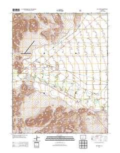
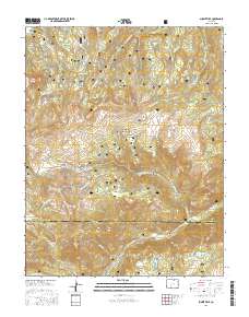
Layered GeoPDF 7.5 Minute Quadrangle Map. Layers of geospatial data include orthoimagery, roads, grids, geographic names, elevation contours, hydrography, and other selected map features.
Layered GeoPDF 7.5 Minute Quadrangle Map. Layers of geospatial data include orthoimagery, roads, grids, geographic names, elevation contours, hydrography, and other selected map features.
Layered GeoPDF 7.5 Minute Quadrangle Map. Layers of geospatial data include orthoimagery, roads, grids, geographic names, elevation contours, hydrography, and other selected map features.
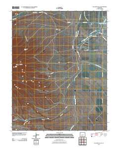
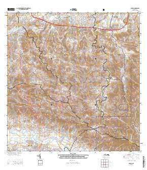
Layered geospatial PDF Map. Layers of geospatial data include orthoimagery, roads, grids, geographic names, elevation contours, hydrography, and other selected map features.
Layered geospatial PDF Map. Layers of geospatial data include orthoimagery, roads, grids, geographic names, elevation contours, hydrography, and other selected map features.
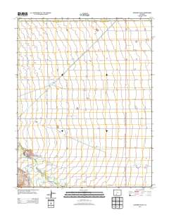
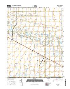
Layered GeoPDF Quadrangle Map. Layers of geospatial data include orthoimagery, roads, grids, geographic names, elevation contours, hydrography, and other selected map features.
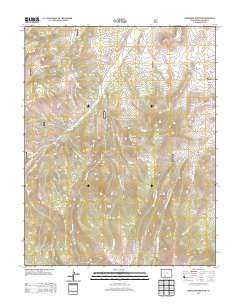
Layered geospatial PDF Map. Layers of geospatial data include orthoimagery, roads, grids, geographic names, elevation contours, hydrography, and other selected map features.
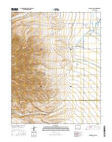
Layered GeoPDF 7.5 Minute Quadrangle Map. Layers of geospatial data include orthoimagery, roads, grids, geographic names, elevation contours, hydrography, and other selected map features.
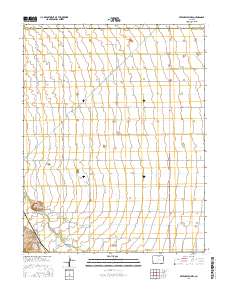
Layered geospatial PDF Map. Layers of geospatial data include orthoimagery, roads, grids, geographic names, elevation contours, hydrography, and other selected map features.
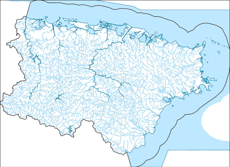
The National Hydrography Dataset (NHD) is a feature-based database that interconnects and uniquely identifies the stream segments or reaches that make up the nation's surface water drainage system. NHD data was originally developed at 1:100,000-scale and exists at that scale for the whole country. This high-resolution NHD, generally developed at 1:24,000/1:12,000 scale, adds detail to the original 1:100,000-scale NHD. (Data for Alaska, Puerto Rico and the Virgin Islands was developed at high-resolution, not 1:100,000 scale.) Local resolution NHD is being developed where partners and data exist. The NHD contains reach codes for networked features, flow direction, names, and centerline representations for areal water...
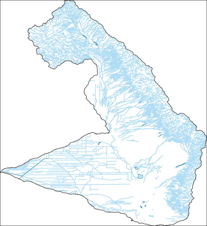
The National Hydrography Dataset (NHD) is a feature-based database that interconnects and uniquely identifies the stream segments or reaches that make up the nation's surface water drainage system. NHD data was originally developed at 1:100,000-scale and exists at that scale for the whole country. This high-resolution NHD, generally developed at 1:24,000/1:12,000 scale, adds detail to the original 1:100,000-scale NHD. (Data for Alaska, Puerto Rico and the Virgin Islands was developed at high-resolution, not 1:100,000 scale.) Local resolution NHD is being developed where partners and data exist. The NHD contains reach codes for networked features, flow direction, names, and centerline representations for areal water...
**Executive Summary: **The Big Bend reach of the Rio Grande is an important region for binational collaboration on ecosystem management and restoration. The river is well protected from further development as a national wild and scenic river and by national and state parks on both sides of the border, but has been degraded over time primarily by altered hydrology, water quality degradation, and non-native species impacts. The success of future restoration and management efforts depend on a fuller understanding of the linkages between physical and chemical processes and biotic communities. A robust monitoring program in the region and targeted research are needed to supply this understanding. In this report, we synthesize...
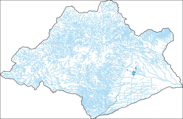
The National Hydrography Dataset (NHD) is a feature-based database that interconnects and uniquely identifies the stream segments or reaches that make up the nation's surface water drainage system. NHD data was originally developed at 1:100,000-scale and exists at that scale for the whole country. This high-resolution NHD, generally developed at 1:24,000/1:12,000 scale, adds detail to the original 1:100,000-scale NHD. (Data for Alaska, Puerto Rico and the Virgin Islands was developed at high-resolution, not 1:100,000 scale.) Local resolution NHD is being developed where partners and data exist. The NHD contains reach codes for networked features, flow direction, names, and centerline representations for areal water...
The National Hydrography Dataset (NHD) is a feature-based database that interconnects and uniquely identifies the stream segments or reaches that make up the nation's surface water drainage system. NHD data was originally developed at 1:100,000-scale and exists at that scale for the whole country. This high-resolution NHD, generally developed at 1:24,000/1:12,000 scale, adds detail to the original 1:100,000-scale NHD. (Data for Alaska, Puerto Rico and the Virgin Islands was developed at high-resolution, not 1:100,000 scale.) Local resolution NHD is being developed where partners and data exist. The NHD contains reach codes for networked features, flow direction, names, and centerline representations for areal water...
La Botica is positioned on a topographic bench sharply inset into the gentle eastern slope of the high San Juan Mountains and perched ~70-80 meters above La Jara Creek (fig. 1), a tributary to the Rio Grande. Quaternary surface processes have modified the Tertiary bedrock deposits that underlie La Botica to shape the physical environment. Bedrock deposits consist of Oligocene to Pliocene volcanic and sedimentary deposits related to the Rio Grande rift and the San Juan volcanic locus of the Southern Rocky Mountains volcanic field. Bedrock deposits are mildly deformed by normal faulting and eastward tilting related to the onset of extensional deformation in the Oligocene and formation of the San Luis Basin. Bedrock...
Categories: Data;
Tags: La Botica,
La Jara Creek,
Rio Grande,
San Juan Mountains,
South-Central Colorado,
Conditional Flame Length (CFL) is an estimate of the mean flame lengths for each pixel, and was predicted for the 2080-2100 period in the Rio Grande area using: 1) data developed from the 2014 Fire Program Analysis (FPA) system; 2) geospatial Fire Simulation (FSim) system developed by the US Forest Service Missoula Fire Sciences Laboratory to estimate probabilistic components of wildfire risk (Finney et al. 2011); and 3) climate predictions developed using the Multivariate Adaptive Constructed Analogs (MACA) method (Abatzoglou and Brown 2011) which downscaled model output from the GFDL-ESM-2m global climate model of the Coupled Model Inter-Comparison Project 5 for the 8.5 Representative Concentration Pathway. CFL...
Categories: Data;
Types: ArcGIS REST Map Service,
ArcGIS Service Definition,
Downloadable,
Map Service;
Tags: conditional flame length,
fire,
future climate,
gis,
rio grande,
Fire Intensity raster dataset predicted for the 2080-2100 period in the Rio Grande area was generated using: 1) data developed from the 2014 Fire Program Analysis (FPA) system; 2) geospatial Fire Simulation (FSim) system developed by the US Forest Service Missoula Fire Sciences Laboratory to estimate probabilistic components of wildfire risk (Finney et al. 2011); and 3) climate predictions developed using the Multivariate Adaptive Constructed Analogs (MACA) method (Abatzoglou and Brown 2011) which downscaled model output from the GFDL-ESM-2m global climate model of the Coupled Model Inter-Comparison Project 5 for the 8.5 Representative Concentration Pathway.
Categories: Data;
Types: ArcGIS REST Map Service,
ArcGIS Service Definition,
Downloadable,
Map Service;
Tags: fire,
fire intensity,
future climate,
gis,
rio grande,
The Geographic Names Information System (GNIS) is the Federal standard for geographic nomenclature. The U.S. Geological Survey developed the GNIS for the U.S. Board on Geographic Names, a Federal inter-agency body chartered by public law to maintain uniform feature name usage throughout the Government and to promulgate standard names to the public. The GNIS is the official repository of domestic geographic names data; the official vehicle for geographic names use by all departments of the Federal Government; and the source for applying geographic names to Federal electronic and printed products of all types.

USGS Historical Quadrangle in GeoPDF.

USGS Historical Quadrangle in GeoPDF.
|

|
