Filters: Tags: Sacramento (X)
250 results (120ms)|
Filters
Date Range
Extensions Types Contacts
Categories Tag Types
|
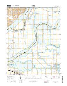
Layered GeoPDF 7.5 Minute Quadrangle Map. Layers of geospatial data include orthoimagery, roads, grids, geographic names, elevation contours, hydrography, and other selected map features.
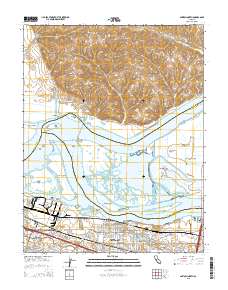
Layered GeoPDF 7.5 Minute Quadrangle Map. Layers of geospatial data include orthoimagery, roads, grids, geographic names, elevation contours, hydrography, and other selected map features.
Layered GeoPDF 7.5 Minute Quadrangle Map. Layers of geospatial data include orthoimagery, roads, grids, geographic names, elevation contours, hydrography, and other selected map features.
Matlab code to simulate equilibrium geometry of selected cross-sections on the Lower American and Sacramento Rivers in California.
Categories: Data;
Tags: American River,
California,
Lower American,
Lower American,
Lower Sacramento,
Post-Eocene (predominantly Pliocene) continental sedimentary rocks of the Sacramento Valley, CA are up to 1,200 m thick beneath the valley. These rocks contain most of the fresh ground water in the valley, forming a key component of the total water budget for the valley. A 1974 study by the U.S. Geological Survey was an early attempt to develop detailed knowledge of the subsurface geology of the Sacramento Valley. The study delineated the configuration of the base post-Eocene continental sedimentary rocks of the Sacramento Valley and mapped the thickness of those deposits. This digital dataset contains spatial datasets corresponding to the contoured base and thickness of the post-Eocene continental sedimentary rocks...
Categories: Data;
Tags: California,
Central Valley aquifer system,
Sacramento,
Sedimentology,
Stratigraphy,

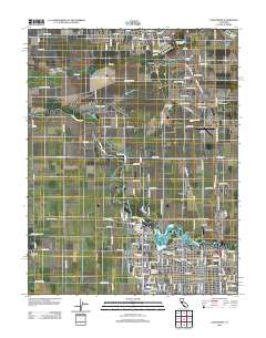
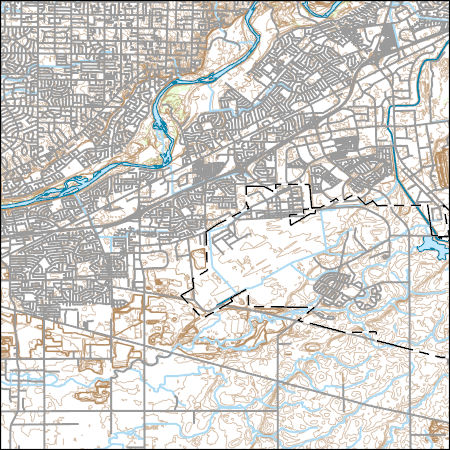
USGS Historical Quadrangle in GeoPDF.

USGS Historical Quadrangle in GeoPDF.

USGS Historical Quadrangle in GeoPDF.
USGS Historical Quadrangle in GeoPDF.

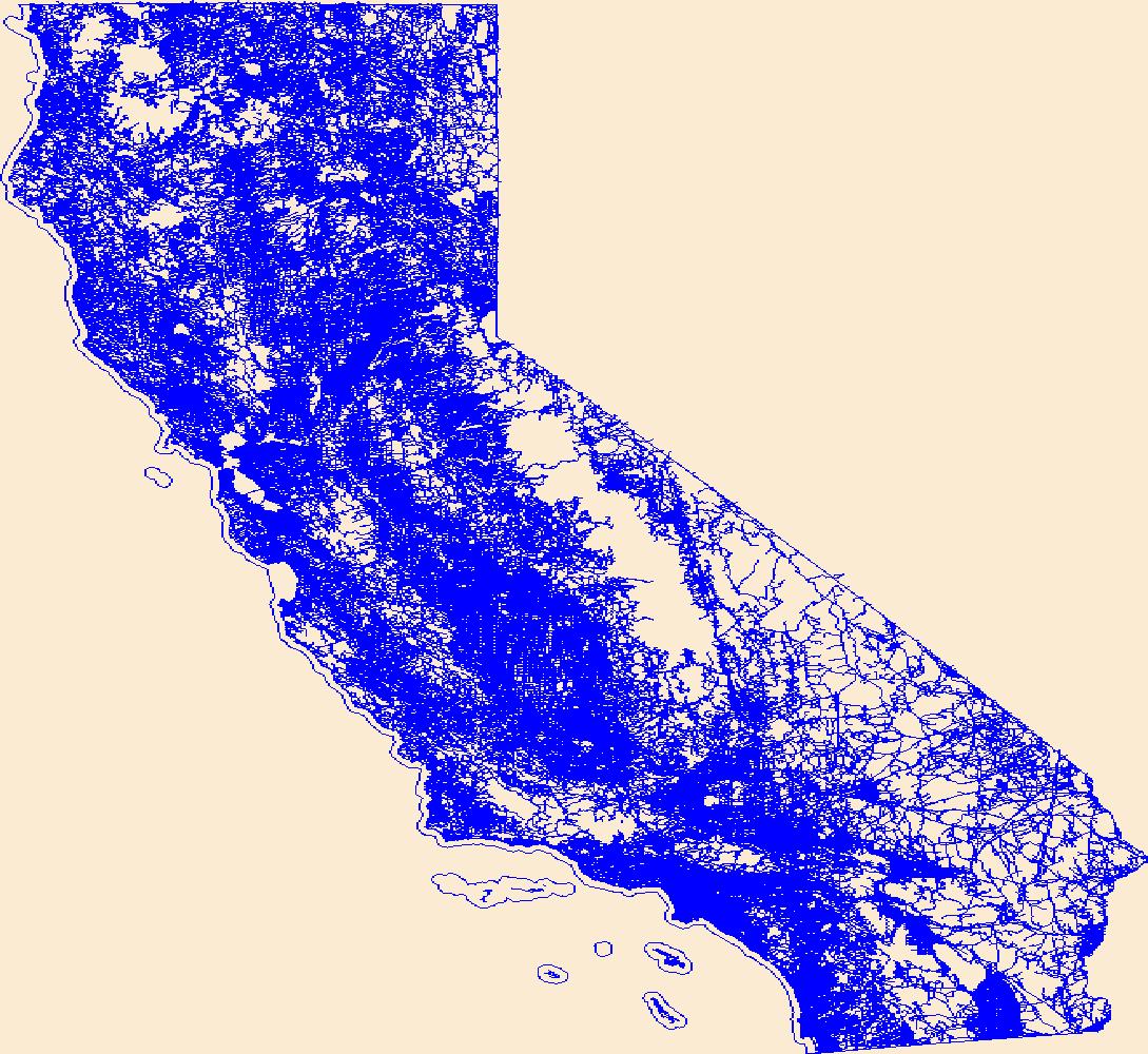
The National Hydrography Dataset (NHD) is a feature-based database that interconnects and uniquely identifies the stream segments or reaches that make up the nation's surface water drainage system. NHD data was originally developed at 1:100,000-scale and exists at that scale for the whole country. This high-resolution NHD, generally developed at 1:24,000/1:12,000 scale, adds detail to the original 1:100,000-scale NHD. (Data for Alaska, Puerto Rico and the Virgin Islands was developed at high-resolution, not 1:100,000 scale.) Local resolution NHD is being developed where partners and data exist. The NHD contains reach codes for networked features, flow direction, names, and centerline representations for areal water...
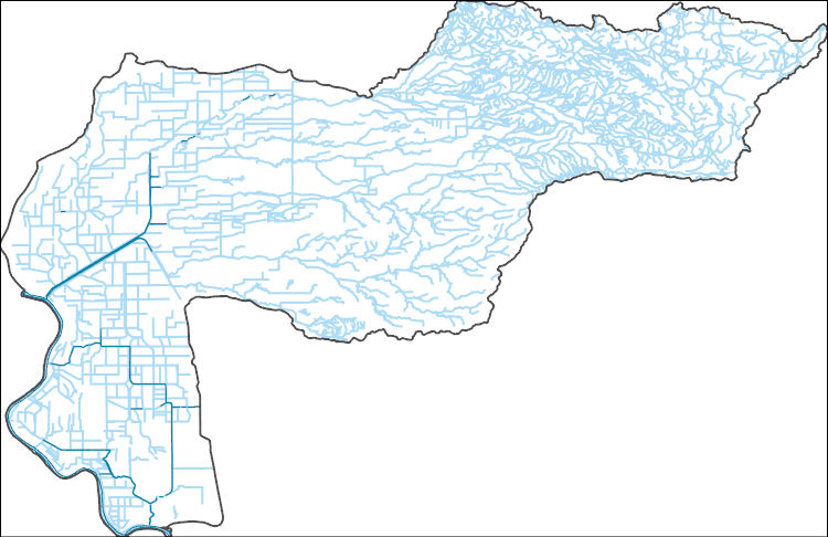
The National Hydrography Dataset (NHD) is a feature-based database that interconnects and uniquely identifies the stream segments or reaches that make up the nation's surface water drainage system. NHD data was originally developed at 1:100,000-scale and exists at that scale for the whole country. This high-resolution NHD, generally developed at 1:24,000/1:12,000 scale, adds detail to the original 1:100,000-scale NHD. (Data for Alaska, Puerto Rico and the Virgin Islands was developed at high-resolution, not 1:100,000 scale.) Local resolution NHD is being developed where partners and data exist. The NHD contains reach codes for networked features, flow direction, names, and centerline representations for areal water...
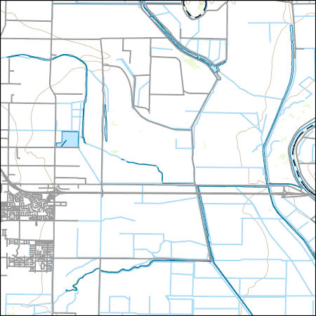
Layers of geospatial data include contours, boundaries, land cover, hydrography, roads, transportation, geographic names, structures, and other selected map features.
Layers of geospatial data include contours, boundaries, land cover, hydrography, roads, transportation, geographic names, structures, and other selected map features.
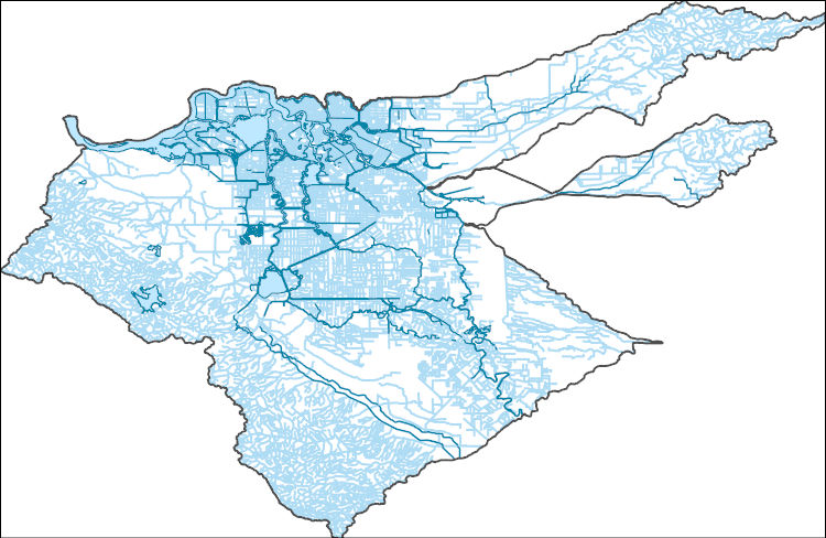
The National Hydrography Dataset (NHD) is a feature-based database that interconnects and uniquely identifies the stream segments or reaches that make up the nation's surface water drainage system. NHD data was originally developed at 1:100,000-scale and exists at that scale for the whole country. This high-resolution NHD, generally developed at 1:24,000/1:12,000 scale, adds detail to the original 1:100,000-scale NHD. (Data for Alaska, Puerto Rico and the Virgin Islands was developed at high-resolution, not 1:100,000 scale.) Local resolution NHD is being developed where partners and data exist. The NHD contains reach codes for networked features, flow direction, names, and centerline representations for areal water...
The USGS CAWSC Organic Matter Research Laboratory (OMRL) provides laboratory services and support to regional and national projects in the analysis of organic matter using the latest methods in absorbance and fluorescence spectroscopy. Optical measurements such as absorbance and fluorescence are used to gain insight into dissolved organic matter (DOM) composition, and can also serve as proxies for more expensive and difficult to obtain measurements. These techniques are relatively rapid and inexpensive and allow for the comprehensive tracking of DOM dynamics in aquatic ecosystems ranging from rivers and lakes to estuaries to open marine systems. Absorbance spectra and fluorescence matrices were simultaneously collected...
Categories: Data;
Tags: Aqualog,
California,
California Water Science Center,
Dissolved Organic Matter,
Fluorescence,
This data was developed to support the Santa Clara Valley Habitat Conservation Plan
Categories: Data;
Types: ArcGIS REST Map Service,
ArcGIS Service Definition,
Downloadable,
Map Service;
Tags: Habitat Conservation Plan,
Sacramento,
Santa Clara Valley,
US FWS
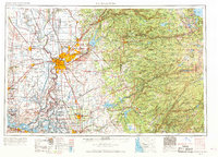
Layers of geospatial data include roads, airports, trails, and railroads.
Distant view of the Frisco Gold leach site.
This data set contains imagery from the National Agriculture Imagery Program (NAIP). The NAIP program is administered by USDA FSA and has been established to support two main FSA strategic goals centered on agricultural production. These are, increase stewardship of America's natural resources while enhancing the environment, and to ensure commodities are procured and distributed effectively and efficiently to increase food security. The NAIP program supports these goals by acquiring and providing ortho imagery that has been collected during the agricultural growing season in the U.S. The NAIP ortho imagery is tailored to meet FSA requirements and is a fundamental tool used to support FSA farm and conservation programs....
This data set contains imagery from the National Agriculture Imagery Program (NAIP). The NAIP program is administered by USDA FSA and has been established to support two main FSA strategic goals centered on agricultural production. These are, increase stewardship of America's natural resources while enhancing the environment, and to ensure commodities are procured and distributed effectively and efficiently to increase food security. The NAIP program supports these goals by acquiring and providing ortho imagery that has been collected during the agricultural growing season in the U.S. The NAIP ortho imagery is tailored to meet FSA requirements and is a fundamental tool used to support FSA farm and conservation programs....
|

|
