Filters: Tags: Sacramento County (X)
135 results (68ms)|
Filters
Date Range
Extensions Types Contacts
Categories Tag Types Tag Schemes |
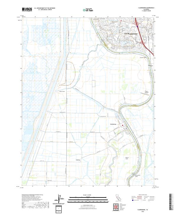
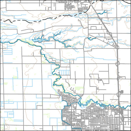
USGS Topo Map Vector Data (Vector) 22173 Isleton, California 20220510 for 7.5 x 7.5 minute Shapefile
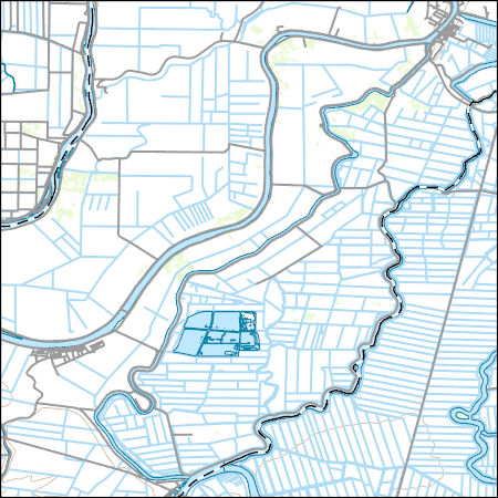
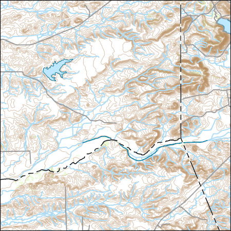
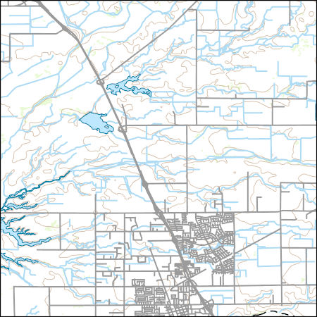
Layers of geospatial data include contours, boundaries, land cover, hydrography, roads, transportation, geographic names, structures, and other selected map features.
Layers of geospatial data include contours, boundaries, land cover, hydrography, roads, transportation, geographic names, structures, and other selected map features.
Layers of geospatial data include contours, boundaries, land cover, hydrography, roads, transportation, geographic names, structures, and other selected map features.
The U.S. Geological Survey collected groundwater samples from 49 wells used for domestic and small system drinking water supplies in Amador, Placer, Sutter, and Sacramento Counties, California in 2017. The wells were sampled for the Sacramento Metropolitan (SacMetro) Shallow Aquifer Study Unit of the California State Water Resources Control Board Groundwater Ambient Monitoring and Assessment (GAMA) Program Priority Basin Project’s assessment of the quality of groundwater resources used for domestic and small system drinking water supplies. Domestic and small-system wells are commonly screened at shallower depths than public-supply wells. The SacMetro study unit consisted of three “study areas” corresponding to three...
Types: Map Service,
OGC WFS Layer,
OGC WMS Layer,
OGC WMS Service;
Tags: Amador County,
California,
Environment,
GAMA,
Groundwater,
The U.S. Geological Survey (USGS) used the Borehole data to characterize the hydrogeology in the Central Valley of California for the updated Central Valley Hydrologic Model (CVHM2). These data encompass the inputs and outputs for the three-dimensional (3D) hydrogeologic Framework for the Central Valley, California, a part of the Central Valley Hydraulic Framework version 2 (CVHM2) project. These files include the shapefiles with flow layers (Flow_model_grid.zip), a scatter dataset of the modeled Central Valley (PercentCoarse_CV_50ft.csv), and the well log information and kriging parameters for the Central Valley (Kriging_Table.xlxs).
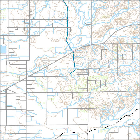
Layers of geospatial data include contours, boundaries, land cover, hydrography, roads, transportation, geographic names, structures, and other selected map features.
Layers of geospatial data include contours, boundaries, land cover, hydrography, roads, transportation, geographic names, structures, and other selected map features.

These data were released prior to the October 1, 2016 effective date for the USGS’s policy dictating the review, approval, and release of scientific data as referenced in USGS Survey Manual Chapter 502.8 Fundamental Science Practices: Review and Approval of Scientific Data for Release. This digital dataset defines the extent of the alluvial deposits in the Central Valley of California and encompasses the contiguous Sacramento, San Joaquin, and Tulare Lake groundwater basins defined by California's Department of Water Resources. The boundary encompasses an approximate 50,000 square-kilometer region of California. The boundary was used to define the lateral boundary of the area simulated by the transient Central...
Categories: pre-SM502.8;
Tags: Alameda County,
Amador County,
Butte County,
CV-RASA,
Calaveras County,

These data were released prior to the October 1, 2016 effective date for the USGS’s policy dictating the review, approval, and release of scientific data as referenced in USGS Survey Manual Chapter 502.8 Fundamental Science Practices: Review and Approval of Scientific Data for Release. This digital dataset contains the name and location for the inflows to the surface-water network for the Central Valley Hydrologic Model (CVHM). The Central Valley encompasses an approximate 50,000-square-kilometer region of California. The complex hydrologic system of the Central Valley is simulated using the USGS numerical modeling code MODFLOW-FMP (Schmid and others, 2006b). This simulation is referred to here as the CVHM (Faunt,...
Categories: pre-SM502.8;
Tags: Alameda County,
Amador County,
Butte County,
CV-RASA,
Calaveras County,

These data were released prior to the October 1, 2016 effective date for the USGS’s policy dictating the review, approval, and release of scientific data as referenced in USGS Survey Manual Chapter 502.8 Fundamental Science Practices: Review and Approval of Scientific Data for Release. Abstract: This digital dataset contains the virtual wells used for pumpage for the Central Valley Hydrologic Model (CVHM). The Central Valley encompasses an approximate 50,000 square-kilometer region of California. The complex hydrologic system of the Central Valley is simulated using the U.S. Geological Survey (USGS) numerical modeling code MODFLOW-FMP (Schmid and others, 2006). This simulation is referred to here as the CVHM (Faunt,...
Categories: pre-SM502.8;
Tags: Alameda County,
Amador County,
Butte County,
CV-RASA,
Calaveras County,
This data release has been deprecated. Please see new data release here: https://doi.org/10.5066/P9ETQ00R The U.S. Geological Survey Groundwater Ambient Monitoring and Assessment-Priority Basin Project (USGS GAMA-PBP) collected samples to be analyzed for per-and polyfluoroalkyl substances (PFAS) from domestic and public supply wells from May 2019 to June 2021. The datasets presented here include identification of the 28 PFAS constituents monitored by the project, Identification and brief characterization of the 395 GAMA-PBP wells for which samples were analyzed for PFAS during the study period, and analytical results for those groundwater samples, along with results for quality control samples.
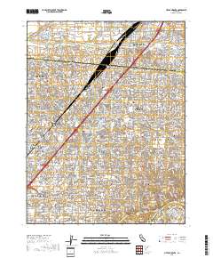
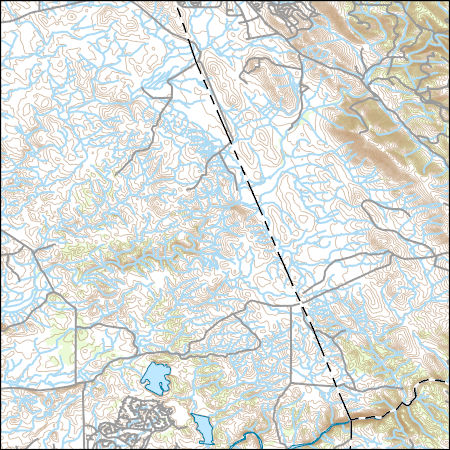
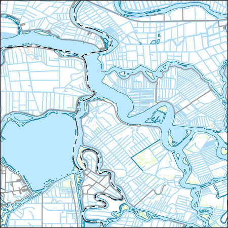
Layered geospatial PDF 7.5 Minute Quadrangle Map. Layers of geospatial data include orthoimagery, roads, grids, geographic names, elevation contours, hydrography, and other selected map features. This map is derived from GIS (geospatial information system) data. It represents a repackaging of GIS data in traditional map form, not creation of new information. The geospatial data in this map are from selected National Map data holdings and other government sources.
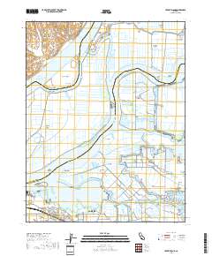
Layered geospatial PDF 7.5 Minute Quadrangle Map. Layers of geospatial data include orthoimagery, roads, grids, geographic names, elevation contours, hydrography, and other selected map features. This map is derived from GIS (geospatial information system) data. It represents a repackaging of GIS data in traditional map form, not creation of new information. The geospatial data in this map are from selected National Map data holdings and other government sources.
Layered geospatial PDF 7.5 Minute Quadrangle Map. Layers of geospatial data include orthoimagery, roads, grids, geographic names, elevation contours, hydrography, and other selected map features. This map is derived from GIS (geospatial information system) data. It represents a repackaging of GIS data in traditional map form, not creation of new information. The geospatial data in this map are from selected National Map data holdings and other government sources.
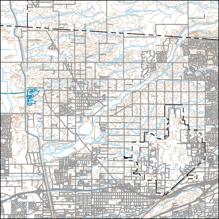
Layers of geospatial data include contours, boundaries, land cover, hydrography, roads, transportation, geographic names, structures, and other selected map features.
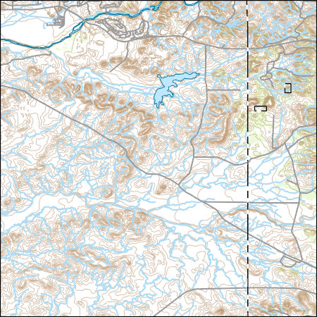
Layers of geospatial data include contours, boundaries, land cover, hydrography, roads, transportation, geographic names, structures, and other selected map features.
Layers of geospatial data include contours, boundaries, land cover, hydrography, roads, transportation, geographic names, structures, and other selected map features.
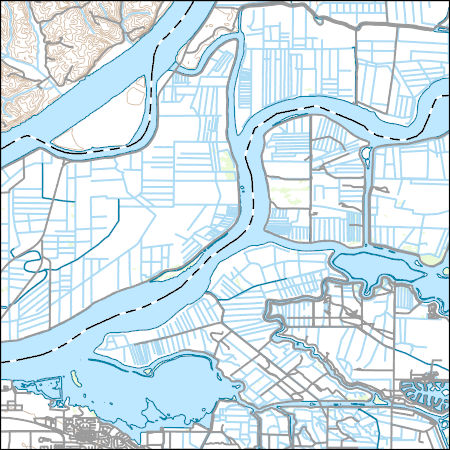
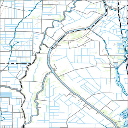
Layers of geospatial data include contours, boundaries, land cover, hydrography, roads, transportation, geographic names, structures, and other selected map features.
Layers of geospatial data include contours, boundaries, land cover, hydrography, roads, transportation, geographic names, structures, and other selected map features.
Layers of geospatial data include contours, boundaries, land cover, hydrography, roads, transportation, geographic names, structures, and other selected map features.
|

|
