Filters: Tags: Santa Cruz County (X)
639 results (70ms)|
Filters
Date Range
Extensions Types Contacts
Categories Tag Types
|
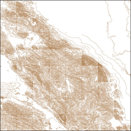
This part of DS 781 presents data for the seafloor-character map Offshore of Aptos, California. Seafloor-character data are provided as two separate grids depending on resolution of the mapping system and processing method. This metadata file refers to the data included in "SeafloorCharacter_2m_OffshoreAptos.zip," which is accessible from https://doi.org/10.5066/F7K35RQB. These data accompany the pamphlet and map sheets of Cochrane, G.R., Johnson, S.Y., Dartnell, P., Greene, H.G., Erdey, M.D, Dieter, B.E., Golden, N.E., Hartwell, S.R., Ritchie, A.C., Kvitek, r.G., Maier, K.L., Endris, C.A., Davenport, C.W., Watt, J.T., Sliter, R.W., Finlayson, D.P., and Krigsman, L.M., (G.R. Cochrane and S.A. Cochran, eds.), 2016,...
Categories: Data;
Types: Downloadable,
GeoTIFF,
Map Service,
Raster;
Tags: Aptos,
Backscatter,
Bathymetry,
CMHRP,
Coastal and Marine Hazards and Resources Program,
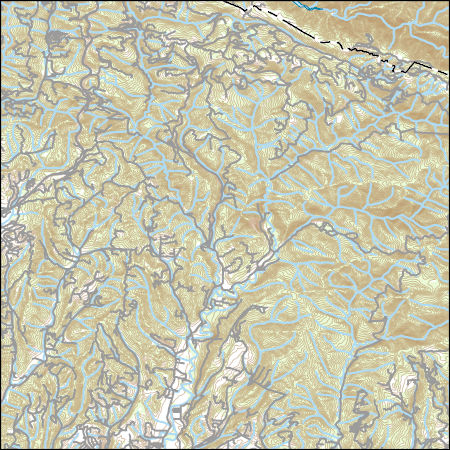
This part of DS 781 presents data for the shaded-relief map of Offshore of Aptos map area, California. Shaded-relief data are provided as two separate grids depending on mapping agency and processing method. This metadata file refers to the data included in "BathymetryAHS_USGS_OffshoreAptos.zip," which is accessible from https://doi.org/10.5066/F7K35RQB. These data accompany the pamphlet and map sheets of Cochrane, G.R., Johnson, S.Y., Dartnell, P., Greene, H.G., Erdey, M.D, Dieter, B.E., Golden, N.E., Hartwell, S.R., Ritchie, A.C., Kvitek, r.G., Maier, K.L., Endris, C.A., Davenport, C.W., Watt, J.T., Sliter, R.W., Finlayson, D.P., and Krigsman, L.M., (G.R. Cochrane and S.A. Cochran, eds.), 2016, California State...
Categories: Data;
Types: Downloadable,
GeoTIFF,
Map Service,
Raster;
Tags: Aptos,
CMHRP,
Coastal and Marine Hazards and Resources Program,
Continental/Island Shelf,
Marine Nearshore Subtidal,
These vector contour lines are derived from the 3D Elevation Program using automated and semi-automated processes. They were created to support 1:24,000-scale CONUS and Hawaii, 1:25,000-scale Alaska, and 1:20,000-scale Puerto Rico / US Virgin Island topographic map products, but are also published in this GIS vector format. Contour intervals are assigned by 7.5-minute quadrangle, so this vector dataset is not visually seamless across quadrangle boundaries. The vector lines have elevation attributes (in feet above mean sea level on NAVD88), but this dataset does not carry line symbols or annotation.
Layers of geospatial data include contours, boundaries, land cover, hydrography, roads, transportation, geographic names, structures, and other selected map features.
Layers of geospatial data include contours, boundaries, land cover, hydrography, roads, transportation, geographic names, structures, and other selected map features.
Layers of geospatial data include contours, boundaries, land cover, hydrography, roads, transportation, geographic names, structures, and other selected map features.
This data release provides 270-m resolution maps of hotspots of vulnerability to projected changes in land-use, water shortages, and climate from 2001-2061 for agricultural, domestic, and ecological communities in the Central Coast of California, USA, under five management scenarios. This data covers the counties of Santa Cruz, San Benito, Monterey, San Luis Obispo, and Santa Barbara counties, but only cover those areas overlying a groundwater basin (because these contain the overwhelming majority of regional anthropogenic land-uses). Data are provided as .zip compressed file packages containing geospatial raster surfaces (.tif format). Each map is the product of one of three types of exposure to change (land, water,...
This data contains maximum model-derived significant wave height (in meters) for the sea-level rise (SLR) and storm condition indicated. The Coastal Storm Modeling System (CoSMoS) makes detailed predictions (meter-scale) over large geographic scales (100s of kilometers) of storm-induced coastal flooding and erosion for both current and future sea-level rise (SLR) scenarios. Projections for CoSMoS v3.1 in Central California include flood-hazard information for the coast from Pt. Conception to the Golden Gate bridge. Outputs include SLR scenarios of 0.0, 0.25, 0.5, 0.75, 1.0, 1.5, 2.0, 2.5, 3.0, and 5.0 meters; storm scenarios include background conditions (astronomic spring tide and average atmospheric conditions)...
Categories: Data;
Types: Map Service,
OGC WFS Layer,
OGC WMS Layer,
OGC WMS Service;
Tags: Beaches,
CMHRP,
Central California,
Central California Coast,
Climate change,
This data contains model-derived total water levels (in meters) for the sea-level rise (SLR) and storm condition indicated. The Coastal Storm Modeling System (CoSMoS) makes detailed predictions (meter-scale) over large geographic scales (100s of kilometers) of storm-induced coastal flooding and erosion for both current and future sea-level rise (SLR) scenarios. Projections for CoSMoS v3.1 in Central California include flood-hazard information for the coast from Pt. Conception to the Golden Gate bridge. Outputs include SLR scenarios of 0.0, 0.25, 0.5, 0.75, 1.0, 1.5, 2.0, 2.5, 3.0, and 5.0 meters; storm scenarios include background conditions (astronomic spring tide and average atmospheric conditions) and simulated...
Categories: Data;
Types: Map Service,
OGC WFS Layer,
OGC WMS Layer,
OGC WMS Service;
Tags: Beaches,
CMHRP,
Central California,
Central California Coast,
Climate change,
This portion of the USGS data release presents digital elevation models (DEMs) derived from bathymetric and topographic surveys conducted along northern Monterey Bay, California, in October 2014 (USGS Field Activity Number 2014-676-FA). Nearshore bathymetry data were collected using two personal watercraft (PWCs) equipped with single-beam echosounders and survey-grade global navigation satellite system (GNSS) receivers. Topography data were collected using an all-terrain vehicle equipped with a GNSS receiver and on foot with GNSS receivers mounted on backpacks. Positions of the survey platforms were referenced to a GNSS base station placed on a benchmark with known horizontal and vertical coordinates relative to...
These data provide information about the point-centered quarter measurements taken to calculate distance to the nearest shrub and shrub density for Arizona Grasshopper Sparrow territories.
Categories: Data;
Types: Citation;
Tags: Ammodramus savannarum ammolegus,
Arizona,
Arizona Grasshopper Sparrow,
Santa Cruz County,
United States,
These data associate the Plant Codes used in the other habitat datasets with the appropriate common name and scientific name for the referenced plant species (or genus).
Categories: Data;
Types: Citation;
Tags: Ammodramus savannarum ammolegus,
Arizona,
Arizona Grasshopper Sparrow,
Santa Cruz County,
United States,
ADMMR map collection: Bonanza Elayer Stope 1st Floor; 1 in. to 40 feet; 9 x 11 in.
ADMMR map collection: Bonanza Section C-C'; 1 in. to 20 feet; 8 x 11 in.
ADMMR map collection: Brick Mine, Index Map of Southwest Arizona; 1 in. to 27.5 miles; 9 x 11 in.
ADMMR map collection: Bonanza Mine South 235 Level; 1 in. to 40 feet; 9 x 11 in.
ADMMR map collection: Bonanza Map; 8 x 6 in.
ADMMR map collection: Red Mountain Mine Claim Map; 1 in. to 600 feet; 9 x 11 in.
ADMMR map collection: Bonanza Section N 475; 1 in. to 40 feet; 15 x 22 in.
ADMMR map collection: Brick Mine, Surface Map; 1 in. to 100 in.; 20 x 13 in.
|

|
