Filters: Tags: Schuyler County (X) > Date Range: {"choice":"month"} (X)
3 results (8ms)|
Filters
Date Types (for Date Range)
Types Contacts
Categories Tag Types
|

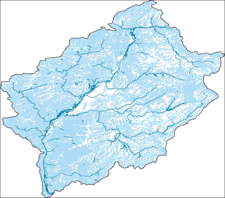
The High Resolution National Hydrography Dataset Plus (NHDPlus HR) is an integrated set of geospatial data layers, including the best available National Hydrography Dataset (NHD), the 10-meter 3D Elevation Program Digital Elevation Model (3DEP DEM), and the National Watershed Boundary Dataset (WBD). The NHDPlus HR combines the NHD, 3DEP DEMs, and WBD to create a stream network with linear referencing, feature naming, "value added attributes" (VAAs), elevation-derived catchments, and other features for hydrologic data analysis. The stream network with linear referencing is a system of data relationships applied to hydrographic systems so that one stream reach "flows" into another and "events" can be tied to and traced...
Problem - The interaction between ground water and surface water within the Meads Creek watershed is not well understood, and the need for understanding the interaction has increased in recent years because of widespread concerns related to water supply, ground- and surface-water contamination, loss of wetlands due to development; and other changes in the watershed. In addition, flooding in the southern part of the watershed (mostly in Steuben County), where most development in the watershed has taken place, has highlighted the need for information about the drainage characteristics in the basin including the role of ground-water and surface-water interactions. Objectives - The objectives are (1) characterize...
Categories: Data,
Project;
Types: Downloadable,
Map Service,
OGC WFS Layer,
OGC WMS Layer,
Shapefile;
Tags: Completed,
Cooperative Water Program,
GW or SW,
GW or SW,
GW or SW,

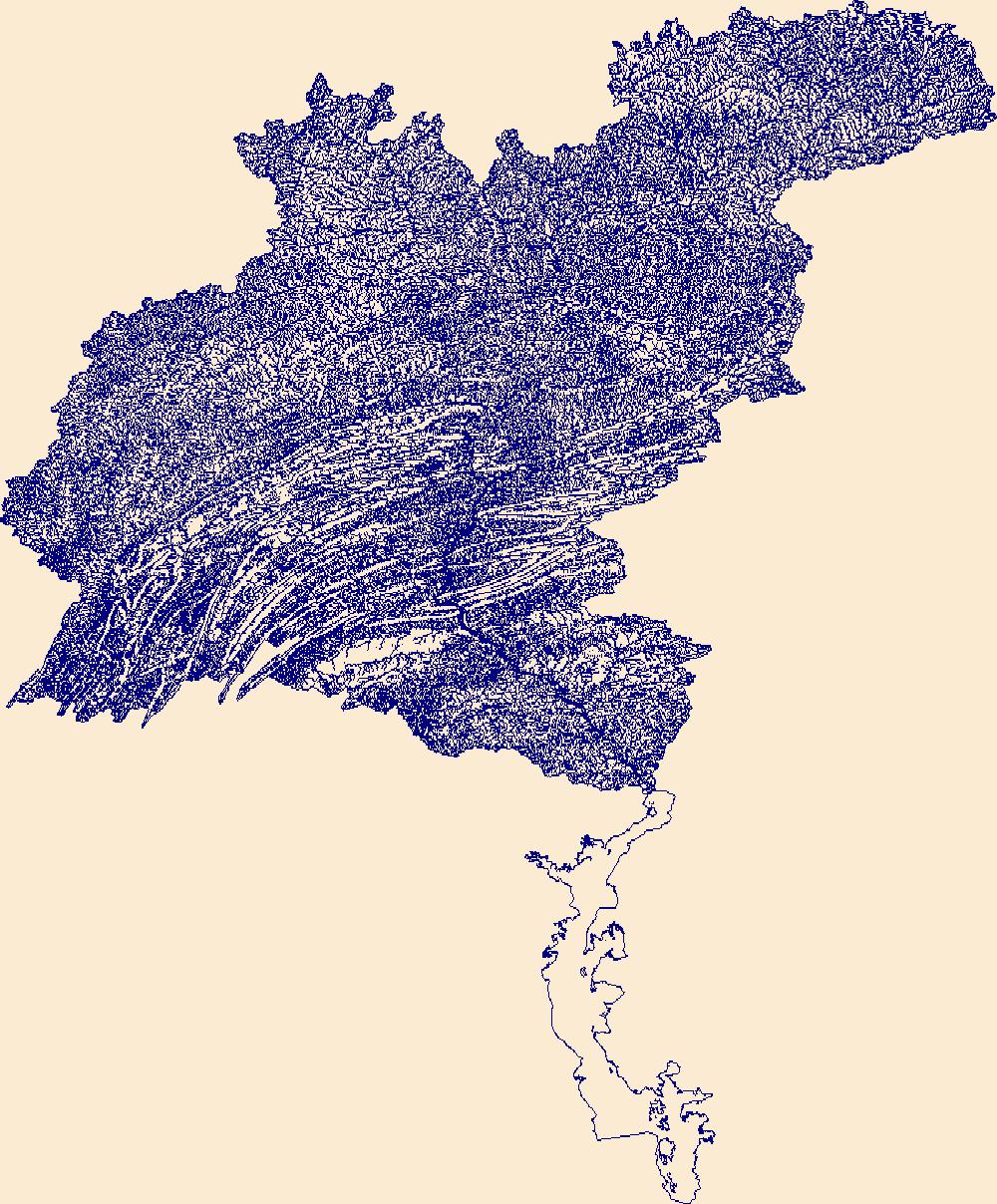
The High Resolution National Hydrography Dataset Plus (NHDPlus HR) is an integrated set of geospatial data layers, including the National Hydrography Dataset (NHD), National Watershed Boundary Dataset (WBD), and 3D Elevation Program Digital Elevation Model (3DEP DEM). The NHDPlus HR combines the NHD, 3DEP DEMs, and WBD to a data suite that includes the NHD stream network with linear referencing functionality, the WBD hydrologic units, elevation-derived catchment areas for each stream segment, "value added attributes" (VAAs), and other features that enhance hydrologic data analysis and routing.
|

|