Filters
Date Types (for Date Range)
Contacts
Tag Types
Tag Schemes
|

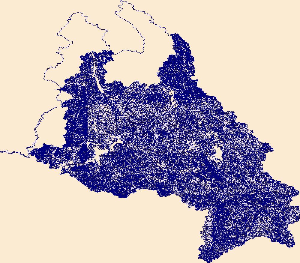
The High Resolution National Hydrography Dataset Plus (NHDPlus HR) is an integrated set of geospatial data layers, including the best available National Hydrography Dataset (NHD), the 10-meter 3D Elevation Program Digital Elevation Model (3DEP DEM), and the National Watershed Boundary Dataset (WBD). The NHDPlus HR combines the NHD, 3DEP DEMs, and WBD to create a stream network with linear referencing, feature naming, "value added attributes" (VAAs), elevation-derived catchments, and other features for hydrologic data analysis. The stream network with linear referencing is a system of data relationships applied to hydrographic systems so that one stream reach "flows" into another and "events" can be tied to and traced...
Tags: Adams County,
Adams County,
Asotin County,
Baker County,
Beaverhead County, All tags...
Benewah County,
Blaine County,
Boise County,
Camas County,
Clearwater County,
Columbia County,
Custer County,
Downloadable Data,
Elmore County,
FileGDB,
FileGDB 10.1,
Franklin County,
Garfield County,
Grant County,
HU-4 Subregion,
HU-4 Subregion,
HU4_1706,
Hydrography,
ID,
Idaho,
Idaho County,
Latah County,
Lemhi County,
Lewis County,
Lincoln County,
MT,
Mineral County,
Missoula County,
Montana,
NHDPlus HR Rasters,
NHDPlus High Resolution (NHDPlus HR),
National Hydrography Dataset (NHD),
National Hydrography Dataset Plus High Resolution (NHDPlus HR),
National Hydrography Dataset Plus High Resolution (NHDPlus HR) Current,
Nez Perce County,
OR,
Oregon,
Ravalli County,
Shoshone County,
Spokane County,
US,
Umatilla County,
Union County,
United States,
Valley County,
WA,
Walla Walla County,
Wallowa County,
Washington,
Whitman County,
base maps,
cartography,
catchments,
channels,
digital elevation models,
drainage basins,
earth sciences,
elevation,
environment,
geographic information systems,
geoscientific,
geospatial analysis,
hydrographic datasets,
hydrographic features,
hydrology,
imagery,
inland waters,
lakes,
land surface characteristics,
reservoirs,
river reaches,
rivers,
streamflow,
streamflow data,
streams,
topography,
water bodies,
water quality,
water resources,
watersheds, Fewer tags
The High Resolution National Hydrography Dataset Plus (NHDPlus HR) is an integrated set of geospatial data layers, including the best available National Hydrography Dataset (NHD), the 10-meter 3D Elevation Program Digital Elevation Model (3DEP DEM), and the National Watershed Boundary Dataset (WBD). The NHDPlus HR combines the NHD, 3DEP DEMs, and WBD to create a stream network with linear referencing, feature naming, "value added attributes" (VAAs), elevation-derived catchments, and other features for hydrologic data analysis. The stream network with linear referencing is a system of data relationships applied to hydrographic systems so that one stream reach "flows" into another and "events" can be tied to and traced...
Tags: Beaverhead County,
Benewah County,
Bonner County,
Boundary County,
Clearwater County, All tags...
Deer Lodge County,
Downloadable Data,
FileGDB,
FileGDB 10.1,
Flathead County,
Glacier County,
Granite County,
HU-4 Subregion,
HU-4 Subregion,
HU4_1701,
Hydrography,
ID,
Idaho,
Idaho County,
Jefferson County,
Kootenai County,
Lake County,
Latah County,
Lemhi County,
Lewis and Clark County,
Lincoln County,
Lincoln County,
MT,
Mineral County,
Missoula County,
Montana,
NHDPlus HR Rasters,
NHDPlus High Resolution (NHDPlus HR),
National Hydrography Dataset (NHD),
National Hydrography Dataset Plus High Resolution (NHDPlus HR),
National Hydrography Dataset Plus High Resolution (NHDPlus HR) Current,
Pend Oreille County,
Pondera County,
Powell County,
Ravalli County,
Sanders County,
Shoshone County,
Silver Bow County,
Spokane County,
Stevens County,
Teton County,
US,
United States,
WA,
Washington,
Whitman County,
base maps,
cartography,
catchments,
channels,
digital elevation models,
drainage basins,
earth sciences,
elevation,
environment,
geographic information systems,
geoscientific,
geospatial analysis,
hydrographic datasets,
hydrographic features,
hydrology,
imagery,
inland waters,
lakes,
land surface characteristics,
reservoirs,
river reaches,
rivers,
streamflow,
streamflow data,
streams,
topography,
water bodies,
water quality,
water resources,
watersheds, Fewer tags
|
|

