Filters: Tags: Sonora (X)
231 results (29ms)|
Filters
Date Range
Extensions Types Contacts
Categories Tag Types
|
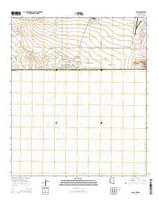
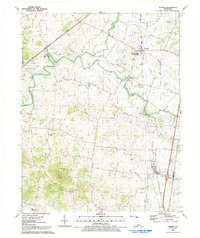
Layered GeoPDF 7.5 Minute Quadrangle Map. Layers of geospatial data include orthoimagery, roads, grids, geographic names, elevation contours, hydrography, and other selected map features.
Layered geospatial PDF Map. Layers of geospatial data include orthoimagery, roads, grids, geographic names, elevation contours, hydrography, and other selected map features.
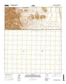
Layered GeoPDF 7.5 Minute Quadrangle Map. Layers of geospatial data include orthoimagery, roads, grids, geographic names, elevation contours, hydrography, and other selected map features.
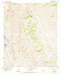
USGS Historical Quadrangle in GeoPDF.
USGS Historical Quadrangle in GeoPDF.
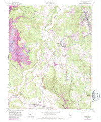
USGS Historical Quadrangle in GeoPDF.
Explore climate change impacts on vegetation across the Desert and Southern Rockies LCCs using historical monitoring data collected from 23 sites across the Sonoran, Chihuahuan, Mojave and Colorado Plateau deserts for 30-50 years. This data will then be combined with ecosystem water balance model simulations to establish features of water availability critical for plant species response. Results will allow managers to identify species and communities at risk under future climate scenarios based on predicted changes in plant water availability. Due to the high variability in soils, incorporating a detailed understanding of soil water availability beyond bioclimatic envelope approaches in the desert Southwest is essential...
Categories: Data,
Project;
Types: Map Service,
OGC WFS Layer,
OGC WMS Layer,
OGC WMS Service;
Tags: 2012,
AZ-02,
AZ-03,
AZ-04,
Academics & scientific researchers,
This project will be focused on hosting 2-3 workshops in 2013 to train people to conduct the Springs Stewardship Institute’s spring assessment protocol and promote it as a standardized method. This will facilitate standardized data collection across the landscape that can contribute to a broad-scale inventory and assessment of springs, seeps, and aquatic resources throughout the Desert LCC.
Categories: Data,
Project;
Types: Downloadable,
Map Service,
OGC WFS Layer,
OGC WMS Layer,
OGC WMS Service,
Shapefile;
Tags: 2012,
AZ-01,
AZ-02,
AZ-03,
AZ-04,
The Bird Conservancy of the Rockies will use, combine and optimize an array of remote sensing techniques to identify the most efficient process that characterizes grasslands and level of shrub component in those grasslands. The project will classify a pilot area, the Janos Grassland Priority Conservation Area, which contains the majority of the Janos Biosphere Reserve, using a variety of remote sensing approaches. In the process they will identify the best techniques for decomposing grass-shrub intermix at low densities and identify the best approaches for large scale application of remote sensing to classify the desert grasslands and shrublands.
Categories: Data,
Project;
Types: Downloadable,
Map Service,
OGC WFS Layer,
OGC WMS Layer,
OGC WMS Service,
Shapefile;
Tags: 2013,
Chihuahua,
Conservation NGOs,
Data Acquisition and Development,
Datasets/Database,
In the desert southwest biodiversity is facing a changing landscape due to human population growth, expansion of energy development, and from the persistent effects of climate change among other threats. The 2012 Desert LCC science needs document recognized the importance of modeling and predicting habitat area, fragmentation and corridor network connectivity for a broad range of wildlife taxa. Tools and methods from conservation planning are available to address some of these issues, but tools to evaluate the expected benefits of corridors in mitigating climate change effects are only in their infancy. This USGS project will use quantitative spatial analysis and principles from landscape ecology to determine where...
Categories: Data,
Project;
Types: Downloadable,
Map Service,
OGC WFS Layer,
OGC WMS Layer,
OGC WMS Service,
Shapefile;
Tags: 2012,
AZ-01,
AZ-02,
AZ-03,
AZ-04,
Successful implementation of environmental flow projects depends on land and water managers having clear objectives and access to reliable data. This guidebook provides information on a variety of methods that can be utilized under different fiscal or temporal constraints to determine and implement appropriate environmental flow targets. Based on evidence from cases focused in the Southwestern United States and Northern Mexico, steps are suggested to help ensure maintenance of flows under uncertain future natural and socioeconomic conditions. The importance of education and engagement to increase acceptance of environmental flows based projects and gain key player and community buy in is described. Limitations on...
Categories: Data,
Publication;
Types: Citation,
Map Service,
OGC WFS Layer,
OGC WMS Layer,
OGC WMS Service;
Tags: Aquascalientes,
Arizona,
Baja California,
California,
Chihuahua,
The Surface Water Drainages, Orders 4 - 7 coverage was derived from a 30-meter resolution elevation grid obtained from the United States Geological Survey (USGS) National Map Viewer website (http://viewer.nationalmap.gov/viewer/) for the extent of interest. Sinks in the elevation data were filled, and the modified elevation grid was then used to create a flow direction and flow accumulation grid. The Strahler drainage network is extracted from the resulting two grids. Extraction was simplified through the use of an ESRI Avenue script known as "Basin1" available for download from the ESRI ArcSripts forum http://arcscripts.esri.com/details.asp?dbid=10668) . The network was generated by the Arizona Department of Environmental...
Categories: Data;
Types: Citation,
Downloadable,
Map Service,
OGC WFS Layer,
OGC WMS Layer,
Shapefile;
Tags: Arizona,
Hydrography,
Santa Cruz Basin,
Sonora
This dataset contains data used in the associated publication in the International Journal of Remote Sensing. The geodatabase contains four feature classes: AOI, MajorZone, MinorZone, and Green2007. Publication can be found at https://doi.org/10.1080/01431161.2018.1437297. Publication abstract: Watershed restoration efforts seek to rejuvenate vegetation, biological diversity, and land productivity at Cienega San Bernardino, an important wetland in southeastern Arizona and northern Sonora, Mexico. Rock detention and earthen berm structures were built on the Cienega San Bernardino over the course of four decades, beginning in 1984 and continuing to the present. Previous research findings show that restoration supports...
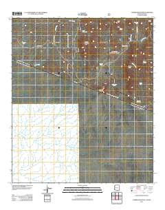
Layered GeoPDF 7.5 Minute Quadrangle Map. Layers of geospatial data include orthoimagery, roads, grids, geographic names, elevation contours, hydrography, and other selected map features.
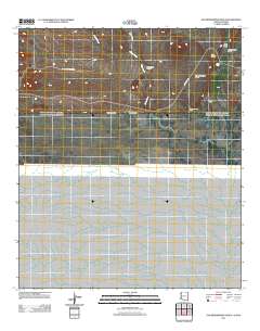
Layered GeoPDF 7.5 Minute Quadrangle Map. Layers of geospatial data include orthoimagery, roads, grids, geographic names, elevation contours, hydrography, and other selected map features.
Layered GeoPDF 7.5 Minute Quadrangle Map. Layers of geospatial data include orthoimagery, roads, grids, geographic names, elevation contours, hydrography, and other selected map features.
The Minute 319/323 ScienceBase community exists to share data regarding the 2014 pulse flow experiment in the Colorado River delta. Some content, such as provisional data, is not publicly available. Please contact Jeff Kennedy (jkennedy@usgs.gov) for access.
Categories: Data;
Types: Map Service,
OGC WFS Layer,
OGC WMS Layer,
OGC WMS Service;
Tags: Arizona,
Baja California,
Colorado River,
Ecology,
Hydrology,
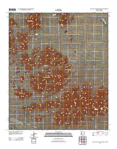
Layered GeoPDF 7.5 Minute Quadrangle Map. Layers of geospatial data include orthoimagery, roads, grids, geographic names, elevation contours, hydrography, and other selected map features.
Layered GeoPDF 7.5 Minute Quadrangle Map. Layers of geospatial data include orthoimagery, roads, grids, geographic names, elevation contours, hydrography, and other selected map features.
|

|
