Filters: Tags: South Dakota (X) > Date Range: {"choice":"month"} (X)
114 results (116ms)|
Filters
Date Types (for Date Range)
Types Contacts
Categories Tag Types Tag Schemes |

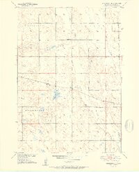
USGS Historical Quadrangle in GeoPDF.
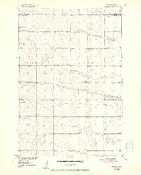
USGS Historical Quadrangle in GeoPDF.
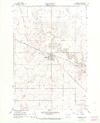
USGS Historical Quadrangle in GeoPDF.
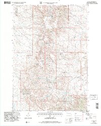
USGS Historical Quadrangle in GeoPDF.

USGS Historical Quadrangle in GeoPDF.
USGS Historical Quadrangle in GeoPDF.
These datasets provide early estimates of 2024 fractional cover for exotic annual grass (EAG) species and one native perennial grass species on a weekly basis from April to late June. Typically, the EAG estimates are publicly released within 7-13 days of the latest satellite observation used for that version. Each weekly release contains five fractional cover maps along with their corresponding confidence maps for: 1) a group of 16 species of EAGs, 2) cheatgrass (Bromus tectorum); 3) Field Brome (Bromus arvensis); 4) medusahead (Taeniatherum caput-medusae); and 5) Sandberg bluegrass (Poa secunda). These datasets were generated leveraging field observations from Bureau of Land Management (BLM) Assessment, Inventory,...
USGS Historical Quadrangle in GeoPDF.
USGS Historical Quadrangle in GeoPDF.
USGS Historical Quadrangle in GeoPDF.
USGS Historical Quadrangle in GeoPDF.
USGS Historical Quadrangle in GeoPDF.
USGS Historical Quadrangle in GeoPDF.
USGS Historical Quadrangle in GeoPDF.
USGS Historical Quadrangle in GeoPDF.
USGS Historical Quadrangle in GeoPDF.
USGS Historical Quadrangle in GeoPDF.
USGS Historical Quadrangle in GeoPDF.
Peak-flow frequency analysis is crucial in various water-resources management applications, including floodplain management and critical structure design. Federal guidelines for peak-flow frequency analyses, provided in Bulletin 17C, assume that the statistical properties of the hydrologic processes driving variability in peak flows do not change over time and so the frequency distribution of annual peak flows is stationary. Better understanding of long-term climatic persistence and further consideration of potential climate and land-use changes have caused the assumption of stationarity to be reexamined. This data release contains input data and results of a study investigating hydroclimatic trends in peak streamflow...
Fisheries monitoring data detailing the lengths and or ages of fish caught during state agency fisheries surveys. These data were collected and shared with our team from: Iowa Department of Natural Resources, Illinois Department of Natural Resources, Indiana Department of Natural Resources, Michigan Department of Natural Resources, Minnesota Department of Natural Resources, South Dakota Game, Fish and Parks, and Wisconsin Department of Natural Resources. Data include length and age data for seven sport fish species: black crappie (Pomoxis nigromaculatus), bluegill (Lepomis macrochirus), largemouth bass (Micropterus salmoides), northern pike (Esox lucius), smallmouth bass (Micropterus dolomieu), walleye (Sander vitreus),...
|

|
