Filters: Tags: South Dakota (X) > Date Range: {"choice":"year"} (X)
699 results (34ms)|
Filters
Date Types (for Date Range)
Types
Contacts
Categories
Tag Types
|

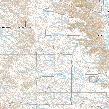
Layers of geospatial data include contours, boundaries, land cover, hydrography, roads, transportation, geographic names, structures, and other selected map features.

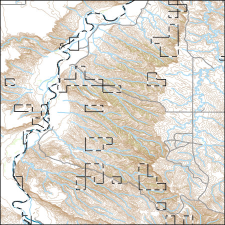
Layers of geospatial data include contours, boundaries, land cover, hydrography, roads, transportation, geographic names, structures, and other selected map features.
Layers of geospatial data include contours, boundaries, land cover, hydrography, roads, transportation, geographic names, structures, and other selected map features.
Layers of geospatial data include contours, boundaries, land cover, hydrography, roads, transportation, geographic names, structures, and other selected map features.

USGS Historical Quadrangle in GeoPDF.
The High Plains aquifer extends from approximately 32 to 44 degrees north latitude and 96 degrees 30 minutes to 106 degrees west longitude. The aquifer underlies about 175,000 square miles in parts of Colorado, Kansas, Nebraska, New Mexico, Oklahoma, South Dakota, Texas, and Wyoming. This digital dataset consists of a raster of water-level changes for the High Plains aquifer, predevelopment (about 1950) to 2019. It was created using water-level measurements from 2,741 wells measured in both the predevelopment period (about 1950) and in 2019, the latest available static water level measured in 2015 to 2018 from 71 wells in New Mexico and using other published information on water-level change in areas with few water-level...
Effective monitoring and prediction of flood and drought events requires an improved understanding of how and why surface-water expansion and contraction in response to climate varies across space. This paper sought to (1) quantify how interannual patterns of surface-water expansion and contraction vary spatially across the Prairie Pothole Region (PPR) and adjacent Northern Prairie (NP) in the United States, and (2) explore how landscape characteristics influence the relationship between climate inputs and surface-water dynamics. Due to differences in glacial history, the PPR and NP show distinct patterns in regards to drainage development and wetland density, together providing a diversity of conditions to examine...
Across the country, public land managers make hundreds of decisions each year that influence landscapes and ecosystems within the lands they manage. Many of these decisions involve vegetation manipulations known as land treatments. Land treatments include activities such as removal or alteration of plant biomass, seeding burned areas, and herbicide applications. Data on these land treatments historically have been stored at local offices and gathering information across large spatial areas was difficult. These valuable data needed to be centralized and stored for Federal agencies involved in land treatments because these data are useful to land managers for policy and management and to scientists for developing...

The Watershed Boundary Dataset (WBD) is a comprehensive aggregated collection of hydrologic unit data consistent with the national criteria for delineation and resolution. It defines the areal extent of surface water drainage to a point except in coastal or lake front areas where there could be multiple outlets as stated by the "Federal Standards and Procedures for the National Watershed Boundary Dataset (WBD)" "Standard" (https://pubs.usgs.gov/tm/11/a3/). Watershed boundaries are determined solely upon science-based hydrologic principles, not favoring any administrative boundaries or special projects, nor particular program or agency. This dataset represents the hydrologic unit boundaries to the 12-digit (6th level)...
This data release contains data associated with the journal article "Modeling the maturation history of the stacked petroleum systems of the Williston Basin, USA". Collectively, the data release includes 13 child items and metadata files that provide detailed descriptions of the attributes, processing steps, and original data sources. There is also a data table, "Williston_Basin_Data_Release_Overview.csv" that describes how all the child items are linked with one another.
Categories: Data;
Tags: Bakken,
Cedar Creek Anticline,
Energy Resources,
Information Sciences,
Mineral Resources,
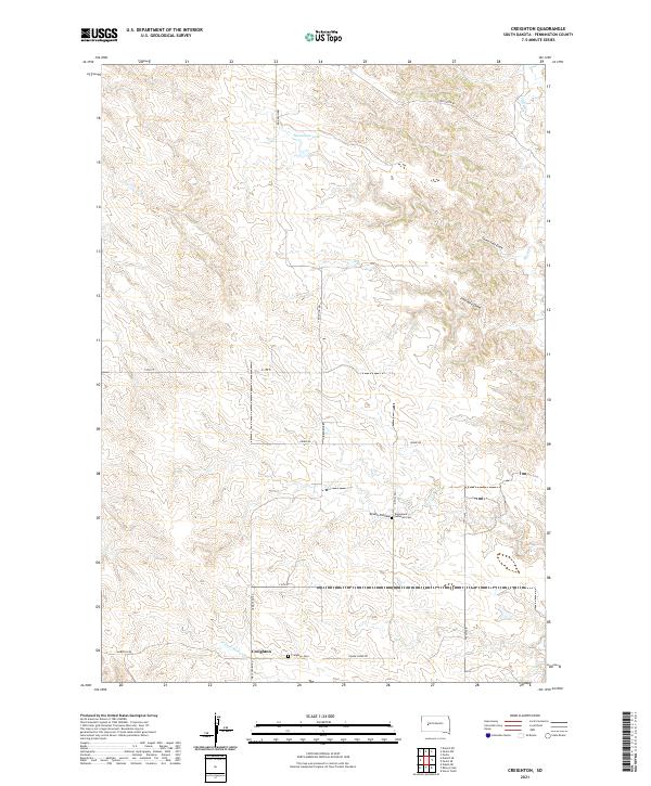
Layered geospatial PDF 7.5 Minute Quadrangle Map. Layers of geospatial data include orthoimagery, roads, grids, geographic names, elevation contours, hydrography, and other selected map features. This map is derived from GIS (geospatial information system) data. It represents a repackaging of GIS data in traditional map form, not creation of new information. The geospatial data in this map are from selected National Map data holdings and other government sources.

These data were released prior to the October 1, 2016 effective date for the USGS’s policy dictating the review, approval, and release of scientific data as referenced in USGS Survey Manual Chapter 502.8 Fundamental Science Practices: Review and Approval of Scientific Data for Release. This data set provides information for evaluation of streamflow loss as mechanism of transport of potential contaminants when assessing sensitivity of ground-water to contamination in Lawrence County, SD. This data set is a result of a larger work (WRIR 00-4103 cited above), which includes a paper plate titled: "Map showing drainage areas upstream from potential streamflow-loss zones and locations of selected streamflow-gaging stations...
These data were released prior to the October 1, 2016 effective date for the USGS’s policy dictating the review, approval, and release of scientific data as referenced in USGS Survey Manual Chapter 502.8 Fundamental Science Practices: Review and Approval of Scientific Data for Release. This coverage contains information about the probability of obtaining a water supply within the Standing Rock Indian Reservation, Sioux County, North Dakota, and Corson County, South Dakota. The digital data were produced by the U.S. Geological Survey (USGS) in cooperation with the U.S. Environmental Protection Agency. The possibility of obtaining adequate supplies of good quality water from surficial deposits generally is limited...

These data were released prior to the October 1, 2016 effective date for the USGS’s policy dictating the review, approval, and release of scientific data as referenced in USGS Survey Manual Chapter 502.8 Fundamental Science Practices: Review and Approval of Scientific Data for Release. This data set describes areas where the Deadwood Formation is directly overlain by surficial deposits, as well as those areas where the Deadwood Formation is absent in the Black Hills area, South Dakota.

These data were released prior to the October 1, 2016 effective date for the USGS’s policy dictating the review, approval, and release of scientific data as referenced in USGS Survey Manual Chapter 502.8 Fundamental Science Practices: Review and Approval of Scientific Data for Release. This data set represents potentiometric surface contours for the Minnekahta aquifer, Black Hills, South Dakota.

These data were released prior to the October 1, 2016 effective date for the USGS’s policy dictating the review, approval, and release of scientific data as referenced in USGS Survey Manual Chapter 502.8 Fundamental Science Practices: Review and Approval of Scientific Data for Release. Real-time kinematic global navigation satellite systems equipment was used to map features of wetlands at six locations of interest to the Lower Brule Sioux Tribe. Items mapped include general cross-sections (primarily to show elevation differences); man-made features such as access roads, outlet control structures, and water-supply pipes; vegetation features such as edge of cattails or food plots, trees or tree clusters; and hydrologic...

These data were released prior to the October 1, 2016 effective date for the USGS’s policy dictating the review, approval, and release of scientific data as referenced in USGS Survey Manual Chapter 502.8 Fundamental Science Practices: Review and Approval of Scientific Data for Release. This data set represents geologic structure contours for the top of the Minnekahta Limestone, Black Hills, South Dakota.

These data were released prior to the October 1, 2016 effective date for the USGS’s policy dictating the review, approval, and release of scientific data as referenced in USGS Survey Manual Chapter 502.8 Fundamental Science Practices: Review and Approval of Scientific Data for Release. This data set represents geologic structure contours for the top of the Inyan Kara Group, Black Hills, South Dakota.

These data were released prior to the October 1, 2016 effective date for the USGS’s policy dictating the review, approval, and release of scientific data as referenced in USGS Survey Manual Chapter 502.8 Fundamental Science Practices: Review and Approval of Scientific Data for Release. Real-time kinematic global navigation satellite systems equipment was used to map features of wetlands at six locations of interest to the Lower Brule Sioux Tribe. Items mapped include general cross-sections (primarily to show elevation differences); man-made features such as access roads, outlet control structures, and water-supply pipes; vegetation features such as edge of cattails or food plots, trees or tree clusters; and hydrologic...

These data were released prior to the October 1, 2016 effective date for the USGS’s policy dictating the review, approval, and release of scientific data as referenced in USGS Survey Manual Chapter 502.8 Fundamental Science Practices: Review and Approval of Scientific Data for Release. This raster data set represents specific-yield ranges in the High Plains aquifer of the United States. The High Plains aquifer underlies 112.6 million acres (176,000 square miles) in parts of eight States: Colorado, Kansas, Nebraska, New Mexico, Oklahoma, South Dakota, Texas, and Wyoming. Specific yield ranges from near zero to 30 percent (Gutentag and others, 1984). This data set was generated in ESRI ArcInfo Workstation Version...
|

|
