Filters
Date Types (for Date Range)
Extensions
Types
Contacts
Categories
Tag Types
Tag Schemes
|

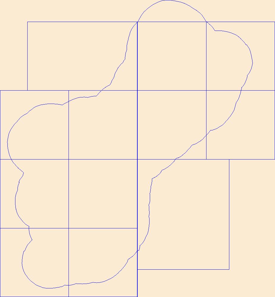
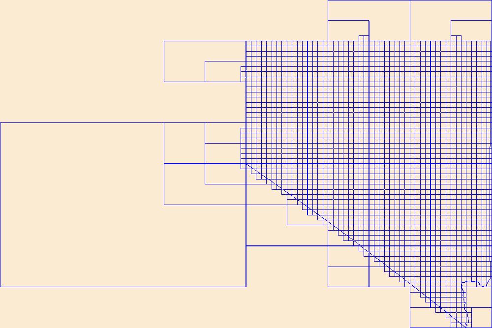
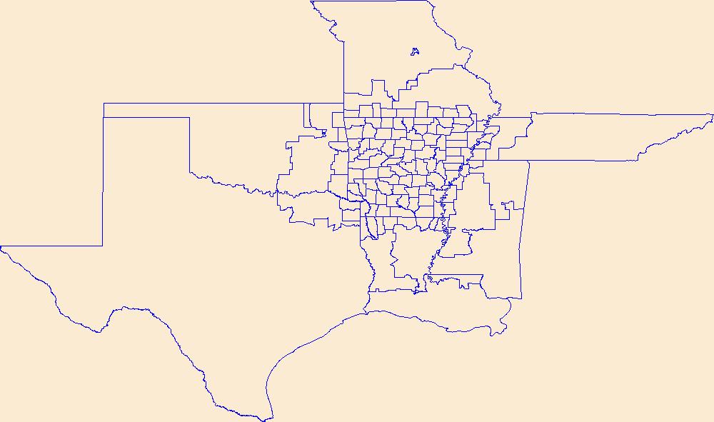
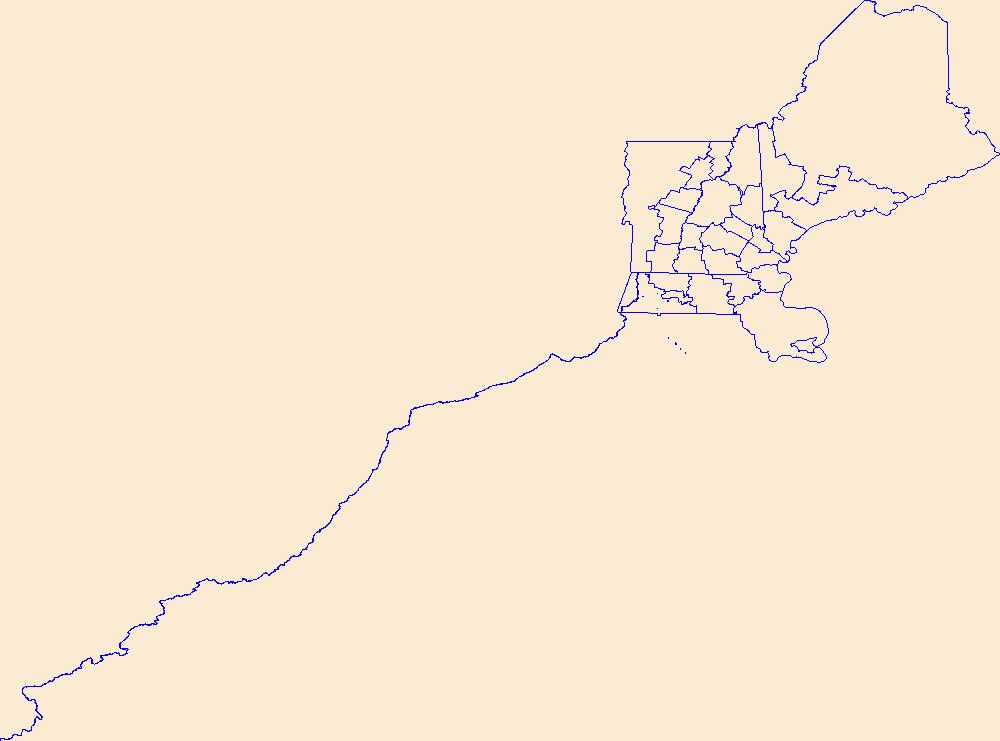
This data represents the map extent for current and historical USGS topographic maps for the United States and Territories, including 1 X 2 Degree, 1 X 1 Degree, 30 X 60 Minute, 15 X 15 Minute, 7.5 X 7.5 Minute, and 3.75 X 3.75 Minute. The grid was generated using ESRI ArcInfo GIS software.
Tags: Adjuntas,
Aguada,
Aguadilla,
Aguas Buenas,
Aibonito, All tags...
Arecibo,
Arroyo,
Añasco,
Barceloneta,
Barranquitas,
Bayamón,
Boundaries,
Cabo Rojo,
Caguas,
Camuy,
Canóvanas,
Carolina,
Cataño,
Cayey,
Ceiba,
Ciales,
Cidra,
Coamo,
Comerío,
Corozal,
Culebra,
Dorado,
Downloadable Data,
Esri File GeoDatabase 10,
Fajardo,
FileGDB,
Florida,
Guayama,
Guayanilla,
Guaynabo,
Gurabo,
Guánica,
Hatillo,
Hormigueros,
Humacao,
Isabela,
Jayuya,
Juana Díaz,
Juncos,
Lajas,
Lares,
Las Marías,
Las Piedras,
Loíza,
Luquillo,
Manatí,
Map Indices,
Map Indices,
Map Indices,
Maricao,
Maunabo,
Mayagüez,
Moca,
Morovis,
Naguabo,
Naranjito,
Orocovis,
PR,
Patillas,
Peñuelas,
Ponce,
Puerto Rico,
Quebradillas,
Rincón,
Río Grande,
Sabana Grande,
Salinas,
San Germán,
San Juan,
San Lorenzo,
San Sebastián,
Santa Isabel,
State,
State,
Toa Alta,
Toa Baja,
Trujillo Alto,
US,
United States,
United States of America,
Utuado,
Vega Alta,
Vega Baja,
Vieques,
Villalba,
Yabucoa,
Yauco,
cells,
map indices,
polygon grid, Fewer tags
This data represents the map extent for current and historical USGS topographic maps for the United States and Territories, including 1 X 2 Degree, 1 X 1 Degree, 30 X 60 Minute, 15 X 15 Minute, 7.5 X 7.5 Minute, and 3.75 X 3.75 Minute. The grid was generated using ESRI ArcInfo GIS software.
Tags: Boundaries,
Downloadable Data,
Esri File GeoDatabase 10,
FileGDB,
GU, All tags...
Guam,
Guam,
Map Indices,
Map Indices,
Map Indices,
State,
State,
US,
United States,
United States of America,
cells,
map indices,
polygon grid, Fewer tags
This data represents the map extent for current and historical USGS topographic maps for the United States and Territories, including 1 X 2 Degree, 1 X 1 Degree, 30 X 60 Minute, 15 X 15 Minute, 7.5 X 7.5 Minute, and 3.75 X 3.75 Minute. The grid was generated using ESRI ArcInfo GIS software.
Tags: Boundaries,
Carson City,
Churchill,
Clark,
Douglas, All tags...
Downloadable Data,
Elko,
Esmeralda,
Esri File GeoDatabase 10,
Eureka,
FileGDB,
Humboldt,
Lander,
Lincoln,
Lyon,
Map Indices,
Map Indices,
Map Indices,
Mineral,
NV,
Nevada,
Nye,
Pershing,
State,
State,
Storey,
US,
United States,
United States of America,
Washoe,
White Pine,
cells,
map indices,
polygon grid, Fewer tags

Geospatial data includes structures and other selected map features.
Tags: AK,
Alaska,
Aleutians East,
Aleutians West,
Anchorage, All tags...
Bethel,
Bristol Bay,
Campground,
Chugach,
College / University,
Copper River,
Courthouse,
Denali,
Dillingham,
Downloadable Data,
Esri File GeoDatabase 10,
Fairbanks North Star,
FileGDB,
Fire Station/ EMS Station,
Haines,
Hoonah-Angoon,
Hospital/Medical Center,
Information Center,
Juneau,
Kenai Peninsula,
Ketchikan Gateway,
Kodiak Island,
Kusilvak,
Lake and Peninsula,
Law Enforcement,
Matanuska-Susitna,
National Structures Dataset (NSD),
National Structures Dataset (NSD),
Nome,
North Slope,
Northwest Arctic,
Petersburg,
Post Office,
Prince of Wales-Hyder,
Prison/ Correctional Facility,
School,
School:Elementary,
School:High School,
School:Middle School,
Sitka,
Skagway,
Southeast Fairbanks,
State,
State,
State Capitol,
Structures,
Technical School,
Town Hall,
Trade School,
Trailhead,
US,
United States,
Visitor Center,
Wrangell,
Yakutat,
Yukon-Koyukuk,
structure, Fewer tags
Geospatial data is comprised of government boundaries.
Tags: Adams,
Alexander,
Bond,
Boone,
Boundaries, All tags...
Brown,
Bureau,
Calhoun,
Carroll,
Cass,
Champaign,
Christian,
Clark,
Clay,
Clinton,
Coles,
Cook,
County or Equivalent,
Crawford,
Cumberland,
De Witt,
DeKalb,
Douglas,
Downloadable Data,
DuPage,
Edgar,
Edwards,
Effingham,
Esri Shapefile nan,
Fayette,
Ford,
Franklin,
Fulton,
Gallatin,
Greene,
Grundy,
Hamilton,
Hancock,
Hardin,
Henderson,
Henry,
IL,
Illinois,
Incorporated Place,
Iroquois,
Jackson,
Jasper,
Jefferson,
Jersey,
Jo Daviess,
Johnson,
Jurisdictional,
Kane,
Kankakee,
Kendall,
Knox,
LaSalle,
Lake,
Lawrence,
Lee,
Livingston,
Logan,
Macon,
Macoupin,
Madison,
Marion,
Marshall,
Mason,
Massac,
McDonough,
McHenry,
McLean,
Menard,
Mercer,
Minor Civil Division,
Monroe,
Montgomery,
Morgan,
Moultrie,
National Boundary Dataset (NBD),
National Boundary Dataset (NBD),
Native American Area,
Ogle,
PLSS First Division,
PLSS Special Survey,
PLSS Township,
Peoria,
Perry,
Piatt,
Pike,
Pope,
Public Land Survey System,
Pulaski,
Putnam,
Randolph,
Reserve,
Richland,
Rock Island,
Saline,
Sangamon,
Schuyler,
Scott,
Shapefile,
Shelby,
St. Clair,
Stark,
State,
State,
State or Territory,
Stephenson,
Tazewell,
U.S. National Grid,
US,
Unincorporated Place,
Union,
United States,
Vermilion,
Wabash,
Warren,
Washington,
Wayne,
White,
Whiteside,
Will,
Williamson,
Winnebago,
Woodford,
boundaries,
boundary,
cadastral surveys,
geographic names,
land ownership,
land use maps,
legal land descriptions,
political and administrative boundaries,
zoning maps, Fewer tags
Geospatial data includes structures and other selected map features.
Tags: Campground,
College / University,
Courthouse,
DE,
Delaware, All tags...
Downloadable Data,
Esri File GeoDatabase 10,
FileGDB,
Fire Station/ EMS Station,
Hospital/Medical Center,
Information Center,
Kent,
Law Enforcement,
National Structures Dataset (NSD),
National Structures Dataset (NSD),
New Castle,
Post Office,
Prison/ Correctional Facility,
School,
School:Elementary,
School:High School,
School:Middle School,
State,
State,
State Capitol,
Structures,
Sussex,
Technical School,
Town Hall,
Trade School,
Trailhead,
US,
United States,
Visitor Center,
structure, Fewer tags
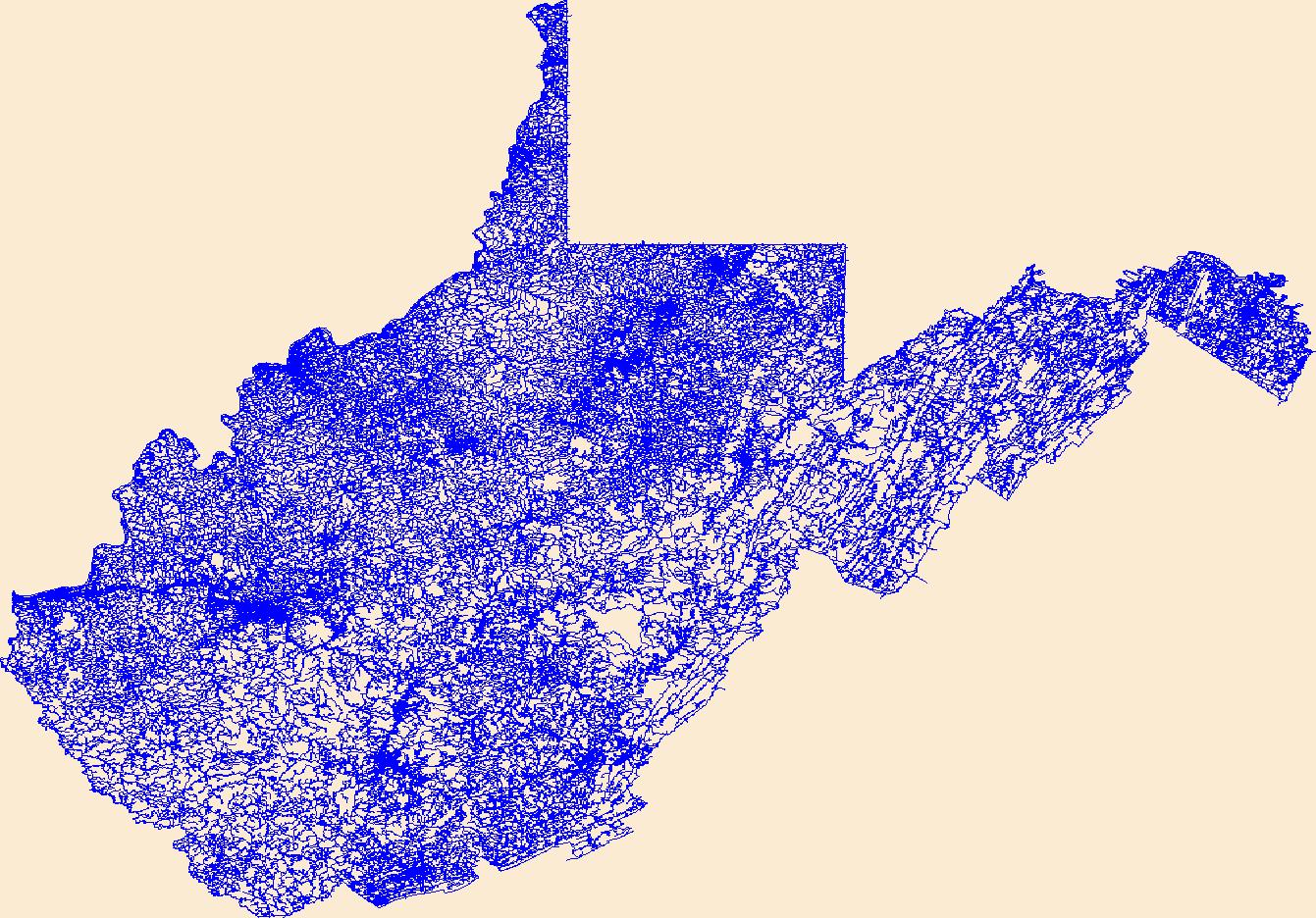
Layers of geospatial data include roads, airports, trails, and railroads.
Tags: Airport Complex,
Airport Point,
Airport Runway,
Airports,
Airstrips, All tags...
Barbour,
Berkeley,
Boone,
Braxton,
Brooke,
Cabell,
Calhoun,
Clay,
Doddridge,
Downloadable Data,
Esri File GeoDatabase 10,
Fayette,
FileGDB,
Geographic names,
Gilmer,
Grant,
Greenbrier,
Hampshire,
Hancock,
Hardy,
Harrison,
Jackson,
Jefferson,
Kanawha,
Lewis,
Lincoln,
Logan,
Marion,
Marshall,
Mason,
McDowell,
Mercer,
Mineral,
Mingo,
Monongalia,
Monroe,
Morgan,
National Transportation Dataset (NTD),
National Transportation Dataset (NTD),
Nicholas,
Ohio,
Pendleton,
Pleasants,
Pocahontas,
Preston,
Putnam,
Railways,
Raleigh,
Randolph,
Ritchie,
Roads,
Roane,
State,
State,
Summers,
Taylor,
Trail,
Trails,
Transportation,
Transportation,
Tucker,
Tyler,
US,
United States,
Upshur,
WV,
Waterway,
Wayne,
Webster,
West Virginia,
Wetzel,
Wirt,
Wood,
Wyoming,
transportation, Fewer tags

Geospatial data includes structures and other selected map features.
Tags: AS,
American Samoa,
Campground,
College / University,
Courthouse, All tags...
Downloadable Data,
Eastern,
Esri File GeoDatabase 10,
FileGDB,
Fire Station/ EMS Station,
Hospital/Medical Center,
Information Center,
Law Enforcement,
Manu'a,
National Structures Dataset (NSD),
National Structures Dataset (NSD),
Post Office,
Prison/ Correctional Facility,
Rose Island,
School,
School:Elementary,
School:High School,
School:Middle School,
State,
State,
State Capitol,
Structures,
Swains Island,
Technical School,
Town Hall,
Trade School,
Trailhead,
US,
United States,
Visitor Center,
Western,
structure, Fewer tags
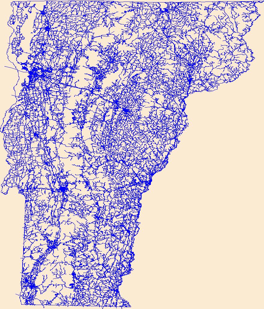
Layers of geospatial data include roads, airports, trails, and railroads.
Tags: Addison,
Airport Complex,
Airport Point,
Airport Runway,
Airports, All tags...
Airstrips,
Bennington,
Caledonia,
Chittenden,
Downloadable Data,
Esri File GeoDatabase 10,
Essex,
FileGDB,
Franklin,
Geographic names,
Grand Isle,
Lamoille,
National Transportation Dataset (NTD),
National Transportation Dataset (NTD),
Orange,
Orleans,
Railways,
Roads,
Rutland,
State,
State,
Trail,
Trails,
Transportation,
Transportation,
US,
United States,
VT,
Vermont,
Washington,
Waterway,
Windham,
Windsor,
transportation, Fewer tags
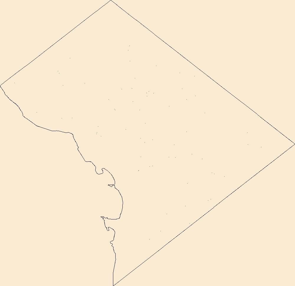
Geospatial data includes structures and other selected map features.
Tags: Campground,
College / University,
Courthouse,
DC,
District of Columbia, All tags...
District of Columbia,
Downloadable Data,
Esri File GeoDatabase 10,
FileGDB,
Fire Station/ EMS Station,
Hospital/Medical Center,
Information Center,
Law Enforcement,
National Structures Dataset (NSD),
National Structures Dataset (NSD),
Post Office,
Prison/ Correctional Facility,
School,
School:Elementary,
School:High School,
School:Middle School,
State,
State,
State Capitol,
Structures,
Technical School,
Town Hall,
Trade School,
Trailhead,
US,
United States,
Visitor Center,
structure, Fewer tags
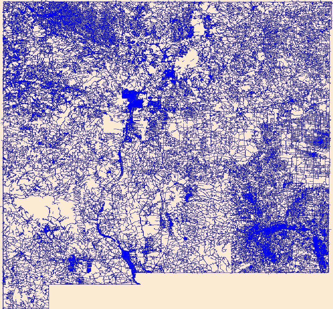
Layers of geospatial data include roads, airports, trails, and railroads.
Tags: Airport Complex,
Airport Point,
Airport Runway,
Airports,
Airstrips, All tags...
Bernalillo,
Catron,
Chaves,
Cibola,
Colfax,
Curry,
De Baca,
Downloadable Data,
Doña Ana,
Eddy,
Esri File GeoDatabase 10,
FileGDB,
Geographic names,
Grant,
Guadalupe,
Harding,
Hidalgo,
Lea,
Lincoln,
Los Alamos,
Luna,
McKinley,
Mora,
NM,
National Transportation Dataset (NTD),
National Transportation Dataset (NTD),
New Mexico,
Otero,
Quay,
Railways,
Rio Arriba,
Roads,
Roosevelt,
San Juan,
San Miguel,
Sandoval,
Santa Fe,
Sierra,
Socorro,
State,
State,
Taos,
Torrance,
Trail,
Trails,
Transportation,
Transportation,
US,
Union,
United States,
Valencia,
Waterway,
transportation, Fewer tags
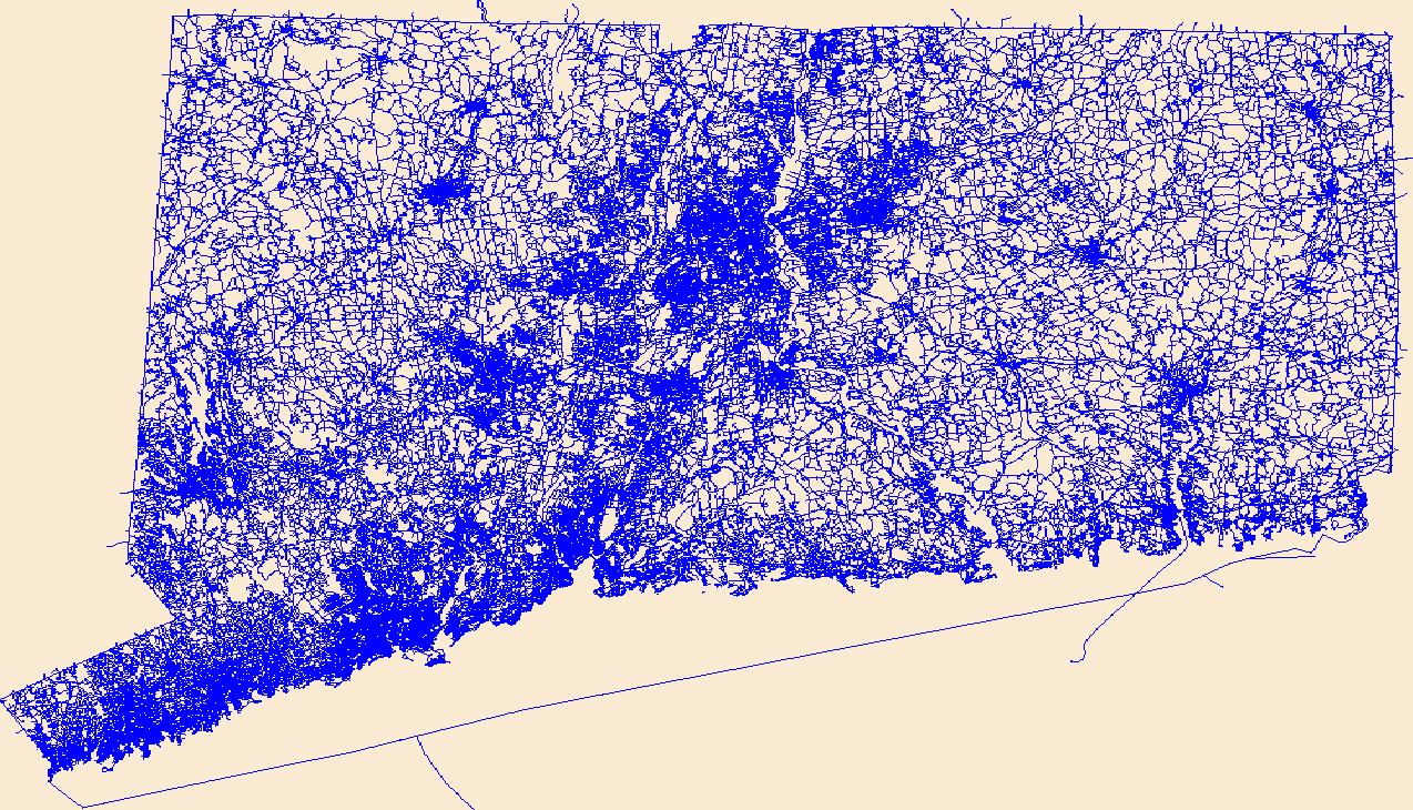
Layers of geospatial data include roads, airports, trails, and railroads.
Tags: Airport Complex,
Airport Point,
Airport Runway,
Airports,
Airstrips, All tags...
CT,
Capitol,
Connecticut,
Downloadable Data,
Esri Shapefile nan,
Geographic names,
Greater Bridgeport,
Lower Connecticut River Valley,
National Transportation Dataset (NTD),
National Transportation Dataset (NTD),
Naugatuck Valley,
Northeastern Connecticut,
Northwest Hills,
Railways,
Roads,
Shapefile,
South Central Connecticut,
Southeastern Connecticut,
State,
State,
Trail,
Trails,
Transportation,
Transportation,
US,
United States,
Waterway,
Western Connecticut,
transportation, Fewer tags
Geospatial data includes structures and other selected map features.
Tags: Beaver,
Box Elder,
Cache,
Campground,
Carbon, All tags...
College / University,
Courthouse,
Daggett,
Davis,
Downloadable Data,
Duchesne,
Emery,
Esri Shapefile nan,
Fire Station/ EMS Station,
Garfield,
Grand,
Hospital/Medical Center,
Information Center,
Iron,
Juab,
Kane,
Law Enforcement,
Millard,
Morgan,
National Structures Dataset (NSD),
National Structures Dataset (NSD),
Piute,
Post Office,
Prison/ Correctional Facility,
Rich,
Salt Lake,
San Juan,
Sanpete,
School,
School:Elementary,
School:High School,
School:Middle School,
Sevier,
Shapefile,
State,
State,
State Capitol,
Structures,
Summit,
Technical School,
Tooele,
Town Hall,
Trade School,
Trailhead,
US,
UT,
Uintah,
United States,
Utah,
Utah,
Visitor Center,
Wasatch,
Washington,
Wayne,
Weber,
structure, Fewer tags
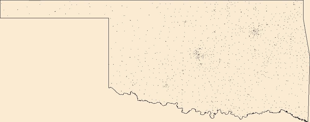
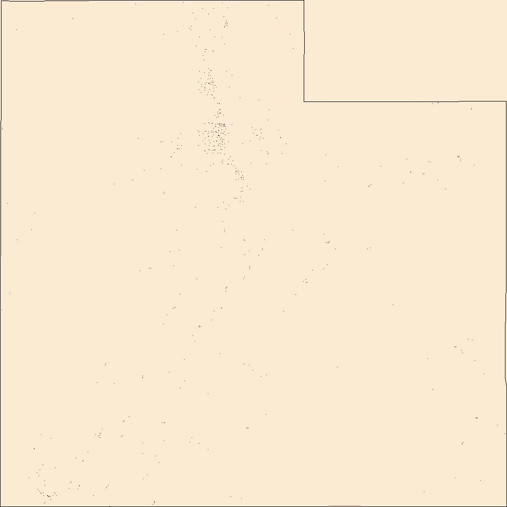
Geospatial data includes structures and other selected map features.
Tags: Adair,
Alfalfa,
Atoka,
Beaver,
Beckham, All tags...
Blaine,
Bryan,
Caddo,
Campground,
Canadian,
Carter,
Cherokee,
Choctaw,
Cimarron,
Cleveland,
Coal,
College / University,
Comanche,
Cotton,
Courthouse,
Craig,
Creek,
Custer,
Delaware,
Dewey,
Downloadable Data,
Ellis,
Esri Shapefile nan,
Fire Station/ EMS Station,
Garfield,
Garvin,
Grady,
Grant,
Greer,
Harmon,
Harper,
Haskell,
Hospital/Medical Center,
Hughes,
Information Center,
Jackson,
Jefferson,
Johnston,
Kay,
Kingfisher,
Kiowa,
Latimer,
Law Enforcement,
Le Flore,
Lincoln,
Logan,
Love,
Major,
Marshall,
Mayes,
McClain,
McCurtain,
McIntosh,
Murray,
Muskogee,
National Structures Dataset (NSD),
National Structures Dataset (NSD),
Noble,
Nowata,
OK,
Okfuskee,
Oklahoma,
Oklahoma,
Okmulgee,
Osage,
Ottawa,
Pawnee,
Payne,
Pittsburg,
Pontotoc,
Post Office,
Pottawatomie,
Prison/ Correctional Facility,
Pushmataha,
Roger Mills,
Rogers,
School,
School:Elementary,
School:High School,
School:Middle School,
Seminole,
Sequoyah,
Shapefile,
State,
State,
State Capitol,
Stephens,
Structures,
Technical School,
Texas,
Tillman,
Town Hall,
Trade School,
Trailhead,
Tulsa,
US,
United States,
Visitor Center,
Wagoner,
Washington,
Washita,
Woods,
Woodward,
structure, Fewer tags

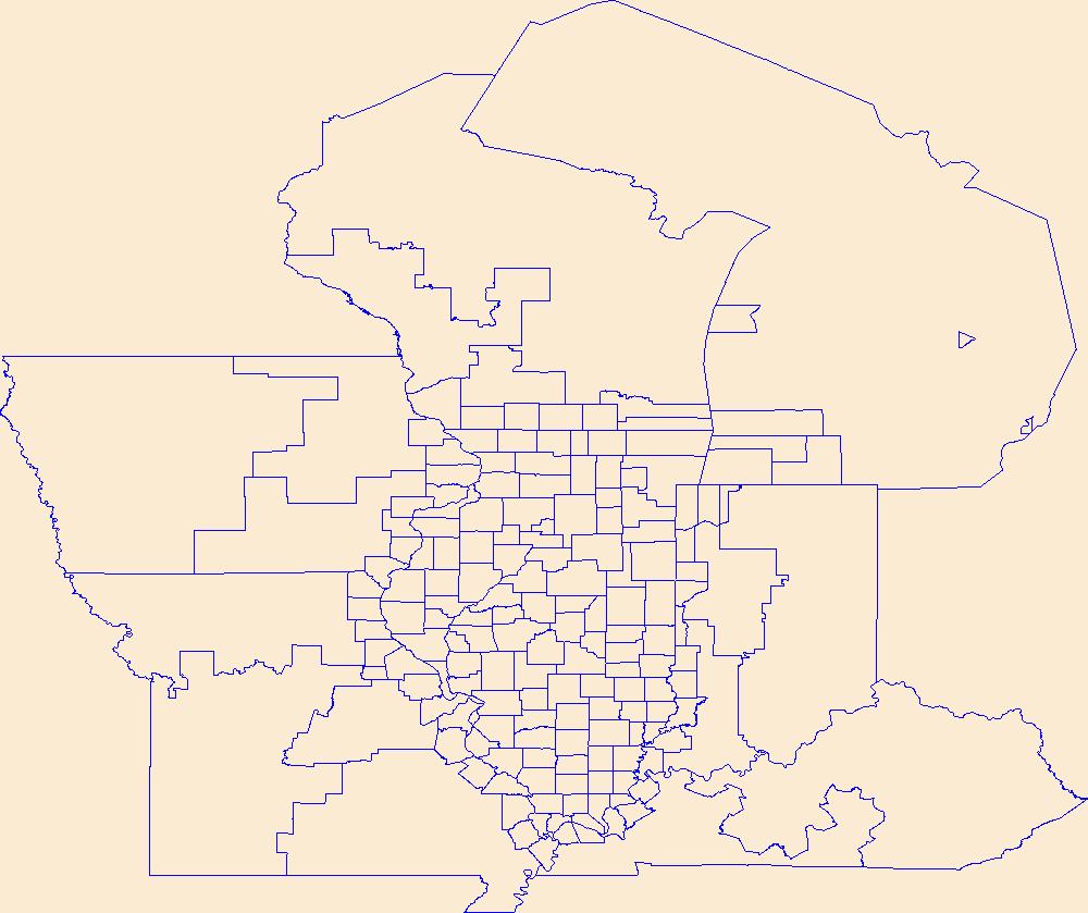
Geospatial data is comprised of government boundaries.
Types: Citation;
Tags: Adams,
Allen,
Bartholomew,
Benton,
Blackford, All tags...
Boone,
Boundaries,
Brown,
Carroll,
Cass,
Clark,
Clay,
Clinton,
County or Equivalent,
Crawford,
Daviess,
DeKalb,
Dearborn,
Decatur,
Delaware,
Downloadable Data,
Dubois,
Elkhart,
Esri File GeoDatabase 10,
Fayette,
FileGDB,
Floyd,
Fountain,
Franklin,
Fulton,
Gibson,
Grant,
Greene,
Hamilton,
Hancock,
Harrison,
Hendricks,
Henry,
Howard,
Huntington,
IN,
Incorporated Place,
Indiana,
Jackson,
Jasper,
Jay,
Jefferson,
Jennings,
Johnson,
Jurisdictional,
Knox,
Kosciusko,
LaGrange,
LaPorte,
Lake,
Lawrence,
Madison,
Marion,
Marshall,
Martin,
Miami,
Minor Civil Division,
Monroe,
Montgomery,
Morgan,
National Boundary Dataset (NBD),
National Boundary Dataset (NBD),
Native American Area,
Newton,
Noble,
Ohio,
Orange,
Owen,
PLSS First Division,
PLSS Special Survey,
PLSS Township,
Parke,
Perry,
Pike,
Porter,
Posey,
Public Land Survey System,
Pulaski,
Putnam,
Randolph,
Reserve,
Ripley,
Rush,
Scott,
Shelby,
Spencer,
St. Joseph,
Starke,
State,
State,
State or Territory,
Steuben,
Sullivan,
Switzerland,
Tippecanoe,
Tipton,
U.S. National Grid,
US,
Unincorporated Place,
Union,
United States,
Vanderburgh,
Vermillion,
Vigo,
Wabash,
Warren,
Warrick,
Washington,
Wayne,
Wells,
White,
Whitley,
boundaries,
boundary,
cadastral surveys,
geographic names,
land ownership,
land use maps,
legal land descriptions,
political and administrative boundaries,
zoning maps, Fewer tags

Layers of geospatial data include roads, airports, trails, and railroads.
Tags: Accomack,
Airport Complex,
Airport Point,
Airport Runway,
Airports, All tags...
Airstrips,
Albemarle,
Alexandria,
Alleghany,
Amelia,
Amherst,
Appomattox,
Arlington,
Augusta,
Bath,
Bedford,
Bland,
Botetourt,
Bristol,
Brunswick,
Buchanan,
Buckingham,
Buena Vista,
Campbell,
Caroline,
Carroll,
Charles City,
Charlotte,
Charlottesville,
Chesapeake,
Chesterfield,
Clarke,
Colonial Heights,
Covington,
Craig,
Culpeper,
Cumberland,
Danville,
Dickenson,
Dinwiddie,
Downloadable Data,
Emporia,
Essex,
Fairfax,
Falls Church,
Fauquier,
Floyd,
Fluvanna,
Franklin,
Frederick,
Fredericksburg,
Galax,
GeoPackage,
Geographic names,
Giles,
Gloucester,
Goochland,
Grayson,
Greene,
Greensville,
Halifax,
Hampton,
Hanover,
Harrisonburg,
Henrico,
Henry,
Highland,
Hopewell,
Isle of Wight,
James City,
King George,
King William,
King and Queen,
Lancaster,
Lee,
Lexington,
Loudoun,
Louisa,
Lunenburg,
Lynchburg,
Madison,
Manassas,
Manassas Park,
Martinsville,
Mathews,
Mecklenburg,
Middlesex,
Montgomery,
National Transportation Dataset (NTD),
National Transportation Dataset (NTD),
Nelson,
New Kent,
Newport News,
Norfolk,
Northampton,
Northumberland,
Norton,
Nottoway,
Open Geospatial Consortium GeoPackage 1.2,
Orange,
Page,
Patrick,
Petersburg,
Pittsylvania,
Poquoson,
Portsmouth,
Powhatan,
Prince Edward,
Prince George,
Prince William,
Pulaski,
Radford,
Railways,
Rappahannock,
Richmond,
Roads,
Roanoke,
Rockbridge,
Rockingham,
Russell,
Salem,
Scott,
Shenandoah,
Smyth,
Southampton,
Spotsylvania,
Stafford,
State,
State,
Staunton,
Suffolk,
Surry,
Sussex,
Tazewell,
Trail,
Trails,
Transportation,
Transportation,
US,
United States,
VA,
Virginia,
Virginia Beach,
Warren,
Washington,
Waterway,
Waynesboro,
Westmoreland,
Williamsburg,
Winchester,
Wise,
Wythe,
York,
transportation, Fewer tags

Geospatial data is comprised of government boundaries.
Tags: Adams,
Ashland,
Barron,
Bayfield,
Boundaries, All tags...
Brown,
Buffalo,
Burnett,
Calumet,
Chippewa,
Clark,
Columbia,
County or Equivalent,
Crawford,
Dane,
Dodge,
Door,
Douglas,
Downloadable Data,
Dunn,
Eau Claire,
Florence,
Fond du Lac,
Forest,
GeoPackage,
Grant,
Green,
Green Lake,
Incorporated Place,
Iowa,
Iron,
Jackson,
Jefferson,
Juneau,
Jurisdictional,
Kenosha,
Kewaunee,
La Crosse,
Lafayette,
Langlade,
Lincoln,
Manitowoc,
Marathon,
Marinette,
Marquette,
Menominee,
Milwaukee,
Minor Civil Division,
Monroe,
National Boundary Dataset (NBD),
National Boundary Dataset (NBD),
Native American Area,
Oconto,
Oneida,
Open Geospatial Consortium GeoPackage 1.2,
Outagamie,
Ozaukee,
PLSS First Division,
PLSS Special Survey,
PLSS Township,
Pepin,
Pierce,
Polk,
Portage,
Price,
Public Land Survey System,
Racine,
Reserve,
Richland,
Rock,
Rusk,
Sauk,
Sawyer,
Shawano,
Sheboygan,
St. Croix,
State,
State,
State or Territory,
Taylor,
Trempealeau,
U.S. National Grid,
US,
Unincorporated Place,
United States,
Vernon,
Vilas,
WI,
Walworth,
Washburn,
Washington,
Waukesha,
Waupaca,
Waushara,
Winnebago,
Wisconsin,
Wood,
boundaries,
boundary,
cadastral surveys,
geographic names,
land ownership,
land use maps,
legal land descriptions,
political and administrative boundaries,
zoning maps, Fewer tags
Geospatial data is comprised of government boundaries.
Tags: Beaver,
Boundaries,
Box Elder,
Cache,
Carbon, All tags...
County or Equivalent,
Daggett,
Davis,
Downloadable Data,
Duchesne,
Emery,
Esri Shapefile nan,
Garfield,
Grand,
Incorporated Place,
Iron,
Juab,
Jurisdictional,
Kane,
Millard,
Minor Civil Division,
Morgan,
National Boundary Dataset (NBD),
National Boundary Dataset (NBD),
Native American Area,
PLSS First Division,
PLSS Special Survey,
PLSS Township,
Piute,
Public Land Survey System,
Reserve,
Rich,
Salt Lake,
San Juan,
Sanpete,
Sevier,
Shapefile,
State,
State,
State or Territory,
Summit,
Tooele,
U.S. National Grid,
US,
UT,
Uintah,
Unincorporated Place,
United States,
Utah,
Utah,
Wasatch,
Washington,
Wayne,
Weber,
boundaries,
boundary,
cadastral surveys,
geographic names,
land ownership,
land use maps,
legal land descriptions,
political and administrative boundaries,
zoning maps, Fewer tags
Geospatial data is comprised of government boundaries.
Tags: AR,
Arkansas,
Arkansas,
Ashley,
Baxter, All tags...
Benton,
Boone,
Boundaries,
Bradley,
Calhoun,
Carroll,
Chicot,
Clark,
Clay,
Cleburne,
Cleveland,
Columbia,
Conway,
County or Equivalent,
Craighead,
Crawford,
Crittenden,
Cross,
Dallas,
Desha,
Downloadable Data,
Drew,
Faulkner,
Franklin,
Fulton,
Garland,
GeoPackage,
Grant,
Greene,
Hempstead,
Hot Spring,
Howard,
Incorporated Place,
Independence,
Izard,
Jackson,
Jefferson,
Johnson,
Jurisdictional,
Lafayette,
Lawrence,
Lee,
Lincoln,
Little River,
Logan,
Lonoke,
Madison,
Marion,
Miller,
Minor Civil Division,
Mississippi,
Monroe,
Montgomery,
National Boundary Dataset (NBD),
National Boundary Dataset (NBD),
Native American Area,
Nevada,
Newton,
Open Geospatial Consortium GeoPackage 1.2,
Ouachita,
PLSS First Division,
PLSS Special Survey,
PLSS Township,
Perry,
Phillips,
Pike,
Poinsett,
Polk,
Pope,
Prairie,
Public Land Survey System,
Pulaski,
Randolph,
Reserve,
Saline,
Scott,
Searcy,
Sebastian,
Sevier,
Sharp,
St. Francis,
State,
State,
State or Territory,
Stone,
U.S. National Grid,
US,
Unincorporated Place,
Union,
United States,
Van Buren,
Washington,
White,
Woodruff,
Yell,
boundaries,
boundary,
cadastral surveys,
geographic names,
land ownership,
land use maps,
legal land descriptions,
political and administrative boundaries,
zoning maps, Fewer tags
Geospatial data is comprised of government boundaries.
Tags: Belknap,
Boundaries,
Carroll,
Cheshire,
Coos, All tags...
County or Equivalent,
Downloadable Data,
GeoPackage,
Grafton,
Hillsborough,
Incorporated Place,
Jurisdictional,
Merrimack,
Minor Civil Division,
NH,
National Boundary Dataset (NBD),
National Boundary Dataset (NBD),
Native American Area,
New Hampshire,
Open Geospatial Consortium GeoPackage 1.2,
PLSS First Division,
PLSS Special Survey,
PLSS Township,
Public Land Survey System,
Reserve,
Rockingham,
State,
State,
State or Territory,
Strafford,
Sullivan,
U.S. National Grid,
US,
Unincorporated Place,
United States,
boundaries,
boundary,
cadastral surveys,
geographic names,
land ownership,
land use maps,
legal land descriptions,
political and administrative boundaries,
zoning maps, Fewer tags
|
|

