Filters
Date Range
Extensions
Types
Contacts
Categories
Tag Types
Tag Schemes
|
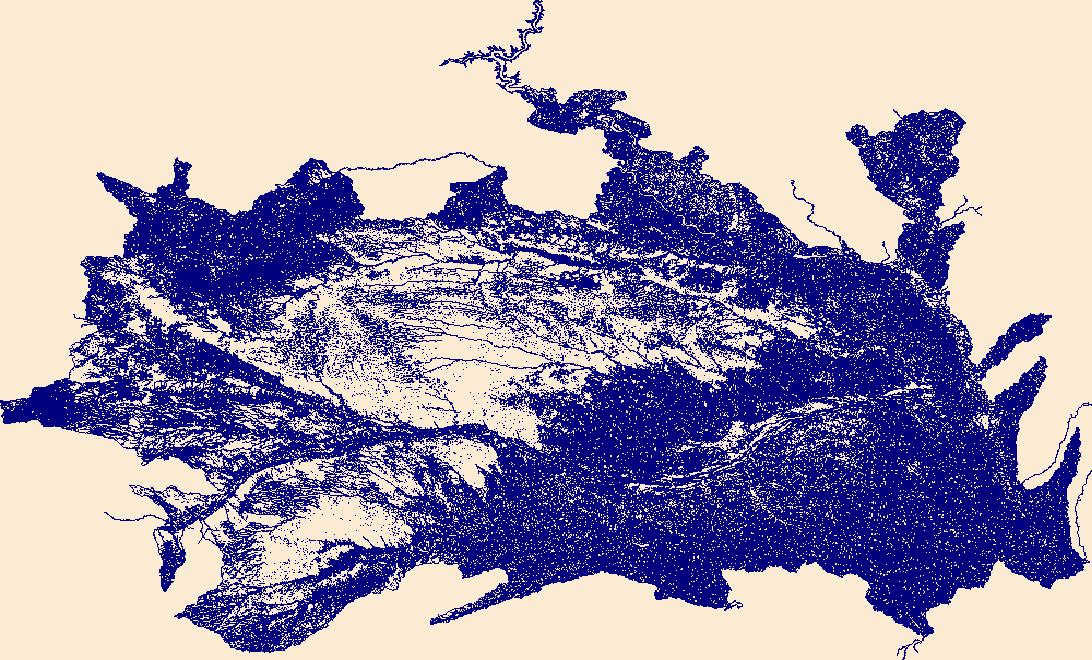
The National Hydrography Dataset (NHD) is a feature-based database that interconnects and uniquely identifies the stream segments or reaches that make up the nation's surface water drainage system. NHD data was originally developed at 1:100,000-scale and exists at that scale for the whole country. This high-resolution NHD, generally developed at 1:24,000/1:12,000 scale, adds detail to the original 1:100,000-scale NHD. (Data for Alaska, Puerto Rico and the Virgin Islands was developed at high-resolution, not 1:100,000 scale.) Local resolution NHD is being developed where partners and data exist. The NHD contains reach codes for networked features, flow direction, names, and centerline representations for areal water...
Tags: Adams,
Administrative watershed units,
Administrative watershed units,
Antelope,
Area of Complex Channels, All tags...
Area to be submerged,
Arthur,
Banner,
Basin,
Basin,
Bay/Inlet,
Blaine,
Boone,
Boundaries,
Boundary,
Box Butte,
Boyd,
Bridge,
Brown,
Buffalo,
Burt,
Butler,
Canal/Ditch,
Cass,
Cedar,
Chase,
Cherry,
Cheyenne,
Clay,
Coastline,
Colfax,
Connector,
Cuming,
Custer,
Dakota,
Dam/Weir,
Dawes,
Dawson,
Deuel,
Dixon,
Dodge,
Douglas,
Downloadable Data,
Drainage areas for surface water,
Drainageway,
Dundy,
Estuary,
Fillmore,
Flow direction network,
Flume,
ForeShore,
Franklin,
Frontier,
Furnas,
Gage,
Gaging Station,
Garden,
Garfield,
Gate,
GeoPackage,
Gosper,
Grant,
Greeley,
HU10,
HU12,
HU14,
HU16,
HU2,
HU4,
HU6,
HU8,
HUC,
Hall,
Hamilton,
Harlan,
Hayes,
Hazard Zone,
Hitchcock,
Holt,
Hooker,
Howard,
Hydrographic,
Hydrography,
Hydrography,
Hydrography,
Hydrologic Unit Code,
Hydrologic Units,
Ice mass,
Inundation Area,
Jefferson,
Johnson,
Kearney,
Keith,
Keya Paha,
Kimball,
Knox,
Lancaster,
Levee,
Lincoln,
Line,
Lock Chamber,
Logan,
Loup,
Madison,
Marsh,
McPherson,
Merrick,
Morrill,
NE,
Nance,
National Hydrography Dataset (NHD),
National Hydrography Dataset (NHD) Best Resolution,
National Hydrography Dataset (NHD) Best Resolution,
Nebraska,
Nemaha,
Nonearthen Shore,
Nuckolls,
Open Geospatial Consortium GeoPackage 1.2,
Orthoimage,
Otoe,
Pawnee,
Perkins,
Phelps,
Pierce,
Platte,
Playa,
Point,
PointEvent,
Polk,
Pond,
Rapids,
Rapids,
Reach,
Reach code,
Red Willow,
Reef,
Region,
Reservoir,
Richardson,
Rock,
Rock,
Saline,
Sarpy,
Saunders,
Scotts Bluff,
Sea/Ocean,
Seward,
Sheridan,
Sherman,
Sink/Rise,
Sioux,
Sounding Datum Line,
Special Use Zone,
Special Use Zone Limit,
Spillway,
Stanton,
State,
State,
State_Nebraska,
Stream,
Stream/River,
Sub-basin,
Sub-region,
Subbasin,
Submerged Stream,
Subregion,
Subwatershed,
Surface water systems,
Swamp,
Thayer,
Thomas,
Thurston,
Topographic,
Tunnel,
US,
Underground Conduit,
United States,
Valley,
WBD,
WBD,
Wall,
Wash,
Washington,
Water Intake Outflow,
Waterfall,
Watershed,
Watershed Boundaries,
Watershed Boundary Dataset,
Watershed Boundary Dataset,
Wayne,
Webster,
Well,
Wheeler,
York,
artificial path,
boundaries,
dams,
drainage systems and characteristics,
inlandWaters,
lakes,
ngda,
rivers, Fewer tags
The National Hydrography Dataset (NHD) is a feature-based database that interconnects and uniquely identifies the stream segments or reaches that make up the nation's surface water drainage system. NHD data was originally developed at 1:100,000-scale and exists at that scale for the whole country. This high-resolution NHD, generally developed at 1:24,000/1:12,000 scale, adds detail to the original 1:100,000-scale NHD. (Data for Alaska, Puerto Rico and the Virgin Islands was developed at high-resolution, not 1:100,000 scale.) Local resolution NHD is being developed where partners and data exist. The NHD contains reach codes for networked features, flow direction, names, and centerline representations for areal water...
Tags: Ada,
Adams,
Administrative watershed units,
Administrative watershed units,
Area of Complex Channels, All tags...
Area to be submerged,
Bannock,
Basin,
Basin,
Bay/Inlet,
Bear Lake,
Benewah,
Bingham,
Blaine,
Boise,
Bonner,
Bonneville,
Boundaries,
Boundary,
Boundary,
Bridge,
Butte,
Camas,
Canal/Ditch,
Canyon,
Caribou,
Cassia,
Clark,
Clearwater,
Coastline,
Connector,
Custer,
Dam/Weir,
Downloadable Data,
Drainage areas for surface water,
Drainageway,
Elmore,
Estuary,
Flow direction network,
Flume,
ForeShore,
Franklin,
Fremont,
Gaging Station,
Gate,
Gem,
GeoPackage,
Gooding,
HU10,
HU12,
HU14,
HU16,
HU2,
HU4,
HU6,
HU8,
HUC,
Hazard Zone,
Hydrographic,
Hydrography,
Hydrography,
Hydrography,
Hydrologic Unit Code,
Hydrologic Units,
ID,
Ice mass,
Idaho,
Idaho,
Inundation Area,
Jefferson,
Jerome,
Kootenai,
Latah,
Lemhi,
Levee,
Lewis,
Lincoln,
Line,
Lock Chamber,
Madison,
Marsh,
Minidoka,
National Hydrography Dataset (NHD),
National Hydrography Dataset (NHD) Best Resolution,
National Hydrography Dataset (NHD) Best Resolution,
Nez Perce,
Nonearthen Shore,
Oneida,
Open Geospatial Consortium GeoPackage 1.2,
Orthoimage,
Owyhee,
Payette,
Playa,
Point,
PointEvent,
Pond,
Power,
Rapids,
Rapids,
Reach,
Reach code,
Reef,
Region,
Reservoir,
Rock,
Sea/Ocean,
Shoshone,
Sink/Rise,
Sounding Datum Line,
Special Use Zone,
Special Use Zone Limit,
Spillway,
State,
State,
State_Idaho,
Stream,
Stream/River,
Sub-basin,
Sub-region,
Subbasin,
Submerged Stream,
Subregion,
Subwatershed,
Surface water systems,
Swamp,
Teton,
Topographic,
Tunnel,
Twin Falls,
US,
Underground Conduit,
United States,
Valley,
WBD,
WBD,
Wall,
Wash,
Washington,
Water Intake Outflow,
Waterfall,
Watershed,
Watershed Boundaries,
Watershed Boundary Dataset,
Watershed Boundary Dataset,
Well,
artificial path,
boundaries,
dams,
drainage systems and characteristics,
inlandWaters,
lakes,
ngda,
rivers, Fewer tags
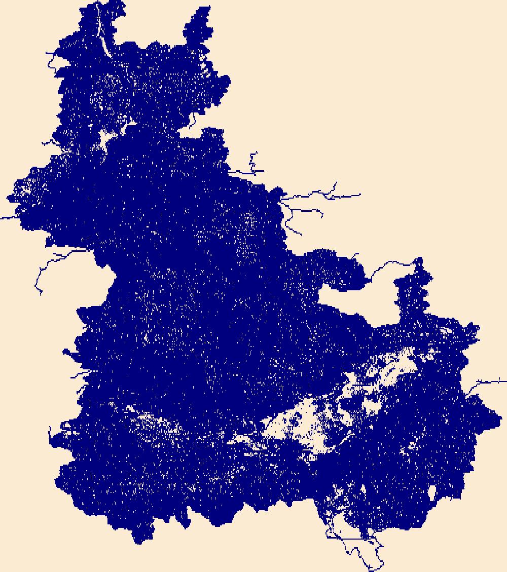
The National Hydrography Dataset (NHD) is a feature-based database that interconnects and uniquely identifies the stream segments or reaches that make up the nation's surface water drainage system. NHD data was originally developed at 1:100,000-scale and exists at that scale for the whole country. This high-resolution NHD, generally developed at 1:24,000/1:12,000 scale, adds detail to the original 1:100,000-scale NHD. (Data for Alaska, Puerto Rico and the Virgin Islands was developed at high-resolution, not 1:100,000 scale.) Local resolution NHD is being developed where partners and data exist. The NHD contains reach codes for networked features, flow direction, names, and centerline representations for areal water...
Tags: AS,
Administrative watershed units,
Administrative watershed units,
American Samoa,
Area of Complex Channels, All tags...
Area to be submerged,
Basin,
Basin,
Bay/Inlet,
Boundaries,
Boundary,
Bridge,
Canal/Ditch,
Coastline,
Connector,
Dam/Weir,
Downloadable Data,
Drainage areas for surface water,
Drainageway,
Eastern,
Esri File GeoDatabase 10,
Estuary,
FileGDB,
Flow direction network,
Flume,
ForeShore,
Gaging Station,
Gate,
HU10,
HU12,
HU14,
HU16,
HU2,
HU4,
HU6,
HU8,
HUC,
Hazard Zone,
Hydrographic,
Hydrography,
Hydrography,
Hydrography,
Hydrologic Unit Code,
Hydrologic Units,
Ice mass,
Inundation Area,
Levee,
Line,
Lock Chamber,
Manu'a,
Marsh,
National Hydrography Dataset (NHD),
National Hydrography Dataset (NHD) Best Resolution,
National Hydrography Dataset (NHD) Best Resolution,
Nonearthen Shore,
Orthoimage,
Playa,
Point,
PointEvent,
Pond,
Rapids,
Rapids,
Reach,
Reach code,
Reef,
Region,
Reservoir,
Rock,
Rose Island,
Sea/Ocean,
Sink/Rise,
Sounding Datum Line,
Special Use Zone,
Special Use Zone Limit,
Spillway,
State,
State,
State_American Samoa,
Stream,
Stream/River,
Sub-basin,
Sub-region,
Subbasin,
Submerged Stream,
Subregion,
Subwatershed,
Surface water systems,
Swains Island,
Swamp,
Topographic,
Tunnel,
US,
Underground Conduit,
United States,
WBD,
WBD,
Wall,
Wash,
Water Intake Outflow,
Waterfall,
Watershed,
Watershed Boundaries,
Watershed Boundary Dataset,
Watershed Boundary Dataset,
Well,
Western,
artificial path,
boundaries,
dams,
drainage systems and characteristics,
inlandWaters,
lakes,
ngda,
rivers, Fewer tags
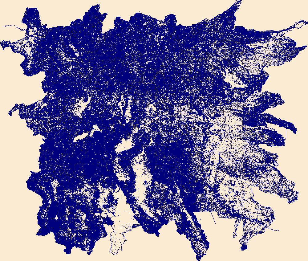
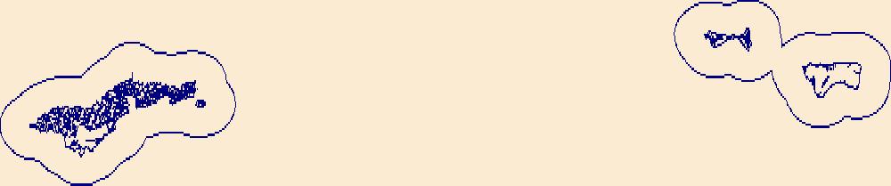
The National Hydrography Dataset (NHD) is a feature-based database that interconnects and uniquely identifies the stream segments or reaches that make up the nation's surface water drainage system. NHD data was originally developed at 1:100,000-scale and exists at that scale for the whole country. This high-resolution NHD, generally developed at 1:24,000/1:12,000 scale, adds detail to the original 1:100,000-scale NHD. (Data for Alaska, Puerto Rico and the Virgin Islands was developed at high-resolution, not 1:100,000 scale.) Local resolution NHD is being developed where partners and data exist. The NHD contains reach codes for networked features, flow direction, names, and centerline representations for areal water...
Tags: Administrative watershed units,
Administrative watershed units,
Area of Complex Channels,
Area to be submerged,
Basin, All tags...
Basin,
Bay/Inlet,
Bernalillo,
Boundaries,
Boundary,
Bridge,
Canal/Ditch,
Catron,
Chaves,
Cibola,
Coastline,
Colfax,
Connector,
Curry,
Dam/Weir,
De Baca,
Downloadable Data,
Doña Ana,
Drainage areas for surface water,
Drainageway,
Eddy,
Estuary,
Flow direction network,
Flume,
ForeShore,
Gaging Station,
Gate,
GeoPackage,
Grant,
Guadalupe,
HU10,
HU12,
HU14,
HU16,
HU2,
HU4,
HU6,
HU8,
HUC,
Harding,
Hazard Zone,
Hidalgo,
Hydrographic,
Hydrography,
Hydrography,
Hydrography,
Hydrologic Unit Code,
Hydrologic Units,
Ice mass,
Inundation Area,
Lea,
Levee,
Lincoln,
Line,
Lock Chamber,
Los Alamos,
Luna,
Marsh,
McKinley,
Mora,
NM,
National Hydrography Dataset (NHD),
National Hydrography Dataset (NHD) Best Resolution,
National Hydrography Dataset (NHD) Best Resolution,
New Mexico,
Nonearthen Shore,
Open Geospatial Consortium GeoPackage 1.2,
Orthoimage,
Otero,
Playa,
Point,
PointEvent,
Pond,
Quay,
Rapids,
Rapids,
Reach,
Reach code,
Reef,
Region,
Reservoir,
Rio Arriba,
Rock,
Roosevelt,
San Juan,
San Miguel,
Sandoval,
Santa Fe,
Sea/Ocean,
Sierra,
Sink/Rise,
Socorro,
Sounding Datum Line,
Special Use Zone,
Special Use Zone Limit,
Spillway,
State,
State,
State_New Mexico,
Stream,
Stream/River,
Sub-basin,
Sub-region,
Subbasin,
Submerged Stream,
Subregion,
Subwatershed,
Surface water systems,
Swamp,
Taos,
Topographic,
Torrance,
Tunnel,
US,
Underground Conduit,
Union,
United States,
Valencia,
WBD,
WBD,
Wall,
Wash,
Water Intake Outflow,
Waterfall,
Watershed,
Watershed Boundaries,
Watershed Boundary Dataset,
Watershed Boundary Dataset,
Well,
artificial path,
boundaries,
dams,
drainage systems and characteristics,
inlandWaters,
lakes,
ngda,
rivers, Fewer tags
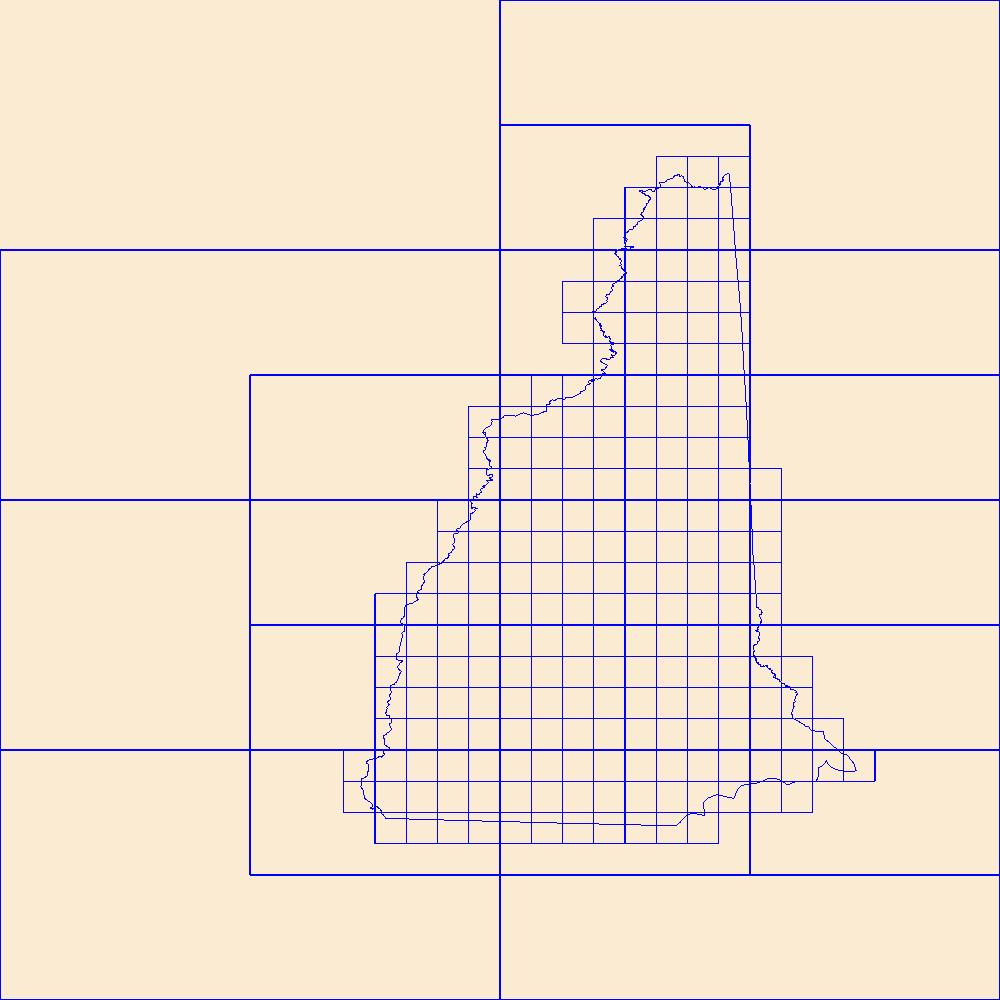
This data represents the map extent for current and historical USGS topographic maps for the United States and Territories, including 1 X 2 Degree, 1 X 1 Degree, 30 X 60 Minute, 15 X 15 Minute, 7.5 X 7.5 Minute, and 3.75 X 3.75 Minute. The grid was generated using ESRI ArcInfo GIS software.
Tags: Belknap,
Boundaries,
Carroll,
Cheshire,
Coos, All tags...
Downloadable Data,
Esri File GeoDatabase 10,
FileGDB,
Grafton,
Hillsborough,
Map Indices,
Map Indices,
Map Indices,
Merrimack,
NH,
New Hampshire,
Rockingham,
State,
State,
Strafford,
Sullivan,
US,
United States,
United States of America,
cells,
map indices,
polygon grid, Fewer tags
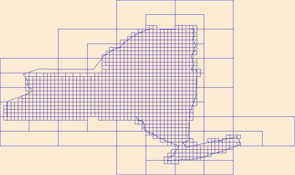
This data represents the map extent for current and historical USGS topographic maps for the United States and Territories, including 1 X 2 Degree, 1 X 1 Degree, 30 X 60 Minute, 15 X 15 Minute, 7.5 X 7.5 Minute, and 3.75 X 3.75 Minute. The grid was generated using ESRI ArcInfo GIS software.
Tags: Albany,
Allegany,
Boundaries,
Bronx,
Broome, All tags...
Cattaraugus,
Cayuga,
Chautauqua,
Chemung,
Chenango,
Clinton,
Columbia,
Cortland,
Delaware,
Downloadable Data,
Dutchess,
Erie,
Esri File GeoDatabase 10,
Essex,
FileGDB,
Franklin,
Fulton,
Genesee,
Greene,
Hamilton,
Herkimer,
Jefferson,
Kings,
Lewis,
Livingston,
Madison,
Map Indices,
Map Indices,
Map Indices,
Monroe,
Montgomery,
NY,
Nassau,
New York,
New York,
Niagara,
Oneida,
Onondaga,
Ontario,
Orange,
Orleans,
Oswego,
Otsego,
Putnam,
Queens,
Rensselaer,
Richmond,
Rockland,
Saratoga,
Schenectady,
Schoharie,
Schuyler,
Seneca,
St. Lawrence,
State,
State,
Steuben,
Suffolk,
Sullivan,
Tioga,
Tompkins,
US,
Ulster,
United States,
United States of America,
Warren,
Washington,
Wayne,
Westchester,
Wyoming,
Yates,
cells,
map indices,
polygon grid, Fewer tags
This data represents the map extent for current and historical USGS topographic maps for the United States and Territories, including 1 X 2 Degree, 1 X 1 Degree, 30 X 60 Minute, 15 X 15 Minute, 7.5 X 7.5 Minute, and 3.75 X 3.75 Minute. The grid was generated using ESRI ArcInfo GIS software.
Tags: Boundaries,
Downloadable Data,
Esri File GeoDatabase 10,
FileGDB,
MP, All tags...
Map Indices,
Map Indices,
Map Indices,
Northern Islands,
Northern Mariana Islands,
Rota,
Saipan,
State,
State,
Tinian,
US,
United States,
United States of America,
cells,
map indices,
polygon grid, Fewer tags
This data represents the map extent for current and historical USGS topographic maps for the United States and Territories, including 1 X 2 Degree, 1 X 1 Degree, 30 X 60 Minute, 15 X 15 Minute, 7.5 X 7.5 Minute, and 3.75 X 3.75 Minute. The grid was generated using ESRI ArcInfo GIS software.
Tags: Androscoggin,
Aroostook,
Boundaries,
Cumberland,
Downloadable Data, All tags...
Esri File GeoDatabase 10,
FileGDB,
Franklin,
Hancock,
Kennebec,
Knox,
Lincoln,
ME,
Maine,
Map Indices,
Map Indices,
Map Indices,
Oxford,
Penobscot,
Piscataquis,
Sagadahoc,
Somerset,
State,
State,
US,
United States,
United States of America,
Waldo,
Washington,
York,
cells,
map indices,
polygon grid, Fewer tags
This data represents the map extent for current and historical USGS topographic maps for the United States and Territories, including 1 X 2 Degree, 1 X 1 Degree, 30 X 60 Minute, 15 X 15 Minute, 7.5 X 7.5 Minute, and 3.75 X 3.75 Minute. The grid was generated using ESRI ArcInfo GIS software.
Types: Citation;
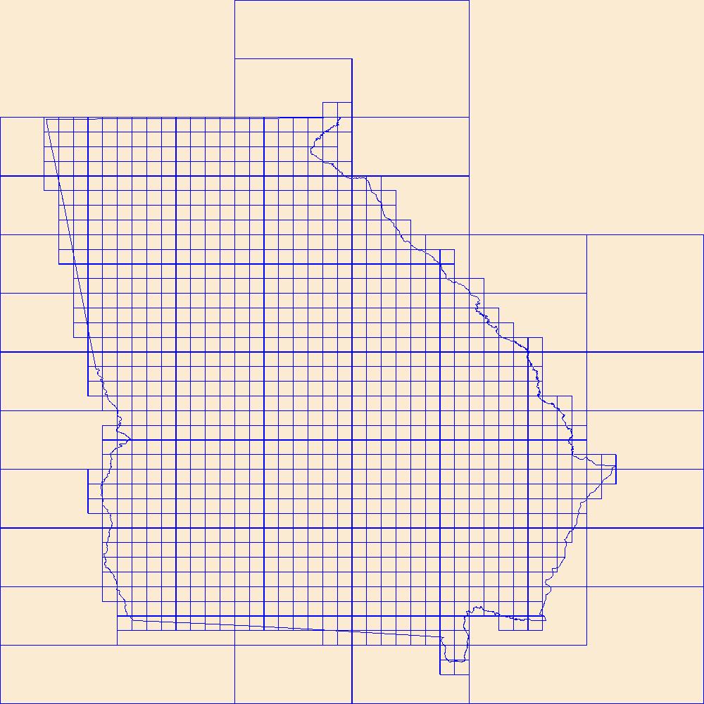
Tags: Appling,
Atkinson,
Bacon,
Baker,
Baldwin, All tags...
Banks,
Barrow,
Bartow,
Ben Hill,
Berrien,
Bibb,
Bleckley,
Boundaries,
Brantley,
Brooks,
Bryan,
Bulloch,
Burke,
Butts,
Calhoun,
Camden,
Candler,
Carroll,
Catoosa,
Charlton,
Chatham,
Chattahoochee,
Chattooga,
Cherokee,
Clarke,
Clay,
Clayton,
Clinch,
Cobb,
Coffee,
Colquitt,
Columbia,
Cook,
Coweta,
Crawford,
Crisp,
Dade,
Dawson,
DeKalb,
Decatur,
Dodge,
Dooly,
Dougherty,
Douglas,
Downloadable Data,
Early,
Echols,
Effingham,
Elbert,
Emanuel,
Esri Shapefile nan,
Evans,
Fannin,
Fayette,
Floyd,
Forsyth,
Franklin,
Fulton,
GA,
Georgia,
Gilmer,
Glascock,
Glynn,
Gordon,
Grady,
Greene,
Gwinnett,
Habersham,
Hall,
Hancock,
Haralson,
Harris,
Hart,
Heard,
Henry,
Houston,
Irwin,
Jackson,
Jasper,
Jeff Davis,
Jefferson,
Jenkins,
Johnson,
Jones,
Lamar,
Lanier,
Laurens,
Lee,
Liberty,
Lincoln,
Long,
Lowndes,
Lumpkin,
Macon,
Madison,
Map Indices,
Map Indices,
Map Indices,
Marion,
McDuffie,
McIntosh,
Meriwether,
Miller,
Mitchell,
Monroe,
Montgomery,
Morgan,
Murray,
Muscogee,
Newton,
Oconee,
Oglethorpe,
Paulding,
Peach,
Pickens,
Pierce,
Pike,
Polk,
Pulaski,
Putnam,
Quitman,
Rabun,
Randolph,
Richmond,
Rockdale,
Schley,
Screven,
Seminole,
Shapefile,
Spalding,
State,
State,
Stephens,
Stewart,
Sumter,
Talbot,
Taliaferro,
Tattnall,
Taylor,
Telfair,
Terrell,
Thomas,
Tift,
Toombs,
Towns,
Treutlen,
Troup,
Turner,
Twiggs,
US,
Union,
United States,
United States of America,
Upson,
Walker,
Walton,
Ware,
Warren,
Washington,
Wayne,
Webster,
Wheeler,
White,
Whitfield,
Wilcox,
Wilkes,
Wilkinson,
Worth,
cells,
map indices,
polygon grid, Fewer tags
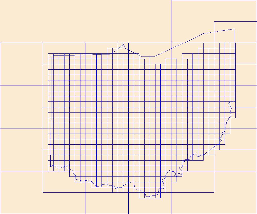
This data represents the map extent for current and historical USGS topographic maps for the United States and Territories, including 1 X 2 Degree, 1 X 1 Degree, 30 X 60 Minute, 15 X 15 Minute, 7.5 X 7.5 Minute, and 3.75 X 3.75 Minute. The grid was generated using ESRI ArcInfo GIS software.
Types: Citation;
Tags: Adams,
Allen,
Ashland,
Ashtabula,
Athens, All tags...
Auglaize,
Belmont,
Boundaries,
Brown,
Butler,
Carroll,
Champaign,
Clark,
Clermont,
Clinton,
Columbiana,
Coshocton,
Crawford,
Cuyahoga,
Darke,
Defiance,
Delaware,
Downloadable Data,
Erie,
Esri Shapefile nan,
Fairfield,
Fayette,
Franklin,
Fulton,
Gallia,
Geauga,
Greene,
Guernsey,
Hamilton,
Hancock,
Hardin,
Harrison,
Henry,
Highland,
Hocking,
Holmes,
Huron,
Jackson,
Jefferson,
Knox,
Lake,
Lawrence,
Licking,
Logan,
Lorain,
Lucas,
Madison,
Mahoning,
Map Indices,
Map Indices,
Map Indices,
Marion,
Medina,
Meigs,
Mercer,
Miami,
Monroe,
Montgomery,
Morgan,
Morrow,
Muskingum,
Noble,
OH,
Ohio,
Ottawa,
Paulding,
Perry,
Pickaway,
Pike,
Portage,
Preble,
Putnam,
Richland,
Ross,
Sandusky,
Scioto,
Seneca,
Shapefile,
Shelby,
Stark,
State,
State,
Summit,
Trumbull,
Tuscarawas,
US,
Union,
United States,
United States of America,
Van Wert,
Vinton,
Warren,
Washington,
Wayne,
Williams,
Wood,
Wyandot,
cells,
map indices,
polygon grid, Fewer tags
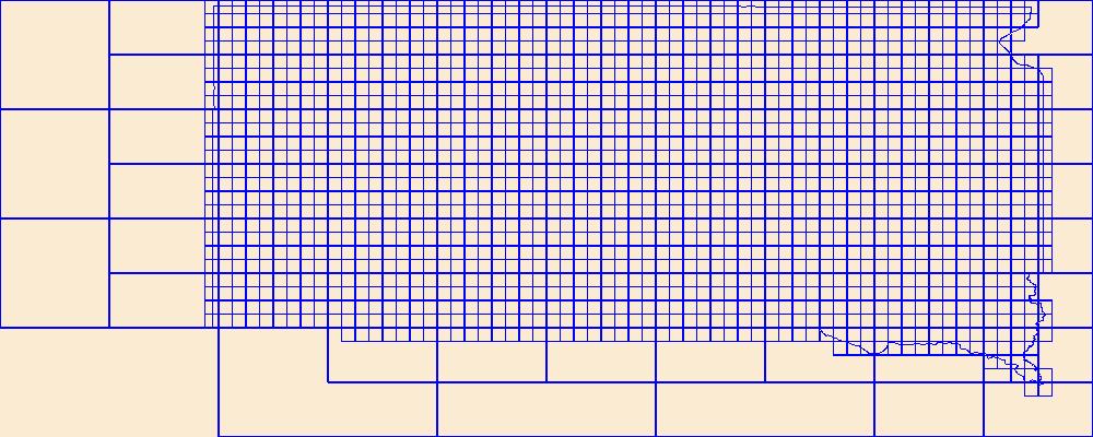
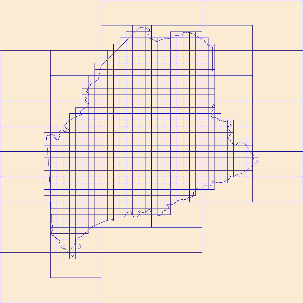
This data represents the map extent for current and historical USGS topographic maps for the United States and Territories, including 1 X 2 Degree, 1 X 1 Degree, 30 X 60 Minute, 15 X 15 Minute, 7.5 X 7.5 Minute, and 3.75 X 3.75 Minute. The grid was generated using ESRI ArcInfo GIS software.
Types: Citation;
Tags: Aurora,
Beadle,
Bennett,
Bon Homme,
Boundaries, All tags...
Brookings,
Brown,
Brule,
Buffalo,
Butte,
Campbell,
Charles Mix,
Clark,
Clay,
Codington,
Corson,
Custer,
Davison,
Day,
Deuel,
Dewey,
Douglas,
Downloadable Data,
Edmunds,
Esri Shapefile nan,
Fall River,
Faulk,
Grant,
Gregory,
Haakon,
Hamlin,
Hand,
Hanson,
Harding,
Hughes,
Hutchinson,
Hyde,
Jackson,
Jerauld,
Jones,
Kingsbury,
Lake,
Lawrence,
Lincoln,
Lyman,
Map Indices,
Map Indices,
Map Indices,
Marshall,
McCook,
McPherson,
Meade,
Mellette,
Miner,
Minnehaha,
Moody,
Oglala Lakota,
Pennington,
Perkins,
Potter,
Roberts,
SD,
Sanborn,
Shapefile,
South Dakota,
Spink,
Stanley,
State,
State,
Sully,
Todd,
Tripp,
Turner,
US,
Union,
United States,
United States of America,
Walworth,
Yankton,
Ziebach,
cells,
map indices,
polygon grid, Fewer tags
This data represents the map extent for current and historical USGS topographic maps for the United States and Territories, including 1 X 2 Degree, 1 X 1 Degree, 30 X 60 Minute, 15 X 15 Minute, 7.5 X 7.5 Minute, and 3.75 X 3.75 Minute. The grid was generated using ESRI ArcInfo GIS software.
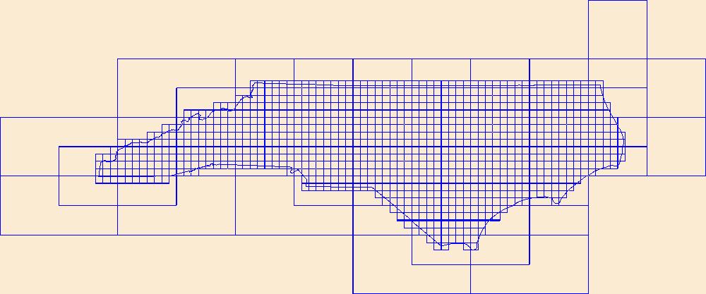
Types: Citation;
Tags: Alamance,
Alexander,
Alleghany,
Anson,
Ashe, All tags...
Avery,
Beaufort,
Bertie,
Bladen,
Boundaries,
Brunswick,
Buncombe,
Burke,
Cabarrus,
Caldwell,
Camden,
Carteret,
Caswell,
Catawba,
Chatham,
Cherokee,
Chowan,
Clay,
Cleveland,
Columbus,
Craven,
Cumberland,
Currituck,
Dare,
Davidson,
Davie,
Downloadable Data,
Duplin,
Durham,
Edgecombe,
Esri Shapefile nan,
Forsyth,
Franklin,
Gaston,
Gates,
Graham,
Granville,
Greene,
Guilford,
Halifax,
Harnett,
Haywood,
Henderson,
Hertford,
Hoke,
Hyde,
Iredell,
Jackson,
Johnston,
Jones,
Lee,
Lenoir,
Lincoln,
Macon,
Madison,
Map Indices,
Map Indices,
Map Indices,
Martin,
McDowell,
Mecklenburg,
Mitchell,
Montgomery,
Moore,
NC,
Nash,
New Hanover,
North Carolina,
Northampton,
Onslow,
Orange,
Pamlico,
Pasquotank,
Pender,
Perquimans,
Person,
Pitt,
Polk,
Randolph,
Richmond,
Robeson,
Rockingham,
Rowan,
Rutherford,
Sampson,
Scotland,
Shapefile,
Stanly,
State,
State,
Stokes,
Surry,
Swain,
Transylvania,
Tyrrell,
US,
Union,
United States,
United States of America,
Vance,
Wake,
Warren,
Washington,
Watauga,
Wayne,
Wilkes,
Wilson,
Yadkin,
Yancey,
cells,
map indices,
polygon grid, Fewer tags
This data represents the map extent for current and historical USGS topographic maps for the United States and Territories, including 1 X 2 Degree, 1 X 1 Degree, 30 X 60 Minute, 15 X 15 Minute, 7.5 X 7.5 Minute, and 3.75 X 3.75 Minute. The grid was generated using ESRI ArcInfo GIS software.
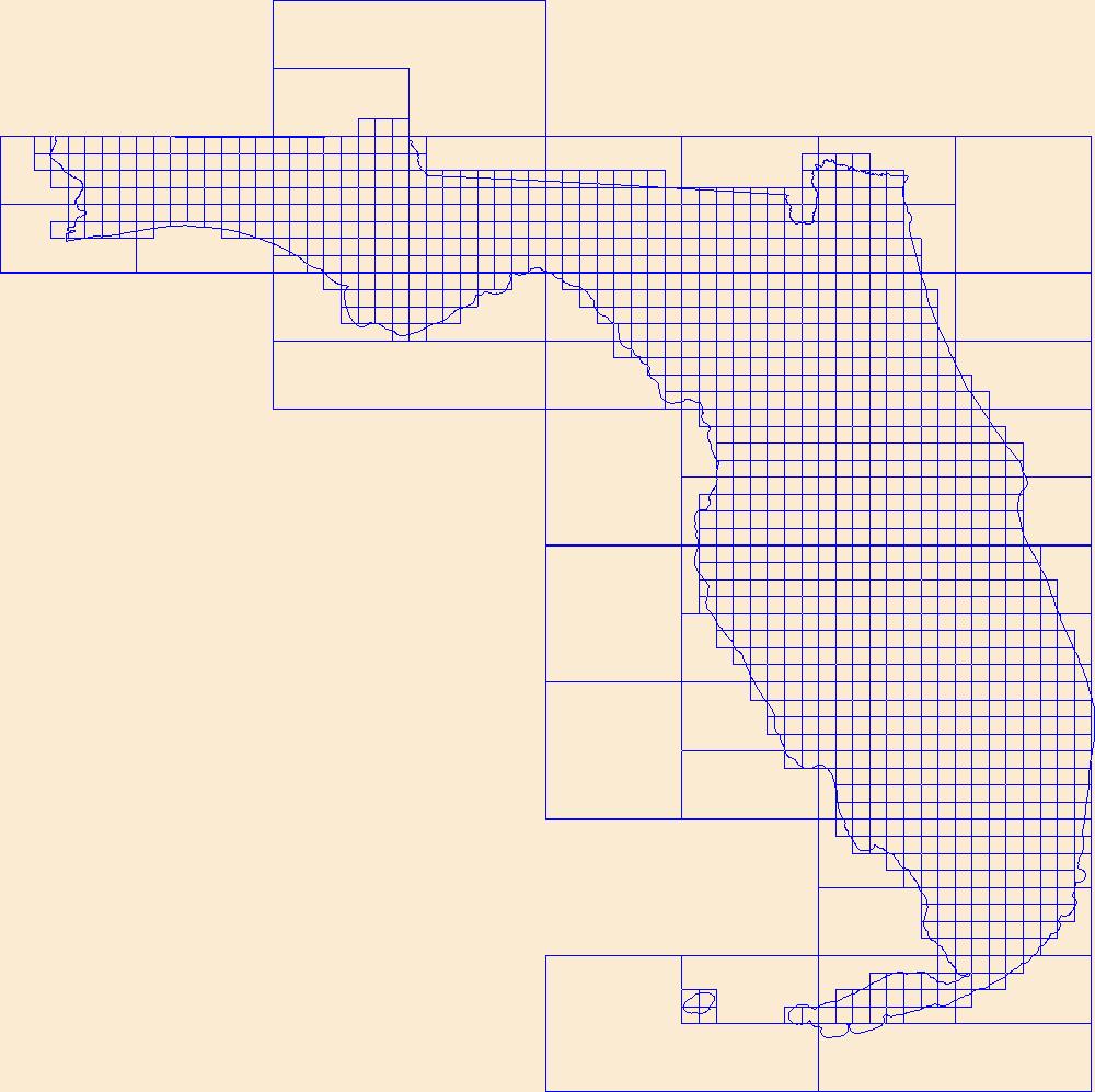
Types: Citation;
Tags: Alachua,
Baker,
Bay,
Boundaries,
Bradford, All tags...
Brevard,
Broward,
Calhoun,
Charlotte,
Citrus,
Clay,
Collier,
Columbia,
DeSoto,
Dixie,
Downloadable Data,
Duval,
Escambia,
Esri Shapefile nan,
FL,
Flagler,
Florida,
Franklin,
Gadsden,
Gilchrist,
Glades,
Gulf,
Hamilton,
Hardee,
Hendry,
Hernando,
Highlands,
Hillsborough,
Holmes,
Indian River,
Jackson,
Jefferson,
Lafayette,
Lake,
Lee,
Leon,
Levy,
Liberty,
Madison,
Manatee,
Map Indices,
Map Indices,
Map Indices,
Marion,
Martin,
Miami-Dade,
Monroe,
Nassau,
Okaloosa,
Okeechobee,
Orange,
Osceola,
Palm Beach,
Pasco,
Pinellas,
Polk,
Putnam,
Santa Rosa,
Sarasota,
Seminole,
Shapefile,
St. Johns,
St. Lucie,
State,
State,
Sumter,
Suwannee,
Taylor,
US,
Union,
United States,
United States of America,
Volusia,
Wakulla,
Walton,
Washington,
cells,
map indices,
polygon grid, Fewer tags
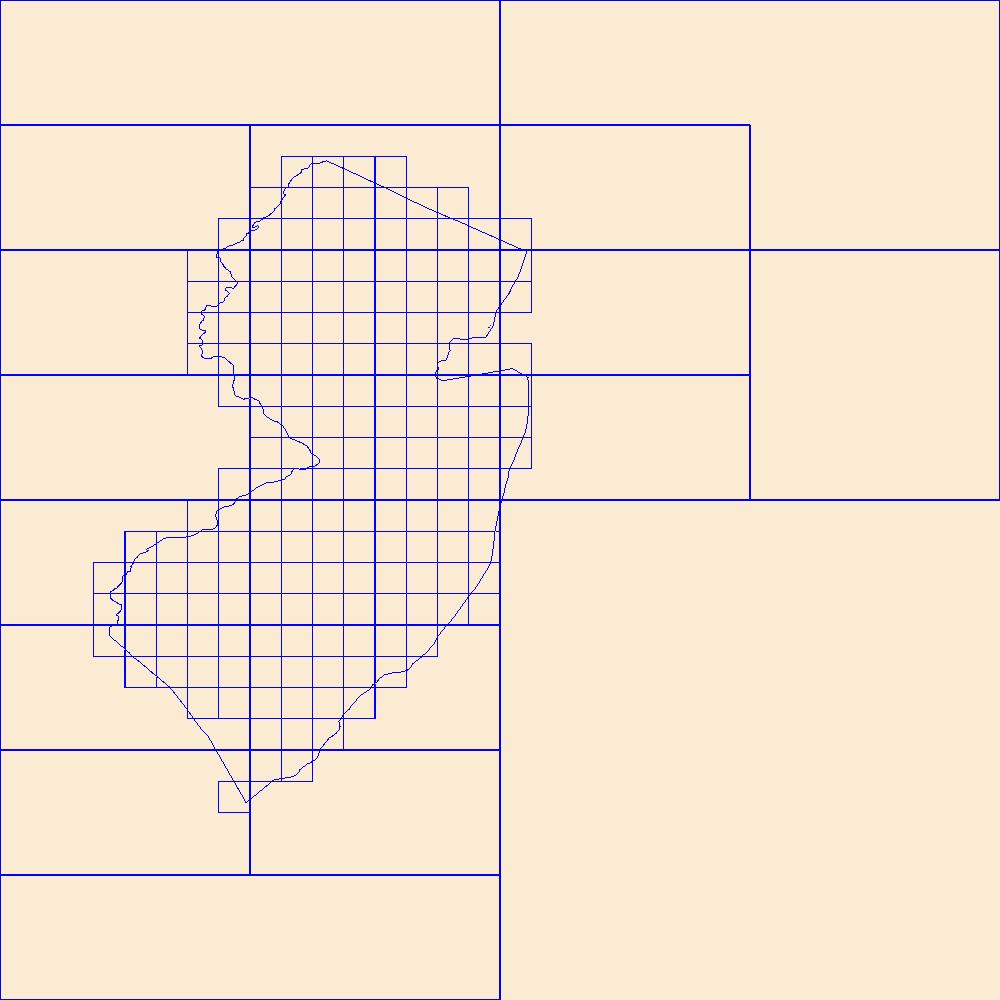
This data represents the map extent for current and historical USGS topographic maps for the United States and Territories, including 1 X 2 Degree, 1 X 1 Degree, 30 X 60 Minute, 15 X 15 Minute, 7.5 X 7.5 Minute, and 3.75 X 3.75 Minute. The grid was generated using ESRI ArcInfo GIS software.
Types: Citation;
Tags: Atlantic,
Bergen,
Boundaries,
Burlington,
Camden, All tags...
Cape May,
Cumberland,
Downloadable Data,
Esri Shapefile nan,
Essex,
Gloucester,
Hudson,
Hunterdon,
Map Indices,
Map Indices,
Map Indices,
Mercer,
Middlesex,
Monmouth,
Morris,
NJ,
New Jersey,
Ocean,
Passaic,
Salem,
Shapefile,
Somerset,
State,
State,
Sussex,
US,
Union,
United States,
United States of America,
Warren,
cells,
map indices,
polygon grid, Fewer tags

In 1998, the Florida Fish and Wildlife Conservation Commission's (FWC) Fisheries Independent Monitoring (FIM) program began a long-term monitoring effort of key reef fish populations in the Florida Keys National Marine Sanctuary. This effort was aimed at evaluating the relative abundance, size structure, and habitat utilization of specific reef fish species that are targeted by commercial and recreational fisheries.; Smith, S.G., et al. 2011, Multispecies survey design for assessing reef-fish stocks, spatially explicit management performance, and ecosystem condition. Fisheries Research 109(2011)25-41; Brandt, M.E., et. al. 2009, A Cooperative Multi-agency Reef Fish Monitoring Protocol for the Florida Keys Coral...
Categories: Data;
Types: NetCDF OPeNDAP Service;
Tags: Florida Keys National Marine Sanctuaries Reef Fish Monitoring,
array,
array-data,
basis,
basisOfRecord, All tags...
bibliographic,
bibliographiccitation,
body,
citation,
class,
code,
collection,
collectionCode,
comprehensive,
coordinate,
coordinateUncertaintyInMeters,
count,
country,
data,
data_set_ID,
data_set_name,
dataset,
datasetID,
datasetName,
date,
datum,
dep,
depth,
dynamic,
dynamicProperties,
event,
eventDate,
eventDateRemarks,
eventDateTimeZone,
eventdate,
eventdatetimezone,
family,
fish,
fish sampling,
florida,
florida keys,
genus,
geodetic,
geodeticDatum,
geoscientificInformation,
gulf of mexico,
habitat,
higher,
higherInstitutionCode,
identification,
identifier,
individual,
institution,
institutionCode,
keys,
kingdom,
large,
latitude,
length,
locality,
longitude,
marine,
material,
materialSampleID,
max,
maximum,
maximumDepthInMeters,
meters,
min,
minimum,
minimumDepthInMeters,
miniumDepthInMeters,
monitoring,
name,
national,
number,
observed,
observedIndividualLengthInCm,
observedMeanLengthInCm,
order,
owner,
ownerInstitutionCode,
phylum,
properties,
province,
quality,
quantificationMethod,
quantificationName,
quantificationStatus,
quantificationUnit,
quantificationValue,
rank,
record,
recorded,
recordedBy,
reef,
sample,
samples,
sanctuaries,
scientific,
scientificName,
sea,
seawater,
service,
set,
specificEpithet,
state,
stateProvince,
statistics,
status,
stewardship,
system,
taxon,
taxonRank,
taxonomy,
time,
timeUncertainty,
timeseries,
timeuncertainty,
type,
typeStatus,
uncertainty,
vernacular,
vernacularName,
verticalDatum,
water,
waterBody,
waterbody,
zone, Fewer tags

The Geographic Names Information System (GNIS) is the Federal standard for geographic nomenclature. The U.S. Geological Survey developed the GNIS for the U.S. Board on Geographic Names, a Federal inter-agency body chartered by public law to maintain uniform feature name usage throughout the Government and to promulgate standard names to the public. The GNIS is the official repository of domestic geographic names data; the official vehicle for geographic names use by all departments of the Federal Government; and the source for applying geographic names to Federal electronic and printed products of all types. See http://geonames.usgs.gov for additional information.
Types: Citation;
Tags: Antarctica,
Borough,
Census Area,
Commonwealth,
County, All tags...
District,
Downloadable Data,
Feature class,
Feature coordinates,
Feature county,
Feature description,
Feature designation,
Feature history,
Feature identification,
Feature name,
Feature state,
Geographic Names,
Geographic feature,
Geographic name,
Geographical feature,
Geographical name,
Legacy GNIS,
Municipio,
National Geographic Names Information System (GNIS),
Official feature name,
Outlying Area,
Parish,
Place name,
Populated Place,
State,
State,
TXT (pipes),
Territory,
Topographic Map,
United States,
Variant name,
economy,
environment,
imageryBaseMapsEarthCover,
inlandWaters,
location,
society,
structure,
transportation,
utilitiesCommunication, Fewer tags
|
|

