Filters: Tags: Streamflow (X) > Types: Citation (X)
92 results (12ms)|
Filters
Date Range
Extensions Types
Contacts
Categories Tag Types
|
Our objective was to model specific mean daily flow (mean daily flow divided by drainage area [cubic feet per second per square mile]) on small, ungaged streams in the Upper Colorado River Basin. Modeling streamflows is an important tool for understanding landscape-scale drivers of flow and estimating flows where there are no gaged records. We focused our study in the Upper Colorado River Basin, a region that is not only critical for water resources but also projected to experience large future climate shifts toward a drier climate.We used a random forest modeling approach to model the relation between specific mean daily flow on gaged streams (115 gages) and environmental variables. We then projected specific mean...
Types: Citation;
Tags: Random forests,
Streamflow,
Streamflow modeling,
Ungaged streams,
Upper Colorado River Basin,
Our objective was to model specific minimum flow (mean of the annual minimum flows divided by drainage area [cubic feet per second per square mile]) on small, ungaged streams in the Upper Colorado River Basin. Modeling streamflows is an important tool for understanding landscape-scale drivers of flow and estimating flows where there are no gaged records. We focused our study in the Upper Colorado River Basin, a region that is not only critical for water resources but also projected to experience large future climate shifts toward a drier climate. We used a random forest modeling approach to model the relation between specific minimum flow on gaged streams (115 gages) and environmental variables. We then projected...
Types: Citation;
Tags: Random forests,
Streamflow,
Streamflow modeling,
Ungaged streams,
Upper Colorado River Basin,
Estimated provisional streamflow values (Messinger and Burgholzer, 2017) for streamgages in James River Basin and the shifted, expanded ratings that were used to develop them are included in this dataset. This file contains source data, daily streamflow records and selected ratings that had been saved in the National Water Information Service database for water years 1991-2013. Microsoft Excel formulas that were used to compute the estimated provisional streamflow (AltFlow) tables are included, and may be used to extend the AltFlow record following the procedure described by Messinger and Burgholzer (2017), in Appendix 2. This release also contains the existing AltFlow record for the same streamgages in comma-separated...
Categories: Data;
Types: Citation;
Tags: James River Basin,
Rating stability,
Stage-discharge relationship,
Streamflow,
Streamflow uncertainty,
The Precipitation-Runoff Modeling System (PRMS) was used to produce simulations of streamflow for seven watersheds in eastern and central Montana for a baseline period (water years 1982-1999) and three future periods (water years 2021-2038, 2046-2063, and 2071-2038). The seven areas that were modeled are the O'Fallon, Redwater, Little Dry, Middle Musselshell, Judith, Cottonwood Creek, and Belt watersheds. These data document the sources, values and ranges of selected input parameters used for PRMS simulations of streamflow for the O'Fallon, Redwater, Little Dry, Middle Musselshell, Judith, Cottonwood Creek, and Belt watersheds in eastern and central Montana. This appendix is provided as part of the supplementary...
Categories: Data;
Types: Citation;
Tags: Great Plains,
Montana,
climate change,
effects of climate change,
fish,
An investigation was completed by the U.S. Geological Survey in cooperation with the Indiana Office of Community and Rural Affairs that found 1,132 transportation and utility assets in Indiana are vulnerable to fluvial erosion hazards due to close proximity to actively migrating streams. Locations of transportation assets (bridges, roadways, and railroad lines) and selected utility assets (high-capacity overhead power-transmission lines, underground pipelines, water treatment facilities, and in-channel dams) were determined using aerial imagery hosted by the Google Earth platform. Identified assets were aggregated by stream reach, county, and class. The contents of this data release include (1) a comma-delimited...
Categories: Data;
Types: Citation,
Map Service,
OGC WFS Layer,
OGC WMS Layer,
OGC WMS Service;
Tags: Adams County,
Allen County,
Bartholomew County,
Benton County,
Blackford County,
Our objective was to model 7-day minimum flow (mean of the annual minimums of a 7-day moving average for each year [cubic feet per second]) on small, ungaged streams in the Upper Colorado River Basin. Modeling streamflows is an important tool for understanding landscape-scale drivers of flow and estimating flows where there are no gaged records. We focused our study in the Upper Colorado River Basin, a region that is not only critical for water resources but also projected to experience large future climate shifts toward a drier climate. We used a random forest modeling approach to model the relation between 7-day minimum flow on gaged streams (115 gages) and environmental variables. We then projected 7-day minimum...
Types: Citation;
Tags: Random forests,
Streamflow,
Streamflow modeling,
Ungaged streams,
Upper Colorado River Basin,
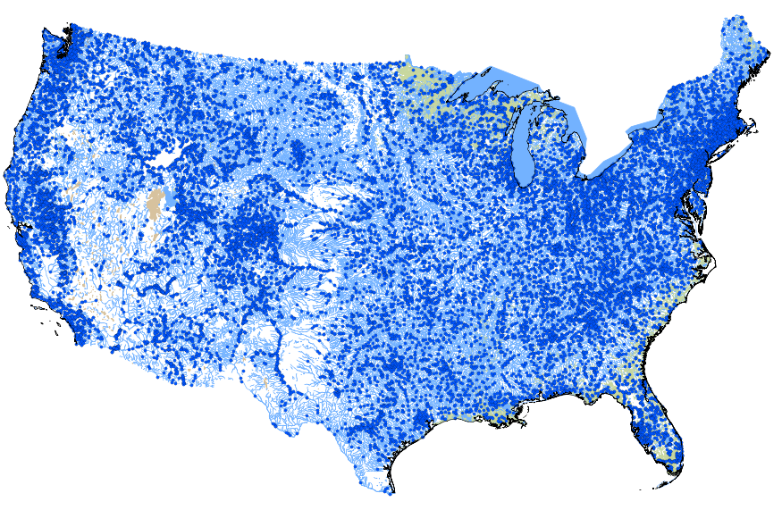
This geodatabase contains streams, waterbodies and wetlands, streamflow gaging stations, and coastlines for the conterminous United States. The streams are incorporated into a geometric network. All feature classes are vertically integrated with each other and with 1:1,000,000-scale transportation and boundary data sets.
This metadata record describes monthly input and output data covering the period 1900-2015 for a water-balance model described in McCabe and Wolock (2011). The input datasets are precipitation (PPT) and air temperature (TAV) from the PRISM group at Oregon State University. The model outputs include estimated potential evapotranspiration (PET), actual evapotranspiration (AET), runoff (RUN) (streamflow per unit area), soil moisture storage (STO), and snowfall (SNO). The datasets are arranged in tables of monthly total or average values measured in millimeters or degrees C and then multiplied by 100. The data are indexed by the identifier PRISMID, which refers to an ASCII raster of cells in an associated file named...
Types: Citation;
Tags: Conterminous United States,
evaporation,
precipitation,
streamflow,
temperature
This data set archives all inputs, outputs and scripts needed to reproduce the findings of W.H. Farmer and R.M. Vogel in the 2016 Water Resources Research article entitled "On the Deterministic and Stochastic Use of Hydrologic Model". Input data includes observed streamflow values, in cubic feet per second, for 1225 streamgages over the period from 01 October 1980 through 30 September 2011. Estiamted streamflows, for the same streamgages and periods, is provided from a general calibration of the Precipitation Runoff Modeling System. Output data includes the same with alternate realizations of streamflow generated following the descriptions in the associated report. These results can be regenerated by using the included...
Categories: Data;
Types: Citation;
Tags: Groundwater and Streamflow Information Program,
USGS Science Data Catalog (SDC),
United States,
Water Resources,
hydrology,
This U.S. Geological Survey (USGS) data release contains the code, data, executables, and other information necessary to run the application Unit Flows in Networks of Channels (UFINCH). The UFINCH application is a computer code that utilizes the geospatial stream connectivity and catchment geometry described in National Hydrography Dataset Plus value added attributes (NHDPlus Version 2) to simulate unit (15-minute) flows in networks of channels, generally by use of daily flows at the most downstream stream segment in a basin at which a USGS streamgage is located. Preliminary testing indicates that UFINCH may be most applicable for simulating unregulated, non-estuarial, flows in basins as large as 3,000 square miles...
An investigation was completed by the U.S. Geological Survey in cooperation with the Indiana Office of Community and Rural Affairs that found 1,132 transportation and utility assets in Indiana are vulnerable to fluvial erosion hazards due to close proximity to actively migrating streams. Locations of transportation assets (bridges, roadways, and railroad lines) and selected utility assets (high-capacity overhead power-transmission lines, underground pipelines, water treatment facilities, and in-channel dams) were determined using aerial imagery hosted by the Google Earth platform. Identified assets were aggregated by stream reach, county, and class. The contents of this data release include (1) a comma-delimited...
This data release includes transect data comprising velocity and depths collected by use of an acoustic-doppler current profiler (ADCP), and vertical profile data comprising conductivity, temperature, and depth by use of a conductivity, temperature, and depth (CTD) instrument, as well as tide elevation data at specified locations in the lower Penobscot River and Penobscot Bay (the Penobscot River Estuary).
Types: Citation;
Tags: Maine,
Penobscot River,
USGS Science Data Catalog (SDC),
Water Resources,
estuarine currents,
A table is presented listing: (1) monthly streamflows, (2) drought duration dates, (3) drought severity indices, (4) supporting statistics, and (5) identification tags, for analysis of hydrological droughts in the Conterminous United States (CONUS). Data were summarized from USGS streamflow daily values (DV), readily available from the U.S. Geological Survey National Water Information System (NWIS), for USGS gage stations used in SIR 2017-5099 Variability of Hydrological Droughts in the Conterminous United States, 1951 through 2014 by Samuel H. Austin, David M. Wolock, and David L. Nelms. https://doi. org/10.3133/sir20175099
Types: Citation;
Tags: CONUS,
USGS Science Data Catalog (SDC),
Water Resources,
decision support methods,
droughts,
Our objective was to model frequency of low-pulse events on small, ungaged streams in the Upper Colorado River Basin. Modeling streamflows is an important tool for understanding landscape-scale drivers of flow and estimating flows where there are no gaged records. We focused our study in the Upper Colorado River Basin, a region that is not only critical for water resources but also projected to experience large future climate shifts toward a drier climate. We used a random forest modeling approach to model the relation between frequency of low-pulse events on gaged streams (115 gages) and environmental variables. We then projected frequency of low-pulse events to ungaged reaches in the Upper Colorado River Basin...
Types: Citation;
Tags: Random forests,
Streamflow,
Streamflow modeling,
Ungaged streams,
Upper Colorado River Basin,
Observed changes in the timing of snowmelt dominated streamflow in the western United States are often linked to anthropogenic or other external causes. We assess whether observed streamflow timing changes can be statistically attributed to external forcing, or whether they still lie within the bounds of natural (internal) variability for four large Sierra Nevada (CA) basins, at inflow points to major reservoirs. Streamflow timing is measured by “center timing” (CT), the day when half the annual flow has passed a given point. We use a physically based hydrology model driven by meteorological input from a global climate model to quantify the natural variability in CT trends. Estimated 50-year trends in CT due to...
Fish in Northern Great Plains streams evolved to survive heat, cold, floods and drought; however changes in streamflow associated with long-term climate change may render some prairie streams uninhabitable for current fish species. To better understand future hydrology of these prairie streams, the Precipitation-Runoff Modeling System (PRMS) model and output from the RegCM3 Regional Climate model were used to simulate streamflows for seven watersheds in eastern and central Montana, for a baseline period (water years 1982 - 1999) and three future periods: water years 2021 -2038, 2046 - 2063, and 2071 - 2088. These PRMS model input and output data are intended to accompany a journal article (Chase et al., 2016); they...
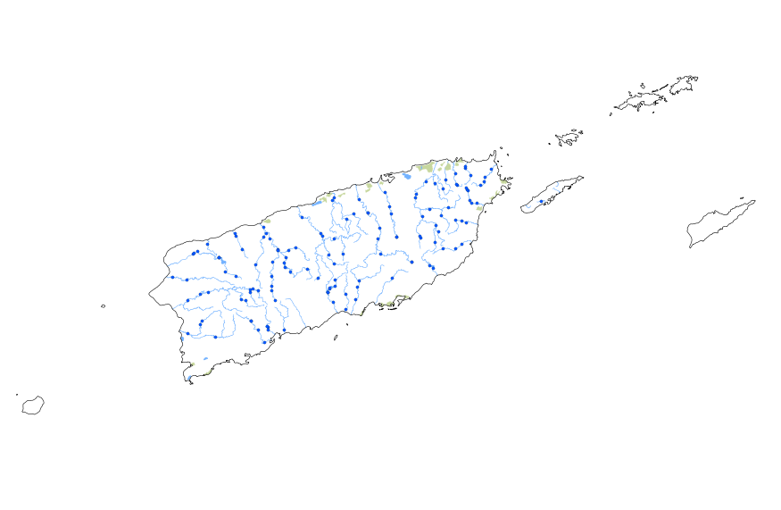
This geodatabase contains streams, waterbodies and wetlands, streamflow gaging stations, and coastlines for Puerto Rico and the U.S. Virgin Islands. The streams are incorporated into a geometric network. All feature classes are vertically integrated with each other and with 1:1,000,000-scale transportation and boundary data sets.
7Q10 records and basin characteristics for 224 basins in South Carolina, Georgia, and Alabama (2015)
This data release provides the data and R scripts used for the 2018 publication titled "Improving predictions of hydrological low-flow indices in ungaged basins using machine learning", Environmental Modeling and Software, https://doi.org/10.1016/j.envsoft.2017.12.021.. There are two .csv files and 14 R-scripts included below. The lowflow_sc_ga_al_gagesII_2015.csv datafile contains the annual minimum seven-day mean streamflow with an annual exceedance probability of 90% (7Q10) for 224 basins in South Carolina, Georgia, and Alabama. The datafile also contains 231 basin characteristics from the Gages II dataset (https://water.usgs.gov/lookup/getspatial?gagesII_Sept2011). The "all_preds.csv" file contains the leave-one-out...
Categories: Data;
Types: Citation,
Map Service,
OGC WFS Layer,
OGC WMS Layer,
OGC WMS Service;
Tags: Alabama,
Georgia,
Hydrogeology,
South Carolina,
USGS Science Data Catalog (SDC),
Pacific and Atlantic Ocean sea surface temperatures (SSTs) were used as predictors in a long lead-time streamflow forecast model in which the partial least squares regression (PLSR) technique was used with over 600 unimpaired streamflow stations in the continental United States. Initially, PLSR calibration (or test) models were developed for each station, using the previous spring-summer Pacific (or Atlantic) Ocean SSTs as predictors. Regions were identified in the Pacific Northwest, Upper Colorado River Basin, Midwest, and Atlantic states in which Pacific Ocean SSTs resulted in skillful forecasts. Atlantic Ocean SSTs resulted in significant regions being identified in the Pacific Northwest, Midwest, and Atlantic...
Categories: Publication;
Types: Citation,
Journal Citation;
Tags: Journal of Hydrologic Engineering,
forecasting,
least squares method,
ocean water,
streamflow,
This paper considers the risk of drought and develops drought scenarios for use in the study of severe sustained drought in the Southwestern United States. The focus is on the Colorado River Basin and regions to which Colorado River water is exported, especially southern California, which depends on water from the Colorado River. Drought scenarios are developed using estimates of unimpaired historic streamflow as well as reconstructions of streamflow based on tree ring widths. Drought scenarios in the Colorado River Basin are defined on the basis of annual flow at Lees Ferry. The risk, in terms of return period, of the drought scenarios developed, is assessed using stochastic models. Published in Journal of the...
Categories: Publication;
Types: Citation,
Journal Citation;
Tags: Colorado River,
Journal of the American Water Resources Association,
drought,
hydrology,
streamflow,
|

|
