Filters: Tags: Streamflow (X)
1,086 results (7ms)|
Filters
|
Synopsis: This study analyzed the effects of vegetation change on hydrological fluctuations in the Columbia River basin over the last century using two land cover scenarios. The first scenario was a reconstruction of historical land cover vegetation, c. 1900. The second scenario was more recent land cover as estimated from remote sensing data for 1990. The results show that, hydrologically, the most important vegetation-related change has been a general tendency towards decreased vegetation maturity in the forested areas of the basin. This general trend represents a balance between the effects of logging and fire suppression. In those areas where forest maturity has been reduced as a result of logging, wintertime...
Categories: Publication;
Types: Citation,
Map Service,
OGC WFS Layer,
OGC WMS Layer,
OGC WMS Service;
Tags: British Columbia,
Idaho,
Land use configuration,
Montana,
Natural cover amount,

The High Resolution National Hydrography Dataset Plus (NHDPlus HR) is an integrated set of geospatial data layers, including the National Hydrography Dataset (NHD), National Watershed Boundary Dataset (WBD), and 3D Elevation Program Digital Elevation Model (3DEP DEM). The NHDPlus HR combines the NHD, 3DEP DEMs, and WBD to a data suite that includes the NHD stream network with linear referencing functionality, the WBD hydrologic units, elevation-derived catchment areas for each stream segment, "value added attributes" (VAAs), and other features that enhance hydrologic data analysis and routing.
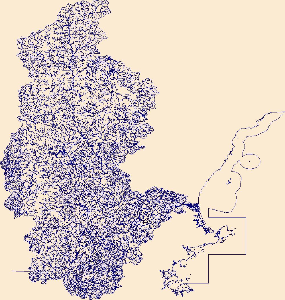
The High Resolution National Hydrography Dataset Plus (NHDPlus HR) is an integrated set of geospatial data layers, including the best available National Hydrography Dataset (NHD), the 10-meter 3D Elevation Program Digital Elevation Model (3DEP DEM), and the National Watershed Boundary Dataset (WBD). The NHDPlus HR combines the NHD, 3DEP DEMs, and WBD to create a stream network with linear referencing, feature naming, "value added attributes" (VAAs), elevation-derived catchments, and other features for hydrologic data analysis. The stream network with linear referencing is a system of data relationships applied to hydrographic systems so that one stream reach "flows" into another and "events" can be tied to and traced...
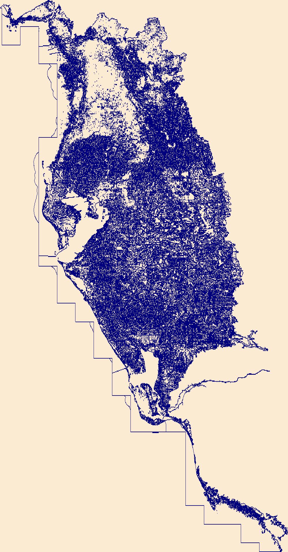
The High Resolution National Hydrography Dataset Plus (NHDPlus HR) is an integrated set of geospatial data layers, including the National Hydrography Dataset (NHD), National Watershed Boundary Dataset (WBD), and 3D Elevation Program Digital Elevation Model (3DEP DEM). The NHDPlus HR combines the NHD, 3DEP DEMs, and WBD to a data suite that includes the NHD stream network with linear referencing functionality, the WBD hydrologic units, elevation-derived catchment areas for each stream segment, "value added attributes" (VAAs), and other features that enhance hydrologic data analysis and routing.
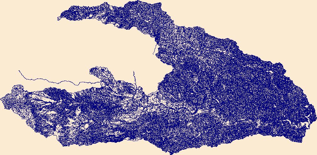
The High Resolution National Hydrography Dataset Plus (NHDPlus HR) is an integrated set of geospatial data layers, including the best available National Hydrography Dataset (NHD), the 10-meter 3D Elevation Program Digital Elevation Model (3DEP DEM), and the National Watershed Boundary Dataset (WBD). The NHDPlus HR combines the NHD, 3DEP DEMs, and WBD to create a stream network with linear referencing, feature naming, "value added attributes" (VAAs), elevation-derived catchments, and other features for hydrologic data analysis. The stream network with linear referencing is a system of data relationships applied to hydrographic systems so that one stream reach "flows" into another and "events" can be tied to and traced...
The High Resolution National Hydrography Dataset Plus (NHDPlus HR) is an integrated set of geospatial data layers, including the best available National Hydrography Dataset (NHD), the 10-meter 3D Elevation Program Digital Elevation Model (3DEP DEM), and the National Watershed Boundary Dataset (WBD). The NHDPlus HR combines the NHD, 3DEP DEMs, and WBD to create a stream network with linear referencing, feature naming, "value added attributes" (VAAs), elevation-derived catchments, and other features for hydrologic data analysis. The stream network with linear referencing is a system of data relationships applied to hydrographic systems so that one stream reach "flows" into another and "events" can be tied to and traced...
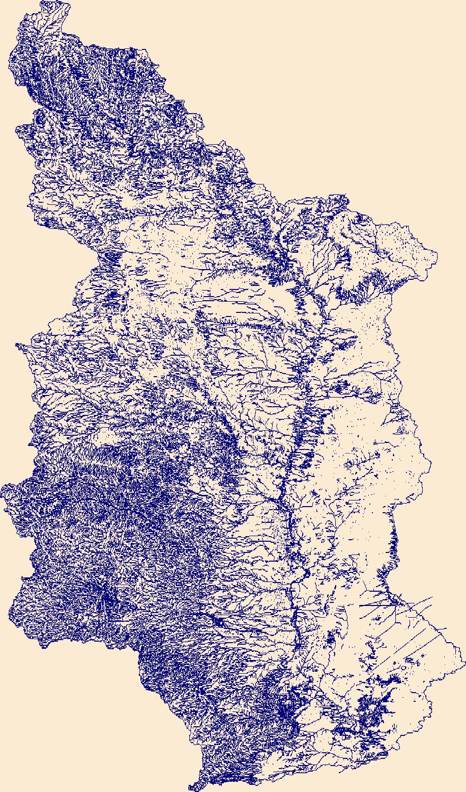
The High Resolution National Hydrography Dataset Plus (NHDPlus HR) is an integrated set of geospatial data layers, including the best available National Hydrography Dataset (NHD), the 10-meter 3D Elevation Program Digital Elevation Model (3DEP DEM), and the National Watershed Boundary Dataset (WBD). The NHDPlus HR combines the NHD, 3DEP DEMs, and WBD to create a stream network with linear referencing, feature naming, "value added attributes" (VAAs), elevation-derived catchments, and other features for hydrologic data analysis. The stream network with linear referencing is a system of data relationships applied to hydrographic systems so that one stream reach "flows" into another and "events" can be tied to and traced...
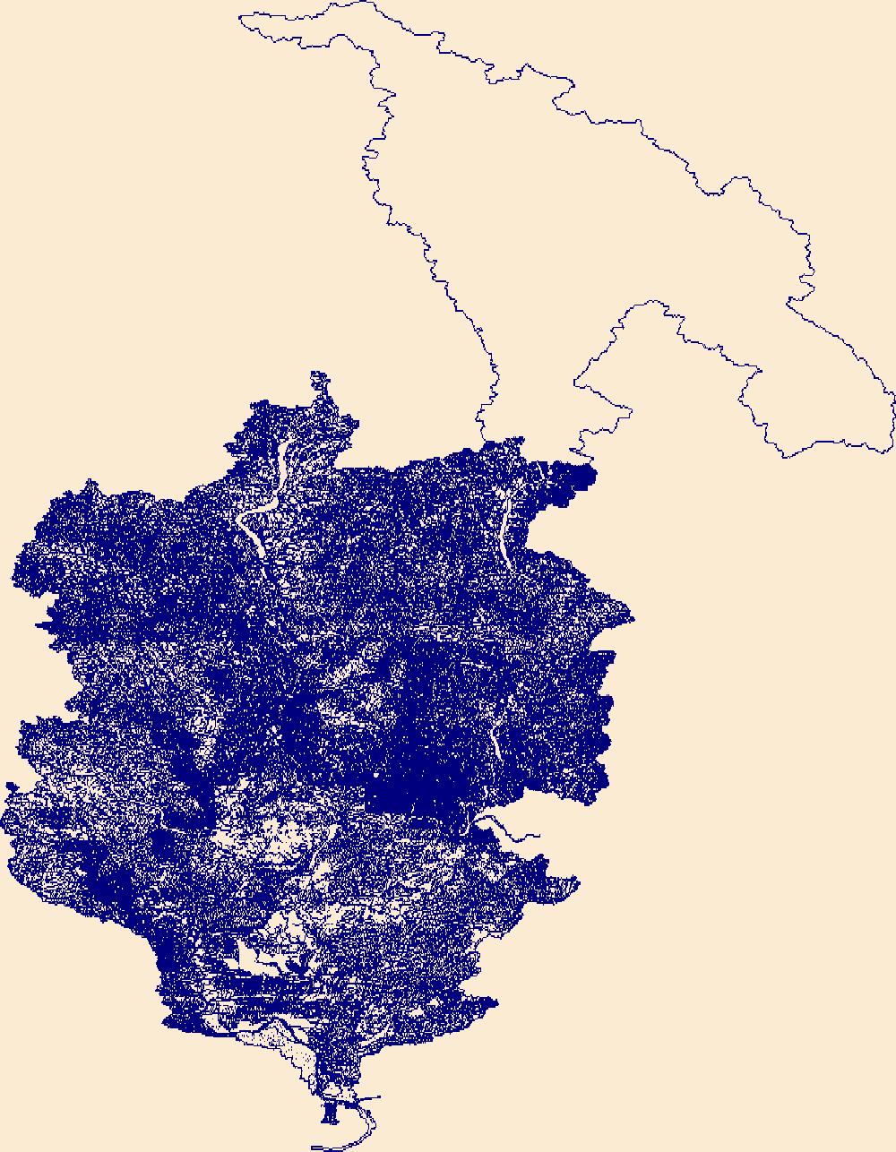
The High Resolution National Hydrography Dataset Plus (NHDPlus HR) is an integrated set of geospatial data layers, including the best available National Hydrography Dataset (NHD), the 10-meter 3D Elevation Program Digital Elevation Model (3DEP DEM), and the National Watershed Boundary Dataset (WBD). The NHDPlus HR combines the NHD, 3DEP DEMs, and WBD to create a stream network with linear referencing, feature naming, "value added attributes" (VAAs), elevation-derived catchments, and other features for hydrologic data analysis. The stream network with linear referencing is a system of data relationships applied to hydrographic systems so that one stream reach "flows" into another and "events" can be tied to and traced...

The High Resolution National Hydrography Dataset Plus (NHDPlus HR) is an integrated set of geospatial data layers, including the best available National Hydrography Dataset (NHD), the 10-meter 3D Elevation Program Digital Elevation Model (3DEP DEM), and the National Watershed Boundary Dataset (WBD). The NHDPlus HR combines the NHD, 3DEP DEMs, and WBD to create a stream network with linear referencing, feature naming, "value added attributes" (VAAs), elevation-derived catchments, and other features for hydrologic data analysis. The stream network with linear referencing is a system of data relationships applied to hydrographic systems so that one stream reach "flows" into another and "events" can be tied to and traced...
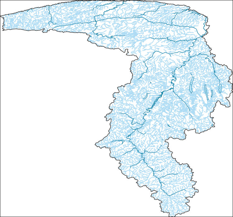
The High Resolution National Hydrography Dataset Plus (NHDPlus HR) is an integrated set of geospatial data layers, including the best available National Hydrography Dataset (NHD), the 10-meter 3D Elevation Program Digital Elevation Model (3DEP DEM), and the National Watershed Boundary Dataset (WBD). The NHDPlus HR combines the NHD, 3DEP DEMs, and WBD to create a stream network with linear referencing, feature naming, "value added attributes" (VAAs), elevation-derived catchments, and other features for hydrologic data analysis. The stream network with linear referencing is a system of data relationships applied to hydrographic systems so that one stream reach "flows" into another and "events" can be tied to and traced...
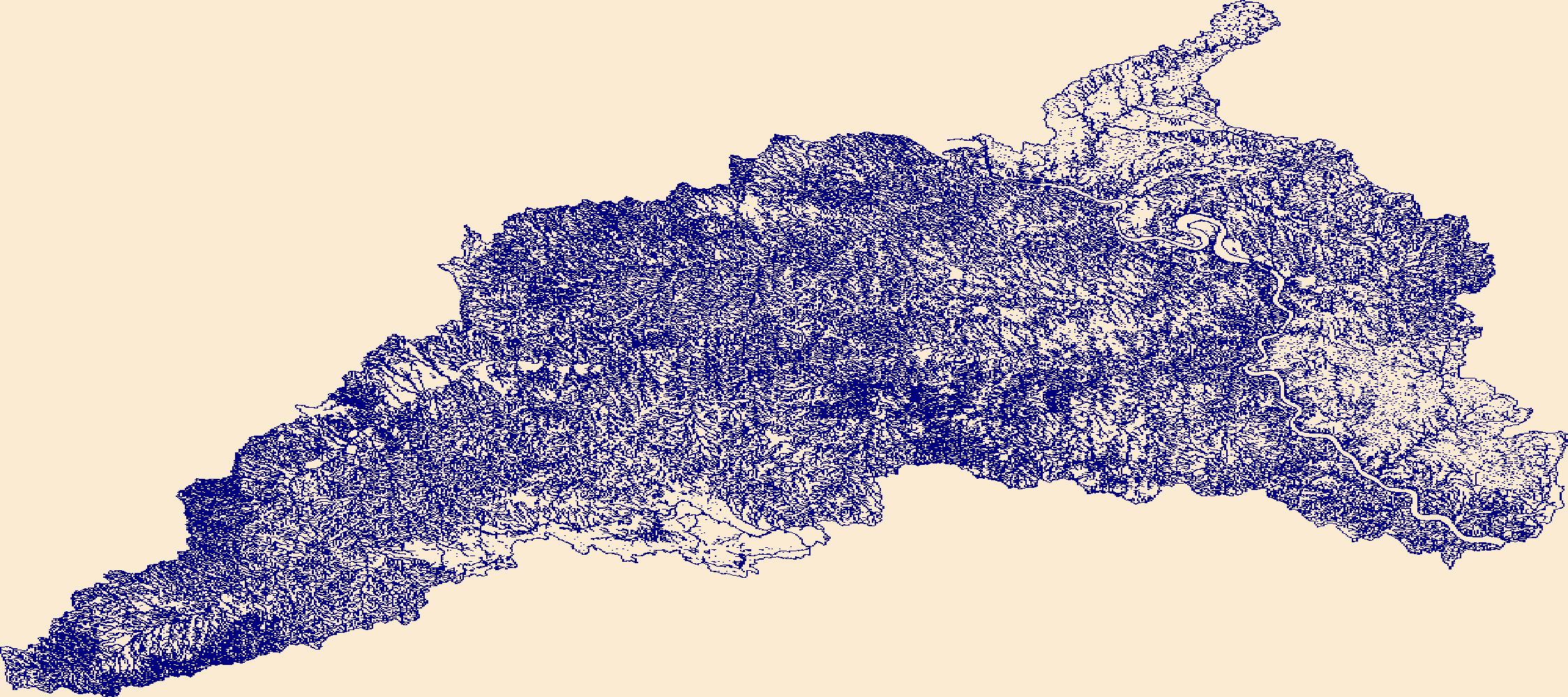
The High Resolution National Hydrography Dataset Plus (NHDPlus HR) is an integrated set of geospatial data layers, including the best available National Hydrography Dataset (NHD), the 10-meter 3D Elevation Program Digital Elevation Model (3DEP DEM), and the National Watershed Boundary Dataset (WBD). The NHDPlus HR combines the NHD, 3DEP DEMs, and WBD to create a stream network with linear referencing, feature naming, "value added attributes" (VAAs), elevation-derived catchments, and other features for hydrologic data analysis. The stream network with linear referencing is a system of data relationships applied to hydrographic systems so that one stream reach "flows" into another and "events" can be tied to and traced...

The High Resolution National Hydrography Dataset Plus (NHDPlus HR) is an integrated set of geospatial data layers, including the best available National Hydrography Dataset (NHD), the 10-meter 3D Elevation Program Digital Elevation Model (3DEP DEM), and the National Watershed Boundary Dataset (WBD). The NHDPlus HR combines the NHD, 3DEP DEMs, and WBD to create a stream network with linear referencing, feature naming, "value added attributes" (VAAs), elevation-derived catchments, and other features for hydrologic data analysis. The stream network with linear referencing is a system of data relationships applied to hydrographic systems so that one stream reach "flows" into another and "events" can be tied to and traced...

The High Resolution National Hydrography Dataset Plus (NHDPlus HR) is an integrated set of geospatial data layers, including the best available National Hydrography Dataset (NHD), the 10-meter 3D Elevation Program Digital Elevation Model (3DEP DEM), and the National Watershed Boundary Dataset (WBD). The NHDPlus HR combines the NHD, 3DEP DEMs, and WBD to create a stream network with linear referencing, feature naming, "value added attributes" (VAAs), elevation-derived catchments, and other features for hydrologic data analysis. The stream network with linear referencing is a system of data relationships applied to hydrographic systems so that one stream reach "flows" into another and "events" can be tied to and traced...

The High Resolution National Hydrography Dataset Plus (NHDPlus HR) is an integrated set of geospatial data layers, including the best available National Hydrography Dataset (NHD), the 10-meter 3D Elevation Program Digital Elevation Model (3DEP DEM), and the National Watershed Boundary Dataset (WBD). The NHDPlus HR combines the NHD, 3DEP DEMs, and WBD to create a stream network with linear referencing, feature naming, "value added attributes" (VAAs), elevation-derived catchments, and other features for hydrologic data analysis. The stream network with linear referencing is a system of data relationships applied to hydrographic systems so that one stream reach "flows" into another and "events" can be tied to and traced...
This point shapefile represents 38 terrestrial laser scanner (TLS) survey scan locations collected by single-base real-time kinematic (RTK) global navigation satellite system (GNSS) surveys in Grapevine Canyon near Scotty's Castle, Death Valley National Park, from July 12-14, 2016. Data were collected by two Topcon GR-3 GNSS receivers at one-second intervals for three minutes for each location.
This polygon shapefile represents estimated flood-inundation areas in Grapevine Canyon near Scotty's Castle, Death Valley National Park. Estimates of the 4, 2, 1, 0.5, and 0.2 percent annual exceedance probability (AEP) flood streamflows (previously known as the 25, 50, 100, 250, and 500-year floods) were computed from regional flood regression equations. The estimated flood streamflows were used with one-dimensional hydraulic models to compute water surface elevations that were mapped on a digital terrain model of the study area. Those locations where the water surface was higher than the land surface were defined as inundated. The inundation polygons are named by AEP flow (4, 2, 1, 0.5, 0.2-percent) and geometry...
This U.S. Geological Survey data release consists of a geospatial dataset containing information on estimated streamflow extent, stream velocity, and stream depth at Soldier Meadows Black Rock Desert - High Rock Canyon Emigrant Trails National Conservation Area, Nevada, and the data acquired and processed to support the estimation of those attributes. Supporting datasets include topographic survey data collected using a global navigation satellite system (GNSS) in Soldier Meadows from August 13-15, 2019, and an archive of the two-dimensional hydraulic model used to generate a polygon dataset for streamflow extent as well as raster datasets for stream velocity, and stream depth. The data release includes: 1) a polygon...
A digital elevation model represented by a triangulated irregular network (TIN) was developed for proposed channel restoration at Soldier Meadows, Black Rock Desert - High Rock Canyon Emigrant Trails National Conservation Area, Nevada. The TIN was derived from lidar (light imaging, detection, and ranging) of quality level 1 collected in April 2018 by Quantum Spatial (Quantum Spatial Inc, 2018) for the Bureau of Land Management. The DEM also includes points surveyed in August 13-16, 2019, using a real-time kinematic (RTK) global navigation satellite system (GNSS). The lidar data are not included in this USGS publication due to BLM data-release restrictions for this dataset. Contact Bureau of Land Management, Nevada,...
This point shapefile contains information on 476 locations surveyed using a single-base real-time kinematic (RTK) global navigation satellite system (GNSS) in Soldier Meadows, Black Rock Desert - High Rock Canyon Emigrant Trails National Conservation Area, Nevada, August 14-15, 2019. The points were collected at 30-second intervals at control points and hydraulic structures and 5-second intervals at topographic points throughout the study area. The points were used as vertical precision verification for lidar data, editing the triangulated irregular network in locations of dense vegetation and surface water, locating streamflow measurement sites, creating hydraulic structures in the hydraulic model, and determining...
Background / Problem – The City of Ithaca, Tompkins County, N.Y., is in the process of developing a flood management plan for the streams that flow through the City. Flooding in the City is caused by a variety of distinct and sometimes interconnected reasons. Flooding often is a result of snowmelt and rain during the winter and spring. Slow ice-melt and breakup can lead to ice jams and subsequent flooding. Flash floods are produced by summer thunderstorms. All of these flood types are compounded by two factors: the storm-sewer system in the City and the elevation of Cayuga Lake. The storm sewers drain to the nearby streams at points below the tops of the streambanks. Because the streamward ends of the storm sewers...
Categories: Data,
Project;
Types: Downloadable,
Map Service,
OGC WFS Layer,
OGC WMS Layer,
Shapefile;
Tags: Cascadilla Creek,
Cayuga Inlet,
Cooperative Water Program,
Fall Creek,
Flood Science,
|

|