Filters: Tags: Tamaulipas (X)
154 results (32ms)|
Filters
Date Range
Extensions Types
Contacts
Categories Tag Types
|
This project will result in development of an information management and delivery system to coordinate science communication platforms and to build a catalog inside of the USGS ScienceBase data and information management platform. The tasks maximize use of available products and services developed and tested by data experts working together through LCC's, Climate Science Centers, and the National Climate Change and Wildlife Science Center. In working with USGS Fort Collins (FORT) to complete the tasks, the Desert LCC will be responsible for providing input on specifications, data entry and maintenance of records in Science Base to populate the tools that comprise the information management and delivery system, and...
Categories: Data,
Project;
Types: Map Service,
OGC WFS Layer,
OGC WMS Layer,
OGC WMS Service;
Tags: 2014,
AZ-01,
AZ-02,
AZ-03,
AZ-04,
Riparian ecosystems are among the most productive and diverse ecosystems in desert biomes. In the Sonoran, Chihuahuan, and Mojave deserts of the United States and Mexico, riparian ecosystems support regional biodiversity and provide many ecosystem services to human communities. Due to the dynamic nature of these ecosystems and their abundance of resources, riparian areas have been modified in various ways and to a large extent through human endeavor to manage water and accommodate various land uses, particularly in lowland floodplains and stream channels. Modifications often interfere with multiple and complex ecological processes, resulting in the loss of native riparian vegetation and increasing vulnerability...
Categories: Data;
Types: Map Service,
OGC WFS Layer,
OGC WMS Layer,
OGC WMS Service;
Tags: 2013,
AZ-01,
AZ-02,
AZ-03,
AZ-04,
The National Hydrography Dataset (NHD) is a feature-based database that interconnects and uniquely identifies the stream segments or reaches that make up the nation's surface water drainage system. NHD data was originally developed at 1:100,000-scale and exists at that scale for the whole country. This high-resolution NHD, generally developed at 1:24,000/1:12,000 scale, adds detail to the original 1:100,000-scale NHD. (Data for Alaska, Puerto Rico and the Virgin Islands was developed at high-resolution, not 1:100,000 scale.) Local resolution NHD is being developed where partners and data exist. The NHD contains reach codes for networked features, flow direction, names, and centerline representations for areal water...
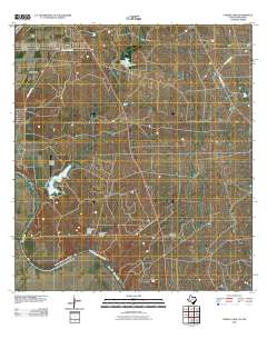
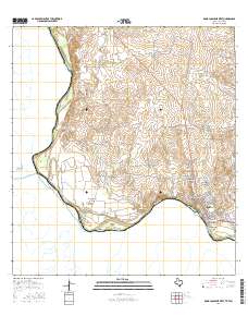
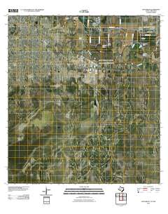
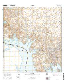
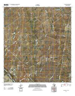
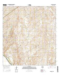
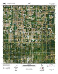
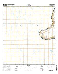
Layered GeoPDF 7.5 Minute Quadrangle Map. Layers of geospatial data include orthoimagery, roads, grids, geographic names, elevation contours, hydrography, and other selected map features.
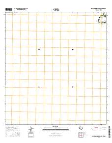
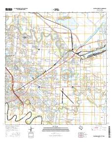
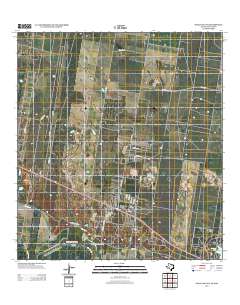
Layered GeoPDF 7.5 Minute Quadrangle Map. Layers of geospatial data include orthoimagery, roads, grids, geographic names, elevation contours, hydrography, and other selected map features.
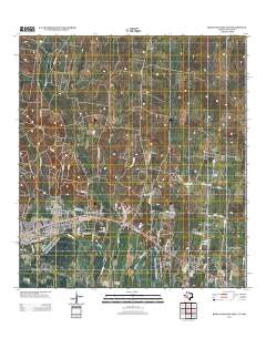
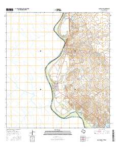
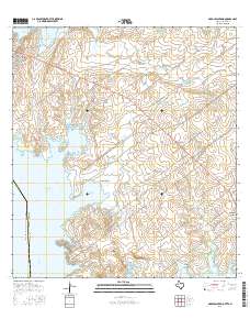
Layered GeoPDF 7.5 Minute Quadrangle Map. Layers of geospatial data include orthoimagery, roads, grids, geographic names, elevation contours, hydrography, and other selected map features.
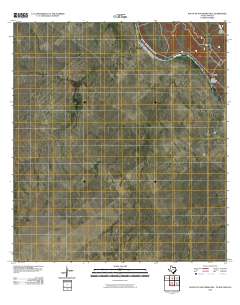
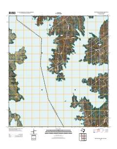
Layered GeoPDF 7.5 Minute Quadrangle Map. Layers of geospatial data include orthoimagery, roads, grids, geographic names, elevation contours, hydrography, and other selected map features.
Layered GeoPDF 7.5 Minute Quadrangle Map. Layers of geospatial data include orthoimagery, roads, grids, geographic names, elevation contours, hydrography, and other selected map features.
Layered GeoPDF 7.5 Minute Quadrangle Map. Layers of geospatial data include orthoimagery, roads, grids, geographic names, elevation contours, hydrography, and other selected map features.
Layered GeoPDF 7.5 Minute Quadrangle Map. Layers of geospatial data include orthoimagery, roads, grids, geographic names, elevation contours, hydrography, and other selected map features.
Layered GeoPDF 7.5 Minute Quadrangle Map. Layers of geospatial data include orthoimagery, roads, grids, geographic names, elevation contours, hydrography, and other selected map features.
Layered GeoPDF 7.5 Minute Quadrangle Map. Layers of geospatial data include orthoimagery, roads, grids, geographic names, elevation contours, hydrography, and other selected map features.
Pilot areas A and B produced in site selection process and analysis was centered on input criteria from DLCC stakeholders for the best representation of the desert land cover and priority habitats. The input from the DLCC stakeholders was compiled into a Weighted Matrix. The Weighted Matrix was ranked (with values assigned between 1 and 10) based on the level of importance held by the criteria and based on the datasets used for analysis.
Categories: Data;
Tags: Academics & scientific researchers,
Aquascalientes,
Arizona,
Baja California,
California,
Layered GeoPDF 7.5 Minute Quadrangle Map. Layers of geospatial data include orthoimagery, roads, grids, geographic names, elevation contours, hydrography, and other selected map features.
Layered GeoPDF 7.5 Minute Quadrangle Map. Layers of geospatial data include orthoimagery, roads, grids, geographic names, elevation contours, hydrography, and other selected map features.
Layered GeoPDF 7.5 Minute Quadrangle Map. Layers of geospatial data include orthoimagery, roads, grids, geographic names, elevation contours, hydrography, and other selected map features.
Layered GeoPDF 7.5 Minute Quadrangle Map. Layers of geospatial data include orthoimagery, roads, grids, geographic names, elevation contours, hydrography, and other selected map features.
Layered GeoPDF 7.5 Minute Quadrangle Map. Layers of geospatial data include orthoimagery, roads, grids, geographic names, elevation contours, hydrography, and other selected map features.
Layered GeoPDF 7.5 Minute Quadrangle Map. Layers of geospatial data include orthoimagery, roads, grids, geographic names, elevation contours, hydrography, and other selected map features.
Layered GeoPDF 7.5 Minute Quadrangle Map. Layers of geospatial data include orthoimagery, roads, grids, geographic names, elevation contours, hydrography, and other selected map features.
|

|
