Filters: Tags: Tulare County (X)
460 results (16ms)|
Filters
Date Range
Extensions Types
Contacts
Categories Tag Types
|
The U.S. Geological Survey collected groundwater samples from 95 domestic wells in Tulare and Kings Counties, California in 2014-2015. The wells were sampled for the Tulare Shallow Aquifer Study Unit of the California State Water Resources Control Board Groundwater Ambient Monitoring and Assessment (GAMA) Program Priority Basin Project’s assessment of the quality of groundwater resources used for domestic drinking water supply. Domestic wells commonly are screened at shallower depths than are public-supply wells. The Tulare Shallow Aquifer Study Unit includes the Kaweah, Tule, and Tulare Lake subbasins of the San Joaquin Valley groundwater basin and adjacent areas of the Sierra Nevada. The study unit was divided...
Categories: Data;
Tags: California,
Environment,
GAMA,
Groundwater,
Groundwater Ambient Monitoring and Assessment Program,
High concentrations of uranium were detected in samples from wells used for domestic drinking water supplies in the San Joaquin Valley. Of 163 domestic wells sampled by the California Groundwater Ambient Monitoring and Assessment Program Priority Basin Project (GAMA-PBP) and the National Water Quality Program (NWQP) in 2008-2015, 26 percent had uranium concentrations greater than the U.S. Environmental Protection Agency maximum contaminant level (EPA MCL) of 30 µg/L, with 13 percent of the wells having uranium concentration between 100 µg/L and 450 µg/L. To evaluate the potential anthropogenic and geologic causes of these anomalously high uranium concentrations, Rosen and others (2019) compiled water quality and...
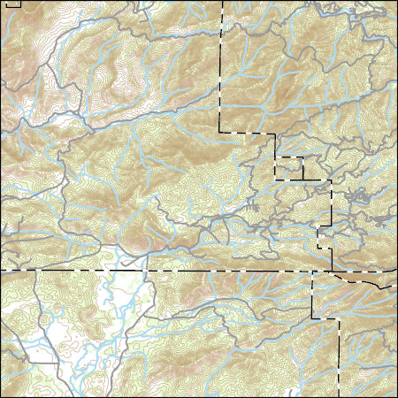
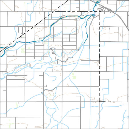
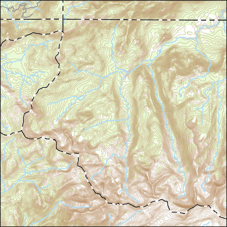
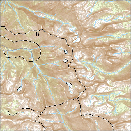
Layers of geospatial data include contours, boundaries, land cover, hydrography, roads, transportation, geographic names, structures, and other selected map features.
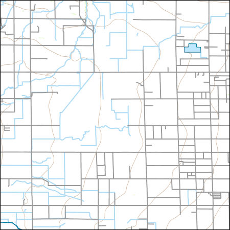
Layers of geospatial data include contours, boundaries, land cover, hydrography, roads, transportation, geographic names, structures, and other selected map features.
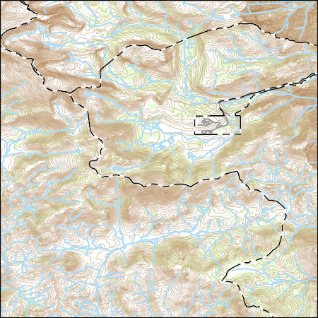
Layers of geospatial data include contours, boundaries, land cover, hydrography, roads, transportation, geographic names, structures, and other selected map features.
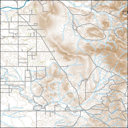
Layers of geospatial data include contours, boundaries, land cover, hydrography, roads, transportation, geographic names, structures, and other selected map features.
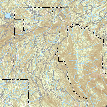
Layers of geospatial data include contours, boundaries, land cover, hydrography, roads, transportation, geographic names, structures, and other selected map features.
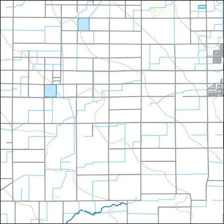
Layers of geospatial data include contours, boundaries, land cover, hydrography, roads, transportation, geographic names, structures, and other selected map features.
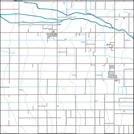
Layers of geospatial data include contours, boundaries, land cover, hydrography, roads, transportation, geographic names, structures, and other selected map features.
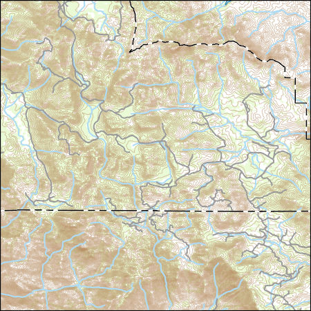
Layers of geospatial data include contours, boundaries, land cover, hydrography, roads, transportation, geographic names, structures, and other selected map features.
Layers of geospatial data include contours, boundaries, land cover, hydrography, roads, transportation, geographic names, structures, and other selected map features.
Layers of geospatial data include contours, boundaries, land cover, hydrography, roads, transportation, geographic names, structures, and other selected map features.
Layers of geospatial data include contours, boundaries, land cover, hydrography, roads, transportation, geographic names, structures, and other selected map features.

These data were released prior to the October 1, 2016 effective date for the USGS’s policy dictating the review, approval, and release of scientific data as referenced in USGS Survey Manual Chapter 502.8 Fundamental Science Practices: Review and Approval of Scientific Data for Release. This digital dataset contains the virtual wells used for urban (municipal and industrial use) pumpage for the Central Valley Hydrologic Model (CVHM). The Central Valley encompasses an approximate 50,000 square-kilometer region of California. The complex hydrologic system of the Central Valley is simulated using the U.S. Geological Survey (USGS) numerical modeling code MODFLOW-FMP (Schmid and others, 2006). This application is referred...
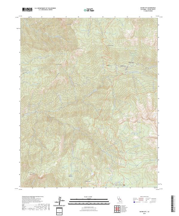
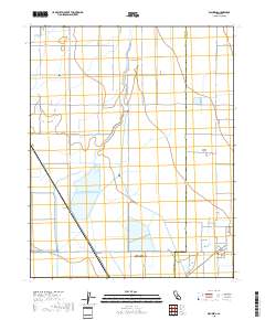
Layered geospatial PDF 7.5 Minute Quadrangle Map. Layers of geospatial data include orthoimagery, roads, grids, geographic names, elevation contours, hydrography, and other selected map features. This map is derived from GIS (geospatial information system) data. It represents a repackaging of GIS data in traditional map form, not creation of new information. The geospatial data in this map are from selected National Map data holdings and other government sources.
Success Dam spillway seismic refraction survey, Porterville, California, December 2018 and July 2019
Compressional- (P-) wave seismic refraction data were acquired in December 2018 and July 2019 along fourteen profiles within the spillway of Success Dam in Porterville, California. A new concrete ogee weir is planned for construction within the existing spillway, and the P-wave seismic velocity models will be used to inform further geotechnical investigations, including siting new geologic borings, and the advanced engineering design phases in terms of rock rippability and relative rock hardness/competency. Data acquisition, processing, and modeling were conducted collaboratively between the U.S. Geological Survey (USGS) and U.S. Army Corps of Engineers (USACE) Sacramento District. Data were acquired with Geometrics...
Categories: Data;
Types: Downloadable,
Map Service,
OGC WFS Layer,
OGC WMS Layer,
Shapefile;
Tags: California,
GGGSC,
Geology, Geophysics, and Geochemistry Science Center,
Geophysics,
Hydrology,
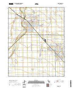
Layered geospatial PDF 7.5 Minute Quadrangle Map. Layers of geospatial data include orthoimagery, roads, grids, geographic names, elevation contours, hydrography, and other selected map features. This map is derived from GIS (geospatial information system) data. It represents a repackaging of GIS data in traditional map form, not creation of new information. The geospatial data in this map are from selected National Map data holdings and other government sources.
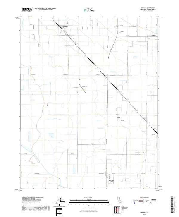
Layered geospatial PDF 7.5 Minute Quadrangle Map. Layers of geospatial data include orthoimagery, roads, grids, geographic names, elevation contours, hydrography, and other selected map features. This map is derived from GIS (geospatial information system) data. It represents a repackaging of GIS data in traditional map form, not creation of new information. The geospatial data in this map are from selected National Map data holdings and other government sources.
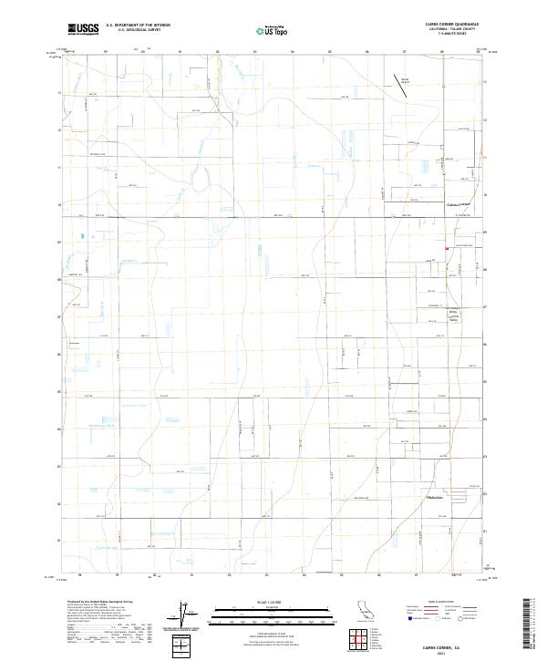
Layered geospatial PDF 7.5 Minute Quadrangle Map. Layers of geospatial data include orthoimagery, roads, grids, geographic names, elevation contours, hydrography, and other selected map features. This map is derived from GIS (geospatial information system) data. It represents a repackaging of GIS data in traditional map form, not creation of new information. The geospatial data in this map are from selected National Map data holdings and other government sources.
Layered geospatial PDF 7.5 Minute Quadrangle Map. Layers of geospatial data include orthoimagery, roads, grids, geographic names, elevation contours, hydrography, and other selected map features. This map is derived from GIS (geospatial information system) data. It represents a repackaging of GIS data in traditional map form, not creation of new information. The geospatial data in this map are from selected National Map data holdings and other government sources.
|

|
