Filters: Tags: Water (X)
979 results (17ms)|
Filters
Date Range
Extensions Types
Contacts
Categories
Tag Types
|
Observed water temperatures from 1980-2018 were compiled for 877 lakes in Minnesota (USA). There were four lakes included in this data release that did not have temperature observations available at the time of compilation or these data existed elsewhere and were unknown to the compilation team. These data were used as training, test, and error-estimation data for process-guided deep learning models and the evaluation of process-based models. The data are formatted as a single csv (comma separated values) file with attributes corresponding to the unique combination of lake identifier, time, and depth. Data came from a variety of sources, including the Water Quality Portal, the North Temperate Lakes Long-Term Ecological...
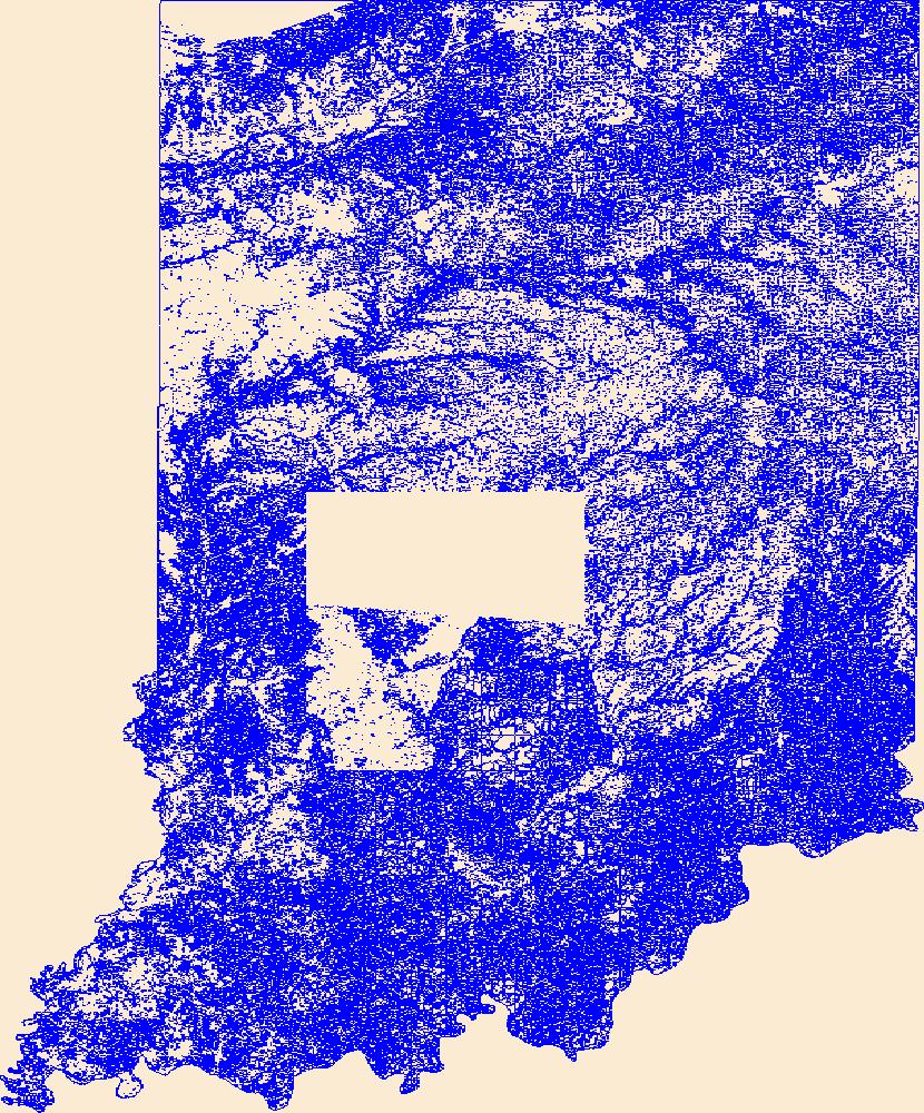
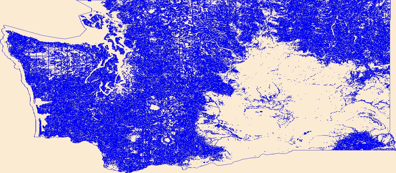
Geospatial data that is a derivative land cover product depicting woodland on topographic maps.
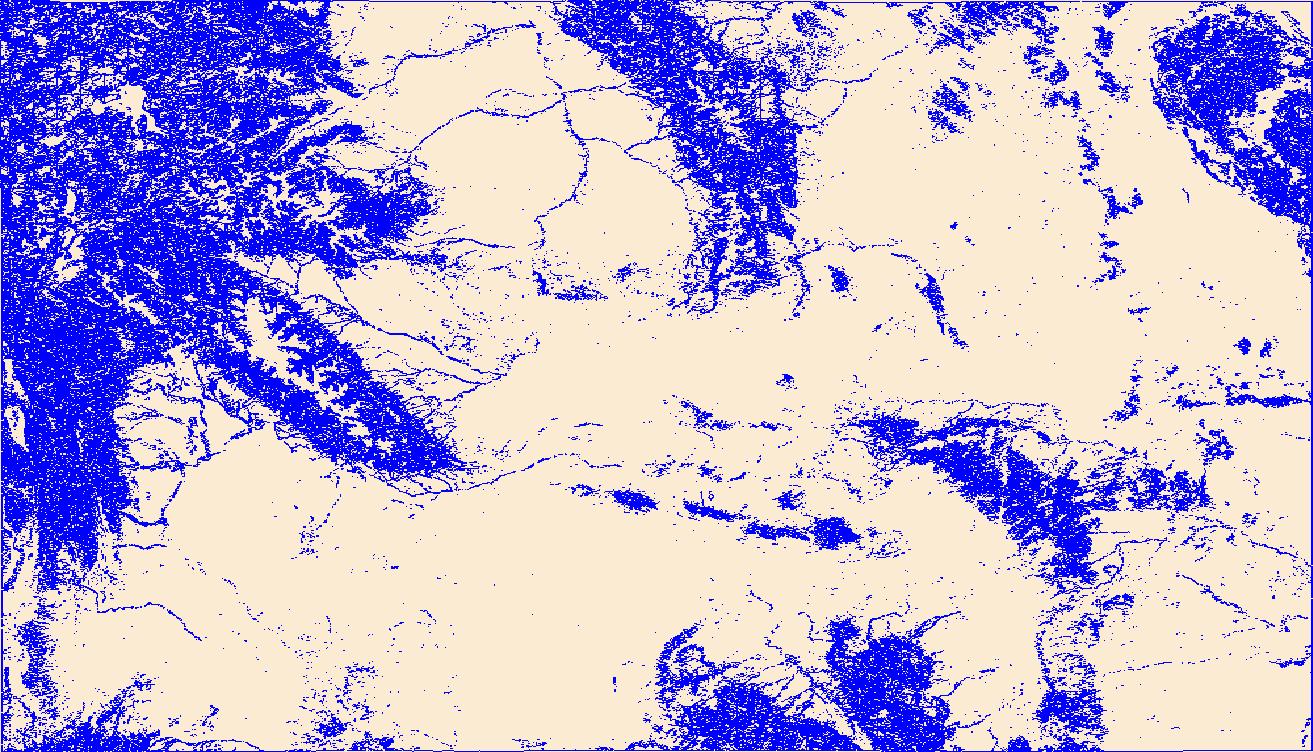
Geospatial data that is a derivative land cover product depicting woodland on topographic maps.
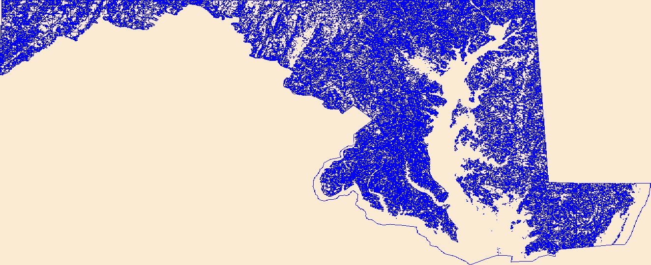
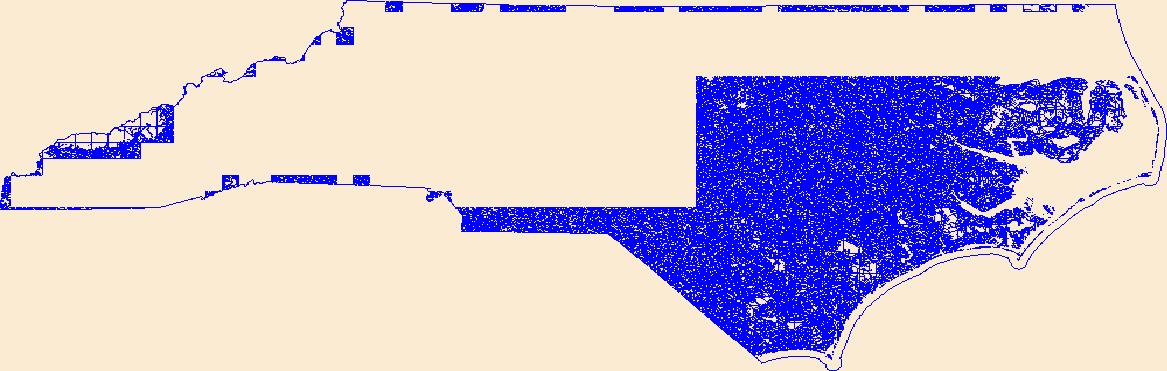
Geospatial data that is a derivative land cover product depicting woodland on topographic maps.
Geospatial data that is a derivative land cover product depicting woodland on topographic maps.
Geospatial data that is a derivative land cover product depicting woodland on topographic maps.
Two field experiments were performed to determine if reproductive allocation in 3- to 4-year-old Artemisia tridentata ssp. vaseyana (Rydb.) Beetle, mountain big sagebrush, was affected by spatial dispersion pattern and by small additions of water and/or nitrogen fertilizer In the spatial dispersion study, most measures of reproductive allocation were higher for plants growing singly compared to plants growing in clumps of four shrubs. Total achene biomass and the ratio of total reproductive biomass production/vegetative biomass production (a measure of reproductive effort) for 1984 were much higher for plants growing in a regular pattern In the water and nitrogen fertilizer study, addition of water and fertilizer...
Categories: Publication;
Types: Citation,
Journal Citation;
Tags: Artemisia tridentata spp. vaseyana,
Bulletin of the Torrey Botanical Club,
dispersion pattern,
mountain big sagebrush,
nitrogen,
Why did nuclear energy policies in France, Sweden, and the United States, very similar at the time of the oil crisis of 1973 and 1974, diverge so greatly in the following years? In answering this question, James Jasper challenges one of the most popular trends in political analysis: explanations relying exclusively on political and economic structures to account for public policies. Jasper proposes a new cultural and state-centered approach--one heeding not only structural factors but cultural meanings, individual biographies, and elite discretion. Surveying the period from the successful commercialization of light-water-reactor technology in the early 1960s to the present, he explains the events that occurred after...
This paper investigates the potential for systematic errors in the Energy Information Administration’s (EIA) widely used Annual Energy Outlook, focusing on the near- to midterm projections of energy demand. Based on analysis of the EIA’s 22-year projection record, we find a fairly modest but persistent tendency to underestimate total energy demand by an average of 2 percent per year after controlling for projection errors in gross domestic product, oil prices, and heating/cooling degree days. For 14 individual fuels/consuming sectors routinely reported by the EIA, we observe a great deal of directional consistency in the errors over time, ranging up to 7 percent per year. Electric utility renewables, electric utility...
Categories: Publication;
Types: Citation;
Tags: Powder River Basin,
coalbed natural gas,
communities,
deposits,
natural gas,
As electricity demand increases, policymakers must make decisions about which energy resources will meet future demands. Much of the recent literature has focused on the contribution of new coal power plants to carbon emissions (Milford et al., 2005; Milford et al., 2007; MIT 2007). However, policymakers and industry are increasingly interested in job creation and economic development analyses to understand the full impacts of new electricity generation projects.1 Additionally, economic development impacts are often a critical piece in building public support for wind power projects. The purpose of this research is to look at the specific factors that drive wind-power-related economic development and to better understand...
It is now widely recognized that effective communication and demand-side policies for alternative energy require sound knowledge of preferences and determinants of demand of the public and consumers. To date, public attitudes towards new transport technologies have been studied under very different conceptual frameworks. This paper gives an overview of the various conceptual frameworks and methodologies used, where four main approaches can be distinguished: general attitudinal surveys, risk perception studies, non-market economic valuation studies, and other approaches such as those based on semiotic theory. We then review the findings of the recent literature on acceptance, attitudes and preferences for hydrogen...
Electric power transmission lines have recently met a very significant amount of public opposition. The source of such opposition varies from case to case, and is often hard to identify. Stated objections have included land use conflicts, noise created by the lines, aesthetic concerns, and fears of health and safety threats. Despite the sometimes enormous costs and long delays caused by strong opposition to transmission line siting and construction, both utilities and governmental regulators seem baffled at why the public objects so vehemently. At the same time, opponents are often equally baffled at why their objections seem to go unheeded. As a step toward developing satisfactory solutions to the conflict, this...
This dataset contains stream-stage data for Santa Cruz River at Santa Gertrudis Lane (SC10). The pressure transducer was mounted to a metal post secured in the stream near the right bank. The data were recorded using non-vented Solinst Levelogger for the period of February 12, 2015 to December 31, 2016. The data were logged continuously at a 15-minute interval and manually downloaded. Data were then corrected with the atmospheric pressure collected from a Solinst Barologger located at SC14 and analyzed for erroneous data.
Categories: Data;
Types: Citation;
Tags: DNA,
E. coli,
Escherichia coli,
Stage,
Tumacácori National Historical Park,
This dataset contains stream-stage data for Santa Cruz River at Anza Trail Crossing (SC12). The pressure transducer was mounted to a metal post secured in the stream near the left bank. The data were recorded using non-vented Solinst Levelogger for the period of May 31, 2016 to December 31, 2016. The data were logged continuously at a 15-minute interval and manually downloaded. Data were then corrected with the atmospheric pressure collected from a Solinst Barologger located at SC14 and analyzed for erroneous data.
Categories: Data;
Types: Citation;
Tags: DNA,
E. coli,
Escherichia coli,
Stage,
Tumacácori National Historical Park,

The Watershed Boundary Dataset (WBD) from The National Map (TNM) defines the perimeter of drainage areas formed by the terrain and other landscape characteristics. The drainage areas are nested within each other so that a large drainage area, such as the Upper Mississippi River, will be composed of multiple smaller drainage areas, such as the Wisconsin River. Each of these smaller areas can further be subdivided into smaller and smaller drainage areas. The WBD uses six different levels in this hierarchy, with the smallest averaging about 30,000 acres. The WBD is made up of polygons nested into six levels of data respectively defined by Regions, Subregions, Basins, Subbasins, Watersheds, and Subwatersheds. For additional...
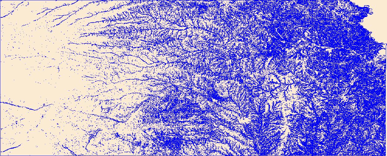
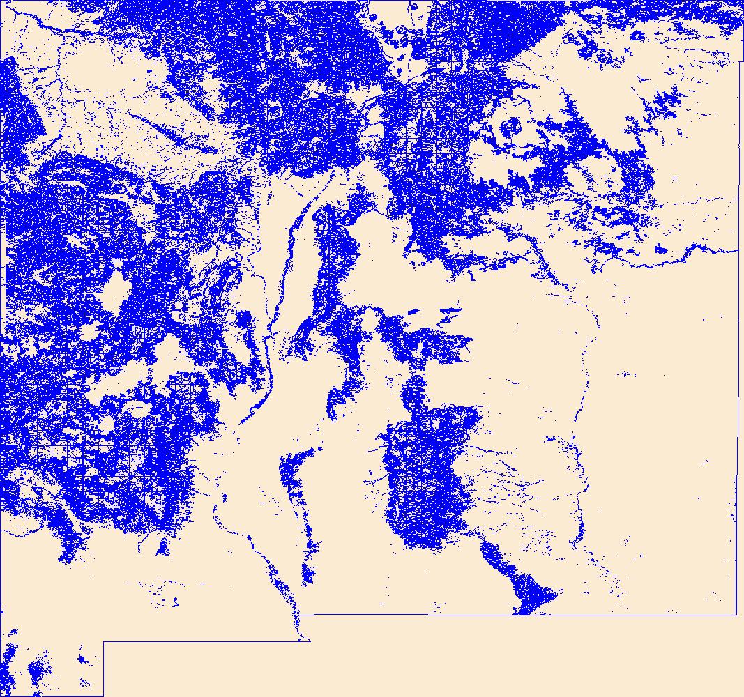
Geospatial data that is a derivative land cover product depicting woodland on topographic maps.

This dataset represents the soil water storage capacity (AWS in mm at 0.5 m depth) from SSURGO and STATSGO soil descriptions for soil map units in the state of northern California that lie within the North Pacific Landscape Conservation Cooperative. Available Water Storage 0-50 cm - Weighted Average (centimeters). Available water storage (AWS). The volume of water that the soil, to a depth of 50 centimeters, can store that is available to plants. It is reported as the weighted average of all components in the map unit, and is expressed as centimeters of water. AWS is calculated from AWC (available water capacity) which is commonly estimated as the difference between the water contents at 1/10 or 1/3 bar (field...

USGS developed The National Map (TNM) Gazetteer as the Federal and national standard (ANSI INCITS 446-2008) for geographic nomenclature based on the Geographic Names Information System (GNIS). The National Map Gazetteer contains information about physical and cultural geographic features, geographic areas, and locational entities that are generally recognizable and locatable by name (have achieved some landmark status) and are of interest to any level of government or to the public for any purpose that would lead to the representation of the feature in printed or electronic maps and/or geographic information systems. The dataset includes features of all types in the United States, its associated areas, and Antarctica,...

The USGS National Hydrography Dataset (NHD) service from The National Map (TNM) is a comprehensive set of digital spatial data that encodes information about naturally occurring and constructed bodies of surface water (lakes, ponds, and reservoirs), paths through which water flows (canals, ditches, streams, and rivers), and related entities such as point features (springs, wells, stream gages, and dams). The information encoded about these features includes classification and other characteristics, delineation, geographic name, position and related measures, a "reach code" through which other information can be related to the NHD, and the direction of water flow. The network of reach codes delineating water and...
Geospatial data that is a derivative land cover product depicting woodland on topographic maps.
|

|
