Filters: Tags: Water Resources (X) > Date Range: {"choice":"month"} (X)
177 results (105ms)|
Filters
Date Types (for Date Range)
Types
Contacts
Categories
Tag Types
|

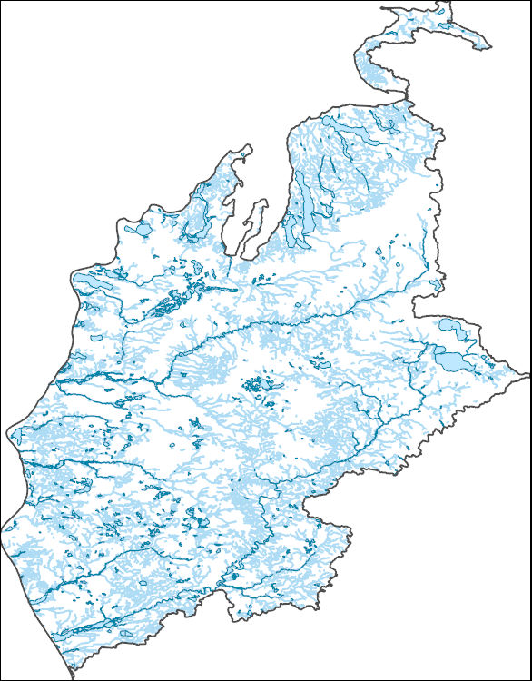
The High Resolution National Hydrography Dataset Plus (NHDPlus HR) is an integrated set of geospatial data layers, including the best available National Hydrography Dataset (NHD), the 10-meter 3D Elevation Program Digital Elevation Model (3DEP DEM), and the National Watershed Boundary Dataset (WBD). The NHDPlus HR combines the NHD, 3DEP DEMs, and WBD to create a stream network with linear referencing, feature naming, "value added attributes" (VAAs), elevation-derived catchments, and other features for hydrologic data analysis. The stream network with linear referencing is a system of data relationships applied to hydrographic systems so that one stream reach "flows" into another and "events" can be tied to and traced...

The High Resolution National Hydrography Dataset Plus (NHDPlus HR) is an integrated set of geospatial data layers, including the best available National Hydrography Dataset (NHD), the 10-meter 3D Elevation Program Digital Elevation Model (3DEP DEM), and the National Watershed Boundary Dataset (WBD). The NHDPlus HR combines the NHD, 3DEP DEMs, and WBD to create a stream network with linear referencing, feature naming, "value added attributes" (VAAs), elevation-derived catchments, and other features for hydrologic data analysis. The stream network with linear referencing is a system of data relationships applied to hydrographic systems so that one stream reach "flows" into another and "events" can be tied to and traced...
Dissolved oxygen estimates were generated to help understand how different alternative management scenarios may affect the likelihood of low dissolved oxygen in Glen Canyon Dam releases. The study aimed to examine the effects of different management alternatives on late summer and early fall dissolved oxygen concentrations in Glen Canyon Dam releases. The estimates represent estimates of dissolved oxygen concentration in Glen Canyon Dam releases between August and October of a given year. These estimates were generated using data collected in Lake Powell reservoir as part of a long-term inter-agency water quality monitoring program conducted by the Bureau of Reclamation, the National Park Service, and the U.S. Geological...
Wetlands are frequently used in the U.S. for treating nitrate in agricultural runoff. However, numerous other biologically active contaminants, such as antibiotics and nitrification inhibitors, regularly co-occur with nitrate and many can affect the efficiency of nitrate removal. This project evaluated the discrete and combined effects of specific veterinary and human antibiotics and a common nitrification inhibitor (nitrapyrin) on nitrate-N treatment efficiency in saturated sediments and floating treatment wetlands. Sediment and water samples were collected from 3 locations at the USDA Meat Animal Research Facility near Clay Center NE in August 2019 for assessment of background conditions in order to determine...
Categories: Data,
Data Release - In Progress;
Tags: Ecology,
Environmental Health,
Geochemistry,
Land Use Change,
USGS Science Data Catalog (SDC),
This U.S. Geological Survey (USGS) data release contains batch formatted annual peak streamflow data (PkFlows_AllSites.txt) through the 2020 water year for six selected USGS streamgages (01321000, 01342797, 01343060, 01346000, 01347000, and 01348000) that recorded the flood of October 31 – November 3, 2019, which severely affected the Mohawk Valley and southern Adirondack region in central New York State. This data release also contains batch formatted specification (PkFlows_AllSites.psf) and output (PEAKFLOWS_ALLSITES.PRT) files from log-Pearson type III (LPIII) flood-frequency analysis of the annual peak streamflow data in version 7.4 of the USGS PeakFQ software (Flynn and others, 2006), which implements the Bulletin...
Categories: Data;
Types: Map Service,
OGC WFS Layer,
OGC WMS Layer,
OGC WMS Service;
Tags: East Canada Creek,
Flood Science,
Groundwater and Streamflow Information,
Hydrology,
Low Flow or Peak Flow,
In 2019, the U.S. Geological Survey (USGS), in cooperation with the Blackfeet Water Department, initiated a multi-year hydrologic investigation of the Blackfeet Indian Reservation. The investigation was designed to increase understanding of the water resources of the Blackfeet Indian Reservation including Birch Creek which forms the southern boundary of the reservation. Streamflow is controlled in the headwaters of Birch Creek through the outflow from Swift Reservoir at Swift Dam. The data included in this data release was provided by the Pondera County Canal and Reservoir Company (PCCRC) and includes Swift Reservoir outflow daily streamflow values and daily streamflow values for three downstream diversions from...
This model archive provides all data, code, and modeling results used in Barclay and others (2023) to assess the ability of process-guided deep learning stream temperature models to accurately incorporate groundwater-discharge processes. We assessed the performance of an existing process-guided deep learning stream temperature model of the Delaware River Basin (USA) and explored four approaches for improving groundwater process representation: 1) a custom loss function that leverages the unique patterns of air and water temperature coupling resulting from different temperature drivers, 2) inclusion of additional groundwater-relevant catchment attributes, 3) incorporation of additional process model outputs, and...
This data release contains three sets of estimated values at selected sites within the Colorado River Basin: 1) daily specific conductance at 143 sites in the Upper Basin and 3 sites in the Lower Basin (WY 1980-2022); 2) daily baseflow discharge at 100 sites in the Upper Basin and 3 sites in the Lower Basin (WY 1980-2022); and 3) seasonal baseflow discharge and baseflow dissolved solids load at 143 sites in the Upper Basin (WY 1986-2020). The estimates of daily baseflow discharge will be used as input to an application of the USGS GSFLOW model, which is a coupled groundwater and surface-water flow model based on the integration of the USGS Precipitation-Runoff Modeling System (PRMS-V) and the USGS Modular Groundwater...
This tabular data set represents the percent of land cover classes in the riparian zone from the 2019 edition of the National Land Cover databases for the years 2001, 2004, 2006, 2008, 2011, 2013, 2016 and 2019 compiled for two spatial components of the NHDPlus version 2.1 data suite (NHDPlusv2) for the conterminous United States; 1) individual reach catchments and 2) reach catchments accumulated upstream through the river network. These databases can be linked to the NHDPlus version 2 data suite by the unique identifier COMID. The source data is the "National Land Cover Database (NLCD) 2019 Products (ver. 2.0, June 2021)" databases for the years 2001, 2004, 2006, 2008, 2011, 2013, 2016, and 2019 produced by the...

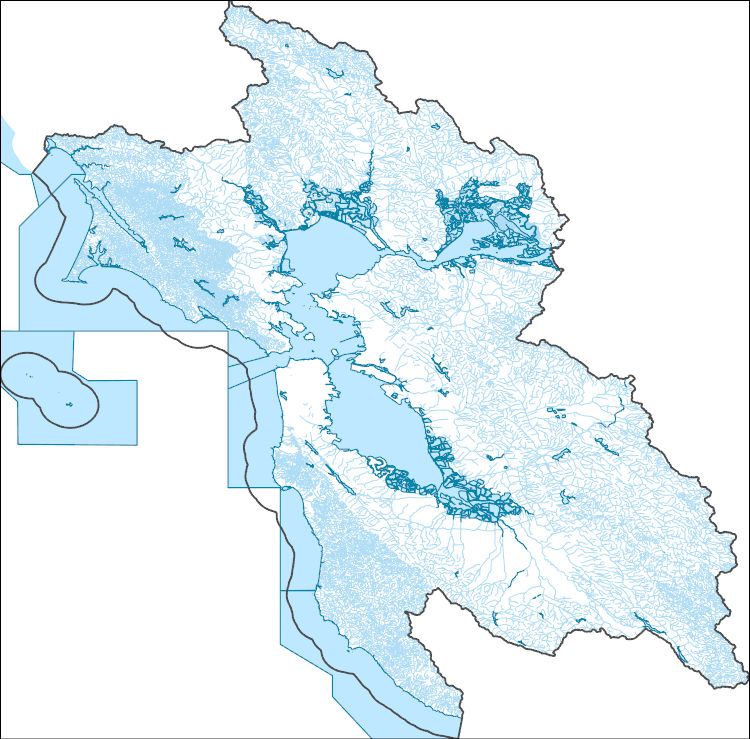
The High Resolution National Hydrography Dataset Plus (NHDPlus HR) is an integrated set of geospatial data layers, including the National Hydrography Dataset (NHD), National Watershed Boundary Dataset (WBD), and 3D Elevation Program Digital Elevation Model (3DEP DEM). The NHDPlus HR combines the NHD, 3DEP DEMs, and WBD to a data suite that includes the NHD stream network with linear referencing functionality, the WBD hydrologic units, elevation-derived catchment areas for each stream segment, "value added attributes" (VAAs), and other features that enhance hydrologic data analysis and routing.
These orthophotos and digital surface model (DSM) were derived from low-altitude (approximately 92-m above ground surface) images collected from Unmanned Aerial System (UAS) flights over edge-of-field sites that are part of U.S. Geological Survey (USGS) Great Lakes Restoration Initiative (GLRI) monitoring. The objective of this UAS photogrammetry data collection was to provide information on the tile-drain network in individual fields with the goal of understanding already observed patterns in runoff amount and water quality from these sites. A 3DR Solo quadcopter served as the flight vehicle, flights were pre-planned using Mission Planner, and flights were flown using Tower. Geospatial data were originally in WGS84...
Categories: Data;
Tags: Brown County,
Great Lakes,
USGS Science Data Catalog (SDC),
Water Resources,
Wisconsin,
These data were compiled for Cabeza Prieta National Wildlife Refuge (CPNWR) in southern Arizona, to support managment efforts of water resources and wildlife conservation. Objective(s) of our study were to 1) measure water storage capacity at select stage heights in three tanks (also termed tinajas), 2) build a stage storage model to help CPNWR staff accurately estimate water volumes throughout the year, and 3) collect topographic data adjacent to the tanks as a means to help connect these survey data to past or future work. These data represent high-resolution (sub-meter) ground based lidar measurements used to meet these objectives and are provided as: processed lidar files (point clouds), rasters (digital elevation...
The Maumee River transports huge loads of nitrogen (N) and phosphorus (P) to Lake Erie. The increased concentrations of N and P are causing eutrophication of the lake, creating hypoxic zones, and contributing to phytoplankton blooms. It is hypothesized that the P loads are a major contributor to harmful algal blooms that occur in the western basin of Lake Erie, particularly in summer. The Maumee River has been identified by the United States Environmental Protection Agency as a priority watershed where action needs to be taken to reduce nutrient loads. This study quantified rates of biogeochemical processes affecting downstream flux of N and P by 1) measuring indices of potential sediment P retention and 2) measuring...
Categories: Data,
Data Release - Revised;
Tags: Fort Wayne,
Indiana,
Maumee River,
Maumee River Basin,
Michigan,

The High Resolution National Hydrography Dataset Plus (NHDPlus HR) is an integrated set of geospatial data layers, including the National Hydrography Dataset (NHD), National Watershed Boundary Dataset (WBD), and 3D Elevation Program Digital Elevation Model (3DEP DEM). The NHDPlus HR combines the NHD, 3DEP DEMs, and WBD to a data suite that includes the NHD stream network with linear referencing functionality, the WBD hydrologic units, elevation-derived catchment areas for each stream segment, "value added attributes" (VAAs), and other features that enhance hydrologic data analysis and routing.
The U.S. Geological Survey (USGS), in cooperation with the Oklahoma Water Resources Board (OWRB), constructed a finite-difference numerical groundwater-flow model of the Washita River aquifer by using MODFLOW-2005 (Harbaugh, 2005) with the Newton formulation solver (MODFLOW-NWT). The 1973 Oklahoma Groundwater Law requires that the OWRB conduct hydrologic investigations of the State’s aquifers to determine the maximum annual yield (MAY) for each groundwater basin. The MAY is defined as the total amount of fresh groundwater that can be annually withdrawn while allowing a minimum 20-year life of that groundwater basin. For alluvium and terrace groundwater basins, the life requirement is satisfied if, after 20 years...
This data release consists of a Microsoft® Access database that contains groundwater withdrawal estimates from known and approximate well locations (withdrawal points) in the Death Valley regional groundwater flow system (DVRFS) to support a regional, three-dimensional, transient groundwater flow model (Belcher and others, 2017; Halford and Jackson, 2020). The database provides information for each withdrawal point including estimated location and completion interval (Moreo and others, 2003). Groundwater withdrawal estimates for each withdrawal point have been compiled by water use and year. Uncertainty was assigned to the annual withdrawal values based on the use and method of estimation (Moreo and others, 2003)....

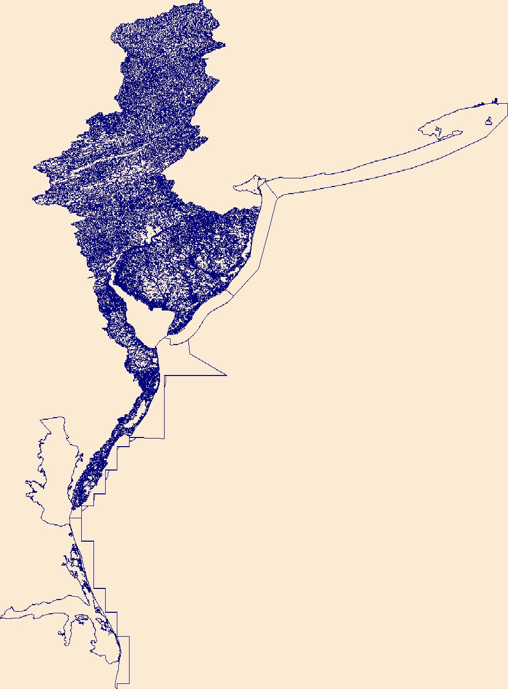
The High Resolution National Hydrography Dataset Plus (NHDPlus HR) is an integrated set of geospatial data layers, including the best available National Hydrography Dataset (NHD), the 10-meter 3D Elevation Program Digital Elevation Model (3DEP DEM), and the National Watershed Boundary Dataset (WBD). The NHDPlus HR combines the NHD, 3DEP DEMs, and WBD to create a stream network with linear referencing, feature naming, "value added attributes" (VAAs), elevation-derived catchments, and other features for hydrologic data analysis. The stream network with linear referencing is a system of data relationships applied to hydrographic systems so that one stream reach "flows" into another and "events" can be tied to and traced...
This data release contains monthly 270-meter resolution Basin Characterization Model (BCMv8) climate and hydrologic variables for Localized Constructed Analog (LOCA; Pierce et al., 2014)-downscaled CNRM-CM5 Global Climate Model (GCM) for Representative Concentration Pathway (RCP) 4.5 (medium-low emissions) and 8.5 (high emissions) for hydrologic California. The LOCA climate scenarios span water years 1950 to 2099 with greenhouse-gas forcings beginning in 2006. The LOCA downscaling method has been shown to produce better estimates of extreme events and reduces the common downscaling problem of too many low-precipitation days (Pierce et al., 2014). Ten GCMs were selected from the full ensemble of models from the fifth...
Note: this data release is currently being revised and is temporarily unavailable. This data release accompanies the USGS Techniques and Methods report titled: "The Basin Characterization Model - A Regional Water Balance Software Package", and includes all necessary Basin Characterization Model version 8 (BCMv8) inputs and outputs for water years 1896 to 2022. The BCMv8 was refined from the previous BCMv65 version to improve the accuracy of the water-balance components, particularly the recharge estimate. The new version includes seven new features: (1) monthly vegetation-specific actual evapotranspiration (AET) for 65 vegetation types, (2) spatially distributed calibration coefficients for snow accumulation and...
In support of a preliminary analysis performed by New York State Department of Environmental Conservation (NYSDEC) that found elevated nutrient levels along selected reaches of the Mohawk River, one-dimensional, unsteady, hydraulic and water-quality models using HEC-RAS and HEC-RAS Nutrient Simulation Module I (version 5.0.3) were developed by the U.S. Geological Survey (USGS) for the 127-mile reach of the Mohawk River between Rome and Cohoes, New York. The models were designed to accurately simulate within-channel flow conditions for this highly regulated, control structure dense river reach. The models were calibrated for the study period of May through September 2016 using best available streamflow, temperature,...
Types: Map Service,
OGC WFS Layer,
OGC WMS Layer,
OGC WMS Service;
Tags: Amsterdam,
Aquatic Biology,
Cohoes,
Environmental Health,
HEC-RAS,
|

|