Filters: Tags: Water Resources (X) > Date Range: {"choice":"week"} (X)
38 results (56ms)|
Filters
Date Types (for Date Range)
Contacts (Less)
Categories (Less) Tag Types Tag Schemes
|
Model Inputs: Midwest Climate Change Vulnerability Assessment for the U.S. Fish and Wildlife Service
This data release contains the climate change model inputs and Soil and Water Assessment Tool (SWAT) model outputs from 360 HUC-8 watersheds in the Midwest United States (Illinois, Indiana, Iowa, Michigan, Minnesota, Ohio, and Wisconsin), that were generated using the HAWQS (Hydrologic and Water Quality System) platform (https://hawqs.tamu.edu). The summarized data for a watershed-based climate change vulnerability assessment for U.S. Fish and Wildlife Service is also provided, along with the R code used to summarize the raw outputs. Watershed-based Midwest Climate Change Vulnerability Assessment Tool: https://rconnect.usgs.gov/CC_Vulnerabi
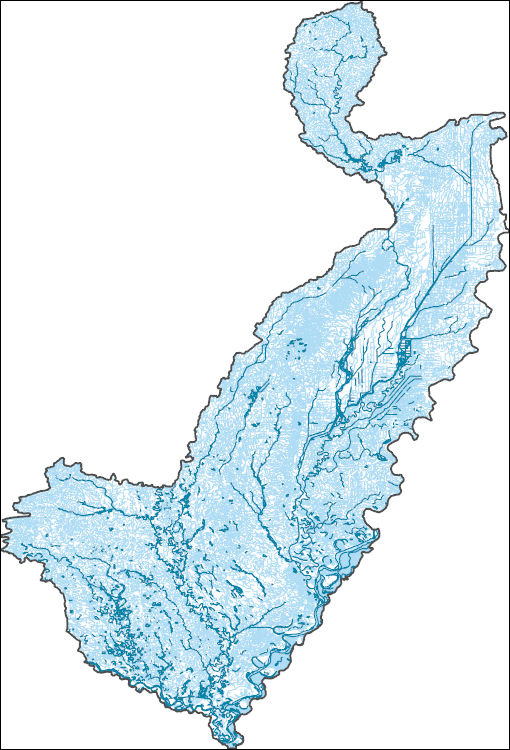
The High Resolution National Hydrography Dataset Plus (NHDPlus HR) is an integrated set of geospatial data layers, including the best available National Hydrography Dataset (NHD), the 10-meter 3D Elevation Program Digital Elevation Model (3DEP DEM), and the National Watershed Boundary Dataset (WBD). The NHDPlus HR combines the NHD, 3DEP DEMs, and WBD to create a stream network with linear referencing, feature naming, "value added attributes" (VAAs), elevation-derived catchments, and other features for hydrologic data analysis. The stream network with linear referencing is a system of data relationships applied to hydrographic systems so that one stream reach "flows" into another and "events" can be tied to and traced...
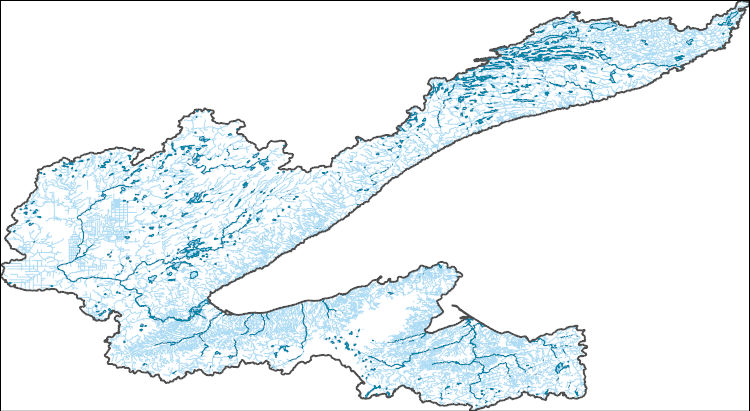
The High Resolution National Hydrography Dataset Plus (NHDPlus HR) is an integrated set of geospatial data layers, including the best available National Hydrography Dataset (NHD), the 10-meter 3D Elevation Program Digital Elevation Model (3DEP DEM), and the National Watershed Boundary Dataset (WBD). The NHDPlus HR combines the NHD, 3DEP DEMs, and WBD to create a stream network with linear referencing, feature naming, "value added attributes" (VAAs), elevation-derived catchments, and other features for hydrologic data analysis. The stream network with linear referencing is a system of data relationships applied to hydrographic systems so that one stream reach "flows" into another and "events" can be tied to and traced...
The High Resolution National Hydrography Dataset Plus (NHDPlus HR) is an integrated set of geospatial data layers, including the best available National Hydrography Dataset (NHD), the 10-meter 3D Elevation Program Digital Elevation Model (3DEP DEM), and the National Watershed Boundary Dataset (WBD). The NHDPlus HR combines the NHD, 3DEP DEMs, and WBD to create a stream network with linear referencing, feature naming, "value added attributes" (VAAs), elevation-derived catchments, and other features for hydrologic data analysis. The stream network with linear referencing is a system of data relationships applied to hydrographic systems so that one stream reach "flows" into another and "events" can be tied to and traced...
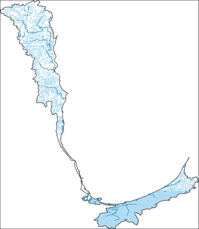
The High Resolution National Hydrography Dataset Plus (NHDPlus HR) is an integrated set of geospatial data layers, including the best available National Hydrography Dataset (NHD), the 10-meter 3D Elevation Program Digital Elevation Model (3DEP DEM), and the National Watershed Boundary Dataset (WBD). The NHDPlus HR combines the NHD, 3DEP DEMs, and WBD to create a stream network with linear referencing, feature naming, "value added attributes" (VAAs), elevation-derived catchments, and other features for hydrologic data analysis. The stream network with linear referencing is a system of data relationships applied to hydrographic systems so that one stream reach "flows" into another and "events" can be tied to and traced...
This dataset includes otolith and water chemistry used for determining natal origins of individuals from six species. The dataset contains Sr:Ca and Ba:Ca of water samples for the Mississippi River and tributaries as well as otolith Sr, Ba, Mg values from fishes collected in navigation pools 4, 8, 13, and 26 of the Upper Mississippi River, as well as the Open River Reach of the Middle Mississippi River and the La Grange Pool of the Illinois River. Fishes included Bullhead Minnow, Emerald Shiner, Gizzard Shad, Bluegill, Orangespotted Sunfish, and Yellow Perch. Laser ablation inductively coupled mass spectrometry to quantify natal origins of these prey fish. Upwards of 50-75% of individuals at a given river reach...
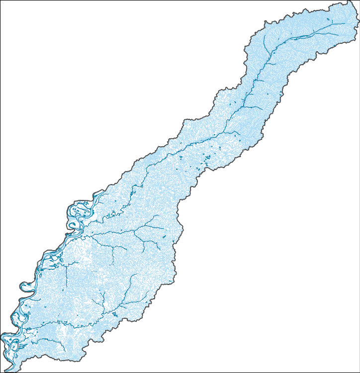
The High Resolution National Hydrography Dataset Plus (NHDPlus HR) is an integrated set of geospatial data layers, including the best available National Hydrography Dataset (NHD), the 10-meter 3D Elevation Program Digital Elevation Model (3DEP DEM), and the National Watershed Boundary Dataset (WBD). The NHDPlus HR combines the NHD, 3DEP DEMs, and WBD to create a stream network with linear referencing, feature naming, "value added attributes" (VAAs), elevation-derived catchments, and other features for hydrologic data analysis. The stream network with linear referencing is a system of data relationships applied to hydrographic systems so that one stream reach "flows" into another and "events" can be tied to and traced...
This data release provides a monthly irrigation water use reanalysis for the period 2000-20 for all USGS Watershed Boundary Dataset of Subwatersheds (HUC12) in the conterminous United States (CONUS). Results include reference evapotranspiration (ETo), actual evapotranspiration (ETa), irrigated areas, consumptive use, and effective precipitation for each HUC12. ETo and ETa were estimated using the operational Simplified Surface Energy Balance (SSEBop, Senay and others, 2013; Senay and others, 2020) model executed in the OpenET (Melton and others, 2021) web-based application implemented in Google Earth Engine. Results provided by OpenET/SSEBop were summarized to hydrologic response units (HRUs) in the National Hydrologic...
Categories: Data;
Types: Map Service,
OGC WFS Layer,
OGC WMS Layer,
OGC WMS Service;
Tags: Conterminous United States (CONUS),
Geography,
Hydrology,
USGS Science Data Catalog (SDC),
Water Resources,
Note: this data release is currently being revised and is temporarily unavailable The U.S. Geological Survey (USGS) Water Resources Mission Area (WMA) is working to address a need to understand where the Nation is experiencing water shortages or surpluses relative to the demand for water need by delivering routine assessments of water supply and demand and an understanding of the natural and human factors affecting the balance between supply and demand. A key part of these national assessments is identifying long-term trends in water availability, including groundwater and surface water quantity, quality, and use. This data release contains Mann-Kendall monotonic trend analyses for 18 observed annual and monthly...
Categories: Data,
Data Release - Under Revision;
Tags: Hydrology,
United States,
Water Resources,
droughts,
floods,
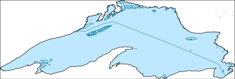
The High Resolution National Hydrography Dataset Plus (NHDPlus HR) is an integrated set of geospatial data layers, including the best available National Hydrography Dataset (NHD), the 10-meter 3D Elevation Program Digital Elevation Model (3DEP DEM), and the National Watershed Boundary Dataset (WBD). The NHDPlus HR combines the NHD, 3DEP DEMs, and WBD to create a stream network with linear referencing, feature naming, "value added attributes" (VAAs), elevation-derived catchments, and other features for hydrologic data analysis. The stream network with linear referencing is a system of data relationships applied to hydrographic systems so that one stream reach "flows" into another and "events" can be tied to and traced...
The data set includes the daily streamflow predictions from (Long Short-Term Memory) LSTM models for 45 basins (27 basins in New England region and 18 basins in Great Basin region) in contrasting hydroclimate regions (water-limited Great Basin region and energy-limited New England region) in the United States. Also, the shapefiles of study basins and hydroclimate regions, and data to support the statistical results, figures, and tables are included.
Categories: Data;
Types: Map Service,
OGC WFS Layer,
OGC WMS Layer,
OGC WMS Service;
Tags: Hydrology,
LSTM,
USGS Science Data Catalog (SDC),
Water Resources,
farming,
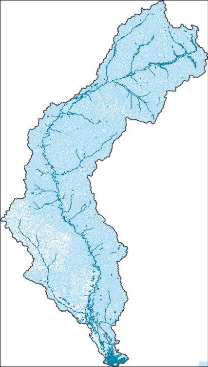
The High Resolution National Hydrography Dataset Plus (NHDPlus HR) is an integrated set of geospatial data layers, including the best available National Hydrography Dataset (NHD), the 10-meter 3D Elevation Program Digital Elevation Model (3DEP DEM), and the National Watershed Boundary Dataset (WBD). The NHDPlus HR combines the NHD, 3DEP DEMs, and WBD to create a stream network with linear referencing, feature naming, "value added attributes" (VAAs), elevation-derived catchments, and other features for hydrologic data analysis. The stream network with linear referencing is a system of data relationships applied to hydrographic systems so that one stream reach "flows" into another and "events" can be tied to and traced...
A three-dimensional groundwater flow model of the Central Valley in California was developed to aid water managers in understanding how water moves through the aquifer system, to predict water-supply scenarios, and to address issues related to subsidence. The USGS California Water Science Center made a detailed assessment of groundwater availability of the Central Valley aquifer system, which includes: (1) the status of groundwater resources; (2) how these resources have changed over time, particularly related to subsidence; and (3) tools to assess system responses to stresses from future human uses and climate variability and change. This effort builds on previous investigations, such as the USGS Central Valley...
Categories: Data;
Tags: California,
Central Valley,
Corcoran Clay,
Sacramento Valley,
San Joaquin Basin,
High-frequency observations of surface water at fine spatial scales are critical to effectively manage aquatic habitat, flood risk and water quality. We developed inundation algorithms for Sentinel-1 and Sentinel-2 across 12 sites within the conterminous United States (CONUS) covering >536,000 km2 and representing diverse hydrologic and vegetation landscapes. These algorithms were trained on data from 13,412 points spread throughout the 12 sites. Each scene in the 5-year (2017-2021) time series was classified into open water, vegetated water, and non-water at 20 m resolution using variables not only from Sentinel-1 and Sentinel-2, but also variables derived from topographic and weather datasets. The Sentinel-1 model...
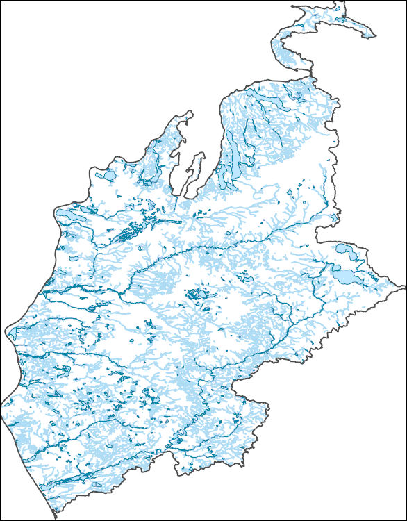
The High Resolution National Hydrography Dataset Plus (NHDPlus HR) is an integrated set of geospatial data layers, including the best available National Hydrography Dataset (NHD), the 10-meter 3D Elevation Program Digital Elevation Model (3DEP DEM), and the National Watershed Boundary Dataset (WBD). The NHDPlus HR combines the NHD, 3DEP DEMs, and WBD to create a stream network with linear referencing, feature naming, "value added attributes" (VAAs), elevation-derived catchments, and other features for hydrologic data analysis. The stream network with linear referencing is a system of data relationships applied to hydrographic systems so that one stream reach "flows" into another and "events" can be tied to and traced...
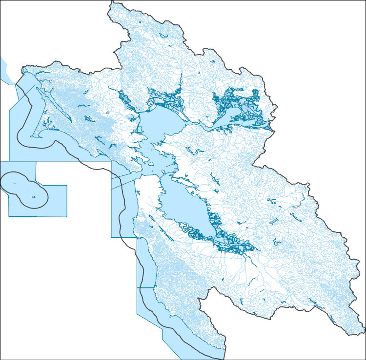
The High Resolution National Hydrography Dataset Plus (NHDPlus HR) is an integrated set of geospatial data layers, including the best available National Hydrography Dataset (NHD), the 10-meter 3D Elevation Program Digital Elevation Model (3DEP DEM), and the National Watershed Boundary Dataset (WBD). The NHDPlus HR combines the NHD, 3DEP DEMs, and WBD to create a stream network with linear referencing, feature naming, "value added attributes" (VAAs), elevation-derived catchments, and other features for hydrologic data analysis. The stream network with linear referencing is a system of data relationships applied to hydrographic systems so that one stream reach "flows" into another and "events" can be tied to and traced...
The U.S. Geological Survey (USGS), in cooperation with the Oklahoma Water Resources Board (OWRB), constructed a finite-difference numerical groundwater-flow model of the Washita River aquifer by using MODFLOW-2005 (Harbaugh, 2005) with the Newton formulation solver (MODFLOW-NWT). The 1973 Oklahoma Groundwater Law requires that the OWRB conduct hydrologic investigations of the State’s aquifers to determine the maximum annual yield (MAY) for each groundwater basin. The MAY is defined as the total amount of fresh groundwater that can be annually withdrawn while allowing a minimum 20-year life of that groundwater basin. For alluvium and terrace groundwater basins, the life requirement is satisfied if, after 20 years...
This data release consists of a Microsoft® Access database that contains groundwater withdrawal estimates from known and approximate well locations (withdrawal points) in the Death Valley regional groundwater flow system (DVRFS) to support a regional, three-dimensional, transient groundwater flow model (Belcher and others, 2017; Halford and Jackson, 2020). The database provides information for each withdrawal point including estimated location and completion interval (Moreo and others, 2003). Groundwater withdrawal estimates for each withdrawal point have been compiled by water use and year. Uncertainty was assigned to the annual withdrawal values based on the use and method of estimation (Moreo and others, 2003)....

The High Resolution National Hydrography Dataset Plus (NHDPlus HR) is an integrated set of geospatial data layers, including the best available National Hydrography Dataset (NHD), the 10-meter 3D Elevation Program Digital Elevation Model (3DEP DEM), and the National Watershed Boundary Dataset (WBD). The NHDPlus HR combines the NHD, 3DEP DEMs, and WBD to create a stream network with linear referencing, feature naming, "value added attributes" (VAAs), elevation-derived catchments, and other features for hydrologic data analysis. The stream network with linear referencing is a system of data relationships applied to hydrographic systems so that one stream reach "flows" into another and "events" can be tied to and traced...
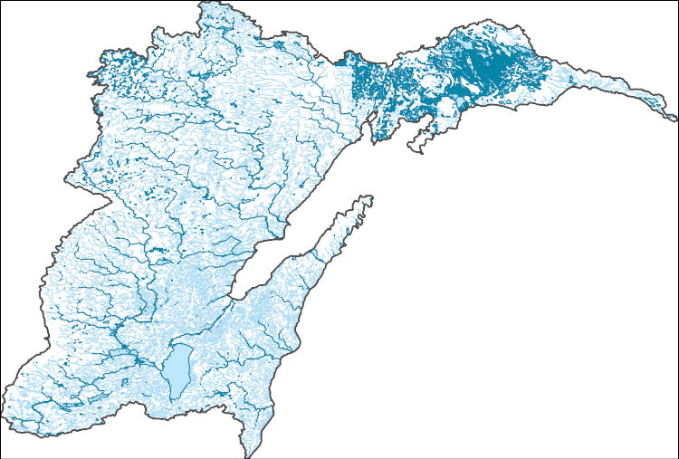
The High Resolution National Hydrography Dataset Plus (NHDPlus HR) is an integrated set of geospatial data layers, including the best available National Hydrography Dataset (NHD), the 10-meter 3D Elevation Program Digital Elevation Model (3DEP DEM), and the National Watershed Boundary Dataset (WBD). The NHDPlus HR combines the NHD, 3DEP DEMs, and WBD to create a stream network with linear referencing, feature naming, "value added attributes" (VAAs), elevation-derived catchments, and other features for hydrologic data analysis. The stream network with linear referencing is a system of data relationships applied to hydrographic systems so that one stream reach "flows" into another and "events" can be tied to and traced...
|

|