Filters: Tags: Watershed Boundaries (X) > Categories: Data (X) > partyWithName: U.S. Geological Survey (X)
2 results (8ms)|
Filters
Date Range
Extensions Types Contacts
Tag Types Tag Schemes |

The National Hydrography Dataset (NHD) is a feature-based database that interconnects and uniquely identifies the stream segments or reaches that make up the nation's surface water drainage system. NHD data was originally developed at 1:100,000-scale and exists at that scale for the whole country. This high-resolution NHD, generally developed at 1:24,000/1:12,000 scale, adds detail to the original 1:100,000-scale NHD. (Data for Alaska, Puerto Rico and the Virgin Islands was developed at high-resolution, not 1:100,000 scale.) Local resolution NHD is being developed where partners and data exist. The NHD contains reach codes for networked features, flow direction, names, and centerline representations for areal water...
Categories: Data;
Types: Citation;
Tags: Administrative watershed units,
Area of Complex Channels,
Area to be submerged,
Basin,
Bay/Inlet,
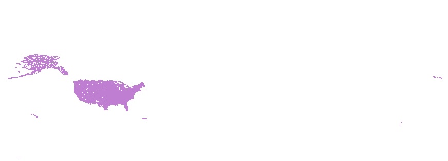
This product contains 1,297 watershed boundaries for water quality study sites of the U.S. Geological Survey (USGS) National Water Quality Program (NWQP) Surface Water Trends project. These include sites where water quality information was collected by both USGS and non-USGS agencies. The data consist of 1,285 boundaries in the conterminous United States, and 12 in Puerto Rico. Twenty-seven percent of boundaries were assembled from other efforts within the USGS which are using the same sites, and 73 percent of boundaries were created new for this project. The data are posted as a single shapefile with separate polygons for each boundary.
Categories: Data;
Types: Citation;
Tags: Basin boundaries,
Geographic Information Systems,
Geospatial Analysis,
Geospatial Datasets,
NHDPlus,
|

|